Long Hill Copse
Wood, Forest in Hampshire Hart
England
Long Hill Copse

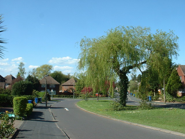
Long Hill Copse is a picturesque woodland located in the county of Hampshire, England. Covering an area of approximately 50 acres, it is situated on the slopes of Long Hill, offering stunning views of the surrounding countryside.
The copse is predominantly made up of native broadleaf trees, including oak, beech, and birch, which create a rich and diverse habitat for a variety of wildlife. The dense canopy provides a sheltered environment for numerous bird species, such as woodpeckers, tits, and warblers, to nest and forage for food.
The woodland floor is carpeted with an array of wildflowers, ferns, and mosses, adding to the natural beauty of the area. In spring, the forest comes alive with a burst of vibrant colors as bluebells, primroses, and wild garlic bloom, attracting butterflies and bees.
Long Hill Copse is crisscrossed by a network of footpaths and trails, allowing visitors to explore the woodland at their leisure. The paths meander through the trees, leading to hidden glades and tranquil clearings, perfect for picnics or simply enjoying the peace and tranquility of the surroundings.
The copse is also a popular spot for nature enthusiasts and photographers, who come to capture the beauty of the changing seasons. In autumn, the forest transforms into a symphony of golden hues as the leaves change color, offering a stunning backdrop for photographs.
Overall, Long Hill Copse is a cherished natural gem in Hampshire, offering a serene and enchanting woodland experience for visitors and providing a vital habitat for a diverse range of flora and fauna.
If you have any feedback on the listing, please let us know in the comments section below.
Long Hill Copse Images
Images are sourced within 2km of 51.264413/-0.80860977 or Grid Reference SU8352. Thanks to Geograph Open Source API. All images are credited.


Long Hill Copse is located at Grid Ref: SU8352 (Lat: 51.264413, Lng: -0.80860977)
Administrative County: Hampshire
District: Hart
Police Authority: Hampshire
What 3 Words
///static.common.locals. Near Fleet, Hampshire
Nearby Locations
Related Wikis
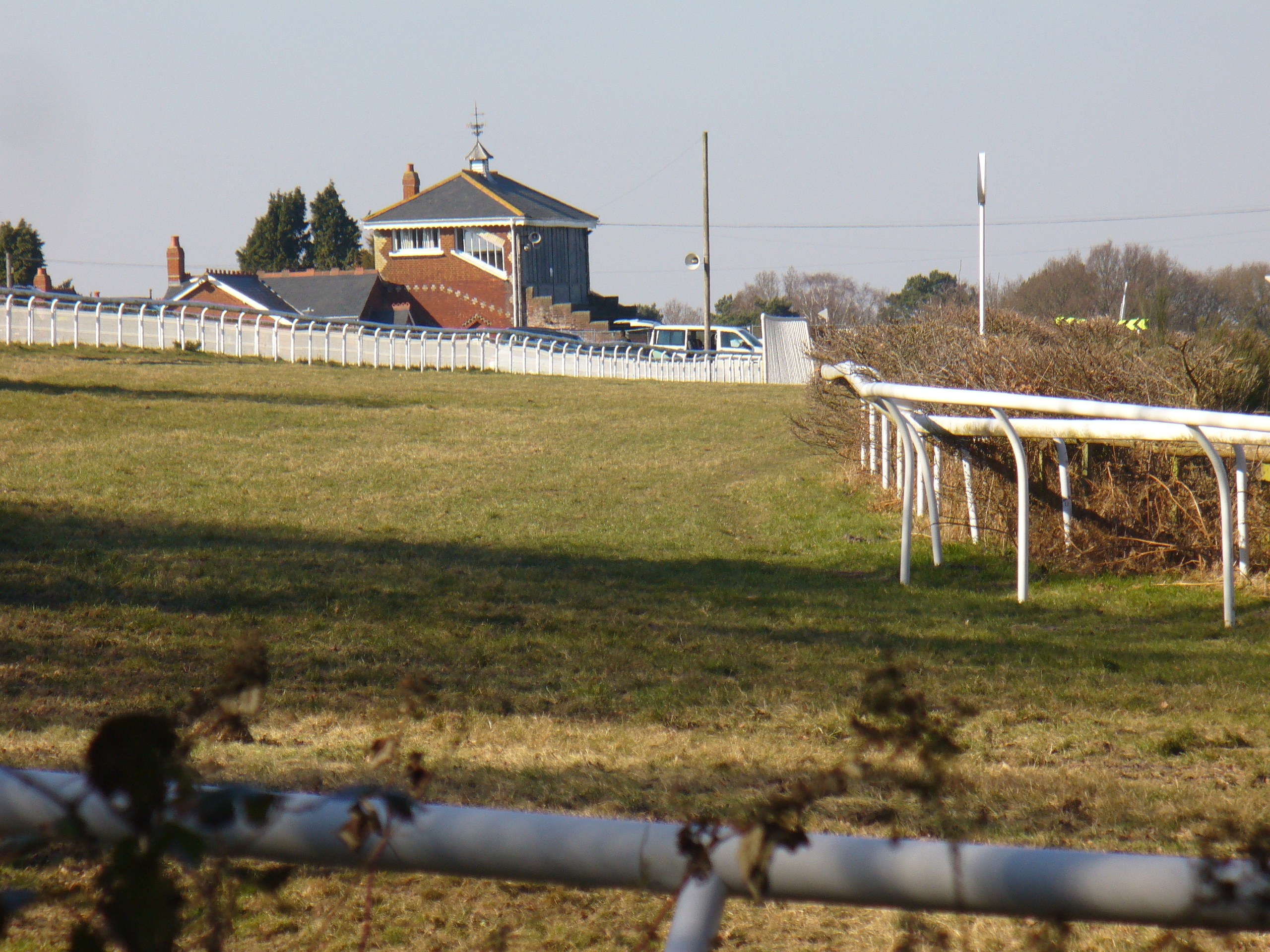
Tweseldown Racecourse
Tweseldown Racecourse southeast of Fleet, Hampshire was originally a National Hunt steeplechasing venue and the home of the equestrian dressage and eventing...

Bourley and Long Valley
Bourley and Long Valley is a 823.5-hectare (2,035-acre) biological Site of Special Scientific Interest between Fleet and Aldershot in Hampshire. It is...

Eelmoor Marsh
Eelmoor Marsh is a 66.3-hectare (164-acre) biological Site of Special Scientific Interest between Fleet and Farnborough in Hampshire. It is part of Thames...

Farnborough North End F.C.
Farnborough North End Football Club is a football club based in Farnborough, Hampshire. They are currently members of the Guildford & Woking Alliance Division...
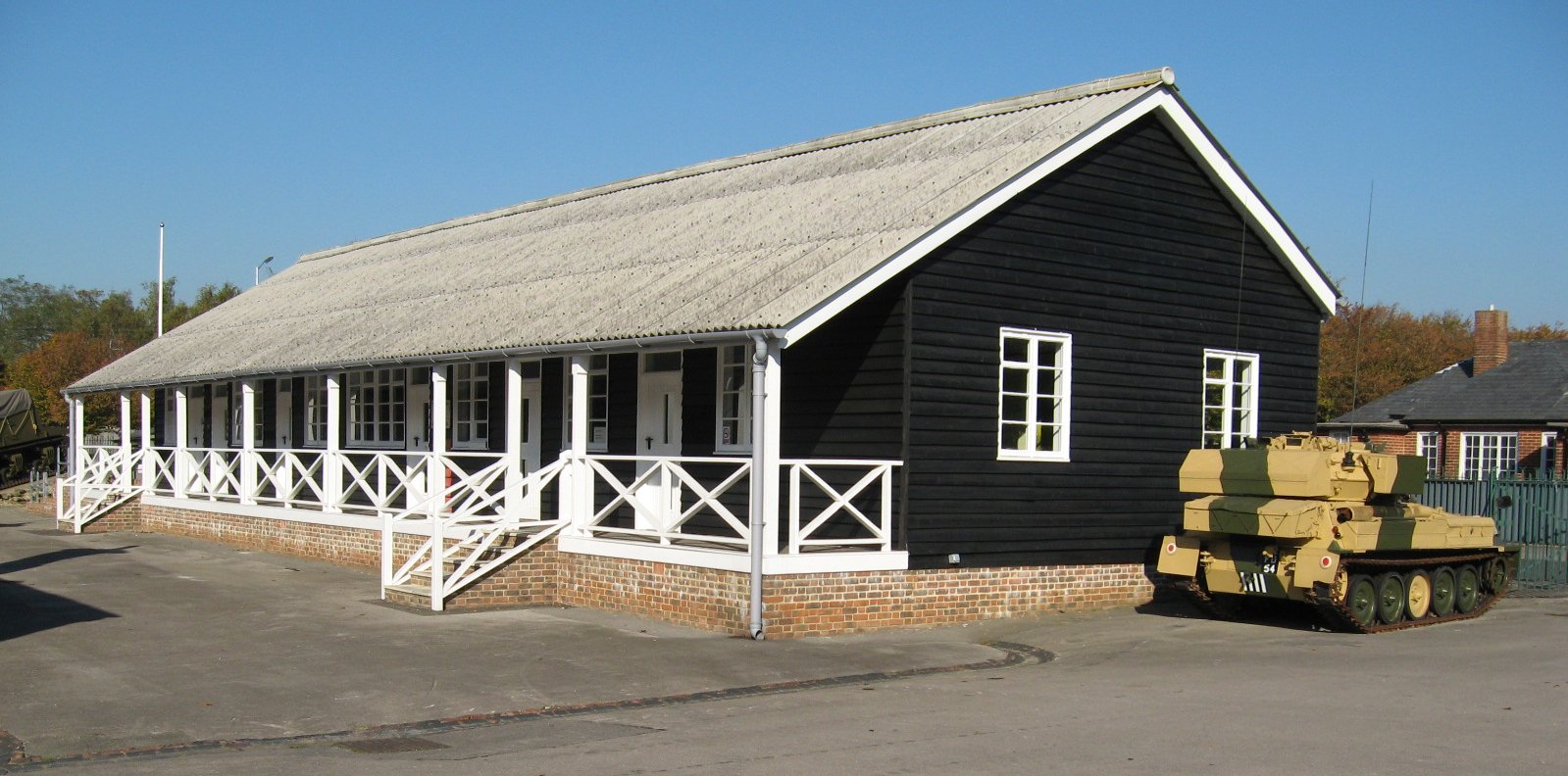
Queen Elizabeth Barracks, Church Crookham
Queen Elizabeth Barracks was a military installation at Church Crookham, Hampshire, England. == History == The barracks, which were originally known as...
Rushmoor Arena
Rushmoor Arena is an outdoor arena in Aldershot. It is a secure area of 28 Hectares (68 acres) surrounded by a security fence which is mainly hidden by...
National Gas Turbine Establishment
The National Gas Turbine Establishment (NGTE Pyestock) in Farnborough, part of the Royal Aircraft Establishment (RAE), was the prime site in the UK for...
Church Crookham
Church Crookham is a large suburban village and civil parish, contiguous with the town of Fleet, in northeast Hampshire, England. It is 38 miles (61 km...
Nearby Amenities
Located within 500m of 51.264413,-0.80860977Have you been to Long Hill Copse?
Leave your review of Long Hill Copse below (or comments, questions and feedback).