Eelmoor Hill West

Hill, Mountain in Hampshire Rushmoor

England

Eelmoor Hill West

Tweseldown Looking northeast across Tweseldown Race Course towards Farnborough Aerodrome.
Tweseldown Credit: Brendan and Ruth McCartney

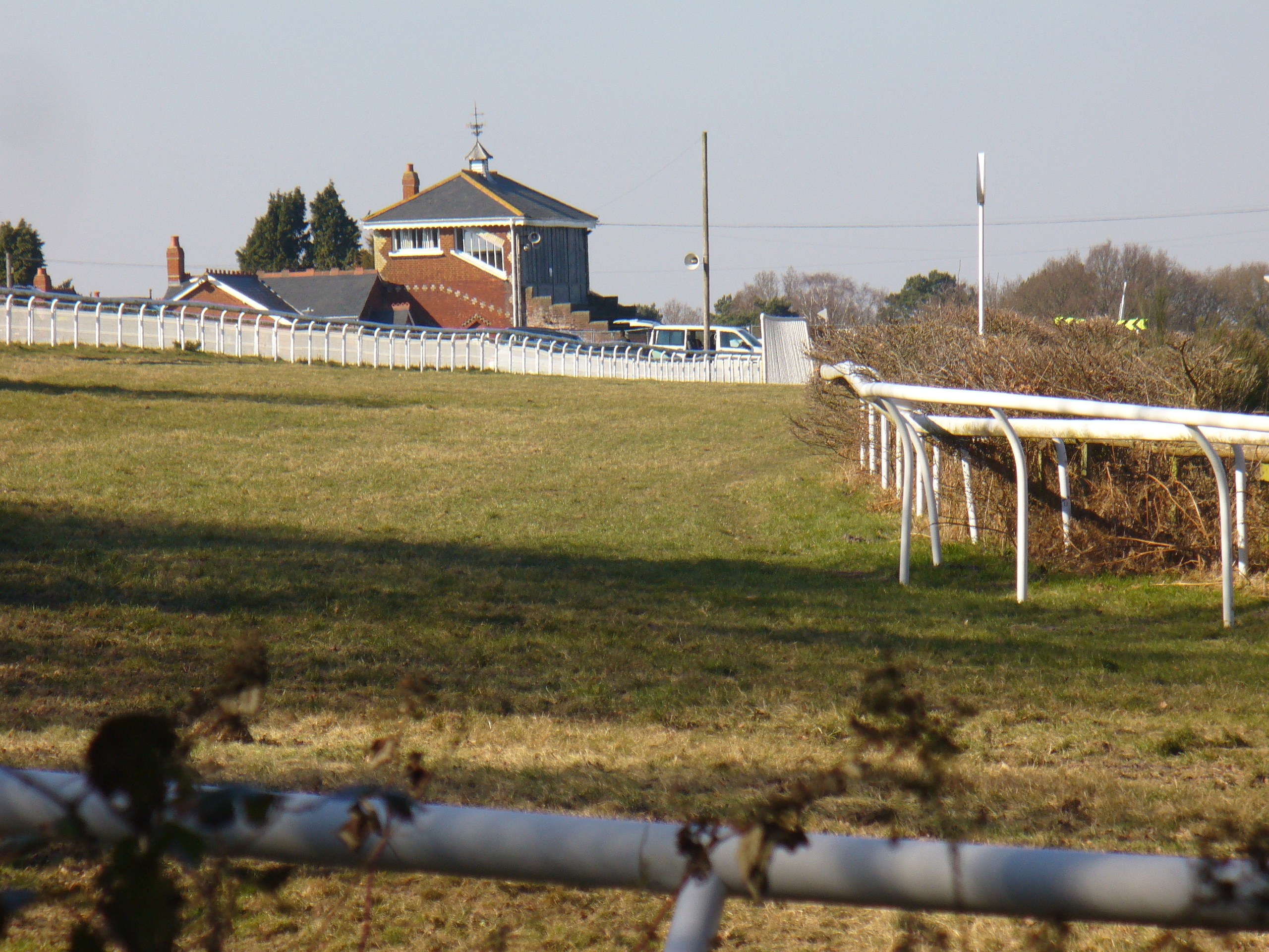
Eelmoor Hill West is a prominent hill located in Hampshire, England. Situated near the town of Farnborough, it forms part of the larger Eelmoor Hill range which stretches across the county. With an elevation of approximately 130 meters (426 feet), it offers picturesque views of the surrounding countryside.

The hill is known for its diverse wildlife and rich biodiversity. It is home to various species of birds, butterflies, and wildflowers, making it a popular destination for nature enthusiasts and birdwatchers. The hill is also dotted with ancient woodlands, which provide a habitat for a range of flora and fauna.

Eelmoor Hill West is easily accessible by foot, with several footpaths and trails leading to its summit. Hikers and walkers can enjoy the peacefulness of the area, surrounded by rolling hills and open countryside. On clear days, the hill provides stunning panoramic views of the nearby towns and villages, as well as glimpses of the South Downs National Park in the distance.

Due to its location, Eelmoor Hill West offers a range of recreational activities. It is a favored spot for paragliding and hang gliding, attracting enthusiasts from across the region. The hill's gentle slopes and favorable wind conditions make it an ideal location for these aerial sports.

Overall, Eelmoor Hill West is a natural gem within Hampshire. Its beauty, diverse wildlife, and recreational opportunities make it a cherished destination for both locals and visitors alike.

If you have any feedback on the listing, please let us know in the comments section below.

Eelmoor Hill West Images

Images are sourced within 2km of 51.267494/-0.79776526 or Grid Reference SU8352. Thanks to Geograph Open Source API. All images are credited.

Tweseldown Looking northeast across Tweseldown Race Course towards Farnborough Aerodrome.
Tweseldown
Looking northeast across Tweseldown Race Course towards Farnborough Aerodrome.
Farnborough Looking northeast from Mill Hill with the MoD radio station in the distance. This square is partial woodland and the rest is part of Farnborough aerodrome - various government and private buildings.
Farnborough
Looking northeast from Mill Hill with the MoD radio station in the distance. This square is partial woodland and the rest is part of Farnborough aerodrome - various government and private buildings.
Long Valley Looking south-southwest from Miles Hill along Long Valley.
Long Valley
Looking south-southwest from Miles Hill along Long Valley.
Basingstoke Canal Looking west along the Basingstoke Canal on the southwest corner of Farnborough aerodrome.
Basingstoke Canal
Looking west along the Basingstoke Canal on the southwest corner of Farnborough aerodrome.
Basingstoke Canal at Eelmoor Bridge Looking east along the Basingstoke Canal from the bridge at the southwest corner of Farnborough Aerodrome
Basingstoke Canal at Eelmoor Bridge
Looking east along the Basingstoke Canal from the bridge at the southwest corner of Farnborough Aerodrome
Claycart Hill Much of this square is military land, either Army training areas or part of Farnborough aerodrome. This is a view from the A323 looking towards Watts Common.
Claycart Hill
Much of this square is military land, either Army training areas or part of Farnborough aerodrome. This is a view from the A323 looking towards Watts Common.
Farnborough The western end of Farnborough aerodrome from just north of Eelmoor Bridge.
Farnborough
The western end of Farnborough aerodrome from just north of Eelmoor Bridge.
Camping Ground near Tweseldown This seems to be MOD land - I assume that the term "Camping Ground" on the map refers to Army activities on this site. It's just a field in the woods.
Camping Ground near Tweseldown
This seems to be MOD land - I assume that the term "Camping Ground" on the map refers to Army activities on this site. It's just a field in the woods.
Tweseldown Racecourse Buildings
The Wellington Monument, Aldershot Seen across the Church car park
The Wellington Monument, Aldershot
Seen across the Church car park
Basingstoke Canal at Pondtail Taken on a fresh winter's morning looking east
Basingstoke Canal at Pondtail
Taken on a fresh winter's morning looking east
Rushmoor Arena Banger Racing At Rushmoor Arena.
Photograph taken with Fuji Finepix 1400Zoom.
Rushmoor Arena
Banger Racing At Rushmoor Arena. Photograph taken with Fuji Finepix 1400Zoom.
Road through woods Got lost as all the roads looked the same around here.  Stopped off to snap this one
Road through woods
Got lost as all the roads looked the same around here. Stopped off to snap this one
Grassy ride, Aunt's Pool Hill In the middle of the Aldershot pine forest.
Grassy ride, Aunt's Pool Hill
In the middle of the Aldershot pine forest.
Cody Technology Park Qinetiq buildings near Farnborough airfield. The new road layout confused the photographer.
Cody Technology Park
Qinetiq buildings near Farnborough airfield. The new road layout confused the photographer.
Southwood Golf Club Viewed from Kennels Lane.
Southwood Golf Club
Viewed from Kennels Lane.
Farnborough Arrival A view looking to the north across Laffans Plain as a corporate jet arrives for the 2006 Farnborough Airshow.
Farnborough Arrival
A view looking to the north across Laffans Plain as a corporate jet arrives for the 2006 Farnborough Airshow.
Bridges over the Canal Box bridge and bailey bridge giving access to the south west corner of Farnborough Airport.
Bridges over the Canal
Box bridge and bailey bridge giving access to the south west corner of Farnborough Airport.
Show me another place!

Eelmoor Hill West is located at Grid Ref: SU8352 (Lat: 51.267494, Lng: -0.79776526)

Administrative County: Hampshire

District: Rushmoor

Police Authority: Hampshire

What 3 Words

///haystack.slimmer.results. Near Fleet, Hampshire

Related Wikis

Eelmoor Marsh

Eelmoor Marsh is a 66.3-hectare (164-acre) biological Site of Special Scientific Interest between Fleet and Farnborough in Hampshire. It is part of Thames...

Farnborough North End F.C.

Farnborough North End Football Club is a football club based in Farnborough, Hampshire. They are currently members of the Guildford & Woking Alliance Division...

Rushmoor Arena

Rushmoor Arena is an outdoor arena in Aldershot. It is a secure area of 28 Hectares (68 acres) surrounded by a security fence which is mainly hidden by...

Bourley and Long Valley

Bourley and Long Valley is a 823.5-hectare (2,035-acre) biological Site of Special Scientific Interest between Fleet and Aldershot in Hampshire. It is...

Tweseldown Racecourse

Tweseldown Racecourse southeast of Fleet, Hampshire was originally a National Hunt steeplechasing venue and the home of the equestrian dressage and eventing...

Farnborough Airport

Farnborough Airport (IATA: FAB, ICAO: EGLF) (previously called: TAG Farnborough Airport, RAE Farnborough, ICAO Code EGLF) is an operational business/executive...

1952 Farnborough Airshow crash

On 6 September 1952, a prototype de Havilland DH.110 jet fighter crashed during an aerial display at the Farnborough Airshow in Hampshire, England. The...

National Gas Turbine Establishment

The National Gas Turbine Establishment (NGTE Pyestock) in Farnborough, part of the Royal Aircraft Establishment (RAE), was the prime site in the UK for...

Nearby Amenities

Located within 500m of 51.267494,-0.79776526
Ravine Head
Place: locality
Lat/Long: 51.2636247/-0.7950534
Eelmoor Hill
Place: locality
Lat/Long: 51.2677318/-0.7929098
Eelmoor Driver Training Area
Place: locality
Lat/Long: 51.2665362/-0.8026495
Miles Hill
Place: locality
Lat/Long: 51.27/-0.8034434
Distance: 30.0
Operator: Basingstoke Canal
Waterway: milestone
Lat/Long: 51.2682576/-0.7915877
Access: no
Lat/Long: 51.2678328/-0.7923408
The data included in this document is from www.openstreetmap.org. The data is made available under ODbL.

Have you been to Eelmoor Hill West?

Leave your review of Eelmoor Hill West below (or comments, questions and feedback).