Hussar Copses
Wood, Forest in Hampshire Hart
England
Hussar Copses

Hussar Copses is a picturesque woodland area located in Hampshire, England. Spread over approximately 100 acres, it is a thriving forest that attracts nature enthusiasts and outdoor lovers alike. The copses are nestled within the larger New Forest National Park, which is known for its diverse ecosystem and rich history.
The woodland comprises a mix of deciduous and evergreen trees, including oak, beech, and pine, creating a vibrant and varied landscape throughout the year. The forest floor is adorned with a carpet of bluebells during springtime, while autumn brings a stunning display of colorful foliage. The dense foliage provides a habitat for a wide range of bird species, making it a popular spot for birdwatching.
Hussar Copses offers numerous walking trails, allowing visitors to explore the forest at their own pace. These trails wind through the woodland, leading to hidden clearings and small streams, providing a tranquil environment for relaxation and reflection. The area is also home to a variety of wildlife, including deer, foxes, and rabbits, offering opportunities for nature photography and wildlife spotting.
With its serene atmosphere and natural beauty, Hussar Copses provides a welcome escape from the hustle and bustle of everyday life. Whether it be for leisurely walks, picnics, or simply immersing oneself in nature, this Hampshire woodland is a must-visit destination for those seeking solace and a connection with the great outdoors.
If you have any feedback on the listing, please let us know in the comments section below.
Hussar Copses Images
Images are sourced within 2km of 51.268413/-0.80939507 or Grid Reference SU8352. Thanks to Geograph Open Source API. All images are credited.


Hussar Copses is located at Grid Ref: SU8352 (Lat: 51.268413, Lng: -0.80939507)
Administrative County: Hampshire
District: Hart
Police Authority: Hampshire
What 3 Words
///equipping.less.symphony. Near Fleet, Hampshire
Nearby Locations
Related Wikis

Eelmoor Marsh
Eelmoor Marsh is a 66.3-hectare (164-acre) biological Site of Special Scientific Interest between Fleet and Farnborough in Hampshire. It is part of Thames...
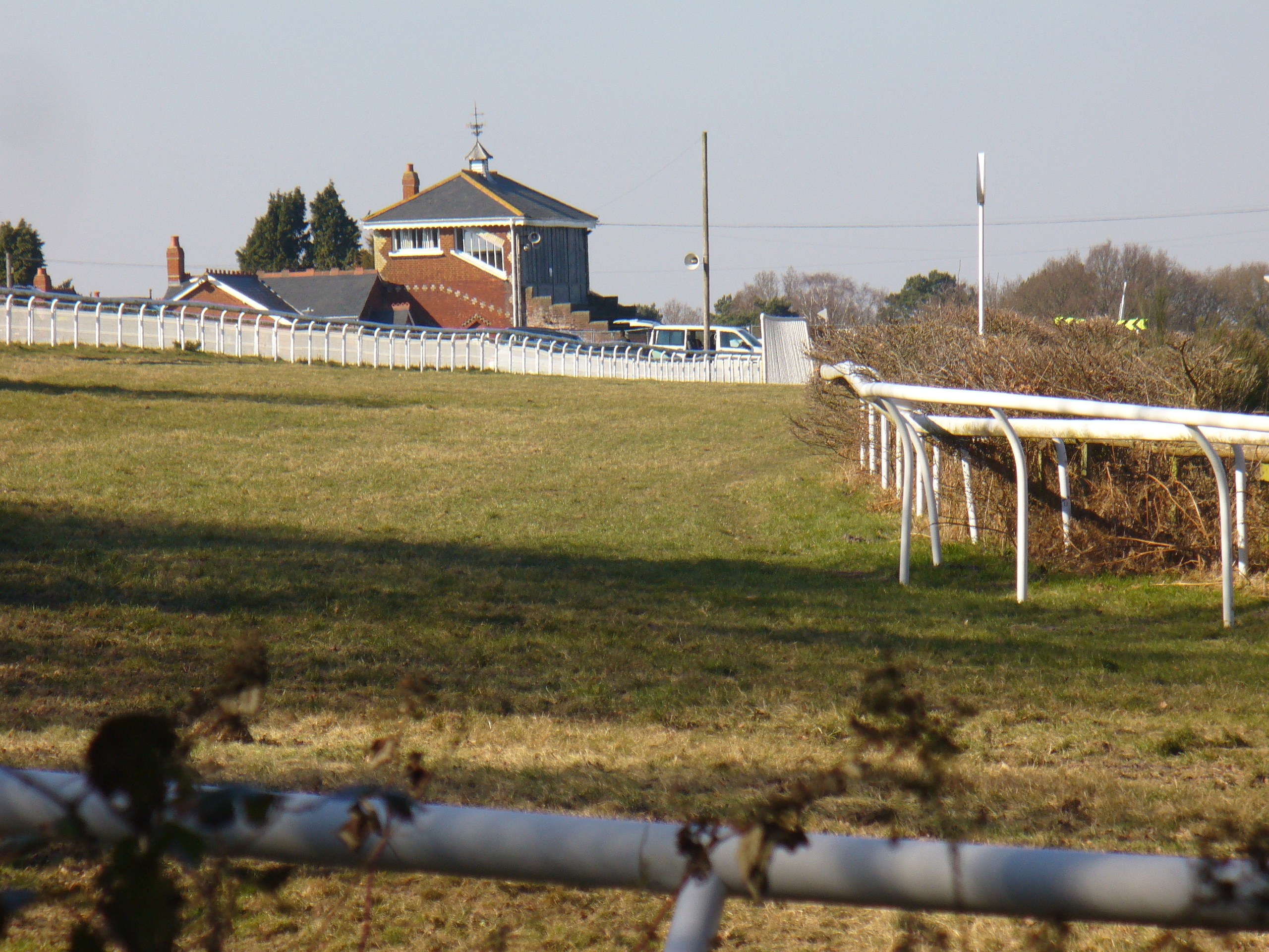
Tweseldown Racecourse
Tweseldown Racecourse southeast of Fleet, Hampshire was originally a National Hunt steeplechasing venue and the home of the equestrian dressage and eventing...

Farnborough North End F.C.
Farnborough North End Football Club is a football club based in Farnborough, Hampshire. They are currently members of the Guildford & Woking Alliance Division...

Bourley and Long Valley
Bourley and Long Valley is a 823.5-hectare (2,035-acre) biological Site of Special Scientific Interest between Fleet and Aldershot in Hampshire. It is...
National Gas Turbine Establishment
The National Gas Turbine Establishment (NGTE Pyestock) in Farnborough, part of the Royal Aircraft Establishment (RAE), was the prime site in the UK for...
Queen Elizabeth Barracks, Church Crookham
Queen Elizabeth Barracks was a military installation at Church Crookham, Hampshire, England. == History == The barracks, which were originally known as...
Church Crookham
Church Crookham is a large suburban village and civil parish, contiguous with the town of Fleet, in northeast Hampshire, England. It is 38 miles (61 km...
Rushmoor Arena
Rushmoor Arena is an outdoor arena in Aldershot. It is a secure area of 28 Hectares (68 acres) surrounded by a security fence which is mainly hidden by...
Nearby Amenities
Located within 500m of 51.268413,-0.80939507Have you been to Hussar Copses?
Leave your review of Hussar Copses below (or comments, questions and feedback).