Mary's Rest Reservoir
Lake, Pool, Pond, Freshwater Marsh in Yorkshire
England
Mary's Rest Reservoir
Mary's Rest Reservoir is a picturesque freshwater body located in the county of Yorkshire, England. Situated amidst the serene countryside, this reservoir offers a tranquil escape for nature enthusiasts and outdoor lovers alike. Spanning an area of approximately 50 acres, it serves as a vital water source for the local community.
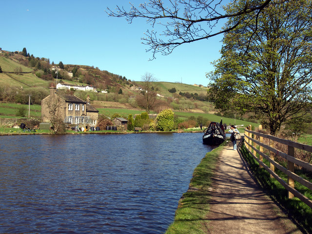
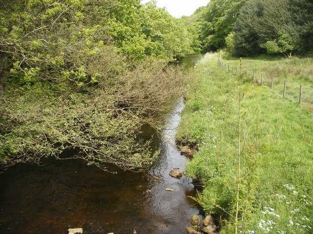
The reservoir, often referred to as a lake due to its size, boasts crystal-clear waters that shimmer under the sun's rays. Its banks are adorned with lush greenery, creating a stunning landscape that attracts visitors throughout the year. The reservoir is surrounded by rolling hills, providing a breathtaking backdrop for those seeking relaxation and solitude.
Despite its relatively small size, Mary's Rest Reservoir is teeming with diverse wildlife. The calm waters are home to an array of freshwater fish species, making it a popular spot for fishing enthusiasts. Anglers can be seen casting their lines from the shores or from small boats, hoping to catch trout, perch, or pike.
The reservoir also serves as a haven for various bird species, making it a paradise for birdwatchers. Visitors can spot graceful swans gliding across the water's surface, as well as a plethora of ducks, herons, and kingfishers. Surrounding reed beds and marshy areas provide a habitat for a wide range of wetland birds, adding to the reservoir's ecological significance.
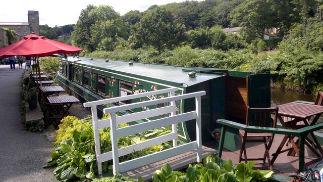
Mary's Rest Reservoir is easily accessible, with well-maintained footpaths meandering around its perimeter. These paths offer visitors the opportunity to take leisurely walks, immersing themselves in the natural beauty that surrounds the area. Additionally, the reservoir has a small picnic area, where families and friends can enjoy a peaceful outdoor meal while admiring the scenic vistas.
Overall, Mary's Rest Reservoir is a hidden gem in the heart of Yorkshire, offering a serene escape, abundant wildlife, and breathtaking views for those seeking solace in nature.
If you have any feedback on the listing, please let us know in the comments section below.
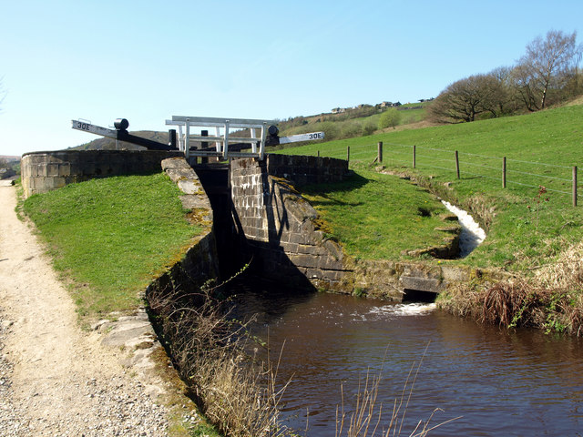
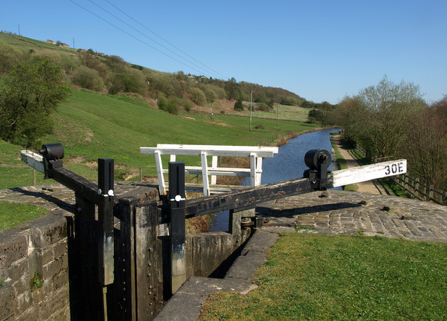
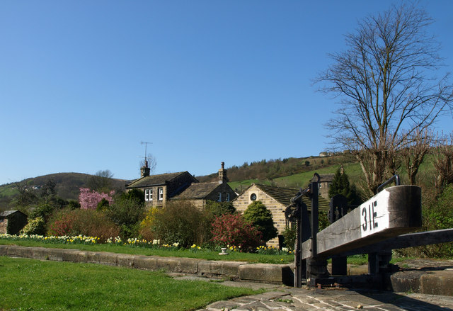
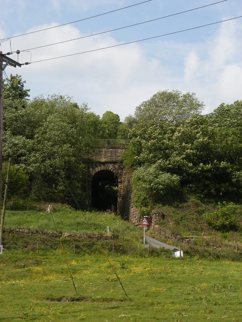
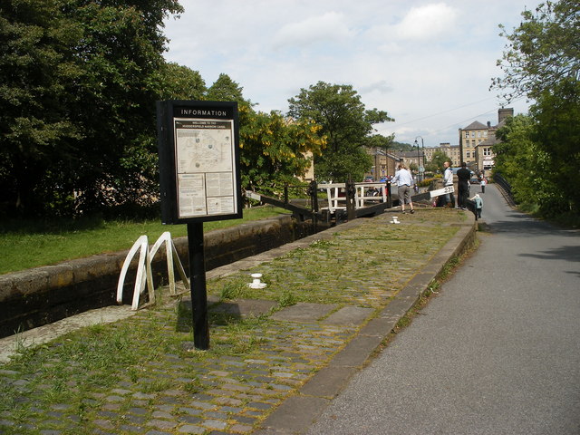
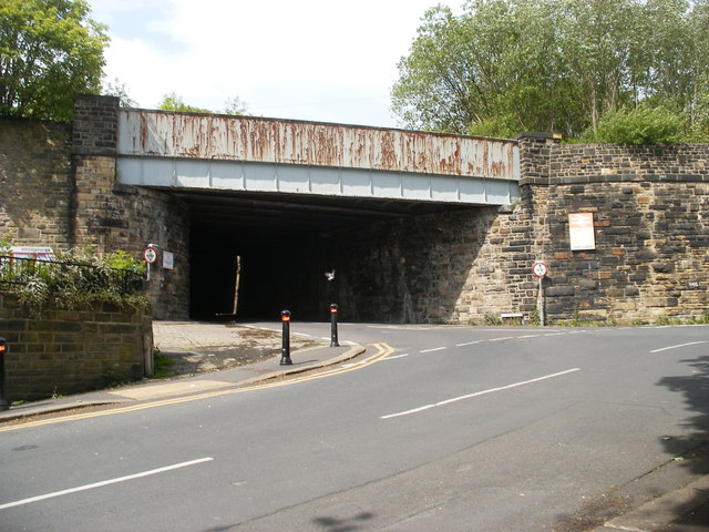
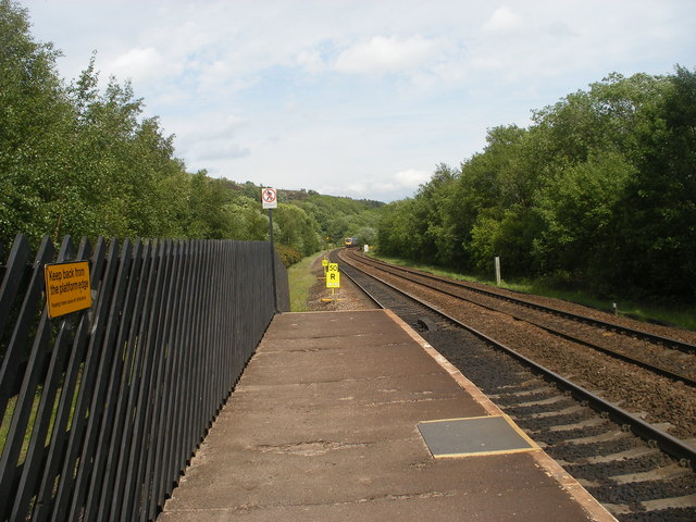
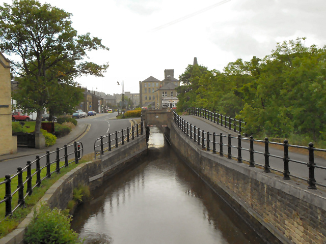
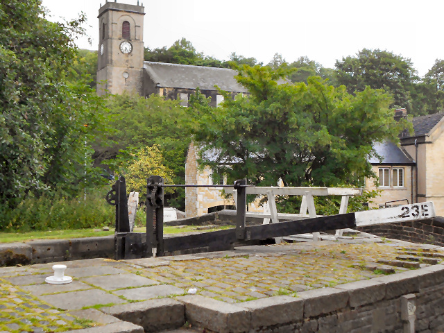
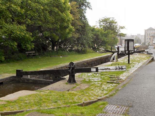
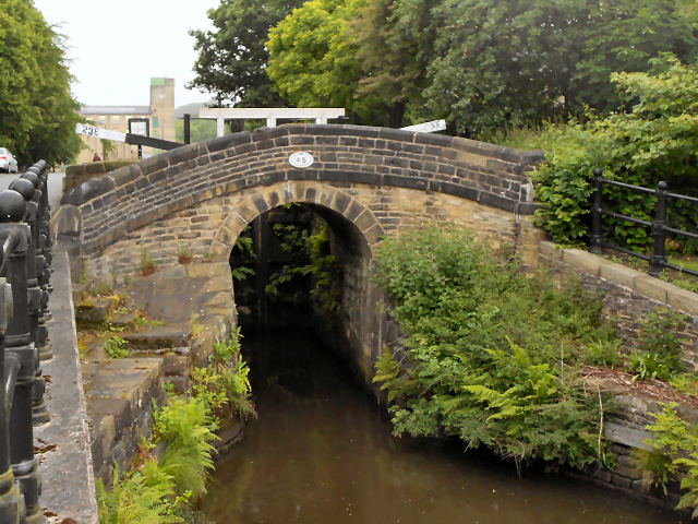
Mary's Rest Reservoir Images
Images are sourced within 2km of 53.615068/-1.8848985 or Grid Reference SE0713. Thanks to Geograph Open Source API. All images are credited.
Mary's Rest Reservoir is located at Grid Ref: SE0713 (Lat: 53.615068, Lng: -1.8848985)
Division: West Riding
Unitary Authority: Kirklees
Police Authority: West Yorkshire
What 3 Words
///presenter.engineers.sensitive. Near Blackmoorfoot, West Yorkshire
Nearby Locations
Related Wikis

Slaithwaite
Slaithwaite (, locally 'Slaithwaite' ; Old Norse for "timber-fell thwaite/clearing") is a town and former civil parish in the Colne Valley area of the...

Slaithwaite Town Hall
Slaithwaite Town Hall, also known as Empire House is a former municipal building in Lewisham Road in the town of Slaithwaite, West Yorkshire, England....

Slaithwaite railway station
Slaithwaite railway station serves the town of Slaithwaite, West Yorkshire, England. The station is 4 miles (6 km) west of Huddersfield railway station...

Colne Valley (UK Parliament constituency)
Colne Valley is a constituency represented in the House of Commons of the UK Parliament since 2019 by Jason McCartney of the Conservative Party. ��2�...

Wilberlee
Wilberlee is a hamlet in the Colne Valley, in the Kirklees district, in the county of West Yorkshire, England. It is near the town of Huddersfield and...

Colne Valley
The Colne Valley is a steep sided valley on the east flank of the Pennine Hills in the English county of West Yorkshire. It takes its name from the River...
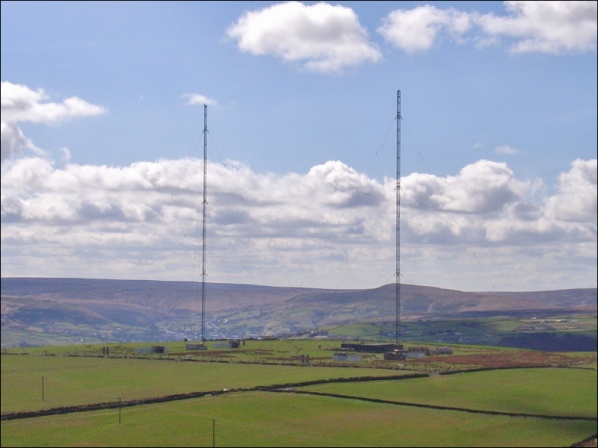
Moorside Edge transmitting station
Moorside Edge transmitting station, opened in 1931, was originally constructed to radiate the BBC's North Regional (from 17 May on 626 kHz) and National...

Moorside Edge
The Moorside Edge is a steeply sloping area of moorland at grid reference SE070154 just north of Slaithwaite and about 5 miles (8 km) west of Huddersfield...
Nearby Amenities
Located within 500m of 53.615068,-1.8848985Have you been to Mary's Rest Reservoir?
Leave your review of Mary's Rest Reservoir below (or comments, questions and feedback).