Howgate Wood
Wood, Forest in Yorkshire
England
Howgate Wood
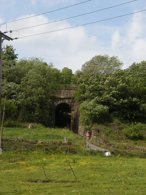
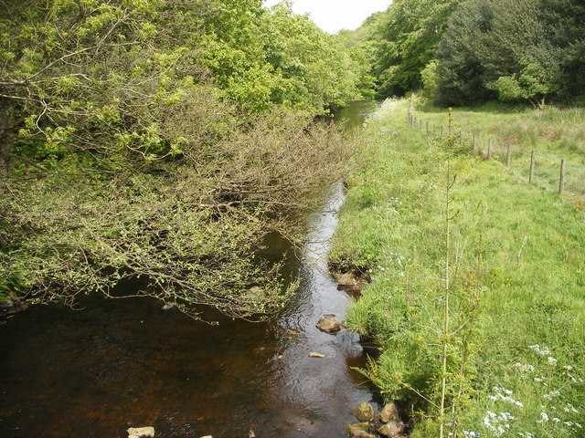
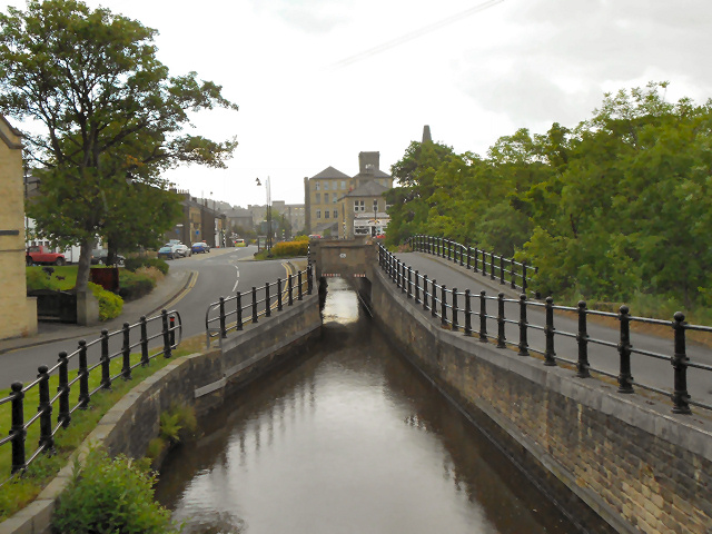
Howgate Wood is a picturesque woodland area located in Yorkshire, England. Spread across an approximate area of 100 acres, it is nestled within the rolling countryside and offers a tranquil escape for nature enthusiasts and visitors alike.
The wood is primarily made up of native broadleaf trees, including oak, ash, and birch, which provide a dense canopy and create a rich and diverse habitat for a variety of flora and fauna. Bluebells, wild garlic, and wood sorrel carpet the forest floor during the spring months, adding a splash of vibrant colors to the surroundings.
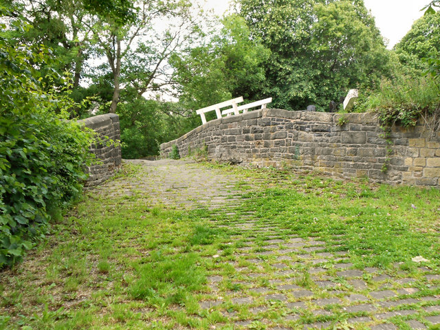
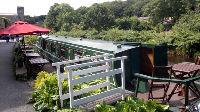
Several well-maintained footpaths wind their way through the wood, allowing visitors to explore its beauty at their own pace. These paths are easily accessible and suitable for walkers of all abilities, including those with strollers or wheelchairs. Additionally, there are designated picnic areas dotted throughout the wood, providing a perfect spot to enjoy a packed lunch amidst the peaceful ambiance.
Howgate Wood is also home to a range of wildlife. Birdwatchers can spot a variety of feathered residents, including woodpeckers, owls, and various songbirds. Squirrels scurry through the trees, while deer and foxes occasionally make appearances, adding an element of enchantment to the woodland experience.
Managed by the local council, Howgate Wood is well-preserved and offers a haven for wildlife conservation. It is open to the public throughout the year, allowing visitors to witness the changing seasons and experience the beauty of nature in this picturesque part of Yorkshire.
If you have any feedback on the listing, please let us know in the comments section below.
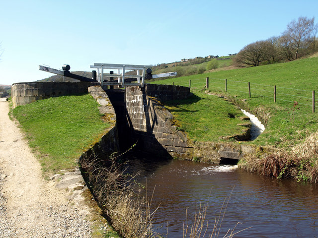
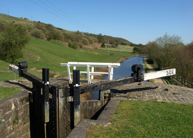
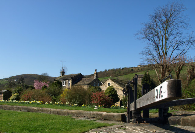
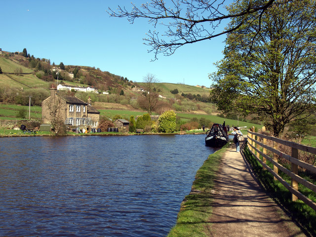
Howgate Wood Images
Images are sourced within 2km of 53.621631/-1.8871938 or Grid Reference SE0713. Thanks to Geograph Open Source API. All images are credited.
Howgate Wood is located at Grid Ref: SE0713 (Lat: 53.621631, Lng: -1.8871938)
Division: West Riding
Unitary Authority: Kirklees
Police Authority: West Yorkshire
What 3 Words
///tolerable.fairway.succeed. Near Blackmoorfoot, West Yorkshire
Nearby Locations
Related Wikis

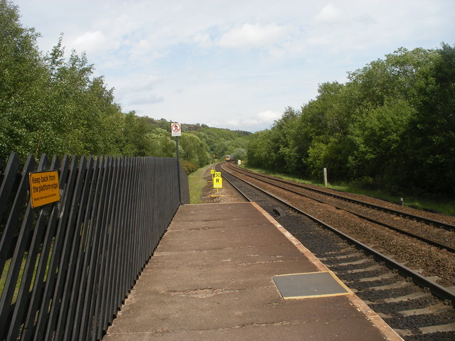
Slaithwaite railway station
Slaithwaite railway station serves the town of Slaithwaite, West Yorkshire, England. The station is 4 miles (6 km) west of Huddersfield railway station...

Slaithwaite Town Hall
Slaithwaite Town Hall, also known as Empire House is a former municipal building in Lewisham Road in the town of Slaithwaite, West Yorkshire, England....

Slaithwaite
Slaithwaite (, locally 'Slaithwaite' ; Old Norse for "timber-fell thwaite/clearing") is a town and former civil parish in the Colne Valley area of the...

Wilberlee
Wilberlee is a hamlet in the Colne Valley, in the Kirklees district, in the county of West Yorkshire, England. It is near the town of Huddersfield and...
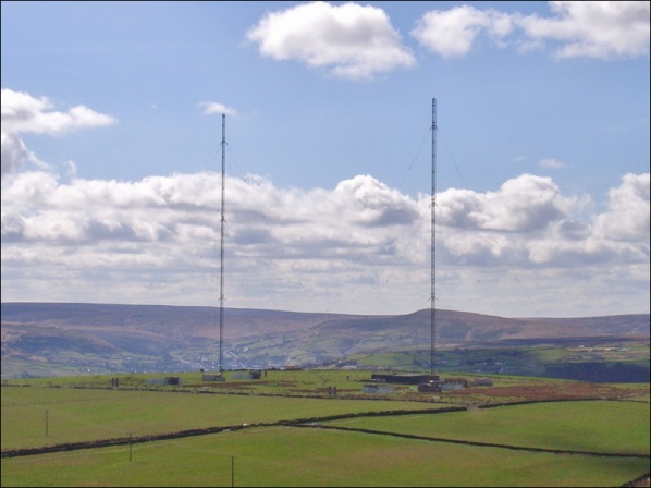
Moorside Edge transmitting station
Moorside Edge transmitting station, opened in 1931, was originally constructed to radiate the BBC's North Regional (from 17 May on 626 kHz) and National...

Moorside Edge
The Moorside Edge is a steeply sloping area of moorland at grid reference SE070154 just north of Slaithwaite and about 5 miles (8 km) west of Huddersfield...

Colne Valley (UK Parliament constituency)
Colne Valley is a constituency represented in the House of Commons of the UK Parliament since 2019 by Jason McCartney of the Conservative Party. ��2�...

Colne Valley
The Colne Valley is a steep sided valley on the east flank of the Pennine Hills in the English county of West Yorkshire. It takes its name from the River...
Nearby Amenities
Located within 500m of 53.621631,-1.8871938Have you been to Howgate Wood?
Leave your review of Howgate Wood below (or comments, questions and feedback).