Shaw Carr Wood

Wood, Forest in Yorkshire

England

Shaw Carr Wood

Lock 30E on the Huddersfield Narrow Canal Lovely weather; lovely walk!
Lock 30E on the Huddersfield Narrow Canal Credit: Andy Beecroft

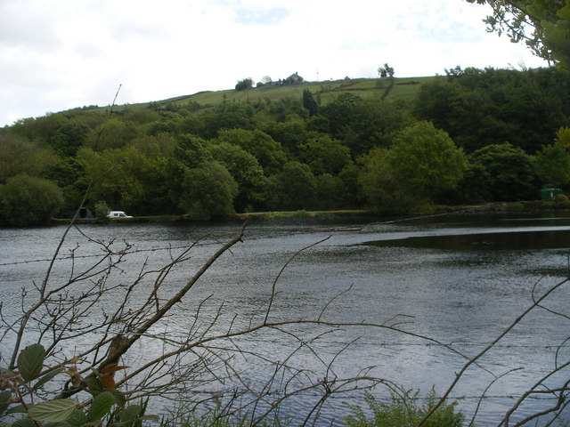
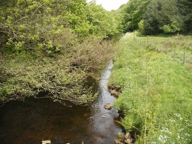
Shaw Carr Wood is a picturesque forest located in Yorkshire, England. Covering an area of approximately 100 acres, it is nestled within the rolling hills and stunning landscapes of the region. The wood is known for its rich biodiversity and is home to a wide variety of plant and animal species.

The woodland is predominantly made up of deciduous trees, including oak, beech, birch, and ash. These trees create a dense canopy, providing a shady and tranquil environment for visitors to explore. The forest floor is covered in a thick layer of leaf litter, creating a soft carpet underfoot.

Shaw Carr Wood is a popular destination for nature lovers, hikers, and wildlife enthusiasts. The forest offers numerous walking trails, allowing visitors to immerse themselves in the natural beauty of the area. The trails wind through the woods, offering glimpses of wildflowers, ferns, and moss-covered rocks along the way.

While exploring the wood, visitors may encounter various wildlife species such as deer, rabbits, foxes, and a variety of bird species. The forest provides a valuable habitat for these creatures, offering shelter and food sources throughout the year.

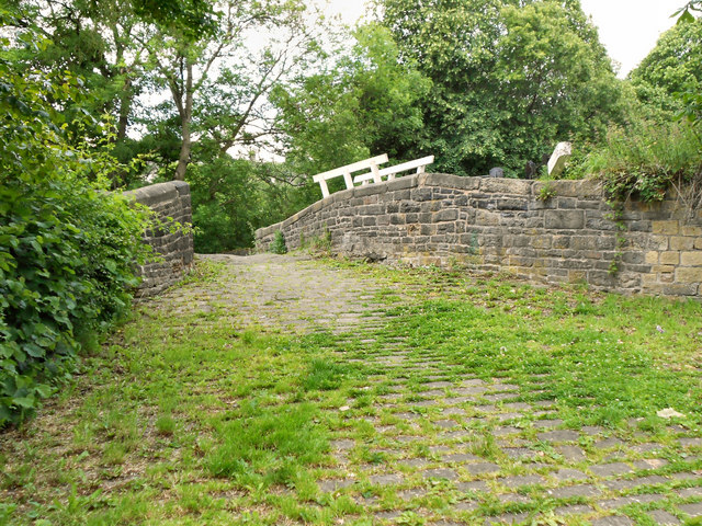
In addition to its natural beauty, Shaw Carr Wood also holds historical significance. The forest has remnants of old stone walls and ruins, hinting at its past use and importance to the local community.

Overall, Shaw Carr Wood is a stunning and biodiverse forest, offering a peaceful escape from the bustling city life. Its scenic beauty, walking trails, and rich wildlife make it a must-visit destination for nature enthusiasts in Yorkshire.

If you have any feedback on the listing, please let us know in the comments section below.

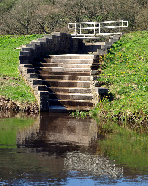
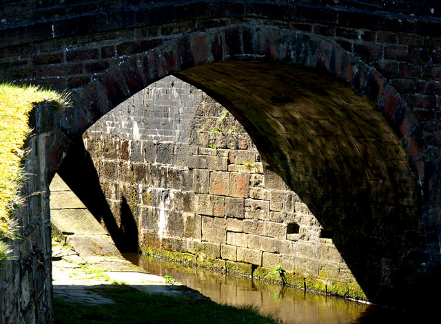
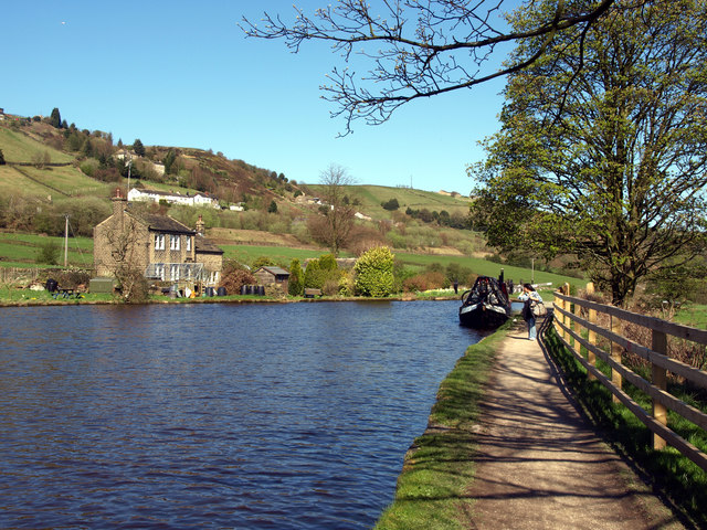
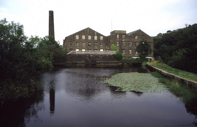
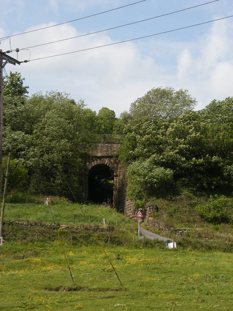
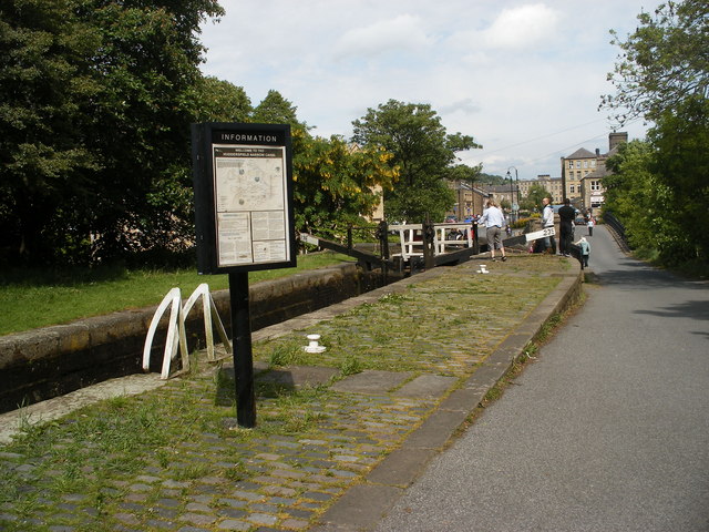
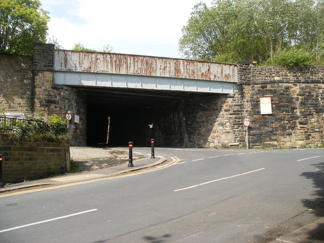
Shaw Carr Wood Images

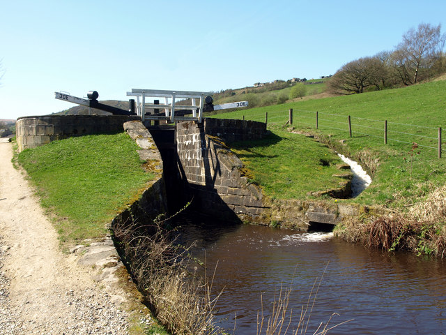
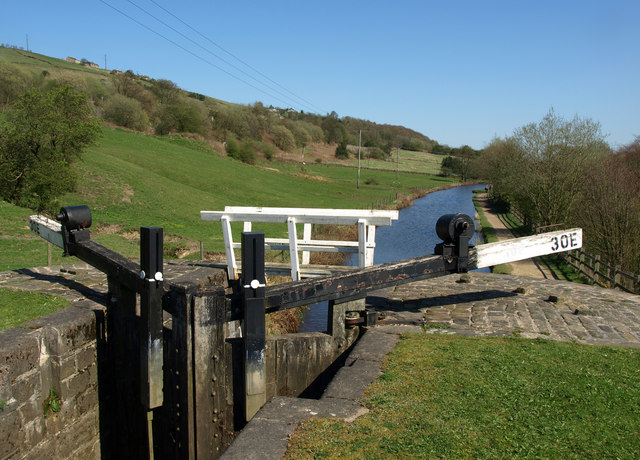
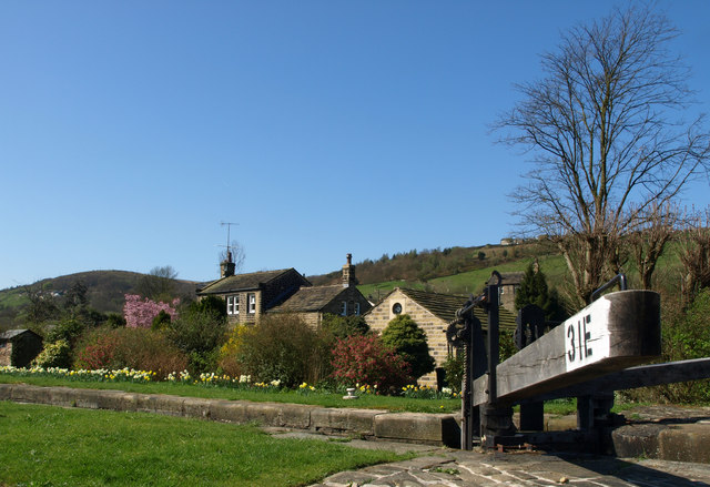
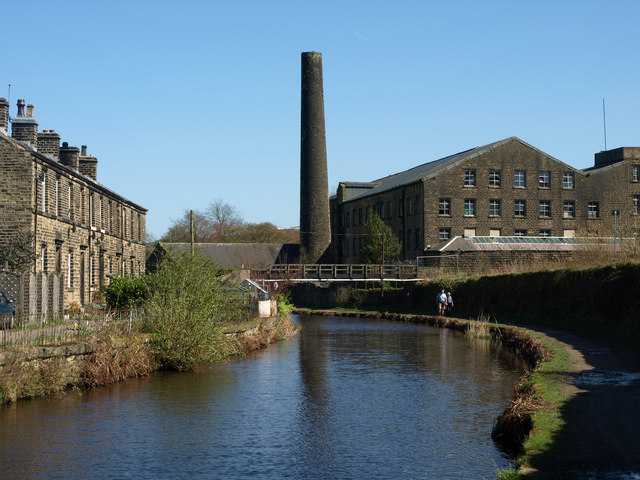
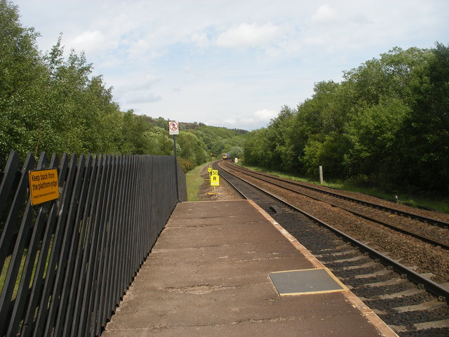
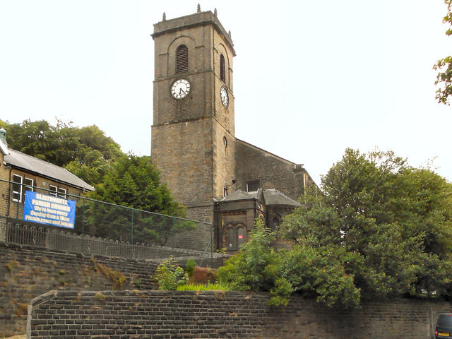
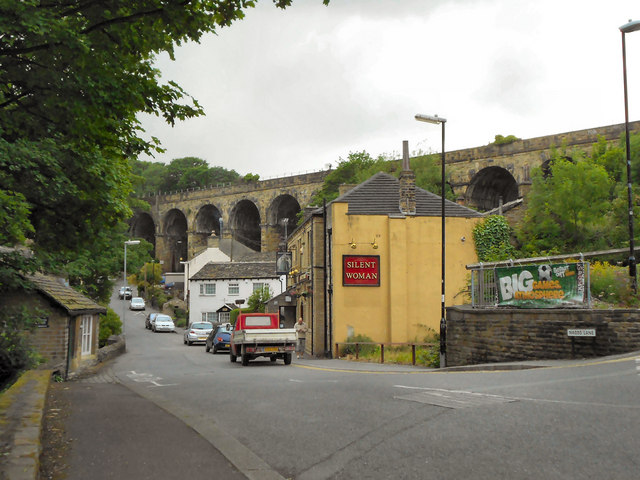
Images are sourced within 2km of 53.618536/-1.893264 or Grid Reference SE0713. Thanks to Geograph Open Source API. All images are credited.

Lock 30E on the Huddersfield Narrow Canal Lovely weather; lovely walk!
Lock 30E on the Huddersfield Narrow Canal
Lovely weather; lovely walk!
The view from north eastwards from Lock 30E
At Lock 31E on the Huddersfield Narrow Canal
Clough Mill and the Huddersfield Narrow Canal
Canal Feeder Steps
Canal Feeder Steps
Underneath the Arch One of many bridges on the Huddersfield Narrow Canal.
Underneath the Arch
One of many bridges on the Huddersfield Narrow Canal.
The Huddersfield Narrow Canal above Lock 31E There is a winding point (boat turning area) at this point - one of few on this stretch of the Huddersfield Narrow Canal.
The Huddersfield Narrow Canal above Lock 31E
There is a winding point (boat turning area) at this point - one of few on this stretch of the Huddersfield Narrow Canal.
Cellars Clough Mill, Marsden Former textile mill, now reported as derelict. The pond would have supplied a water turbine.
Cellars Clough Mill, Marsden
Former textile mill, now reported as derelict. The pond would have supplied a water turbine.
Sparth Reservoir
Sparth Reservoir
Railway bridge near canal
Approaching Lock 23E Slaithwaite
Bridge near Slaithwaite Station
Looking east from Slaithwaite Station
River Colne looking downstream from a footbridge
Church of Saint James, Slaithwaite And Marsden St James' church was built by public subscription in 1796, replacing a 16th century chapel of  ease. It is a Grade II listed building (<span class="nowrap"><a title="http://www.britishlistedbuildings.co.uk/en-408960-church-of-saint-james-slaithwaite-and-ma" rel="nofollow ugc noopener" href="http://www.britishlistedbuildings.co.uk/en-408960-church-of-saint-james-slaithwaite-and-ma">Link</a><img style="margin-left:2px;" alt="External link" title="External link - shift click to open in new window" src="https://s1.geograph.org.uk/img/external.png" width="10" height="10"/></span> - British Listed Buildings)
Church of Saint James, Slaithwaite And Marsden
St James' church was built by public subscription in 1796, replacing a 16th century chapel of ease. It is a Grade II listed building (LinkExternal link - British Listed Buildings)
Silent Woman, Slaithwaite The Silent Woman public house on Nabbs Lane. Behind it is the railway viaduct.
Silent Woman, Slaithwaite
The Silent Woman public house on Nabbs Lane. Behind it is the railway viaduct.
Stone Bridge from Old Bank The stone footbridge over the Huddersfield Narrow Canal at Marsden.
Stone Bridge from Old Bank
The stone footbridge over the Huddersfield Narrow Canal at Marsden.
Huddersfield Narrow Canal, Slaithwaite Restored section of the canal, once filled in at this point. Views of the early stages of the restoration work, in 2000, may be seen at <a href="https://www.geograph.org.uk/photo/3119112">SE0713 : Huddersfield Narrow Canal, restoration works below Lock 23E (1)</a> and <a href="https://www.geograph.org.uk/photo/3119090">SE0713 : Huddersfield Narrow Canal, restoration works below Lock 23E (2)</a>.
Huddersfield Narrow Canal, Slaithwaite
Restored section of the canal, once filled in at this point. Views of the early stages of the restoration work, in 2000, may be seen at SE0713 : Huddersfield Narrow Canal, restoration works below Lock 23E (1) and SE0713 : Huddersfield Narrow Canal, restoration works below Lock 23E (2).
Show me another place!

Shaw Carr Wood is located at Grid Ref: SE0713 (Lat: 53.618536, Lng: -1.893264)

Division: West Riding

Unitary Authority: Kirklees

Police Authority: West Yorkshire

What 3 Words

///outs.easygoing.verve. Near Marsden, West Yorkshire

Related Wikis

Slaithwaite Town Hall

Slaithwaite Town Hall, also known as Empire House is a former municipal building in Lewisham Road in the town of Slaithwaite, West Yorkshire, England....

Slaithwaite railway station

Slaithwaite railway station serves the town of Slaithwaite, West Yorkshire, England. The station is 4 miles (6 km) west of Huddersfield railway station...

Slaithwaite

Slaithwaite (, locally 'Slaithwaite' ; Old Norse for "timber-fell thwaite/clearing") is a town and former civil parish in the Colne Valley area of the...

Wilberlee

Wilberlee is a hamlet in the Colne Valley, in the Kirklees district, in the county of West Yorkshire, England. It is near the town of Huddersfield and...

Nearby Amenities

Located within 500m of 53.618536,-1.893264
Waterway: lock_gate
Lat/Long: 53.6167704/-1.8975481
Seamark Type: gate
Waterway: lock_gate
Lat/Long: 53.6168948/-1.8971912
Seamark Type: gate
Waterway: lock_gate
Lat/Long: 53.620915/-1.8873256
Bus Stop
Slaithwaite, Manchester Road / adjacent Heyroyd Lane
Bus: yes
Local Ref: 45019381
Naptan AtcoCode: 450019381
Naptan Bearing: SW
Naptan CommonName: Manchester Road Heyroyd Lane
Naptan Crossing: Heyroyd Lane
Naptan Indicator: Stop 45019381
Naptan PlusbusZoneRef: LEEDS
Naptan ShortCommonName: Heyroyd Lane
Naptan Street: Manchester Road Slaithwaite
Naptan Verified: no
Network: WY Metro
Operator: WY Metro
Public Transport: platform
Source: naptan_import
Lat/Long: 53.6153911/-1.8968139
Bus Stop
Slaithwaite, Manchester Road / Heyroyd Lane
Bus: yes
Local Ref: 45019382
Naptan AtcoCode: 450019382
Naptan Bearing: NE
Naptan CommonName: Manchester Road Slaithwaite
Naptan Crossing: Heyroyd Lane
Naptan Indicator: Stop 45019382
Naptan PlusbusZoneRef: LEEDS
Naptan ShortCommonName: Heyroyd Lane
Naptan Street: Manchester Road Slaithwaite
Naptan Verified: no
Network: WY Metro
Operator: WY Metro
Public Transport: platform
Source: naptan_import
Lat/Long: 53.6157324/-1.8964956
Bus Stop
Slaithwaite, Manchester Road / Manchester Road Reverser
Bus: yes
Local Ref: 45019383
Naptan AtcoCode: 450019383
Naptan Bearing: SW
Naptan CommonName: Manchester Road New Hey Road
Naptan Crossing: Nr-At Heyroyd Lane
Naptan Indicator: Stop 45019383
Naptan PlusbusZoneRef: LEEDS
Naptan ShortCommonName: Shaw Carr Wood
Naptan Street: Manchester Road Slaithwaite
Naptan Verified: no
Network: WY Metro
Operator: WY Metro
Public Transport: platform
Source: naptan_import
Lat/Long: 53.6165032/-1.8940297
Bus Stop
Slaithwaite, Manchester Road / opposite Manchester Road Reverser
Bus: yes
Local Ref: 45019384
Naptan AtcoCode: 450019384
Naptan Bearing: NE
Naptan CommonName: Manchester Road Slaithwaite
Naptan Crossing: Nr-Opp Heyroyd Lane
Naptan Indicator: Stop 45019384
Naptan PlusbusZoneRef: LEEDS
Naptan ShortCommonName: Shaw Carr Wood
Naptan Street: Manchester Road Slaithwaite
Naptan Verified: no
Network: WY Metro
Operator: WY Metro
Public Transport: platform
Source: naptan_import
Lat/Long: 53.6167637/-1.8938325
Bus Stop
Slaithwaite, Manchester Road / opposite Cemetery
Bus: yes
Local Ref: 45019385
Naptan AtcoCode: 450019385
Naptan Bearing: SW
Naptan CommonName: Manchester Road Cemetery
Naptan Crossing: Nr-At Lingards Road
Naptan Indicator: Stop 45019385
Naptan Landmark: Cemetery
Naptan PlusbusZoneRef: LEEDS
Naptan ShortCommonName: Slaithwaite Cem
Naptan Street: Manchester Road Slaithwaite
Naptan Verified: no
Network: WY Metro
Operator: WY Metro
Public Transport: platform
Source: naptan_import
Lat/Long: 53.618055/-1.8904883
Bus Stop
Slaithwaite, Manchester Road / adjacent Cemetery
Bus: yes
Local Ref: 45019386
Naptan AtcoCode: 450019386
Naptan Bearing: NE
Naptan CommonName: Manchester Road Cemetery
Naptan Crossing: Nr-Opp Lingards Road
Naptan Indicator: Stop 45019386
Naptan Landmark: Cemetery
Naptan PlusbusZoneRef: LEEDS
Naptan ShortCommonName: Slaithwaite Cem
Naptan Street: Manchester Road Slaithwaite
Naptan Verified: no
Network: WY Metro
Operator: WY Metro
Public Transport: platform
Source: naptan_import
Lat/Long: 53.618154/-1.8905939
Bus Stop
Slaithwaite, Manchester Road / adjacent Lingards Road
Bus: yes
Local Ref: 45019387
Naptan AtcoCode: 450019387
Naptan Bearing: SW
Naptan CommonName: Manchester Road Lingards Road
Naptan Crossing: Lingards Road
Naptan Indicator: Stop 45019387
Naptan Landmark: Cemetery
Naptan PlusbusZoneRef: LEEDS
Naptan ShortCommonName: Lingards Road
Naptan Street: Manchester Road Slaithwaite
Naptan Verified: no
Network: WY Metro
Operator: WY Metro
Public Transport: platform
Shelter: no
Source: naptan_import
Lat/Long: 53.6188977/-1.8880824
Bus Stop
Slaithwaite, Manchester Road / opposite Lingards Road
Bench: yes
Bin: yes
Bus: yes
Local Ref: 45019388
Naptan AtcoCode: 450019388
Naptan Bearing: NE
Naptan CommonName: Manchester Road Lingards Road
Naptan Crossing: Lingards Road
Naptan Indicator: Stop 45019388
Naptan Landmark: Cemetery
Naptan PlusbusZoneRef: LEEDS
Naptan ShortCommonName: Lingards Road
Naptan Street: Manchester Road Slaithwaite
Naptan Verified: no
Network: WY Metro
Operator: WY Metro
Public Transport: platform
Shelter: yes
Source: naptan_import
Lat/Long: 53.619418/-1.8869471
Seamark Type: gate
Waterway: lock_gate
Lat/Long: 53.6187807/-1.8921282
Seamark Type: gate
Waterway: lock_gate
Lat/Long: 53.6189073/-1.8918349
Lock Gate Type: guillotine
Waterway: lock_gate
Lat/Long: 53.621045/-1.887024
Tourism: picnic_site
Lat/Long: 53.6204243/-1.8898994
Upper Rotcher
Place: hamlet
Lat/Long: 53.6203986/-1.8915786
Barrier: kissing_gate
Depth: 0.6
Material: wood
Width: 0.9
Lat/Long: 53.6168344/-1.8955585
Barrier: stile
Material: wood
Lat/Long: 53.6167323/-1.8969019
Barrier: stile
Material: wood
Lat/Long: 53.6162924/-1.8867399
Barrier: stile
Material: wood
Lat/Long: 53.6161891/-1.8872539
Entrance: yes
Width: 0.3
Lat/Long: 53.6151485/-1.8897425
Entrance: yes
Width: 0.3
Lat/Long: 53.6151451/-1.8898533
Barrier: stile
Material: wood
Lat/Long: 53.6147154/-1.8907248
Barrier: stile
Material: wood
Lat/Long: 53.6145494/-1.8917742
Barrier: stile
Material: wood
Lat/Long: 53.6153551/-1.8962353
Barrier: turnstile
Material: metal
Lat/Long: 53.6202454/-1.8931462
Barrier: stile
Material: stone
Stile: squeezer
Width: 0.2
Lat/Long: 53.6201213/-1.8940393
Barrier: stile
Stile: stepover
Lat/Long: 53.6184079/-1.9000308
Barrier: kissing_gate
Height: 1.1
Material: wood
Lat/Long: 53.6204127/-1.8899242
Fixme: How does this path cross the wall?
Lat/Long: 53.621192/-1.8975666
Barrier: kissing_gate
Material: wood
Note: 0.4m is the space to squeeze through. Width between posts is 1.0m
Width: 0.4
Lat/Long: 53.619685/-1.8913897
Barrier: stile
Height: 0.5
Material: wood
Stile: stepover
Lat/Long: 53.6191473/-1.8927491
Barrier: kissing_gate
Material: wood
Lat/Long: 53.6190057/-1.8928483
Lower Holme
Place: hamlet
Lat/Long: 53.6225057/-1.896362
Barrier: cattle_grid
Lat/Long: 53.6188813/-1.9003505
Barrier: stile
Material: wood
Stile: stepover
Lat/Long: 53.6201975/-1.8987796
Barrier: stile
Material: wood
Stile: stepover
Lat/Long: 53.6192972/-1.8984029
Barrier: stile
Material: stone
Stile: stepover
Width: 0.3
Lat/Long: 53.6190059/-1.8972612
Barrier: stile
Material: wood
Lat/Long: 53.6146383/-1.8935993
Bench
Lat/Long: 53.6167539/-1.8973547
David L Hall
Addr Housenumber: 26
Craft: window_construction
Note: UPVC doors and windows
Lat/Long: 53.6210644/-1.8872613
HSN Glass
Fixme: This is a business, but I'm not sure yet whether retail or trade, and I don't yet know how to tag this
Lat/Long: 53.6211089/-1.8872532
Barrier: stile
Stile: squeezer
Lat/Long: 53.6175939/-1.8862839
Bench
Material: wood
Note: Covered in wire mesh
Lat/Long: 53.6148221/-1.8949217
Post Box
Collection Times: Mo-Fr 16:00; Sa 10:45
Operator: Royal Mail
Operator Wikidata: Q638098
Post Box Type: wall
Ref: HD7 380
Lat/Long: 53.6225248/-1.8965404
Barrier: stile
Material: wood
Lat/Long: 53.6179732/-1.8857874
Barrier: stile
Material: wood
Stile: stepover
Lat/Long: 53.6173495/-1.8992333
Barrier: stile
Material: stone
Stile: squeezer
Width: 0.3
Lat/Long: 53.6192945/-1.8984091
Orchard
Access: permissive
Fee: no
Garden Type: community
Leisure: garden
Operator: MASTT
Operator Type: community
Lat/Long: 53.6183295/-1.8947595
Power: pole
Lat/Long: 53.6192869/-1.8995879
Power: pole
Lat/Long: 53.6186553/-1.900035
Power: pole
Lat/Long: 53.6180784/-1.9007997
Power: pole
Lat/Long: 53.6199003/-1.8991445
Power: pole
Lat/Long: 53.6204024/-1.8987936
Power: pole
Lat/Long: 53.620494/-1.8976227
Power: pole
Lat/Long: 53.6206127/-1.8953279
Power: pole
Lat/Long: 53.621017/-1.8983969
Power: pole
Lat/Long: 53.6218211/-1.8978223
Power: pole
Lat/Long: 53.6207228/-1.8986055
Power: pole
Lat/Long: 53.6221743/-1.8975851
Power: pole
Lat/Long: 53.6222795/-1.8969098
Man Made: water_well
Lat/Long: 53.6225291/-1.8966683
Power: pole
Lat/Long: 53.6206824/-1.8941413
Power: pole
Lat/Long: 53.6208323/-1.8918739
Power: pole
Lat/Long: 53.6207514/-1.8930979
Power: pole
Lat/Long: 53.6205492/-1.8965555
Power: pole
Lat/Long: 53.6212978/-1.8926829
Power: pole
Lat/Long: 53.621959/-1.8921484
Power: pole
Lat/Long: 53.6225229/-1.8922798
Barrier: bollard
Bollard: foldable
Bollard Count: 1
Lat/Long: 53.6217657/-1.8896043
Waste Basket
Note: The bin is marked for general waste too
Waste: dog_excrement
Lat/Long: 53.6200032/-1.8905704
Waste Basket
Lat/Long: 53.6204177/-1.8899462
Leisure: picnic_table
Material: metal
Lat/Long: 53.6200477/-1.8905117
Bench
Backrest: yes
Direction: N
Material: wood
Lat/Long: 53.6156372/-1.8920591
Barrier: stile
Material: wood
Lat/Long: 53.6156637/-1.8920856
Parking
Lat/Long: 53.6172079/-1.8933083
Bench
Backrest: yes
Direction: NW
Lat/Long: 53.6185189/-1.890264
Bench
Backrest: yes
Direction: NW
Material: metal
Lat/Long: 53.6182429/-1.8909486
Bench
Backrest: yes
Direction: NW
Material: wood
Lat/Long: 53.6181164/-1.8910593
Entrance: yes
Lat/Long: 53.6204709/-1.8865938
DC21
Addr City: Slaithwaite
Addr Street: Canal Side
Service Wind Turbine: yes
Shop: trade
Lat/Long: 53.6206818/-1.8869716
Gutsibits
Addr City: Slaithwaite
Addr Street: Canal Side
Motorcycle Parts: yes
Shop: motorcycle
Lat/Long: 53.6208799/-1.8868764
Entrance: yes
Lat/Long: 53.6206669/-1.8870466
Entrance: service
Lat/Long: 53.6207979/-1.8871352
Entrance: yes
Lat/Long: 53.6208975/-1.8868883
Entrance: yes
Lat/Long: 53.6209079/-1.8868446
Velofondista
Addr City: Slaithwaite
Addr Street: Canal Side
Service Bicycle Repair: yes
Shop: bicycle
Lat/Long: 53.620887/-1.8868241
Cafe
Takeaway: yes
Lat/Long: 53.6216517/-1.8898598
Barrier: bollard
Bollard Count: 1
Material: wood
Lat/Long: 53.619127/-1.8966034
Leisure: picnic_table
Material: metal
Lat/Long: 53.6196198/-1.8912068
Leisure: picnic_table
Material: metal
Lat/Long: 53.6198521/-1.8909024
Barrier: kissing_gate
Material: wood
Width: 0.8
Lat/Long: 53.6164322/-1.8946605
Colour: white
Colour Text: black
Height: 1.0
Historic: milestone
Inscription: Oldham 12½ miles Huddersfield 5 miles
Lat/Long: 53.6190358/-1.887696
Crossing
Lat/Long: 53.6190831/-1.8877226
Barrier: stile
Material: wood
Lat/Long: 53.6168587/-1.8955775
Bench
Backrest: yes
Direction: SW
Material: wood
Lat/Long: 53.6170412/-1.8935281
Barrier: swing_gate
Height: 1.3
Material: metal
Lat/Long: 53.620854/-1.8873746
Barrier: bollard
Bollard Count: 1
Colour: black;white
Height: 1.2
Material: metal
Lat/Long: 53.6208283/-1.8873443
The data included in this document is from www.openstreetmap.org. The data is made available under ODbL.

Have you been to Shaw Carr Wood?

Leave your review of Shaw Carr Wood below (or comments, questions and feedback).