Soil Hill Reservoir

Lake, Pool, Pond, Freshwater Marsh in Yorkshire

England

Soil Hill Reservoir

Ruins of Royd Hall, Denholme One of the abandoned farms in this desolate area, their fields overgrown by rushes.
Ruins of Royd Hall, Denholme Credit: Humphrey Bolton

Soil Hill Reservoir is a freshwater reservoir located in the county of Yorkshire, England. It is situated near the village of Soil Hill, hence its name. The reservoir is a man-made body of water that serves multiple purposes, including water supply and recreation.

Covering an area of approximately 20 acres, Soil Hill Reservoir is surrounded by picturesque landscapes, offering visitors a tranquil and scenic environment. The reservoir is fed by rainfall and natural springs, ensuring a constant supply of freshwater.

The reservoir serves as an important water source for the local community, providing a reliable supply for domestic and agricultural needs. It also supports wildlife and acts as a habitat for various species of fish, birds, and plants. The presence of aquatic vegetation and reeds around the edges of the reservoir contributes to its ecological value.

The reservoir is a popular spot for outdoor activities such as fishing, boating, and birdwatching. Anglers can find a variety of fish species, including trout, perch, and roach, making it an ideal location for fishing enthusiasts. The tranquil surroundings and abundant birdlife make it an attractive destination for birdwatchers, who can spot species like herons, ducks, and swans.

Overall, Soil Hill Reservoir provides a peaceful retreat for both nature enthusiasts and locals, offering a scenic environment, recreational opportunities, and an important water source for the surrounding area.

If you have any feedback on the listing, please let us know in the comments section below.

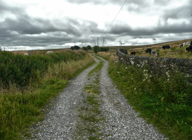
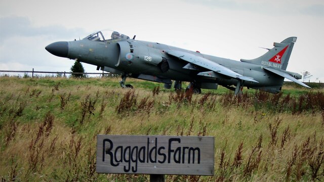
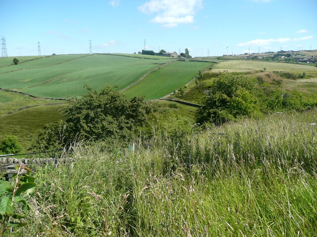
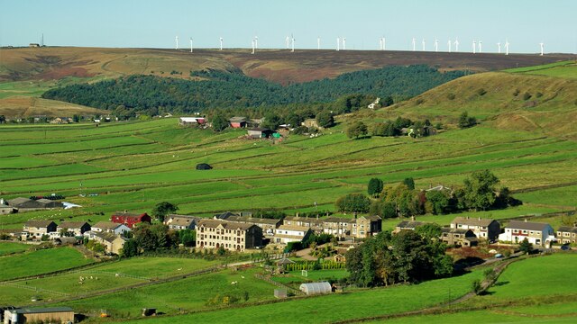
Soil Hill Reservoir Images

Images are sourced within 2km of 53.776054/-1.8848692 or Grid Reference SE0731. Thanks to Geograph Open Source API. All images are credited.

Ruins of Royd Hall, Denholme One of the abandoned farms in this desolate area, their fields overgrown by rushes.
Ruins of Royd Hall, Denholme
One of the abandoned farms in this desolate area, their fields overgrown by rushes.
The two branches of Foreside Bottom Lane, Denholme The branch to the left has a surface of loose grit and is a public footpath, whilsy the branch to the right is covered in grass and is a public beirdleway.
The two branches of Foreside Bottom Lane, Denholme
The branch to the left has a surface of loose grit and is a public footpath, whilsy the branch to the right is covered in grass and is a public beirdleway.
Foreside Bottom Lane, Denholme This is a bridleway that comes to a halt after Allotments Farm. However there is a good bridleway to the left, passing the ruins of Royd Hall, to the Back Lane bridleway.
Foreside Bottom Lane, Denholme
This is a bridleway that comes to a halt after Allotments Farm. However there is a good bridleway to the left, passing the ruins of Royd Hall, to the Back Lane bridleway.
Stile on footpath at Foreside Bottom Lane, Denholme
Bridges across Hebble Brook to the Golf Club House Assortment of bridges for golfers and groundsmen
Bridges across Hebble Brook to the Golf Club House
Assortment of bridges for golfers and groundsmen
Bridge over Hebble Brook off Union Lane A substantial stone bridge for a little used track
Bridge over Hebble Brook off Union Lane
A substantial stone bridge for a little used track
Sea Harrier at Raggalds Farm Unusual item to collect and put in the farming landscape
Sea Harrier at Raggalds Farm
Unusual item to collect and put in the farming landscape
Soil Hill Mast View from footpath near Mount Zion Church Upper Brockholes
Soil Hill Mast
View from footpath near Mount Zion Church Upper Brockholes
The Promenade Ogden Water The road on top of the dam of the reservoir shortly after it was made over as 'Victorian'
The Promenade Ogden Water
The road on top of the dam of the reservoir shortly after it was made over as 'Victorian'
Stile on Denholme Footpath 62 The path can be seen as a dark line across the field.
Stile on Denholme Footpath 62
The path can be seen as a dark line across the field.
A narrow part of Denholme Footpath 62 The farmer was not very generous when he erected the fence.
A narrow part of Denholme Footpath 62
The farmer was not very generous when he erected the fence.
Denholme Footpath 62 on the driveway to Wood View A gentle descent into the valley of Denholme Beck.
Denholme Footpath 62 on the driveway to Wood View
A gentle descent into the valley of Denholme Beck.
View from Brighouse Road, Denholme This is at the top of Footpath 60 as it drops down steeply into the valley. It does not look very inviting.
View from Brighouse Road, Denholme
This is at the top of Footpath 60 as it drops down steeply into the valley. It does not look very inviting.
Denholme Footpaths 60 and 62 Footpath 60 goes down the valley to the left; Footpath 62 follows the wall to the right.
Denholme Footpaths 60 and 62
Footpath 60 goes down the valley to the left; Footpath 62 follows the wall to the right.
Denholme Footpath 60 crossing Denholme Beck The flow in the stream was very low, so there were plenty of stepping stones.
Denholme Footpath 60 crossing Denholme Beck
The flow in the stream was very low, so there were plenty of stepping stones.
Denholme Footpath 60 and a quarry spoil heap The pile of stones on the hillside is the spoil from a small quarry to the left.
Denholme Footpath 60 and a quarry spoil heap
The pile of stones on the hillside is the spoil from a small quarry to the left.
Delves Farm Awaiting restoration this substantial barn and small house?
Delves Farm
Awaiting restoration this substantial barn and small house?
Bradshaw Village A linear village along Bradshaw Lane. Ovenden Moor wind farm is on the skyline beyond
Bradshaw Village
A linear village along Bradshaw Lane. Ovenden Moor wind farm is on the skyline beyond
Show me another place!

Soil Hill Reservoir is located at Grid Ref: SE0731 (Lat: 53.776054, Lng: -1.8848692)

Division: West Riding

Unitary Authority: Calderdale

Police Authority: West Yorkshire

What 3 Words

///blockage.thumbnail.angry. Near Queensbury, West Yorkshire

Related Wikis

Ogden, West Yorkshire

Ogden in West Yorkshire, England, is a small hamlet 5.0 miles (8 km) north of Halifax. The hamlet falls within the Calderdale Ward of Illingworth and Mixenden...

Bradshaw, Calderdale

Bradshaw is a village within the Metropolitan Borough of Calderdale, in West Yorkshire, England. == Buildings == The parish church is dedicated to St John...

Thornton railway station

Thornton railway station was a station on the Keighley-Queensbury section of the Queensbury Lines which ran between Keighley, Bradford and Halifax via...

Holdsworth, West Yorkshire

Holdsworth is an area of Halifax in West Yorkshire, England, 2.5 miles (4 km) north of the town centre. It was historically a village in the township...

Denholme Clough Fault

The Denholme Clough Fault is a small fault located in Denholme, England. The fault is approximately 500 metres (1,600 ft) long. The fault has produced...

St Catherine's Catholic High School

St Catherine's Catholic High School was a Catholic comprehensive secondary school in Halifax, West Yorkshire, England. The school was named after Catherine...

Mixenden

Mixenden is a village in Calderdale, on the outskirts of Halifax in the county of West Yorkshire, England. The name Mixenden derives from the Anglo Saxon...

North Halifax Grammar School

The North Halifax Grammar School (NHGS) is a state grammar school, and former specialist Science college (with academy status) in Illingworth, Halifax...

Nearby Amenities

Located within 500m of 53.776054,-1.8848692
Soil Hill
Is In Country Code: GB
Is In County: West Yorkshire
Is In Municipality: Calderdale
Man Made: survey_point
Natural: peak
Source: OS 1:25k
Lat/Long: 53.7775993/-1.8847413
Man Made: tower
Source: Bing
Tower Type: communication
Lat/Long: 53.7772106/-1.884724
Soil Hill
Place: locality
Source: OS HISTORIC MAPS
Lat/Long: 53.7762109/-1.887074
Soil Henge
Access: private
Historic: ruins
Historic Civilization: medieval
Note: Unusual medieval dew pond with standing stones. Clearly visible from right of way next to field.
Ruins: yes
Lat/Long: 53.777805/-1.8858139
Generator Method: wind_turbine
Generator Source: wind
Power: generator
Lat/Long: 53.7742401/-1.8840443
Generator Method: wind_turbine
Generator Source: wind
Power: generator
Lat/Long: 53.7735241/-1.8841418
Generator Method: wind_turbine
Generator Source: wind
Power: generator
Lat/Long: 53.7795336/-1.8816246
Generator Method: wind_turbine
Generator Source: wind
Power: generator
Lat/Long: 53.7785764/-1.8826963
Generator Method: wind_turbine
Generator Source: wind
Power: generator
Lat/Long: 53.7793036/-1.8808033
The data included in this document is from www.openstreetmap.org. The data is made available under ODbL.

Have you been to Soil Hill Reservoir?

Leave your review of Soil Hill Reservoir below (or comments, questions and feedback).