Sugden Reservoir

Lake, Pool, Pond, Freshwater Marsh in Yorkshire

England

Sugden Reservoir

Main Street
Main Street Credit: Alex McGregor

Sugden Reservoir, located in Yorkshire, England, is a man-made freshwater lake that serves as a reliable water source for the surrounding region. Covering an area of approximately 30 hectares, the reservoir plays a crucial role in maintaining the water supply for nearby towns and villages. It was constructed in the late 19th century and has since become an important part of the local landscape.

Surrounded by lush greenery and rolling hills, Sugden Reservoir offers a picturesque setting for visitors to enjoy a range of recreational activities. The calm and serene waters provide an ideal environment for fishing enthusiasts, with a variety of species such as perch, pike, and roach inhabiting the reservoir. Anglers can be seen casting their lines from the banks, hoping to catch a prized fish.

The reservoir also attracts birdwatchers and nature lovers, as it is home to a diverse range of bird species. Common sightings include herons, swans, ducks, and geese, which can be observed in their natural habitats around the water's edge. The abundance of wildlife in and around the reservoir makes it a haven for nature enthusiasts.

Furthermore, the reservoir acts as a freshwater marsh, providing a nurturing environment for various plant species. The marshland surrounding the waterbody is teeming with reeds, rushes, and water lilies, creating a vibrant and ecologically rich ecosystem.

Overall, Sugden Reservoir is not only a vital water source for the region but also a popular destination for those seeking tranquility and a connection to nature. Whether it be fishing, birdwatching, or simply enjoying the beauty of the landscape, this man-made freshwater lake offers a unique experience for visitors and locals alike.

If you have any feedback on the listing, please let us know in the comments section below.

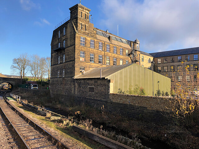
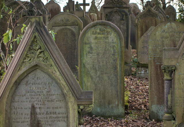
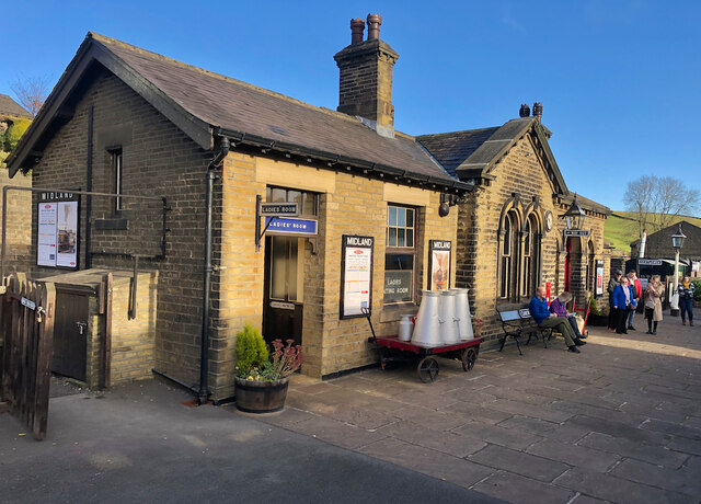
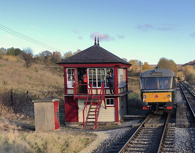
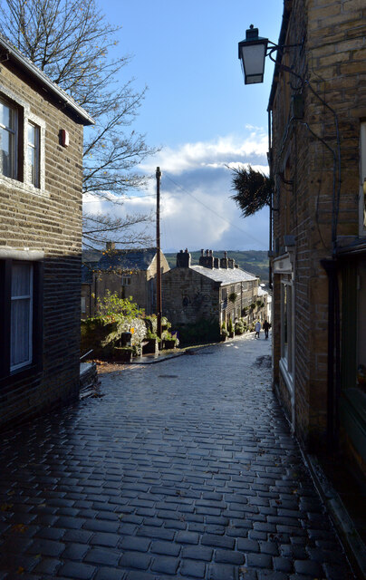
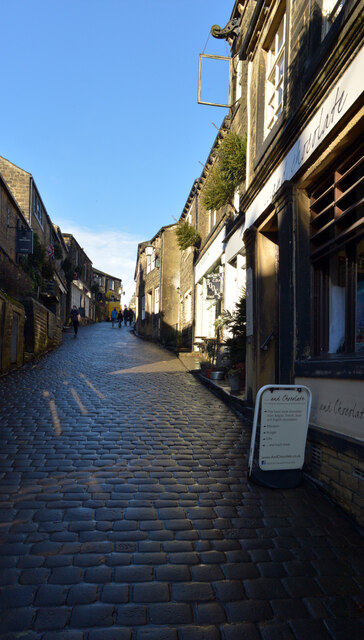
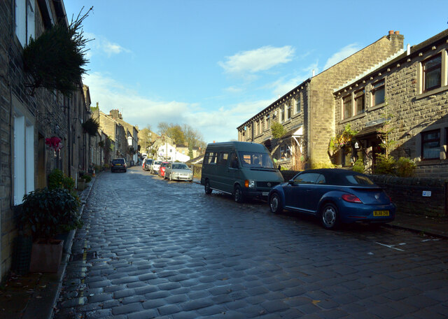
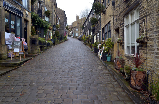
Sugden Reservoir Images

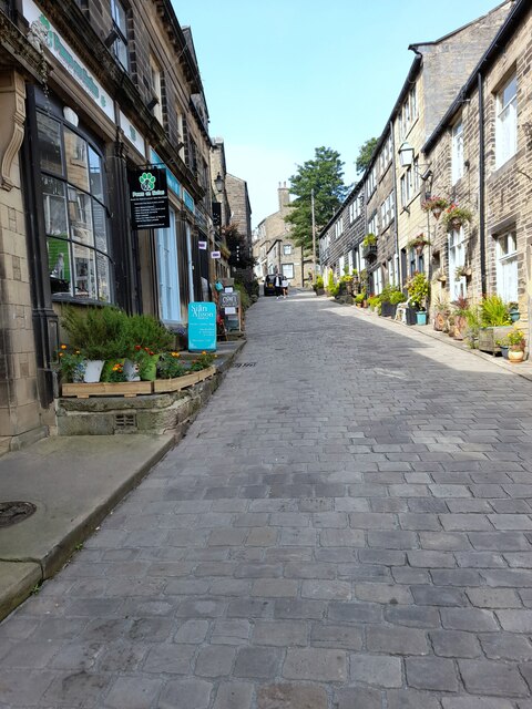
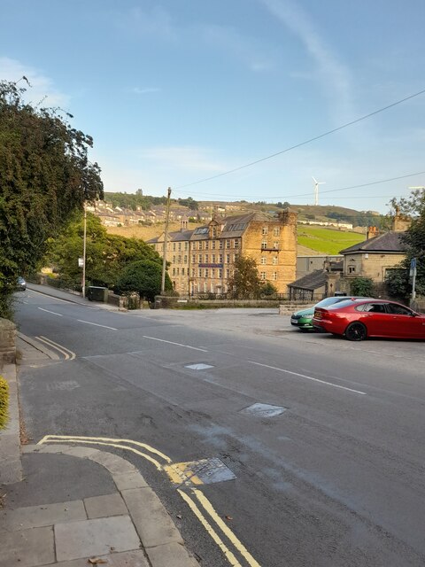
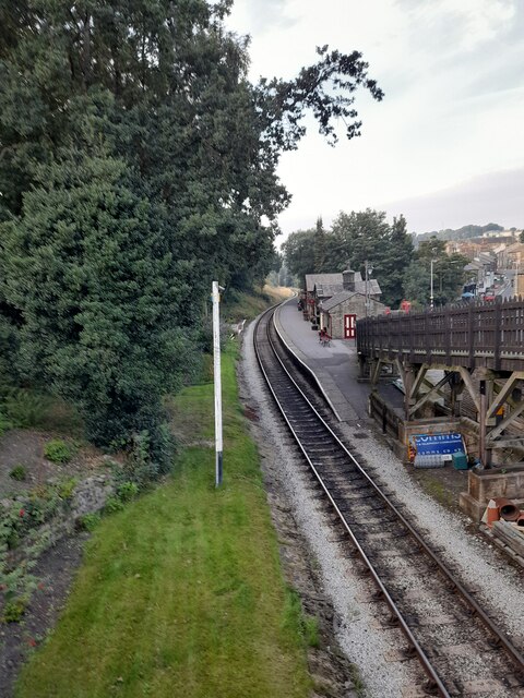
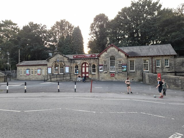
Images are sourced within 2km of 53.8317/-1.9346899 or Grid Reference SE0437. Thanks to Geograph Open Source API. All images are credited.

Main Street
Main Street
Bridgehouse Lane
Bridgehouse Lane
Haworth Station
Haworth Station
Haworth Station
Haworth Station
The Old Sun
The Old Sun
Black Moor Road
Black Moor Road
Early days on the Keighley and Worth Valley Railway A view at Haworth station yard just a couple of weeks after the line re-opened as a heritage railway.

In the centre, Hughes 'Crab' 2-6-0 27000 is seen in initial stages of restoration. It was the first of its class to be built and has since been transferred to the National Collection at the National Railway Museum in York <a title="https://www.geograph.org.uk/photo/5642385" href="https://www.geograph.org.uk/photo/5642385">Link</a>
Early days on the Keighley and Worth Valley Railway
A view at Haworth station yard just a couple of weeks after the line re-opened as a heritage railway. In the centre, Hughes 'Crab' 2-6-0 27000 is seen in initial stages of restoration. It was the first of its class to be built and has since been transferred to the National Collection at the National Railway Museum in York Link
42700 at Haworth, 1968 It has lost its BR livery, compare with <a href="https://www.geograph.org.uk/photo/6997694">SE0337 : Early days on the Keighley and Worth Valley Railway</a> a few weeks earlier. This is believed to have been a BR 'copyright' condition at the time for their stock sold on.
42700 at Haworth, 1968
It has lost its BR livery, compare with SE0337 : Early days on the Keighley and Worth Valley Railway a few weeks earlier. This is believed to have been a BR 'copyright' condition at the time for their stock sold on.
Main Street, Haworth The centre of the village, whose numerous independent shops and eateries along this steep cobbled street, are as much a tourist draw as its ostensible main attraction: the Parsonage, home of the Brontë sisters, which is tucked away at the end of a side street.
Main Street, Haworth
The centre of the village, whose numerous independent shops and eateries along this steep cobbled street, are as much a tourist draw as its ostensible main attraction: the Parsonage, home of the Brontë sisters, which is tucked away at the end of a side street.
Bridgehouse Mills, Haworth Seen from a train on the adjacent Worth Valley railway, the part of the mill closest to the railway is occupied by military clothing specialists Wyedean <span class="nowrap"><a title="https://www.wyedean.com/" rel="nofollow ugc noopener" href="https://www.wyedean.com/">Link</a><img style="margin-left:2px;" alt="External link" title="External link - shift click to open in new window" src="https://s1.geograph.org.uk/img/external.png" width="10" height="10"/></span> . The rest of the site has been converted for housing.
Bridgehouse Mills, Haworth
Seen from a train on the adjacent Worth Valley railway, the part of the mill closest to the railway is occupied by military clothing specialists Wyedean LinkExternal link . The rest of the site has been converted for housing.
Haworth graveyard A few of the tightly-packed graves, all of which face east, in the graveyard immediately to the south of the Brontë Parsonage Museum.
Haworth graveyard
A few of the tightly-packed graves, all of which face east, in the graveyard immediately to the south of the Brontë Parsonage Museum.
Oakworth Station Passengers await a train to Keighley on the Worth Valley Railway, the station of course famed for its appearances in the film The Railway Children
Oakworth Station
Passengers await a train to Keighley on the Worth Valley Railway, the station of course famed for its appearances in the film The Railway Children
Keighley & Worth Valley Railway, Damems The passing loop and signal box south-west of Damems station. The preserved heritage railway's Waggon & Maschinenbau diesel railbus, No. M79964, waits for the steam-hauled service to pass in the opposite direction.
Keighley & Worth Valley Railway, Damems
The passing loop and signal box south-west of Damems station. The preserved heritage railway's Waggon & Maschinenbau diesel railbus, No. M79964, waits for the steam-hauled service to pass in the opposite direction.
Main Street, Haworth
Croft Street, Haworth
Show me another place!

Sugden Reservoir is located at Grid Ref: SE0437 (Lat: 53.8317, Lng: -1.9346899)

Division: West Riding

Unitary Authority: Bradford

Police Authority: West Yorkshire

What 3 Words

///upsetting.awake.inhaled. Near Haworth, West Yorkshire

Related Wikis

Cross Roads, West Yorkshire

Cross Roads or Cross Roads with Lees or Cross Roads cum Lees is a village and civil parish within the City of Bradford Metropolitan District, West Yorkshire...

Haworth, Cross Roads and Stanbury

Haworth, Cross Roads and Stanbury is a former civil parish that covered the far western hinterland of the City of Bradford in West Yorkshire, England....

Lees Moor Tunnel

Lees Moor Tunnel is an abandoned tunnel on the former Great Northern Railway line between Queensbury and Keighley in West Yorkshire, England. The former...

Haworth railway station

Haworth railway station serves the village of Haworth in West Yorkshire, England. == History == It was opened in 1867 along with the rest of the Keighley...

Nearby Amenities

Located within 500m of 53.8317,-1.9346899
Mini Roundabout
Direction: clockwise
Lat/Long: 53.835282/-1.9320024
Bus Stop
Haworth Road Annie Street
Local Ref: 45019929
Naptan AtcoCode: 450019929
Naptan Bearing: E
Naptan CommonName: Haworth Road Annie Street
Naptan Crossing: Annie Street
Naptan Indicator: Stop 45019929
Naptan Landmark: Public Toilets
Naptan PlusbusZoneRef: LEEDS
Naptan ShortCommonName: Annie Street
Naptan Street: Haworth Road
Naptan Verified: no
Source: naptan_import
Lat/Long: 53.8353235/-1.9330721
Bus Stop
Haworth Road East Terrace
Local Ref: 45019930
Naptan AtcoCode: 450019930
Naptan Bearing: W
Naptan CommonName: Haworth Road East Terrace
Naptan Crossing: East Terrace
Naptan Indicator: Stop 45019930
Naptan PlusbusZoneRef: LEEDS
Naptan ShortCommonName: East Terrace
Naptan Street: Haworth Road
Naptan Verified: no
Shelter: no
Source: naptan_import
Lat/Long: 53.8351746/-1.9372723
Bus Stop
Haworth Road Vale Mill Lane
Local Ref: 45019931
Naptan AtcoCode: 450019931
Naptan Bearing: E
Naptan CommonName: Haworth Road Vale Mill Lane
Naptan Crossing: Vale Mill Lane
Naptan Indicator: Stop 45019931
Naptan PlusbusZoneRef: LEEDS
Naptan ShortCommonName: Vale Mill Lane
Naptan Street: Haworth Road
Naptan Verified: no
Shelter: yes
Source: naptan_import
Lat/Long: 53.8352647/-1.9376217
Bus Stop
Hebden Road Cross Roads
Local Ref: 45019973
Naptan AtcoCode: 450019973
Naptan Bearing: NE
Naptan CommonName: Hebden Road Cross Roads
Naptan Indicator: Stop 45019973
Naptan PlusbusZoneRef: LEEDS
Naptan ShortCommonName: Hebden Road
Naptan Street: Hebden Road
Naptan Verified: no
Source: naptan_import
Lat/Long: 53.8331543/-1.9412412
Haworth Road Vale Mill Lane
Local Ref: 45024538
Naptan AtcoCode: 450024538
Naptan Bearing: E
Naptan BusStopType: CUS
Naptan CommonName: Haworth Road Vale Mill Lane
Naptan Crossing: Vale Mill Lane
Naptan Indicator: Stop 45024538
Naptan PlusbusZoneRef: LEEDS
Naptan ShortCommonName: Vale Mill Lane
Naptan Street: Haworth Road
Naptan Verified: no
Source: naptan_import
Lat/Long: 53.8351931/-1.9382448
Bus Stop
Haworth Road Cecil Street
Local Ref: 45024775
Naptan AtcoCode: 450024775
Naptan Bearing: W
Naptan CommonName: Haworth Road Cecil Street
Naptan Crossing: Cecil Street
Naptan Indicator: Stop 45024775
Naptan Landmark: Cross Roads Park
Naptan Notes: OSR taken place 130705 size 1 case fitted
Naptan PlusbusZoneRef: LEEDS
Naptan ShortCommonName: Cecil Street
Naptan Street: Haworth Road
Naptan Verified: no
Source: naptan_import
Lat/Long: 53.8352173/-1.9330479
Bus Stop
Hebden Road Cross Roads
Local Ref: 45050882
Naptan AtcoCode: 450050882
Naptan Bearing: SW
Naptan BusStopType: CUS
Naptan CommonName: Hebden Road Cross Roads
Naptan Indicator: Stop 45050882
Naptan PlusbusZoneRef: LEEDS
Naptan ShortCommonName: Haworth Road
Naptan Street: Hebden Road
Naptan Verified: no
Source: naptan_import
Lat/Long: 53.8330913/-1.9411653
Fast Food
Cross Roads Chip Shop
Addr City: Keighley
Addr Housenumber: 50
Addr Postcode: BD22 9DL
Addr Street: Haworth Road
Addr Village: Cross Roads
Fhrs Id: 326859
Lat/Long: 53.8352825/-1.9351662
Restaurant
Bengal Spice
Lat/Long: 53.8351238/-1.9329461
Pub
Bronte Hotel
Addr City: Keighley
Addr Country: GB
Addr Hamlet: Haworth
Addr Postcode: BD22 8RA
Addr Street: Lees Lane
Fhrs Id: 326956
Source Addr: FHRS Open Data
Lat/Long: 53.8344654/-1.9404026
Post Box
Ref: BD22 16
Source: survey
Lat/Long: 53.8351506/-1.9385243
Crossing
Crossing: zebra
Tactile Paving: yes
Lat/Long: 53.8352777/-1.9365809
Barrier: bollard
Lat/Long: 53.835034/-1.9391989
Barrier: bollard
Lat/Long: 53.8349948/-1.9391386
Barrier: bollard
Lat/Long: 53.8349992/-1.939333
Barrier: bollard
Lat/Long: 53.8349604/-1.939266
Crossing
Crossing: unmarked
Lat/Long: 53.834964/-1.9393403
Kerb: lowered
Tactile Paving: yes
Lat/Long: 53.834945/-1.939384
Crossing
Crossing: unmarked
Lat/Long: 53.8349987/-1.9392614
Kerb: lowered
Tactile Paving: yes
Lat/Long: 53.8351373/-1.9389971
Crossing
Crossing: unmarked
Lat/Long: 53.8351025/-1.938991
Barrier: bollard
Lat/Long: 53.8350592/-1.938965
Waste Basket
Lat/Long: 53.835314/-1.9352392
Note: outlet unknown
Lat/Long: 53.831558/-1.9298963
Parking
Parking: surface
Lat/Long: 53.8349554/-1.932394
Kerb: lowered
Tactile Paving: yes
Lat/Long: 53.8350651/-1.9389845
Kerb: yes
Tactile Paving: no
Lat/Long: 53.835048/-1.9389665
Kerb: lowered
Tactile Paving: yes
Lat/Long: 53.8350144/-1.9392243
Generator Method: photovoltaic
Generator Output Electricity: yes
Generator Source: solar
Generator Type: solar_photovoltaic_panel
Power: generator
Lat/Long: 53.8347224/-1.9332214
Rest Area
Lat/Long: 53.8340114/-1.9309668
Generator Method: photovoltaic
Generator Output Electricity: yes
Generator Source: solar
Generator Type: solar_photovoltaic_panel
Power: generator
Lat/Long: 53.8349287/-1.9305975
Parking
Lat/Long: 53.8349261/-1.9329371
Generator Method: photovoltaic
Generator Output Electricity: yes
Generator Source: solar
Generator Type: solar_photovoltaic_panel
Power: generator
Lat/Long: 53.8359936/-1.9359414
Generator Method: photovoltaic
Generator Output Electricity: yes
Generator Source: solar
Generator Type: solar_photovoltaic_panel
Power: generator
Lat/Long: 53.8341869/-1.9400489
Cross Roads
Alt Name: Cross Roads with Lees
Place: village
Wikidata: Q5188406
Wikipedia: en:Cross Roads, West Yorkshire
Lat/Long: 53.835128/-1.9323133
The data included in this document is from www.openstreetmap.org. The data is made available under ODbL.

Have you been to Sugden Reservoir?

Leave your review of Sugden Reservoir below (or comments, questions and feedback).