Lane End

Settlement in Yorkshire

England

Lane End

Main Street
Main Street Credit: Alex McGregor

Lane End is a small village located in the county of Yorkshire, England. Situated in the heart of the picturesque countryside, it is nestled between rolling hills and meandering streams, offering residents and visitors a tranquil retreat from the bustling city life. The village is part of the larger parish of Hambledon, which is known for its rich history and natural beauty.

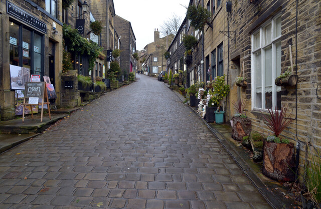
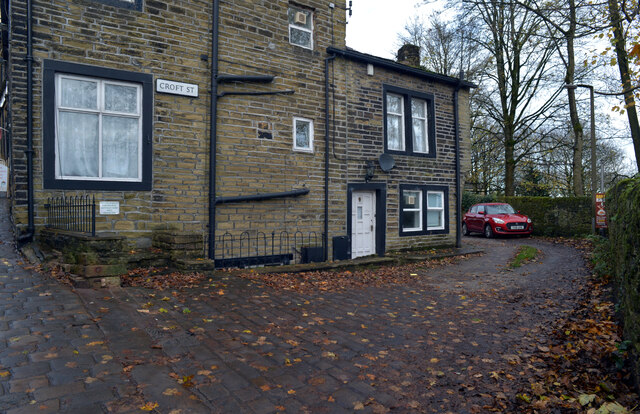
Lane End is characterized by its charming stone cottages, which date back to the 18th century, and its well-preserved architecture that reflects the region's traditional style. The village is home to a close-knit community, with a population of around 500 residents. The locals take pride in their heritage and actively participate in community events and initiatives.

Despite its small size, Lane End boasts a range of amenities to cater to its residents. These include a village hall, a primary school, a local pub, and a post office. The surrounding countryside offers ample opportunities for outdoor activities, such as hiking, cycling, and horse riding. The village is also within close proximity to several nature reserves and parks, providing further recreational options.

Lane End benefits from good transportation links, with nearby road networks connecting it to larger towns and cities in Yorkshire. The village is known for its idyllic setting, making it a popular destination for tourists seeking a peaceful and scenic getaway. Visitors can explore the quaint streets, enjoy the local cuisine, or simply relax in the countryside while soaking in the beauty of Lane End and its surroundings.

If you have any feedback on the listing, please let us know in the comments section below.
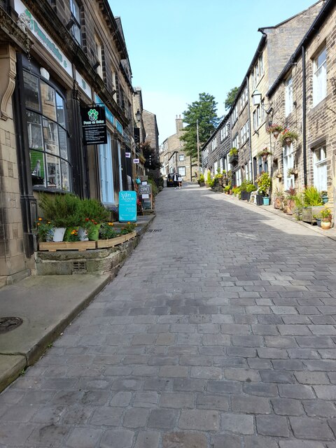
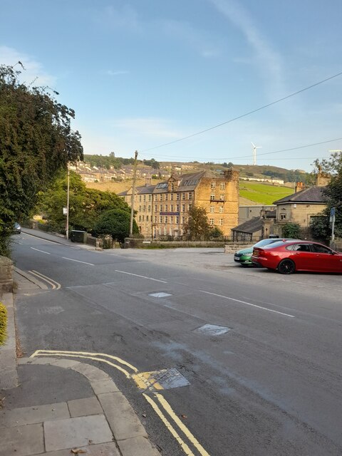
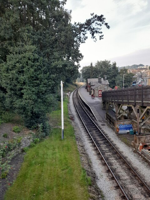
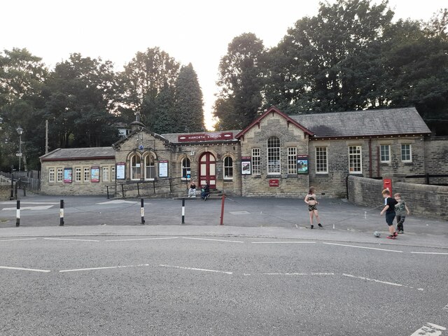
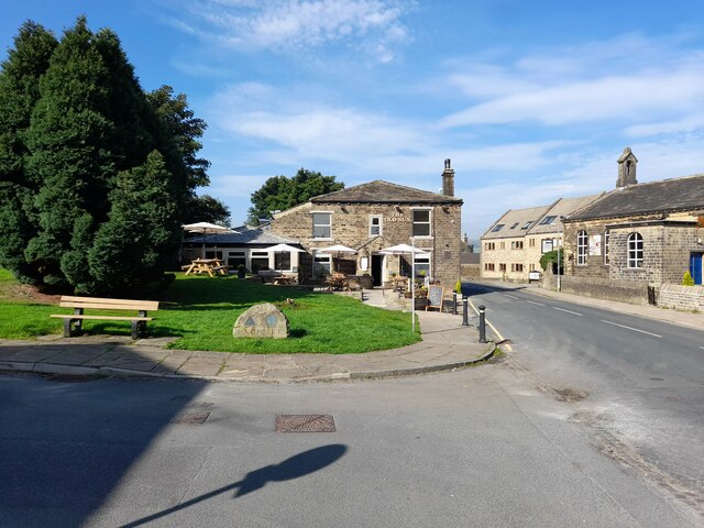
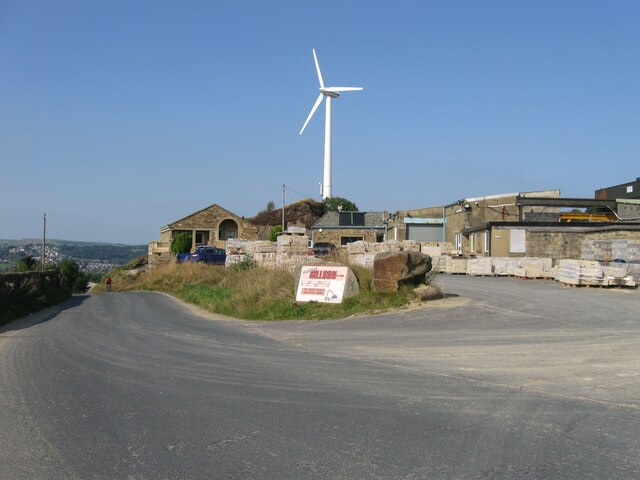
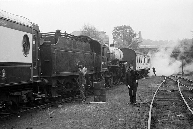
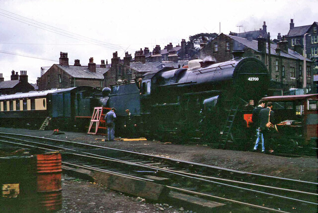
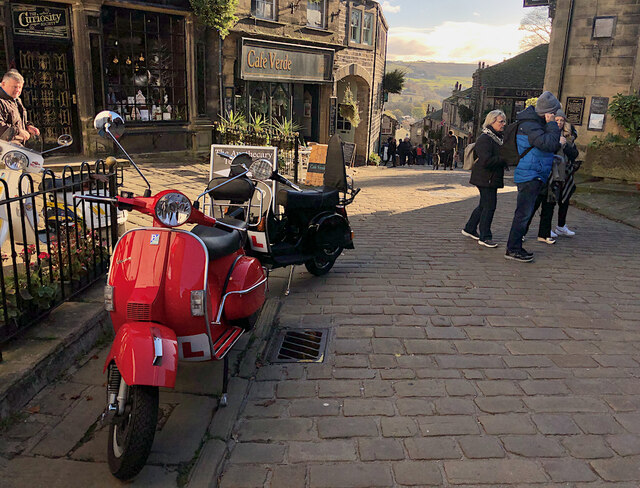
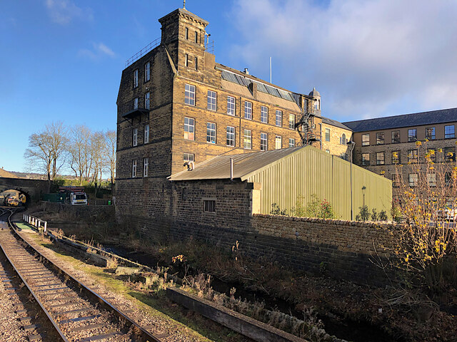
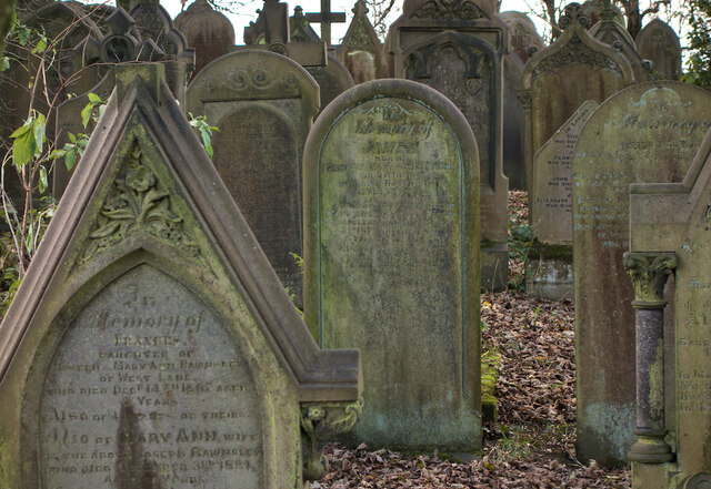
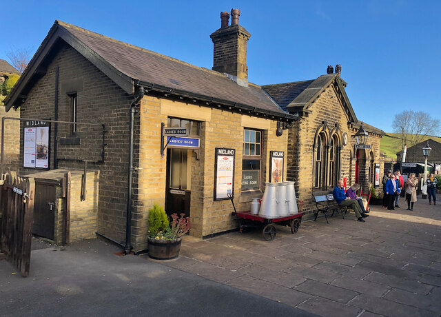
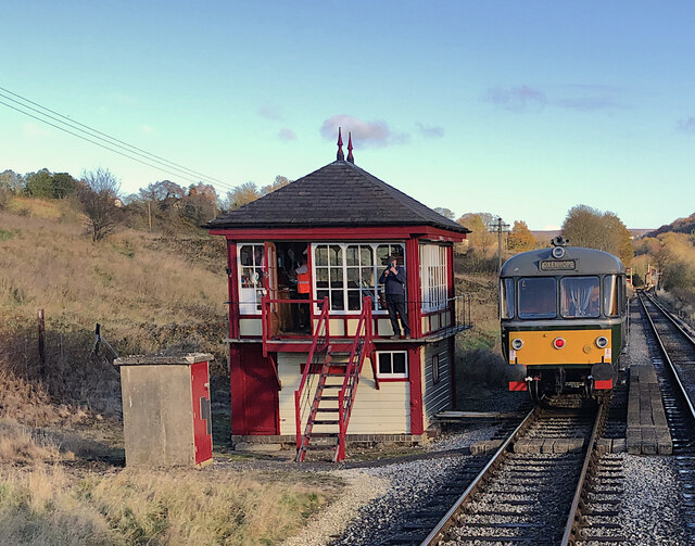
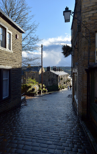
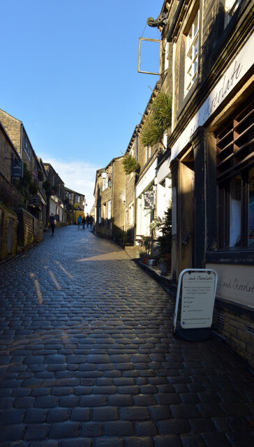
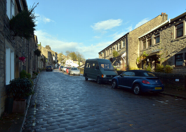
Lane End Images

Images are sourced within 2km of 53.834358/-1.9309783 or Grid Reference SE0437. Thanks to Geograph Open Source API. All images are credited.

Main Street
Main Street
Bridgehouse Lane
Bridgehouse Lane
Haworth Station
Haworth Station
Haworth Station
Haworth Station
The Old Sun
The Old Sun
Black Moor Road
Black Moor Road
Early days on the Keighley and Worth Valley Railway A view at Haworth station yard just a couple of weeks after the line re-opened as a heritage railway.

In the centre, Hughes 'Crab' 2-6-0 27000 is seen in initial stages of restoration. It was the first of its class to be built and has since been transferred to the National Collection at the National Railway Museum in York <a title="https://www.geograph.org.uk/photo/5642385" href="https://www.geograph.org.uk/photo/5642385">Link</a>
Early days on the Keighley and Worth Valley Railway
A view at Haworth station yard just a couple of weeks after the line re-opened as a heritage railway. In the centre, Hughes 'Crab' 2-6-0 27000 is seen in initial stages of restoration. It was the first of its class to be built and has since been transferred to the National Collection at the National Railway Museum in York Link
42700 at Haworth, 1968 It has lost its BR livery, compare with <a href="https://www.geograph.org.uk/photo/6997694">SE0337 : Early days on the Keighley and Worth Valley Railway</a> a few weeks earlier. This is believed to have been a BR 'copyright' condition at the time for their stock sold on.
42700 at Haworth, 1968
It has lost its BR livery, compare with SE0337 : Early days on the Keighley and Worth Valley Railway a few weeks earlier. This is believed to have been a BR 'copyright' condition at the time for their stock sold on.
Main Street, Haworth The centre of the village, whose numerous independent shops and eateries along this steep cobbled street, are as much a tourist draw as its ostensible main attraction: the Parsonage, home of the Brontë sisters, which is tucked away at the end of a side street.
Main Street, Haworth
The centre of the village, whose numerous independent shops and eateries along this steep cobbled street, are as much a tourist draw as its ostensible main attraction: the Parsonage, home of the Brontë sisters, which is tucked away at the end of a side street.
Bridgehouse Mills, Haworth Seen from a train on the adjacent Worth Valley railway, the part of the mill closest to the railway is occupied by military clothing specialists Wyedean <span class="nowrap"><a title="https://www.wyedean.com/" rel="nofollow ugc noopener" href="https://www.wyedean.com/">Link</a><img style="margin-left:2px;" alt="External link" title="External link - shift click to open in new window" src="https://s1.geograph.org.uk/img/external.png" width="10" height="10"/></span> . The rest of the site has been converted for housing.
Bridgehouse Mills, Haworth
Seen from a train on the adjacent Worth Valley railway, the part of the mill closest to the railway is occupied by military clothing specialists Wyedean LinkExternal link . The rest of the site has been converted for housing.
Haworth graveyard A few of the tightly-packed graves, all of which face east, in the graveyard immediately to the south of the Brontë Parsonage Museum.
Haworth graveyard
A few of the tightly-packed graves, all of which face east, in the graveyard immediately to the south of the Brontë Parsonage Museum.
Oakworth Station Passengers await a train to Keighley on the Worth Valley Railway, the station of course famed for its appearances in the film The Railway Children
Oakworth Station
Passengers await a train to Keighley on the Worth Valley Railway, the station of course famed for its appearances in the film The Railway Children
Keighley & Worth Valley Railway, Damems The passing loop and signal box south-west of Damems station. The preserved heritage railway's Waggon & Maschinenbau diesel railbus, No. M79964, waits for the steam-hauled service to pass in the opposite direction.
Keighley & Worth Valley Railway, Damems
The passing loop and signal box south-west of Damems station. The preserved heritage railway's Waggon & Maschinenbau diesel railbus, No. M79964, waits for the steam-hauled service to pass in the opposite direction.
Main Street, Haworth
Croft Street, Haworth
Show me another place!

Lane End is located at Grid Ref: SE0437 (Lat: 53.834358, Lng: -1.9309783)

Division: West Riding

Unitary Authority: Bradford

Police Authority: West Yorkshire

What 3 Words

///notes.gravel.necks. Near Haworth, West Yorkshire

Related Wikis

Cross Roads, West Yorkshire

Cross Roads or Cross Roads with Lees or Cross Roads cum Lees is a village and civil parish within the City of Bradford Metropolitan District, West Yorkshire...

Lees Moor Tunnel

Lees Moor Tunnel is an abandoned tunnel on the former Great Northern Railway line between Queensbury and Keighley in West Yorkshire, England. The former...

Bogthorn

Bogthorn is a hamlet which forms part of Keighley in the City of Bradford, West Yorkshire, England. It lies between Exley Head and Oakworth on Keighley...

Haworth, Cross Roads and Stanbury

Haworth, Cross Roads and Stanbury is a former civil parish that covered the far western hinterland of the City of Bradford in West Yorkshire, England....

Nearby Amenities

Located within 500m of 53.834358,-1.9309783
Mini Roundabout
Direction: clockwise
Lat/Long: 53.835282/-1.9320024
Bus Stop
Halifax Road / Vernon Street
Local Ref: 45019925
Naptan AtcoCode: 450019925
Naptan Bearing: SW
Naptan CommonName: Halifax Road Vernon Street
Naptan Crossing: Vernon Street
Naptan Indicator: Stop 45019925
Naptan Landmark: New Inn
Naptan PlusbusZoneRef: LEEDS
Naptan ShortCommonName: Vernon Street
Naptan Street: Halifax Road
Naptan Verified: no
Shelter: no
Source: naptan_import
Timetable: yes
Towards: Cullingworth, Denholme, Hebden Bridge, Oakworth, Oxenhope, Stanbury
Lat/Long: 53.8375883/-1.9297161
Bus Stop
Halifax Road Back Myrtle Terrace
Local Ref: 45019926
Naptan AtcoCode: 450019926
Naptan Bearing: NE
Naptan CommonName: Halifax Road Back Myrtle Terrace
Naptan Crossing: Vernon Street
Naptan Indicator: Stop 45019926
Naptan Landmark: New Inn
Naptan PlusbusZoneRef: LEEDS
Naptan ShortCommonName: New Inn PH
Naptan Street: Halifax Road
Naptan Verified: no
Shelter: no
Source: naptan_import
Lat/Long: 53.8380433/-1.9294502
Bus Stop
Halifax Road / Cross Roads
Local Ref: 45019927
Naptan AtcoCode: 450019927
Naptan Bearing: SW
Naptan CommonName: Halifax Road Bingley Road
Naptan Crossing: Haworth Road
Naptan Indicator: Stop 45019927
Naptan PlusbusZoneRef: LEEDS
Naptan ShortCommonName: Cross Roads
Naptan Street: Halifax Road
Note: merged
Shelter: no
Source: naptan_import; survey
Towards: Cullingworth, Denholme, Haworth
Lat/Long: 53.8358006/-1.931421
Bus Stop
Halifax Road Cross / Roads Park
Local Ref: 45019928
Naptan AtcoCode: 450019928
Naptan Bearing: NW
Naptan CommonName: Halifax Road Cross Roads Park
Naptan Crossing: Bancroft Street
Naptan Indicator: Stop 45019928
Naptan Landmark: Post Office
Naptan Notes: OSR taken place 110705 size 1 case fitted
Naptan PlusbusZoneRef: LEEDS
Naptan ShortCommonName: Cross Roads
Naptan Street: Halifax Road
Naptan Verified: no
Shelter: no
Source: naptan_import
Timetable: yes
Towards: Keighley
Lat/Long: 53.8361571/-1.9313141
Bus Stop
Haworth Road Annie Street
Local Ref: 45019929
Naptan AtcoCode: 450019929
Naptan Bearing: E
Naptan CommonName: Haworth Road Annie Street
Naptan Crossing: Annie Street
Naptan Indicator: Stop 45019929
Naptan Landmark: Public Toilets
Naptan PlusbusZoneRef: LEEDS
Naptan ShortCommonName: Annie Street
Naptan Street: Haworth Road
Naptan Verified: no
Source: naptan_import
Lat/Long: 53.8353235/-1.9330721
Bus Stop
Haworth Road East Terrace
Local Ref: 45019930
Naptan AtcoCode: 450019930
Naptan Bearing: W
Naptan CommonName: Haworth Road East Terrace
Naptan Crossing: East Terrace
Naptan Indicator: Stop 45019930
Naptan PlusbusZoneRef: LEEDS
Naptan ShortCommonName: East Terrace
Naptan Street: Haworth Road
Naptan Verified: no
Shelter: no
Source: naptan_import
Lat/Long: 53.8351746/-1.9372723
Bus Stop
Haworth Road Vale Mill Lane
Local Ref: 45019931
Naptan AtcoCode: 450019931
Naptan Bearing: E
Naptan CommonName: Haworth Road Vale Mill Lane
Naptan Crossing: Vale Mill Lane
Naptan Indicator: Stop 45019931
Naptan PlusbusZoneRef: LEEDS
Naptan ShortCommonName: Vale Mill Lane
Naptan Street: Haworth Road
Naptan Verified: no
Shelter: yes
Source: naptan_import
Lat/Long: 53.8352647/-1.9376217
Haworth Road Vale Mill Lane
Local Ref: 45024538
Naptan AtcoCode: 450024538
Naptan Bearing: E
Naptan BusStopType: CUS
Naptan CommonName: Haworth Road Vale Mill Lane
Naptan Crossing: Vale Mill Lane
Naptan Indicator: Stop 45024538
Naptan PlusbusZoneRef: LEEDS
Naptan ShortCommonName: Vale Mill Lane
Naptan Street: Haworth Road
Naptan Verified: no
Source: naptan_import
Lat/Long: 53.8351931/-1.9382448
Bus Stop
Haworth Road Cecil Street
Local Ref: 45024775
Naptan AtcoCode: 450024775
Naptan Bearing: W
Naptan CommonName: Haworth Road Cecil Street
Naptan Crossing: Cecil Street
Naptan Indicator: Stop 45024775
Naptan Landmark: Cross Roads Park
Naptan Notes: OSR taken place 130705 size 1 case fitted
Naptan PlusbusZoneRef: LEEDS
Naptan ShortCommonName: Cecil Street
Naptan Street: Haworth Road
Naptan Verified: no
Source: naptan_import
Lat/Long: 53.8352173/-1.9330479
Fast Food
Cross Roads Chip Shop
Addr City: Keighley
Addr Housenumber: 50
Addr Postcode: BD22 9DL
Addr Street: Haworth Road
Addr Village: Cross Roads
Fhrs Id: 326859
Lat/Long: 53.8352825/-1.9351662
Restaurant
Bengal Spice
Lat/Long: 53.8351238/-1.9329461
Bocking
Place: hamlet
Lat/Long: 53.838148/-1.9296729
Traffic Calming: choker
Lat/Long: 53.8356721/-1.927743
Post Box
Ref: BD22 115
Source: survey
Lat/Long: 53.8363037/-1.9311608
Crossing
Crossing: zebra
Tactile Paving: yes
Lat/Long: 53.8352777/-1.9365809
Shop: car
Lat/Long: 53.8354941/-1.9277634
Lees
Place: hamlet
Lat/Long: 53.8361716/-1.9368066
Waste Basket
Lat/Long: 53.835314/-1.9352392
Speed Camera
Maxspeed: 30 mph
Lat/Long: 53.8376868/-1.9297056
Speed Camera
Maxspeed: 30 mph
Lat/Long: 53.8383019/-1.9291053
Note: outlet unknown
Lat/Long: 53.831558/-1.9298963
Parking
Parking: surface
Lat/Long: 53.8349554/-1.932394
Post Office
Cross Roads Post Office
Addr City: Keighley
Addr Housenumber: 117
Addr Postcode: BD22 9AP
Addr Street: Halifax Road
Brand: Post Office
Brand Wikidata: Q1783168
Brand Wikipedia: en:Post Office Ltd
Contact Website: https://www.postoffice.co.uk/branch-finder/3823067/cross-roads
Opening Hours: Mo-Th 08:00-17:30; Fr 07:00-17:30; Sa 08:30-12:30
Operator: Post Office
Lat/Long: 53.8379905/-1.92962
Generator Method: photovoltaic
Generator Output Electricity: yes
Generator Source: solar
Generator Type: solar_photovoltaic_panel
Power: generator
Lat/Long: 53.8347224/-1.9332214
Rest Area
Lat/Long: 53.8340114/-1.9309668
Generator Method: photovoltaic
Generator Output Electricity: yes
Generator Source: solar
Generator Type: solar_photovoltaic_panel
Power: generator
Lat/Long: 53.8349287/-1.9305975
Generator Method: photovoltaic
Generator Output Electricity: yes
Generator Source: solar
Generator Type: solar_photovoltaic_panel
Power: generator
Lat/Long: 53.8351368/-1.9275842
Parking
Lat/Long: 53.8349261/-1.9329371
Generator Method: photovoltaic
Generator Output Electricity: yes
Generator Source: solar
Generator Type: solar_photovoltaic_panel
Power: generator
Lat/Long: 53.8359936/-1.9359414
Cross Roads
Alt Name: Cross Roads with Lees
Place: village
Wikidata: Q5188406
Wikipedia: en:Cross Roads, West Yorkshire
Lat/Long: 53.835128/-1.9323133
The data included in this document is from www.openstreetmap.org. The data is made available under ODbL.

Have you been to Lane End?

Leave your review of Lane End below (or comments, questions and feedback).