Barcroft
Settlement in Yorkshire
England
Barcroft
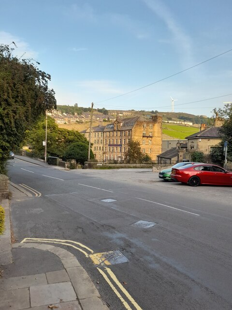
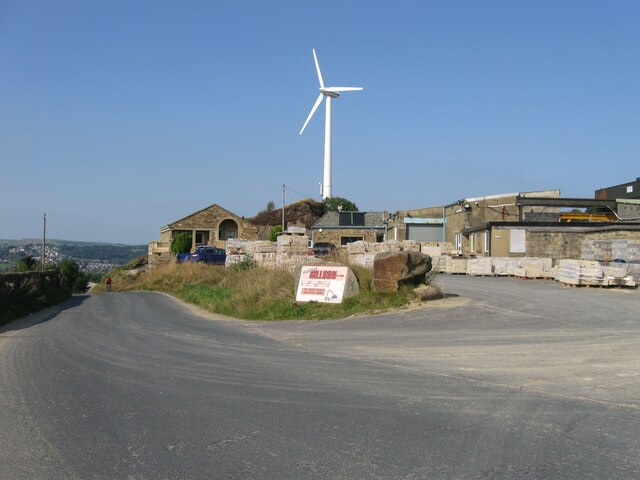
Barcroft is a small village located in the county of Yorkshire, in the northern part of England. Situated amidst the picturesque countryside, it is known for its tranquil and serene environment. The village is nestled between rolling hills and lush green fields, offering breathtaking views of the surrounding landscape.
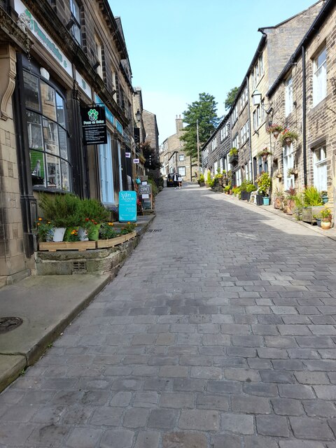
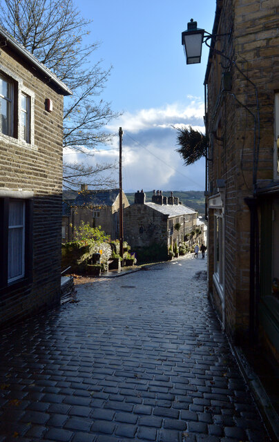
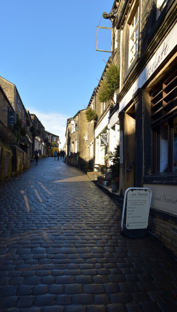
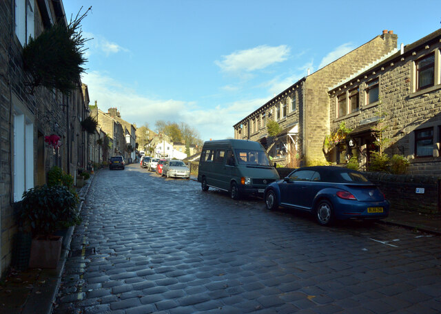
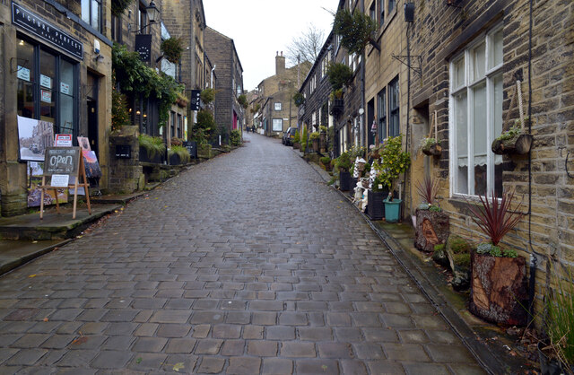
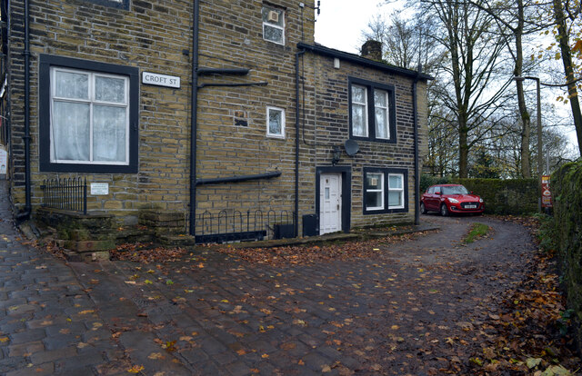
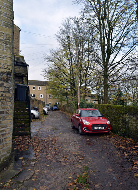
With a population of just over 300 residents, Barcroft retains its quaint charm and close-knit community feel. The village is characterized by its traditional stone-built houses, some of which date back several centuries, adding to its historical appeal. The architecture reflects the rural heritage of the area and gives visitors a glimpse into the village's past.
Barcroft boasts a rich history, with evidence of human settlement dating back to ancient times. The village is home to several historical landmarks, including a medieval church that stands as a reminder of its religious heritage. The church features stunning stained glass windows and intricate stonework, providing a glimpse into the village's past.
The village offers limited amenities, with a cozy local pub and a small convenience store catering to the needs of its residents. Despite this, Barcroft attracts visitors who seek a peaceful retreat from the hustle and bustle of city life. The surrounding countryside provides ample opportunities for outdoor activities such as hiking, cycling, and birdwatching.
Overall, Barcroft is a hidden gem in the Yorkshire countryside, offering a glimpse into the region's rural heritage and providing a peaceful haven for both residents and visitors alike.
If you have any feedback on the listing, please let us know in the comments section below.
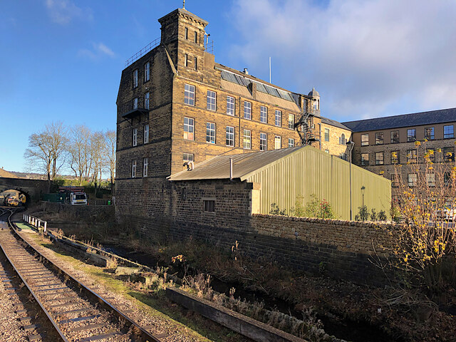
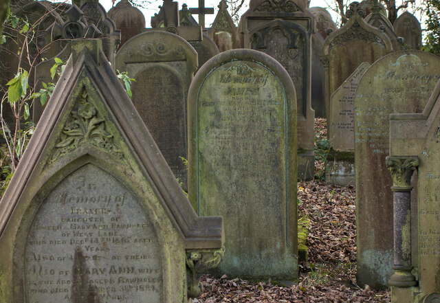
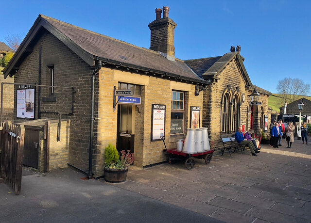
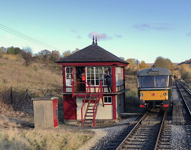
Barcroft Images
Images are sourced within 2km of 53.835335/-1.928593 or Grid Reference SE0437. Thanks to Geograph Open Source API. All images are credited.
Barcroft is located at Grid Ref: SE0437 (Lat: 53.835335, Lng: -1.928593)
Division: West Riding
Unitary Authority: Bradford
Police Authority: West Yorkshire
What 3 Words
///branded.lion.latest. Near Haworth, West Yorkshire
Nearby Locations
Related Wikis

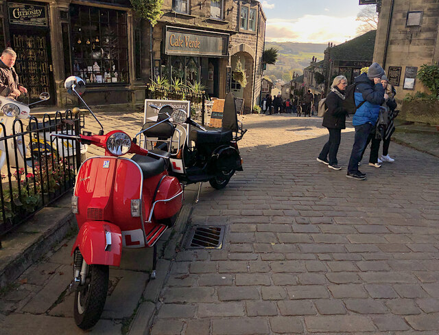
Cross Roads, West Yorkshire
Cross Roads or Cross Roads with Lees or Cross Roads cum Lees is a village and civil parish within the City of Bradford Metropolitan District, West Yorkshire...

Lees Moor Tunnel
Lees Moor Tunnel is an abandoned tunnel on the former Great Northern Railway line between Queensbury and Keighley in West Yorkshire, England. The former...

Bogthorn
Bogthorn is a hamlet which forms part of Keighley in the City of Bradford, West Yorkshire, England. It lies between Exley Head and Oakworth on Keighley...

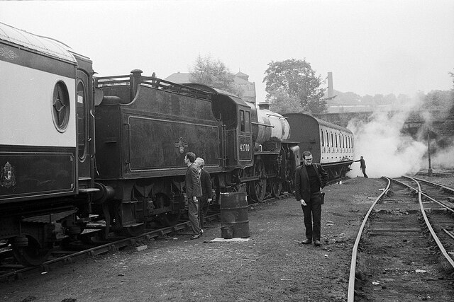
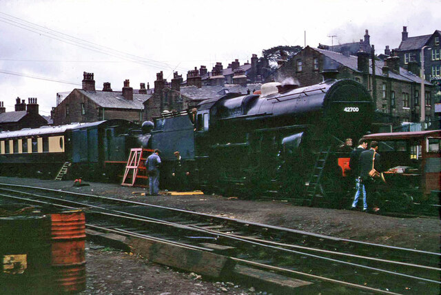
Oakworth railway station
Oakworth railway station serves the village of Oakworth, near Keighley, and within the City of Bradford Metropolitan District, West Yorkshire, England...
Nearby Amenities
Located within 500m of 53.835335,-1.928593Have you been to Barcroft?
Leave your review of Barcroft below (or comments, questions and feedback).