Lees
Settlement in Yorkshire
England
Lees
Lees is a small village located in the county of Yorkshire, England. Situated on the outskirts of the bustling town of Oldham, Lees offers a tranquil and picturesque setting, surrounded by rolling hills and green fields. The village is part of the larger Metropolitan Borough of Oldham and falls within the Greater Manchester area.
With a population of around 6,000 residents, Lees maintains a close-knit community atmosphere. The village boasts a range of amenities, including shops, pubs, and local businesses, which cater to the needs of its residents. Lees is also home to a primary school, providing education for the younger members of the community.
Historically, Lees has strong ties to the textile industry, which thrived in the area during the 19th and 20th centuries. Many of the village's beautiful old buildings and mills are remnants of this industrial heritage and add to the charm of the area.
Nature enthusiasts will find plenty to enjoy in Lees, as it is surrounded by stunning countryside. The village is located near Saddleworth Moor, offering opportunities for hiking, walking, and exploring the natural beauty of the region.
Lees benefits from excellent transport links, with nearby access to major roads and motorways, making it easily accessible for commuters and visitors. The village is served by regular bus services, connecting it to neighboring towns and cities.
Overall, Lees offers a peaceful and idyllic setting, combining the charm of a rural village with the convenience of nearby urban areas.
If you have any feedback on the listing, please let us know in the comments section below.
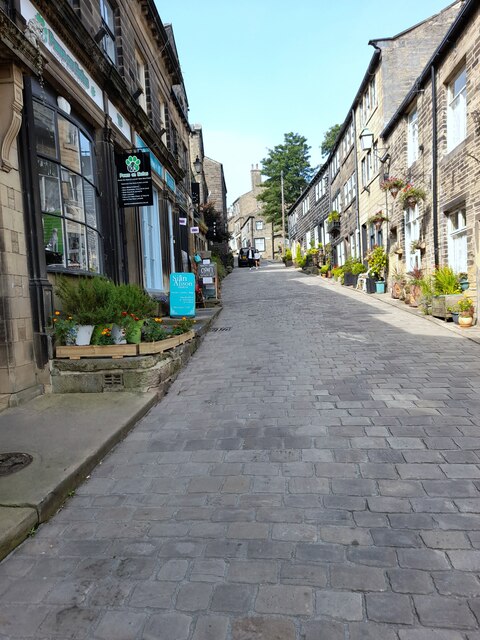
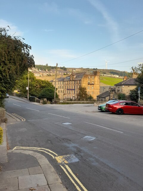
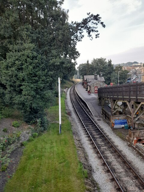
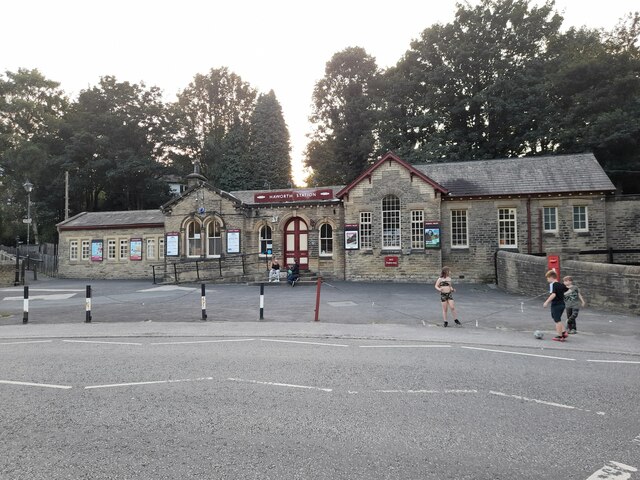
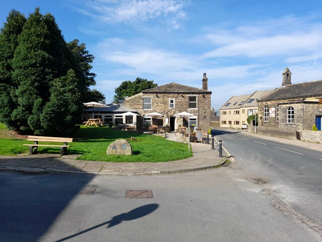
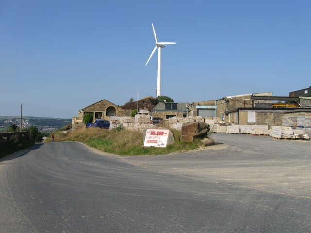
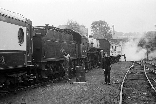
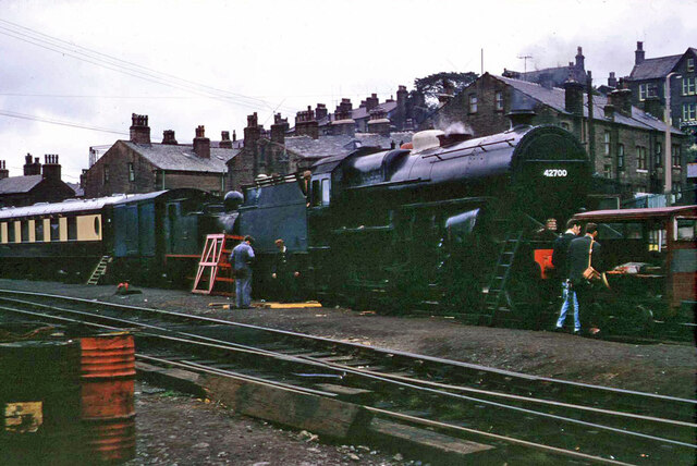
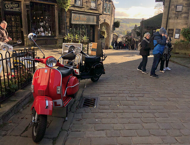
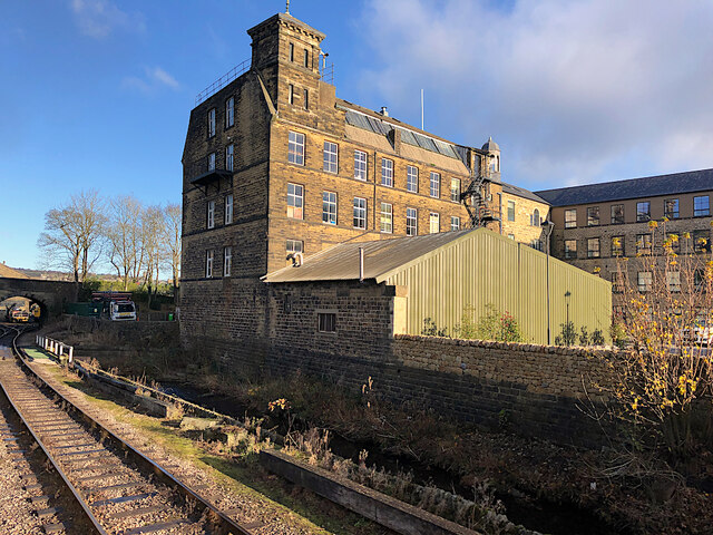
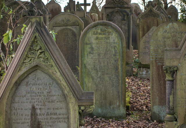
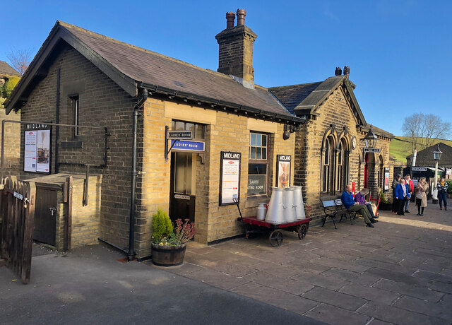
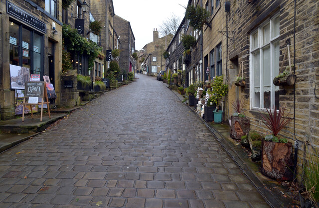
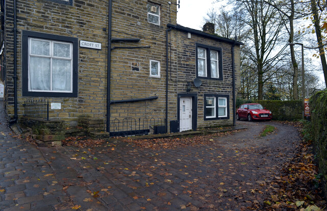
Lees Images
Images are sourced within 2km of 53.836256/-1.935688 or Grid Reference SE0437. Thanks to Geograph Open Source API. All images are credited.
Lees is located at Grid Ref: SE0437 (Lat: 53.836256, Lng: -1.935688)
Division: West Riding
Unitary Authority: Bradford
Police Authority: West Yorkshire
What 3 Words
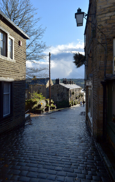
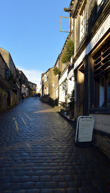
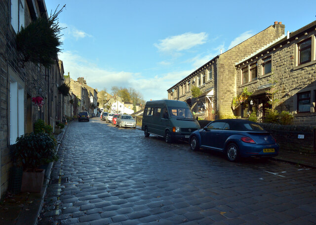
///below.seats.single. Near Haworth, West Yorkshire
Nearby Locations
Related Wikis

Cross Roads, West Yorkshire
Cross Roads or Cross Roads with Lees or Cross Roads cum Lees is a village and civil parish within the City of Bradford Metropolitan District, West Yorkshire...

Bogthorn
Bogthorn is a hamlet which forms part of Keighley in the City of Bradford, West Yorkshire, England. It lies between Exley Head and Oakworth on Keighley...

Lees Moor Tunnel
Lees Moor Tunnel is an abandoned tunnel on the former Great Northern Railway line between Queensbury and Keighley in West Yorkshire, England. The former...

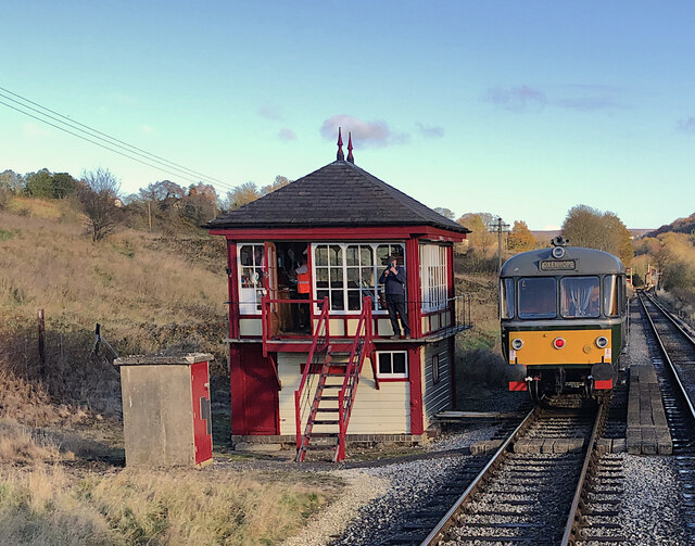
Oakworth railway station
Oakworth railway station serves the village of Oakworth, near Keighley, and within the City of Bradford Metropolitan District, West Yorkshire, England...
Nearby Amenities
Located within 500m of 53.836256,-1.935688Have you been to Lees?
Leave your review of Lees below (or comments, questions and feedback).