Lees
Settlement in Derbyshire South Derbyshire
England
Lees

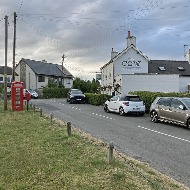
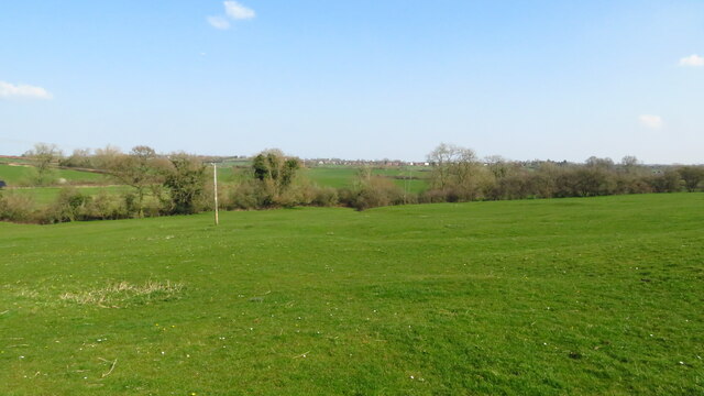
Lees is a small village located in the county of Derbyshire, England. Situated in the Amber Valley district, it lies approximately 10 miles northeast of Derby, the county town. The village is nestled in a scenic area surrounded by rolling hills and picturesque countryside, offering residents and visitors a tranquil and idyllic setting.
Lees is a tight-knit community with a population of around 1,500 people. The village boasts a charming mix of traditional stone-built cottages and modern houses, providing a diverse range of residential options. It is known for its strong sense of community spirit, with various local events and gatherings organized throughout the year.
In terms of amenities, Lees offers a range of facilities to cater to the needs of its residents. There is a local primary school, providing education for young children in the area. The village also has a post office, a convenience store, and a few small businesses, ensuring that essential daily needs are met.
For those seeking recreational activities, Lees has several public parks and green spaces where residents can enjoy leisurely walks, picnics, or outdoor activities. The village is also conveniently located near the Peak District National Park, offering access to stunning natural landscapes and opportunities for hiking, cycling, and exploring the great outdoors.
Overall, Lees, Derbyshire is a charming village that provides a peaceful and friendly environment for its residents. With its beautiful surroundings and strong community spirit, it is a delightful place to live or visit.
If you have any feedback on the listing, please let us know in the comments section below.
Lees Images
Images are sourced within 2km of 52.933781/-1.607189 or Grid Reference SK2637. Thanks to Geograph Open Source API. All images are credited.


Lees is located at Grid Ref: SK2637 (Lat: 52.933781, Lng: -1.607189)
Administrative County: Derbyshire
District: South Derbyshire
Police Authority: Derbyshire
What 3 Words
///nests.sleep.fees. Near Etwall, Derbyshire
Nearby Locations
Related Wikis
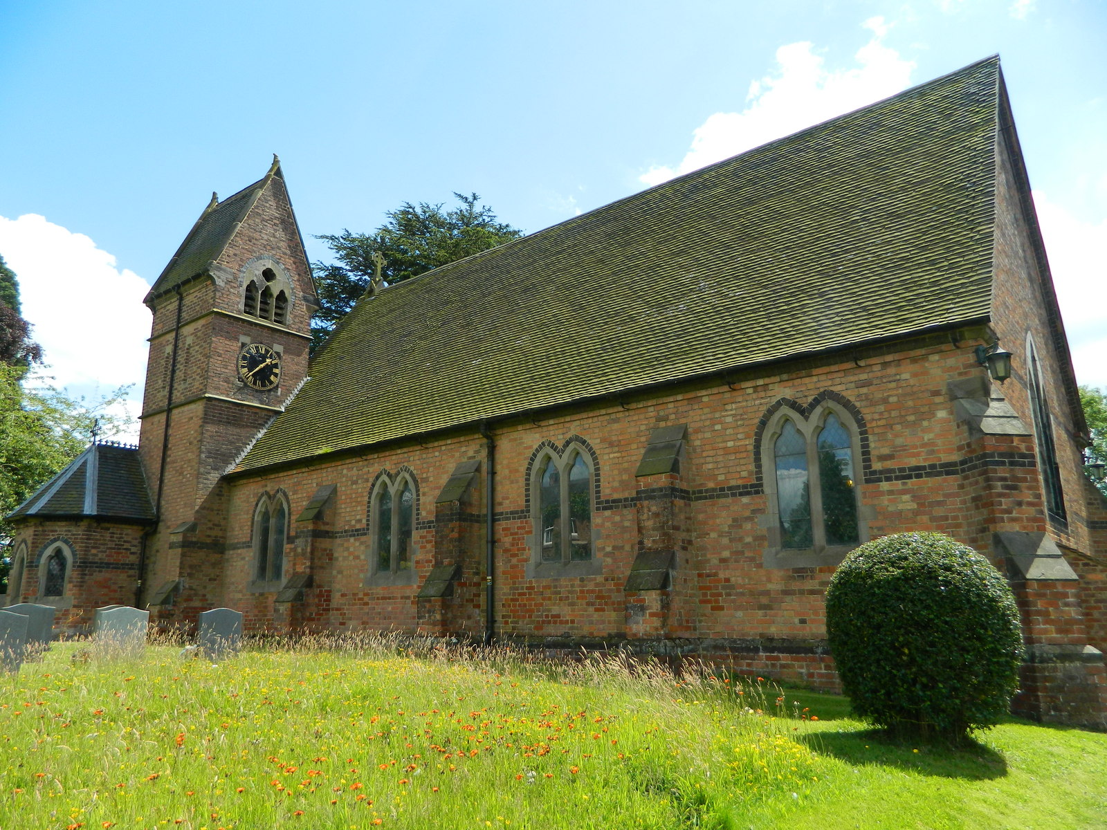
Christ Church, Long Lane
Christ Church, Long Lane is a Grade II listed parish church in the Church of England in Long Lane, Derbyshire. == History == The church dates from 1859...

Osleston
Osleston is a hamlet which together with Thurvaston makes up the parish of Osleston and Thurvaston. The civil parish population at the 2011 Census was...

Trusley
Trusley is a parish and small village in South Derbyshire. As the civil parish population is only minimal details are included in the civil parish of Dalbury...

Radbourne, Derbyshire
Radbourne is a small village and civil parish in the English county of Derbyshire, a few miles west of Derby. As the population of the civil parish taken...
Nearby Amenities
Located within 500m of 52.933781,-1.607189Have you been to Lees?
Leave your review of Lees below (or comments, questions and feedback).