Butterly Clough

Lake, Pool, Pond, Freshwater Marsh in Yorkshire

England

Butterly Clough

Butterley Reservoir
Butterley Reservoir Credit: Dave Pickersgill

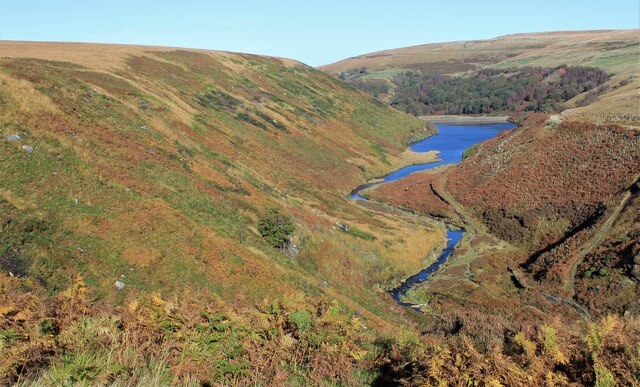
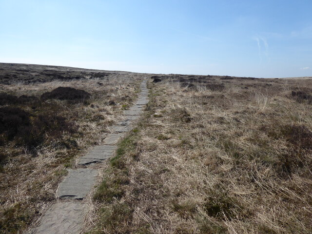
Butterly Clough, located in Yorkshire, is a stunning natural landscape that encompasses a lake, pool, pond, and freshwater marsh. Situated amidst the picturesque countryside, this area is known for its rich biodiversity and tranquil ambiance.

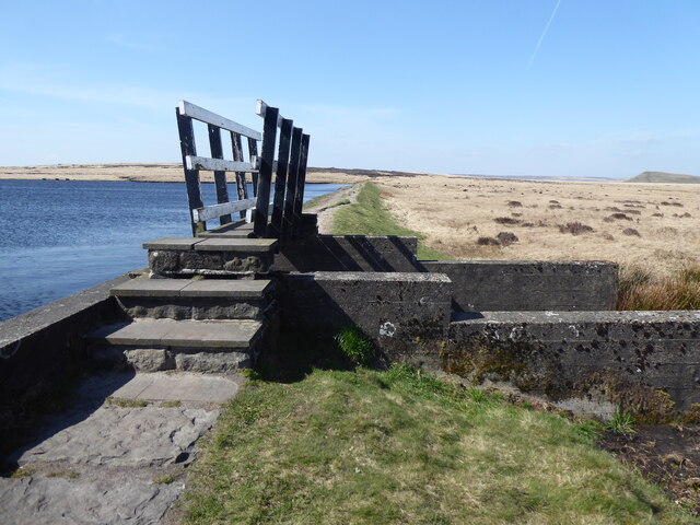
The main highlight of Butterly Clough is the lake, which is a large body of water surrounded by lush greenery and blooming wildflowers. The lake is home to various species of fish, providing ample opportunities for fishing enthusiasts. Its calm and crystal-clear waters also attract a variety of water birds, making it a popular spot for birdwatchers.

Adjacent to the lake is a pool, which is a smaller body of water that forms as a result of natural springs. The pool is ideal for those seeking a refreshing dip or a peaceful spot to relax and enjoy the surrounding nature.

The pond at Butterly Clough is a smaller water body that supports a diverse range of aquatic plants and insects. It serves as a vital habitat for amphibians such as frogs and newts, as well as various water-dwelling insects.

Lastly, the freshwater marsh at Butterly Clough is a wetland area characterized by its waterlogged soil and unique vegetation. This marshland provides a habitat for a wide array of wetland species, including waterfowl, dragonflies, and marsh plants.

Overall, Butterly Clough offers a delightful experience for nature lovers and outdoor enthusiasts. Its combination of a lake, pool, pond, and freshwater marsh creates a harmonious ecosystem that supports diverse flora and fauna, making it a haven for wildlife and a peaceful retreat for visitors.

If you have any feedback on the listing, please let us know in the comments section below.

Butterly Clough Images

Images are sourced within 2km of 53.589281/-1.9327514 or Grid Reference SE0410. Thanks to Geograph Open Source API. All images are credited.

Butterley Reservoir
Butterley Reservoir
Blakeley Reservoir
Blakeley Reservoir
Black Moss Reservoir dam wall
Track, Bridleway and Footpath at Wessenden Lodge Looking south-westward.
Track, Bridleway and Footpath at Wessenden Lodge
Looking south-westward.
Track and footpath signage in the Wassenden Valley Looking northward. The Kirklees Way continues ahead towards Marsden whilst the Pennine Way turns westward towards Black Moss
Track and footpath signage in the Wassenden Valley
Looking northward. The Kirklees Way continues ahead towards Marsden whilst the Pennine Way turns westward towards Black Moss
The Pennine Way near Hey Green
The Pennine Way above Wessenden Reservoir
The Pennine Way near Blakely Clough
The Pennine Way near Swellands reservoir
The Pennine Way near Black Moss Reservoir
Waterfall at Wessenden
Wessenden Brook
Wessenden Brook
Blakeley Reservoir View from the path along Deer Hill Reservoir conduit
Blakeley Reservoir
View from the path along Deer Hill Reservoir conduit
Waterfall from Wessenden Reservoir overflow The spillway on the reservoir ends abruptly in this waterfall down to Wessenden Brook
Waterfall from Wessenden Reservoir overflow
The spillway on the reservoir ends abruptly in this waterfall down to Wessenden Brook
Pennine Way maintenance What appears to be another stream on the edge of Blakely Clough is a line of bagged stone for the Pennine Way
Pennine Way maintenance
What appears to be another stream on the edge of Blakely Clough is a line of bagged stone for the Pennine Way
Wessenden Reservoir Spillway and Geese
Wessenden Reservoir
Spillway and Geese
Show me another place!

Butterly Clough is located at Grid Ref: SE0410 (Lat: 53.589281, Lng: -1.9327514)

Division: West Riding

Unitary Authority: Kirklees

Police Authority: West Yorkshire

What 3 Words

///youthful.subtitle.busters. Near Marsden, West Yorkshire

Related Wikis

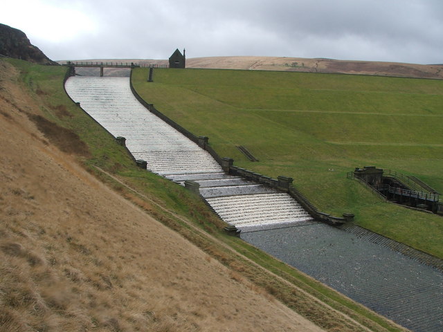
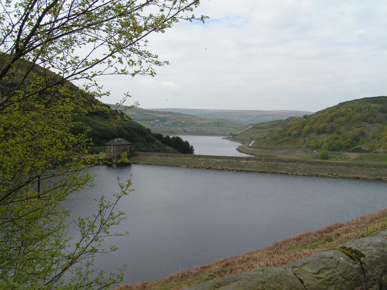
Butterley Reservoir, West Yorkshire

Butterley Reservoir is a reservoir located near Marsden, West Yorkshire, near the Peak District National Park boundary. It was completed in 1906. The reservoir...

Wessenden Valley

The Wessenden Valley is a moorland valley in the Dark Peak, immediately south of Marsden in West Yorkshire, England. The name Wessenden derives from Old...
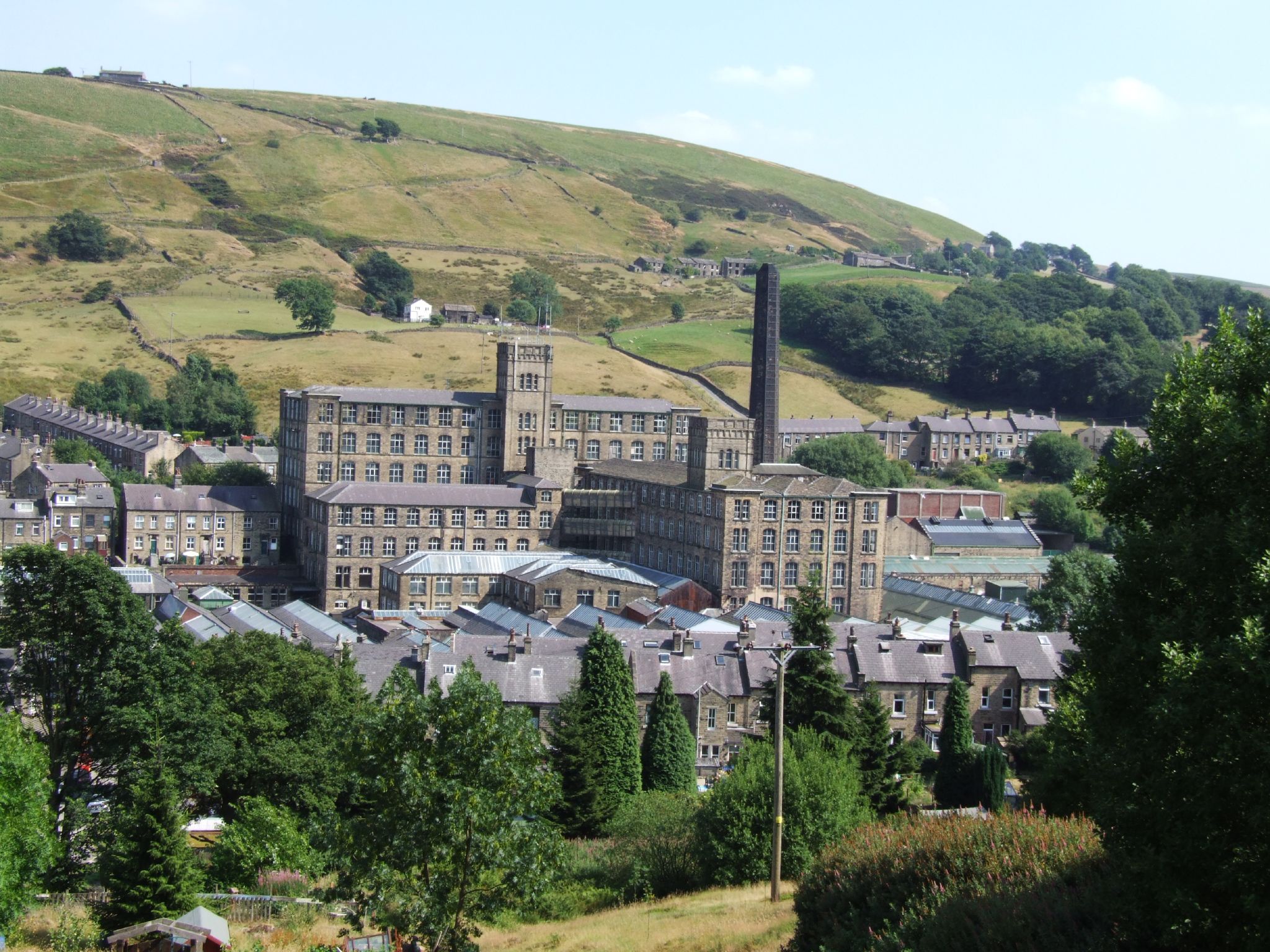
Bank Bottom Mill

Bank Bottom Mill, later known as Marsden Mill, was from 1824 an important centre for the production of woollen cloth in Marsden, West Yorkshire, England...

Marsden, West Yorkshire

Marsden is a large village in the Colne Valley, in the metropolitan borough of Kirklees, West Yorkshire, England. It is in the South Pennines close to...

Nearby Amenities

Located within 500m of 53.589281,-1.9327514
Bus Stop
Marsden, Mount Road / at Netherley Drive
Bus: yes
Local Ref: 45019254
Naptan AtcoCode: 450019254
Naptan Bearing: SE
Naptan CommonName: Mount Road Netherley Drive
Naptan Crossing: Netherley Drive
Naptan Indicator: Stop 45019254
Naptan Landmark: Bank Top Farm
Naptan PlusbusZoneRef: LEEDS
Naptan ShortCommonName: Netherley Drive
Naptan Street: Mount Road
Naptan Verified: no
Network: WY Metro
Operator: WY Metro
Public Transport: platform
Source: naptan_import
Lat/Long: 53.593377/-1.9329624
Bus Stop
Marsden, Mount Road / Mount Road Hard End
Bench: yes
Bin: yes
Bus: yes
Lit: yes
Local Ref: 45019255
Naptan AtcoCode: 450019255
Naptan Bearing: NE
Naptan CommonName: Mount Road Hard End
Naptan Crossing: Netherley Drive
Naptan Indicator: Stop 45019255
Naptan Landmark: Marsden Cricket Club
Naptan PlusbusZoneRef: LEEDS
Naptan ShortCommonName: Mount Road Hard End
Naptan Street: Mount Road
Naptan Verified: no
Network: WY Metro
Operator: WY Metro
Public Transport: platform
Shelter: yes
Source: naptan_import
Tactile Paving: no
Lat/Long: 53.5923621/-1.9344446
Bus Stop
Marsden, Mount Road / Netherley Drive
Bus: yes
Local Ref: 45025200
Naptan AtcoCode: 450025200
Naptan Bearing: NW
Naptan CommonName: Mount Road Netherley Drive
Naptan Crossing: Netherley Drive
Naptan Indicator: Stop 45025200
Naptan Landmark: Bank Top Farm
Naptan PlusbusZoneRef: LEEDS
Naptan ShortCommonName: Netherley Drive
Naptan Street: Mount Road
Naptan Verified: no
Public Transport: platform
Source: naptan_import
Lat/Long: 53.593404/-1.9330984
Fixme: pos
Note: Was the position fixed or just an improved guess? If fixed, remove fixme tag (and this note!)
Lat/Long: 53.5917076/-1.9287913
Mounting Block
Inscription: Pennine Bridleway Dark Peak Link 2008
Lat/Long: 53.5917191/-1.9286097
Mounting Block
Lat/Long: 53.5917787/-1.927981
Bench
Lat/Long: 53.5918595/-1.9279696
Information: board
Tourism: information
Lat/Long: 53.5918946/-1.9280446
Information: board
Tourism: information
Lat/Long: 53.5918285/-1.9280514
Barrier: ladder
Height: 0.8
Ladder: yes
Material: metal
Step Count: 3
Lat/Long: 53.591519/-1.9314285
Barrier: stile
Lat/Long: 53.5909494/-1.9323272
Ford: yes
Lat/Long: 53.5876681/-1.928369
Ford: yes
Lat/Long: 53.5880364/-1.9345991
Netherley
Place: hamlet
Lat/Long: 53.5934975/-1.9348962
Natural: spring
Lat/Long: 53.5935935/-1.9321789
Natural: spring
Lat/Long: 53.5917819/-1.9323431
The data included in this document is from www.openstreetmap.org. The data is made available under ODbL.

Have you been to Butterly Clough?

Leave your review of Butterly Clough below (or comments, questions and feedback).