Merecroft Pool
Lake, Pool, Pond, Freshwater Marsh in Worcestershire
England
Merecroft Pool

Merecroft Pool is a picturesque freshwater lake located in Worcestershire, England. Set amidst the stunning countryside, this body of water is a popular destination for locals and tourists alike due to its natural beauty and recreational opportunities.
Covering an area of approximately 4 hectares, Merecroft Pool is surrounded by lush greenery and offers a tranquil escape from the bustling city life. The lake's crystal-clear waters are fed by natural springs and provide a habitat for a variety of aquatic species, making it a haven for nature enthusiasts and birdwatchers.
The pool is well-known for its diverse range of flora and fauna, with water lilies and reeds lining the edges, creating a picturesque scene. The surrounding marshland is also home to numerous species of birds, including herons, swans, and ducks, providing ample opportunities for birdwatching and photography.
Visitors to Merecroft Pool can enjoy a range of recreational activities such as fishing, boating, and picnicking. The lake is well-stocked with a variety of fish species, including carp, pike, and perch, making it a popular spot for anglers. Boating enthusiasts can take to the waters in paddleboats or canoes, providing a unique perspective of the lake's natural surroundings.
Access to Merecroft Pool is convenient with nearby parking facilities and walking trails, allowing visitors to explore the area at their own pace. The peaceful ambiance and breathtaking scenery make Merecroft Pool a perfect place to relax, reconnect with nature, and enjoy the tranquility of Worcestershire's natural beauty.
If you have any feedback on the listing, please let us know in the comments section below.
Merecroft Pool Images
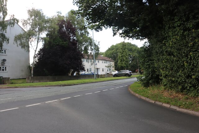
Images are sourced within 2km of 52.406956/-1.9370261 or Grid Reference SP0478. Thanks to Geograph Open Source API. All images are credited.


Merecroft Pool is located at Grid Ref: SP0478 (Lat: 52.406956, Lng: -1.9370261)
Unitary Authority: Birmingham
Police Authority: West Midlands
What 3 Words
///awards.claim.chief. Near Bartley Green, West Midlands
Nearby Locations
Related Wikis
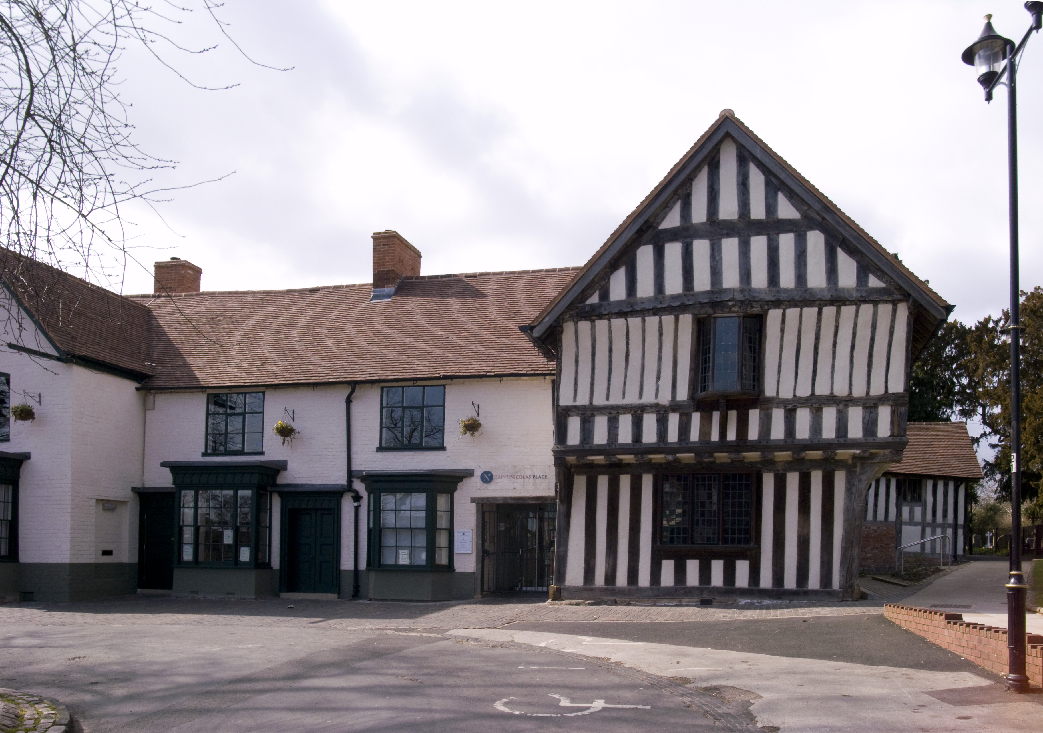
Saracen's Head
The Saracen's Head is the name formerly given to a group of late medieval buildings in Kings Norton, Birmingham. The buildings, together with the nearby...
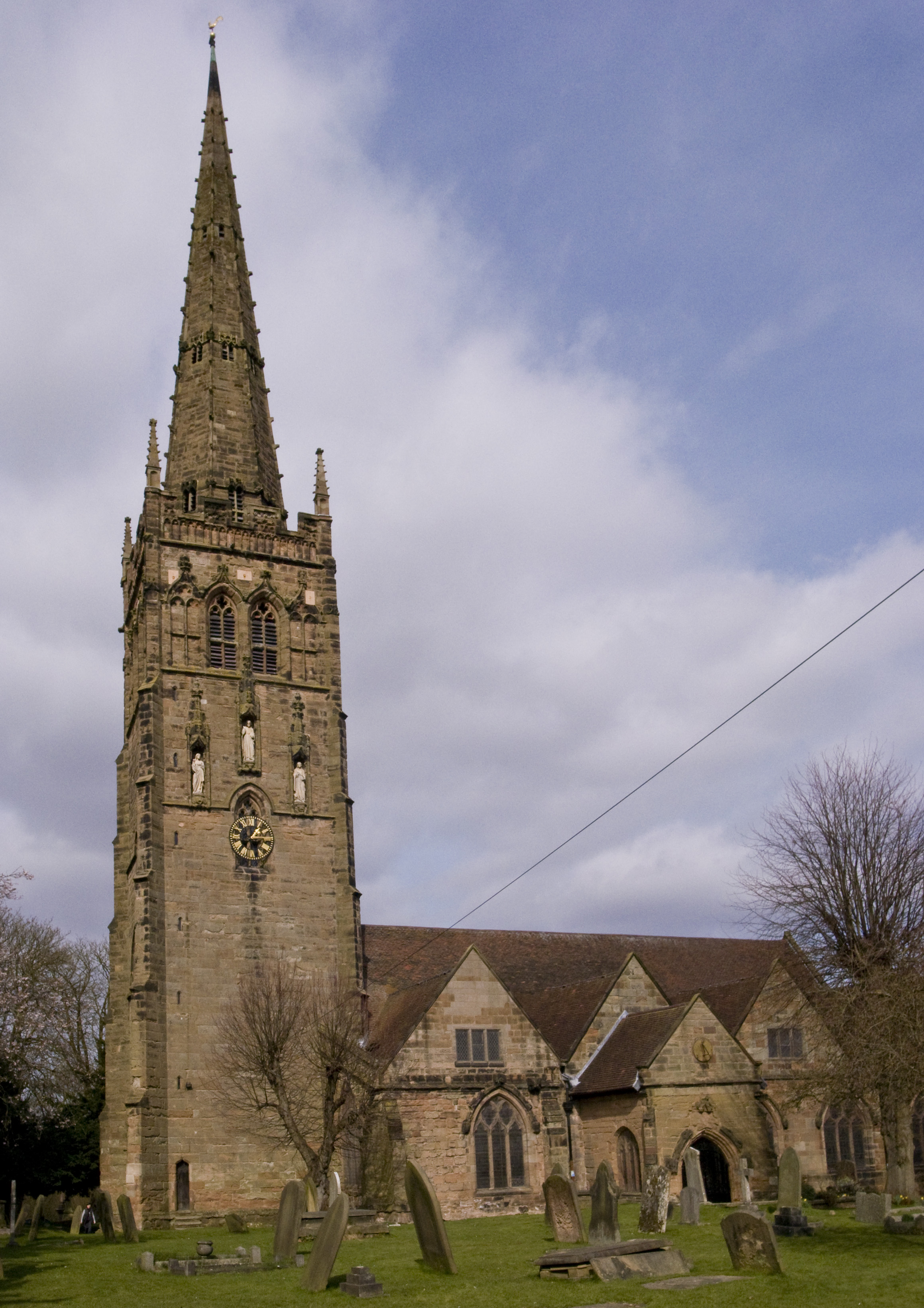
St Nicolas' Church, Kings Norton
St Nicolas' Church, Kings Norton, is the Anglican parish church of Kings Norton, in the Diocese of Birmingham, West Midlands, England. == History == A...

OJM C.F.C.
OJM Community Football Club is a football club currently based in the Kings Norton area of Birmingham, England. They are currently members of the Midland...

Kings Norton
Kings Norton, alternatively King's Norton, is an area of Birmingham, England. Historically in Worcestershire, it was also a Birmingham City Council ward...
Nearby Amenities
Located within 500m of 52.406956,-1.9370261Have you been to Merecroft Pool?
Leave your review of Merecroft Pool below (or comments, questions and feedback).