Kettle Hole

Lake, Pool, Pond, Freshwater Marsh in Northumberland

England

Kettle Hole

Bull and cow Set against the unlikely backdrop of Close House Residential Care Home.
Bull and cow Credit: Oliver Dixon

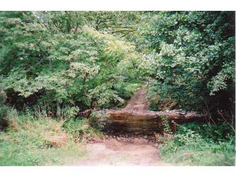
Kettle Hole, located in Northumberland, is a natural water feature that encompasses a variety of aquatic habitats, including a lake, pool, pond, and freshwater marsh. It is a fascinating geological formation that originated during the last ice age, around 10,000 years ago.

This kettle hole was formed when a block of ice became buried within glacial sediment. As the ice melted, it left behind a depression in the landscape, which eventually filled with water. Over time, this depression expanded and deepened, resulting in the formation of a lake.

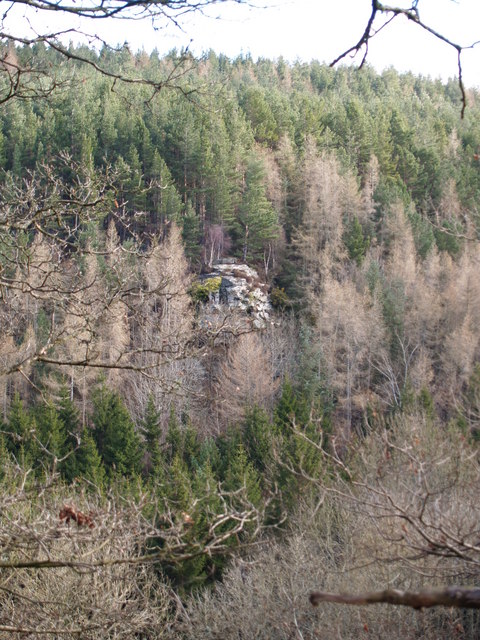
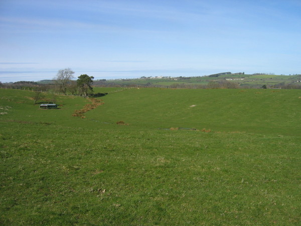
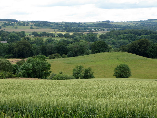
The lake in Kettle Hole is relatively small in size, with a surface area of approximately 5 acres. It is surrounded by a mix of woodland and meadows, creating a picturesque setting. The water is generally calm and clear, offering a tranquil environment for various aquatic organisms.

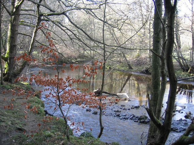
Adjacent to the lake, there is a pool and a pond that serve as important feeding grounds for birds and other wildlife. These smaller water bodies are often filled with an abundance of aquatic plants, providing a rich food source for many species.

Furthermore, Kettle Hole features a freshwater marsh, which is characterized by its wet and marshy conditions. This marshland is home to a diverse range of plant species, including reeds, sedges, and various types of grasses. It serves as a vital habitat for amphibians, such as frogs and newts, as well as numerous bird species.

Overall, Kettle Hole in Northumberland is a unique and ecologically significant water feature, encompassing a lake, pool, pond, and freshwater marsh. Its diverse habitats support a wide array of plant and animal life, making it an important site for conservation and a popular destination for nature enthusiasts.

If you have any feedback on the listing, please let us know in the comments section below.
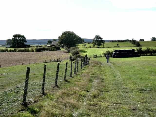
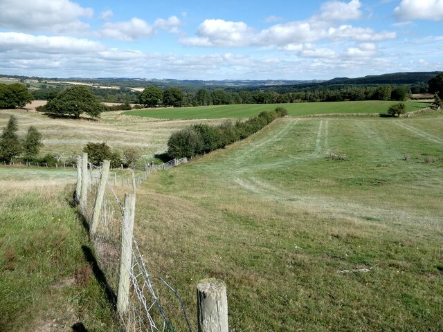
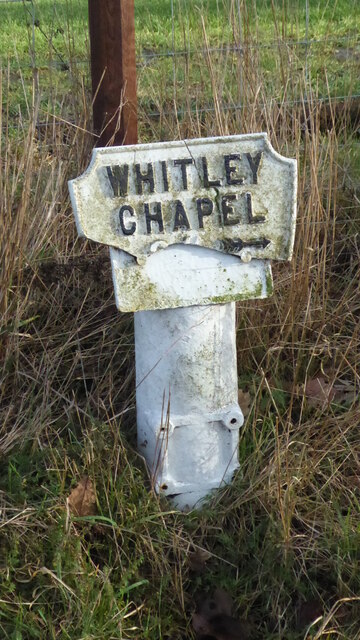
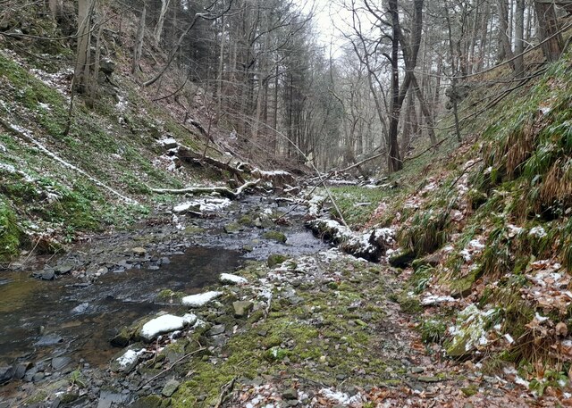
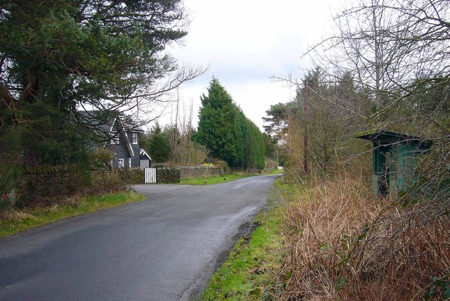
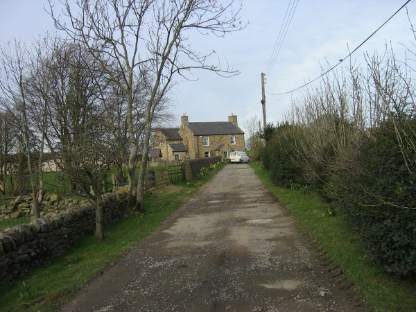
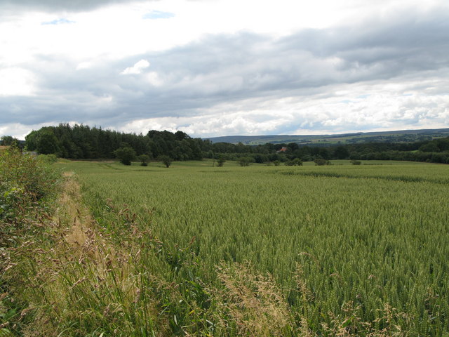
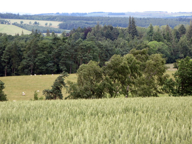
Kettle Hole Images

Images are sourced within 2km of 54.93589/-2.0770072 or Grid Reference NY9560. Thanks to Geograph Open Source API. All images are credited.

Bull and cow Set against the unlikely backdrop of Close House Residential Care Home.
Bull and cow
Set against the unlikely backdrop of Close House Residential Care Home.
Tamworth Reds I never knew that pigs could set up quite the cacophonous racket that these two (together with a couple of others) did when they saw us and presumably thought that food  was on the way!
Tamworth Reds
I never knew that pigs could set up quite the cacophonous racket that these two (together with a couple of others) did when they saw us and presumably thought that food was on the way!
Old pump Outside Lee Nook Farm.
Old pump
Outside Lee Nook Farm.
Heffers and steers Beside the path to Lee. Tynedale in the distance.
Heffers and steers
Beside the path to Lee. Tynedale in the distance.
The path to Lee
The path to Lee
Fields beside the path from Lee to Newbigin House Farm
Old Milestone by UC road, Ordley The Milestone is located on grass verge on the East side of the road.  Parish of Hexhamshire (Tynedale District). Metal post with attached metal plate, Smith Patterson iron shield design, erected by the Hexham turnpike trust in the 19th Century. Half of shield missing. An earlier photograph can be found here: <a title="https://www.geograph.org.uk/photo/6055942" href="https://www.geograph.org.uk/photo/6055942">Link</a> 

Inscription reads:-  
WHITLEY / CHAPEL / (2½) {arrow} / (HEXHAM) / (3) / ({arrow}) SMITH PATTERSON / BLAYDON /

Grade II listed. 
List Entry Number: 1045329 <span class="nowrap"><a title="https://historicengland.org.uk/listing/the-list/list-entry/1045329" rel="nofollow ugc noopener" href="https://historicengland.org.uk/listing/the-list/list-entry/1045329">Link</a><img style="margin-left:2px;" alt="External link" title="External link - shift click to open in new window" src="https://s1.geograph.org.uk/img/external.png" width="10" height="10"/></span> 

Milestone Society National ID: NB_HXWC03
Old Milestone by UC road, Ordley
The Milestone is located on grass verge on the East side of the road.  Parish of Hexhamshire (Tynedale District). Metal post with attached metal plate, Smith Patterson iron shield design, erected by the Hexham turnpike trust in the 19th Century. Half of shield missing. An earlier photograph can be found here: Link  Inscription reads:- WHITLEY / CHAPEL / (2½) {arrow} / (HEXHAM) / (3) / ({arrow}) SMITH PATTERSON / BLAYDON / Grade II listed. List Entry Number: 1045329 LinkExternal link Milestone Society National ID: NB_HXWC03
Gorge in Shieldhill Wood A gorge in Shieldhill Wood near the hamlet of Juniper.
Gorge in Shieldhill Wood
A gorge in Shieldhill Wood near the hamlet of Juniper.
Ford, Peth Foot Ford takes a rough lane through Devil's Water.
Ford, Peth Foot
Ford takes a rough lane through Devil's Water.
Dipton Crags Dipton Crags from Wooley Grange
Dipton Crags
Dipton Crags from Wooley Grange
The Devil's Water Picture taken just upstream from the ford and footbridge near Peth Foot
The Devil's Water
Picture taken just upstream from the ford and footbridge near Peth Foot
The Travellers' Rest Inn on the B6306, Hexham to Blanchland & Edmundbyers road, about a mile before Slaley is reached.
The Travellers' Rest
Inn on the B6306, Hexham to Blanchland & Edmundbyers road, about a mile before Slaley is reached.
Wooley, near Slaley This was once the site of a hospital built in 1916 for first world war gas victims, and later became a sanatorium, until its closure in 1976.
Some of the characteristic darkwood timberlap buildings survive and have been converted for residential use.
Wooley, near Slaley
This was once the site of a hospital built in 1916 for first world war gas victims, and later became a sanatorium, until its closure in 1976. Some of the characteristic darkwood timberlap buildings survive and have been converted for residential use.
Farmland and footpath crossing Cockshaw Rigg
Footpath leading to Lee
Arable land, hill 150 and Wooley Wood
Arable land and woods near Hirst Hill
Arable land and woods near Linnel Hill
Show me another place!

Kettle Hole is located at Grid Ref: NY9560 (Lat: 54.93589, Lng: -2.0770072)

Unitary Authority: Northumberland

Police Authority: Northumbria

What 3 Words

///motive.singled.ranges. Near Slaley, Northumberland

Related Wikis

Rowley Burn (Northumberland)

Rowley Burn (also known as Rowley Brook and Ham Burn, NY 9358) is a stream in Northumberland, running around three miles south of Hexham before joining...

Hexhamshire Low Quarter

Hexhamshire Low Quarter is a former civil parish, now in the parish of Hexhamshire, in Northumberland, England. It was situated to the south of Hexham...

Juniper, Northumberland

Juniper is a hamlet in the English county of Northumberland. It is about 5 miles (8 km) due south of Hexham in the area known as Hexhamshire. There is...

Hexhamshire

Hexhamshire is a civil parish in Northern England. It was incorporated into Northumberland in 1572. == History == Hexhamshire was originally a single parish...

Slaley, Northumberland

Slaley is a village in Northumberland, England. It is situated to the southeast of Hexham. It is surrounded by the following villages: Ruffside, Whitley...

Whitley Chapel

Whitley Chapel is a village in Northumberland, England about 4 miles (6 km) south of Hexham, and in the parish of Hexhamshire. == Governance == Whitley...

Cambian Dilston College

Cambian Dilston College is a private further education college for those with special educational needs. It is located at Dilston Hall in Corbridge in...

Hexham General Hospital

Hexham General Hospital is an acute general hospital in Hexham, Northumberland, England. It is managed by the Northumbria Healthcare NHS Foundation Trust...

Have you been to Kettle Hole?

Leave your review of Kettle Hole below (or comments, questions and feedback).