Lingynook Plantation

Wood, Forest in Northumberland

England

Lingynook Plantation

Old pump Outside Lee Nook Farm.
Old pump Credit: Oliver Dixon

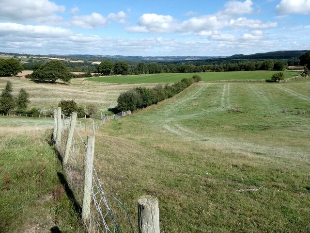
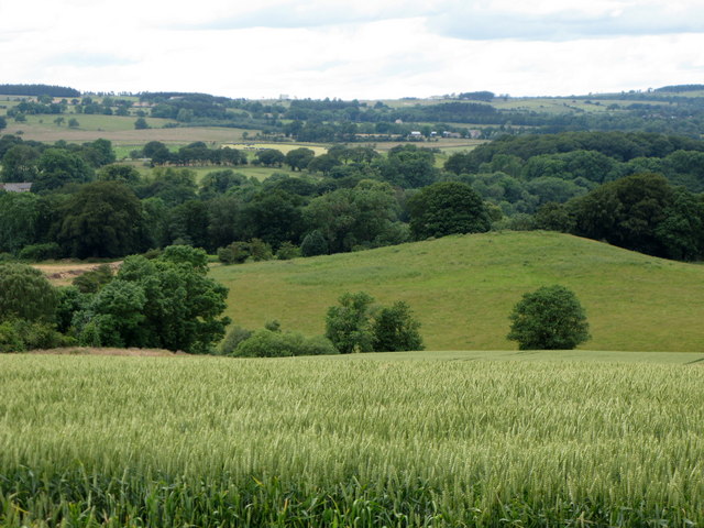
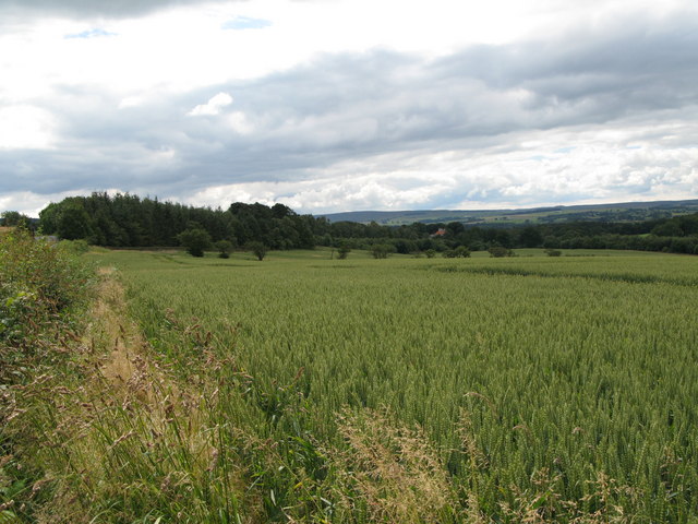
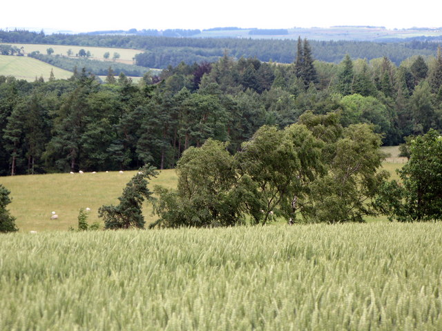
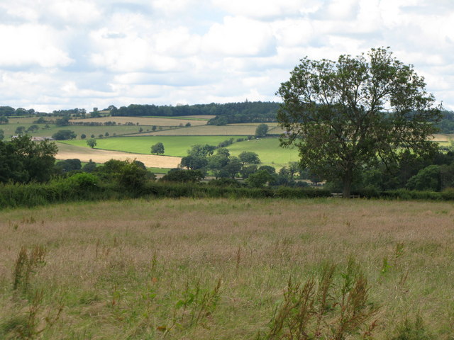
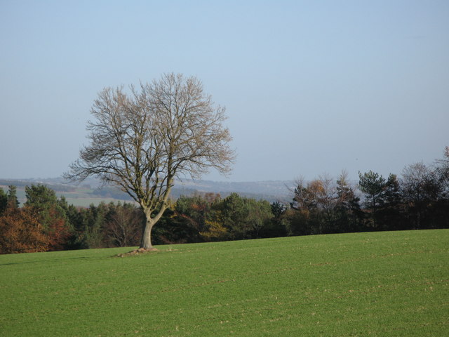
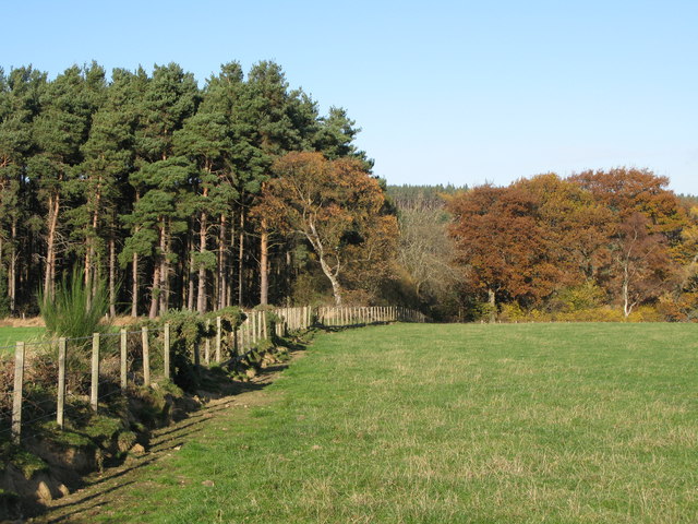
Lingynook Plantation is a sprawling woodland located in Northumberland, a county in the northeastern part of England. Spanning over several acres, this enchanting forest is a haven of tranquility and natural beauty. The plantation is situated near the small village of Wood, providing breathtaking views of the surrounding countryside.

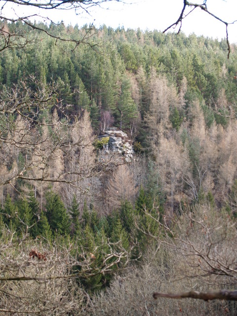
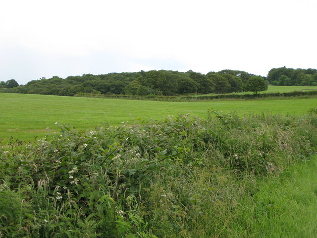
The forest is predominantly composed of majestic oak trees, which have stood tall for generations, creating a dense canopy that filters the sunlight and casts a magical ambiance throughout the plantation. Underneath this leafy canopy, a rich undergrowth of diverse flora flourishes, including ferns, bluebells, and wild orchids.

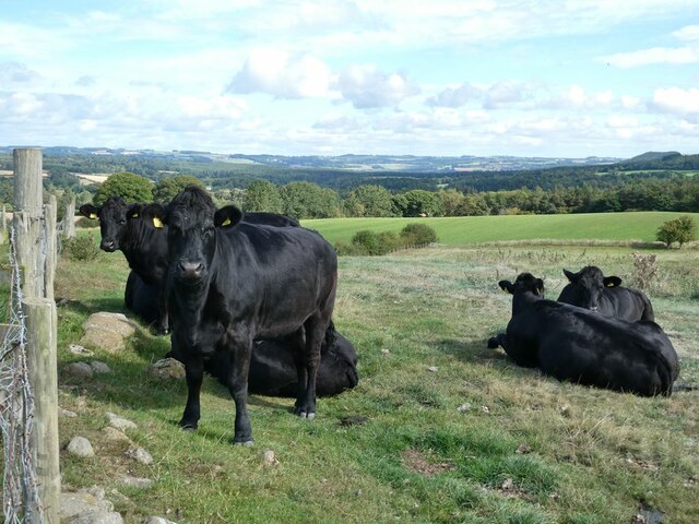
Lingynook Plantation is not only a haven for plant life but also a sanctuary for a variety of wildlife species. The forest provides an ideal habitat for numerous bird species, such as woodpeckers, owls, and thrushes, whose melodic songs echo through the woodland. Additionally, the undergrowth offers shelter for small mammals like foxes, badgers, and rabbits.

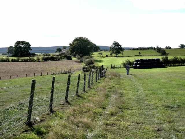
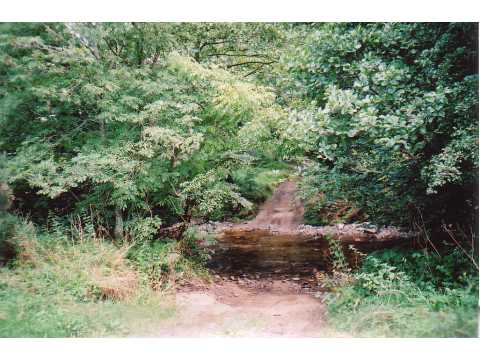
Nature enthusiasts and hikers flock to Lingynook Plantation to explore its numerous trails, which wind through the dense forest, revealing hidden gems at every turn. The plantation also boasts a picturesque pond, reflecting the surrounding foliage and providing a serene spot for visitors to relax and enjoy the peaceful ambiance.

Lingynook Plantation is not only a natural treasure but also a historical site. It is said to have been a favorite hunting ground for the local nobility in the past, and remnants of ancient structures can still be found within the forest, adding an intriguing element to its allure.

Overall, Lingynook Plantation in Northumberland is a captivating woodland that offers visitors a chance to immerse themselves in the beauty of nature while also exploring its rich history.

If you have any feedback on the listing, please let us know in the comments section below.

Lingynook Plantation Images

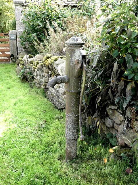
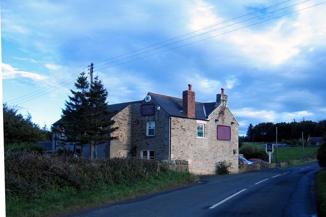
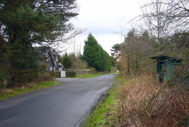
Images are sourced within 2km of 54.934855/-2.0642856 or Grid Reference NY9560. Thanks to Geograph Open Source API. All images are credited.

Old pump Outside Lee Nook Farm.
Old pump
Outside Lee Nook Farm.
Heffers and steers Beside the path to Lee. Tynedale in the distance.
Heffers and steers
Beside the path to Lee. Tynedale in the distance.
The path to Lee
The path to Lee
Fields beside the path from Lee to Newbigin House Farm
Old Milestone by UC road, Ordley The Milestone is located on grass verge on the East side of the road.  Parish of Hexhamshire (Tynedale District). Metal post with attached metal plate, Smith Patterson iron shield design, erected by the Hexham turnpike trust in the 19th Century. Half of shield missing. An earlier photograph can be found here: <a title="https://www.geograph.org.uk/photo/6055942" href="https://www.geograph.org.uk/photo/6055942">Link</a> 

Inscription reads:-  
WHITLEY / CHAPEL / (2½) {arrow} / (HEXHAM) / (3) / ({arrow}) SMITH PATTERSON / BLAYDON /

Grade II listed. 
List Entry Number: 1045329 <span class="nowrap"><a title="https://historicengland.org.uk/listing/the-list/list-entry/1045329" rel="nofollow ugc noopener" href="https://historicengland.org.uk/listing/the-list/list-entry/1045329">Link</a><img style="margin-left:2px;" alt="External link" title="External link - shift click to open in new window" src="https://s1.geograph.org.uk/img/external.png" width="10" height="10"/></span> 

Milestone Society National ID: NB_HXWC03
Old Milestone by UC road, Ordley
The Milestone is located on grass verge on the East side of the road.  Parish of Hexhamshire (Tynedale District). Metal post with attached metal plate, Smith Patterson iron shield design, erected by the Hexham turnpike trust in the 19th Century. Half of shield missing. An earlier photograph can be found here: Link  Inscription reads:- WHITLEY / CHAPEL / (2½) {arrow} / (HEXHAM) / (3) / ({arrow}) SMITH PATTERSON / BLAYDON / Grade II listed. List Entry Number: 1045329 LinkExternal link Milestone Society National ID: NB_HXWC03
Gorge in Shieldhill Wood A gorge in Shieldhill Wood near the hamlet of Juniper.
Gorge in Shieldhill Wood
A gorge in Shieldhill Wood near the hamlet of Juniper.
Ford, Peth Foot Ford takes a rough lane through Devil's Water.
Ford, Peth Foot
Ford takes a rough lane through Devil's Water.
Dipton Crags Dipton Crags from Wooley Grange
Dipton Crags
Dipton Crags from Wooley Grange
The Travellers' Rest Inn on the B6306, Hexham to Blanchland & Edmundbyers road, about a mile before Slaley is reached.
The Travellers' Rest
Inn on the B6306, Hexham to Blanchland & Edmundbyers road, about a mile before Slaley is reached.
Wooley, near Slaley This was once the site of a hospital built in 1916 for first world war gas victims, and later became a sanatorium, until its closure in 1976.
Some of the characteristic darkwood timberlap buildings survive and have been converted for residential use.
Wooley, near Slaley
This was once the site of a hospital built in 1916 for first world war gas victims, and later became a sanatorium, until its closure in 1976. Some of the characteristic darkwood timberlap buildings survive and have been converted for residential use.
Arable land, hill 150 and Wooley Wood
Pastures and woodland near Low House
Arable land and woods near Hirst Hill
Arable land and woods near Linnel Hill
Fields and woods around Linnel Hill Taken from the track to The Linnel Stud in <a href="https://www.geograph.org.uk/gridref/NY9560">NY9560</a>.
Fields and woods around Linnel Hill
Taken from the track to The Linnel Stud in NY9560.
Wooley House
Wooley House
Lone tree in a field With part of the southern edge of Dipton Wood behind.
Lone tree in a field
With part of the southern edge of Dipton Wood behind.
Dipton Wood
Dipton Wood
Show me another place!

Lingynook Plantation is located at Grid Ref: NY9560 (Lat: 54.934855, Lng: -2.0642856)

Unitary Authority: Northumberland

Police Authority: Northumbria

What 3 Words

///corrupted.jigsaw.store. Near Slaley, Northumberland

Related Wikis

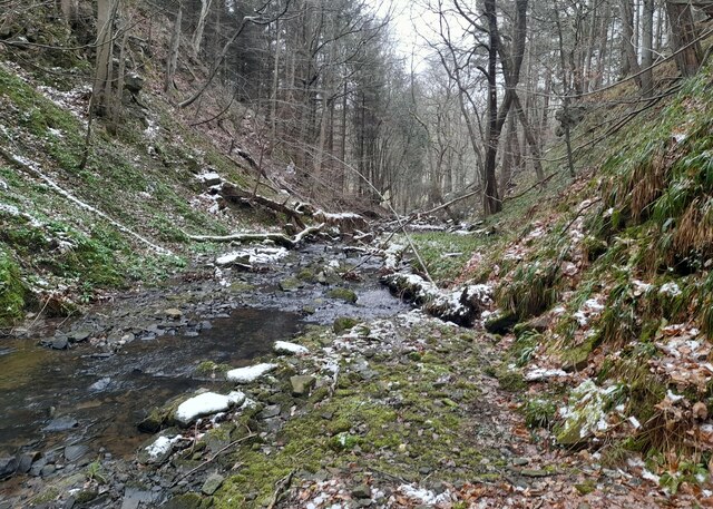
Rowley Burn (Northumberland)

Rowley Burn (also known as Rowley Brook and Ham Burn, NY 9358) is a stream in Northumberland, running around three miles south of Hexham before joining...

Hexhamshire Low Quarter

Hexhamshire Low Quarter is a former civil parish, now in the parish of Hexhamshire, in Northumberland, England. It was situated to the south of Hexham...

Slaley, Northumberland

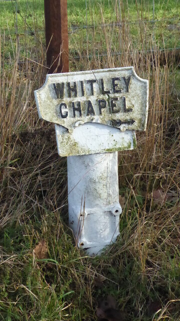
Slaley is a village in Northumberland, England. It is situated to the southeast of Hexham. It is surrounded by the following villages: Ruffside, Whitley...

Juniper, Northumberland

Juniper is a hamlet in the English county of Northumberland. It is about 5 miles (8 km) due south of Hexham in the area known as Hexhamshire. There is...

Nearby Amenities

Located within 500m of 54.934855,-2.0642856
The data included in this document is from www.openstreetmap.org. The data is made available under ODbL.

Have you been to Lingynook Plantation?

Leave your review of Lingynook Plantation below (or comments, questions and feedback).