Brabyns Wood
Wood, Forest in Cheshire
England
Brabyns Wood
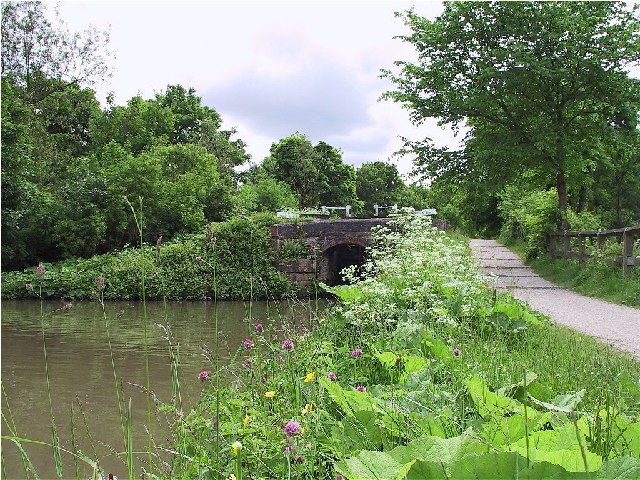
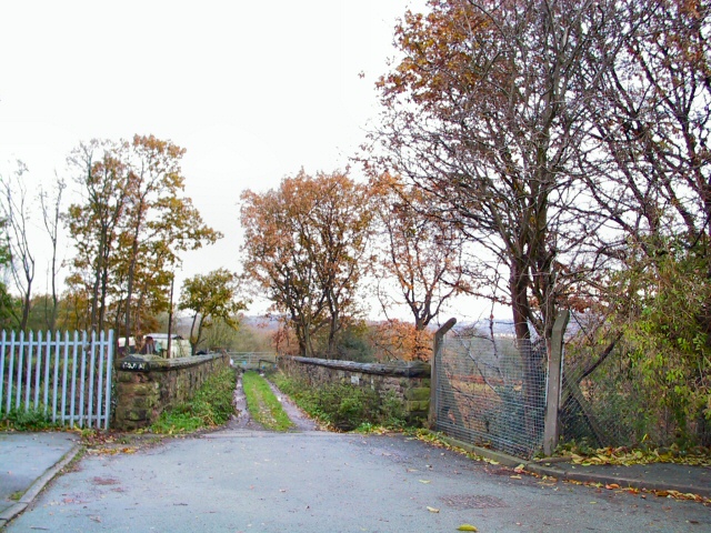
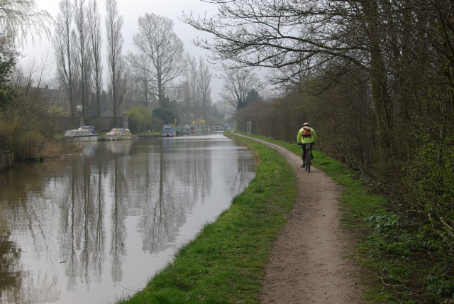
Brabyns Wood is a picturesque woodland located in Cheshire, England. Covering an area of approximately 60 acres, this ancient forest is a haven for nature lovers and walkers alike. Situated on the outskirts of Marple, a small town in Stockport, Brabyns Wood offers a tranquil escape from the bustling city life.
The woodland boasts an impressive variety of trees, including oak, beech, birch, and hazel. The dense canopy provides a cool and shady environment, perfect for exploring on hot summer days. Bluebells carpet the forest floor in spring, transforming the woodland into a stunning carpet of vibrant purple.
Brabyns Wood is intersected by a network of well-maintained footpaths and trails, allowing visitors to navigate the forest easily. These paths lead to various points of interest, such as the enchanting Fairy Glen, a small stream that meanders through the woods, and the picturesque Brabyns Park, a beautiful open space adjacent to the woodland.
The forest is home to a diverse range of wildlife, including squirrels, birds, and butterflies. Birdwatchers can spot species such as the great spotted woodpecker, nuthatch, and treecreeper among the treetops. The tranquil setting also provides an opportunity for wildlife enthusiasts to study and appreciate the natural beauty of the area.
Brabyns Wood is a popular destination for walkers, families, and nature enthusiasts throughout the year. With its stunning natural scenery, well-maintained trails, and abundant wildlife, it offers a delightful escape into nature for visitors of all ages.
If you have any feedback on the listing, please let us know in the comments section below.
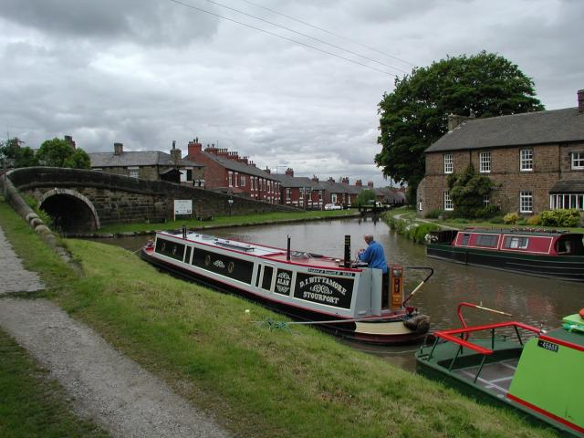
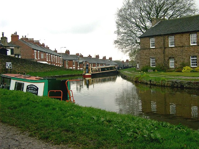
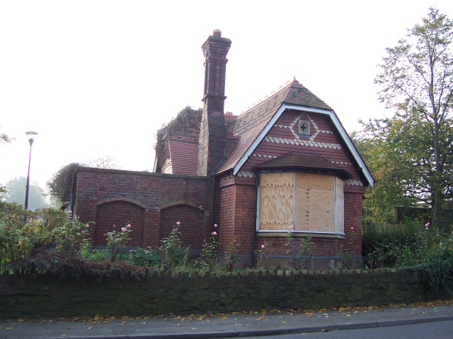
Brabyns Wood Images
Images are sourced within 2km of 53.406369/-2.061934 or Grid Reference SJ9589. Thanks to Geograph Open Source API. All images are credited.
Brabyns Wood is located at Grid Ref: SJ9589 (Lat: 53.406369, Lng: -2.061934)
Unitary Authority: Stockport
Police Authority: Greater Manchester
What 3 Words
///responds.potions.profiled. Near Marple, Manchester
Nearby Locations
Related Wikis

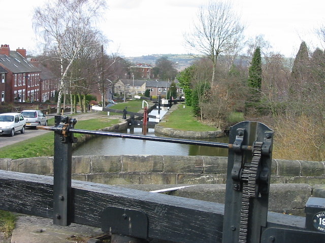
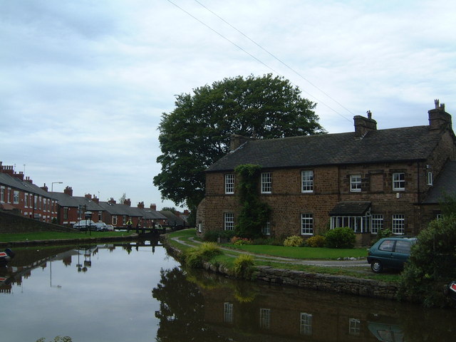
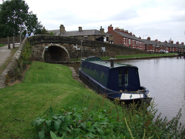
Marple Lock Flight
Marple Lock Flight is a flight of sixteen canal locks, situated on the Peak Forest Canal in Marple, a suburb of Stockport. == History == Whilst the rest...

Brabyns Park
Brabyns Park is a public park in Marple Bridge, Stockport, Greater Manchester, England. == History == Brabyns Park was formerly the grounds of Brabyns...

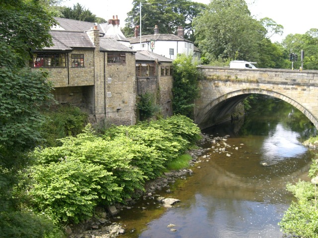
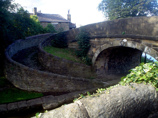
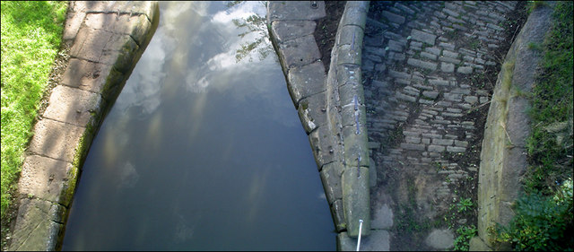
Marple Aqueduct
Marple Aqueduct (also known as Goyt Aqueduct) at Marple, Greater Manchester, in north-west England was built to carry the lower level of the Peak Forest...

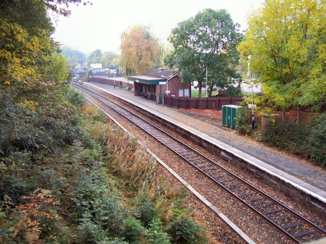
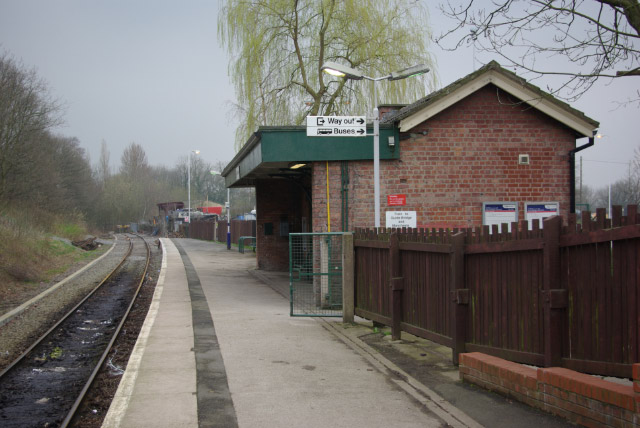
Marple railway station
Marple railway station in Marple, Greater Manchester, England, is on the Hope Valley Line 8.9 miles (14.3 km) south-east of Manchester Piccadilly. The...
Related Videos

Peak Forest Canal Walk, English Countryside 4K
https://www.buymeacoffee.com/Daveswalks All support is hugely appreciated and it helps me keep the channel going! No talking ...

Marple Aqueduct and Canal Walk, English Countryside 4K
https://www.buymeacoffee.com/Daveswalks All support is hugely appreciated and it helps me keep the channel going! No talking ...

Hiking John O’ Groats to Land’s End | Daily Vlog | Day 40
Me and Di (my girlfriend) are hiking from John O' Groats to Land's End and wild camping all the way. This is a daily vlog of our ...

Nearby Amenities
Located within 500m of 53.406369,-2.061934Have you been to Brabyns Wood?
Leave your review of Brabyns Wood below (or comments, questions and feedback).