Hill Bottom Plantation
Wood, Forest in Dorset
England
Hill Bottom Plantation
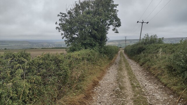
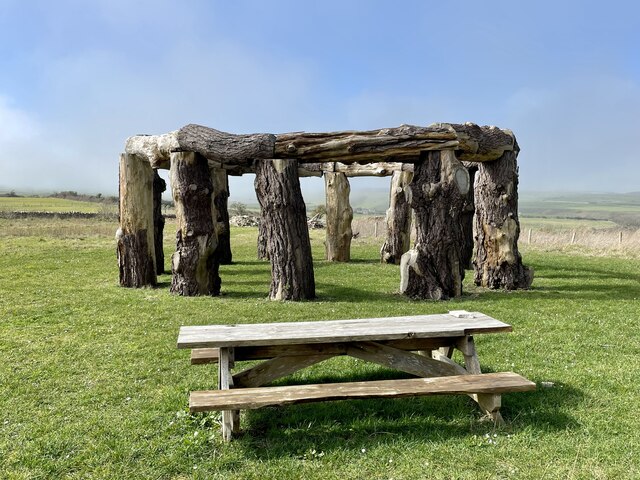
Hill Bottom Plantation is a serene and picturesque woodland located in the county of Dorset, England. Covering an expansive area of approximately 300 acres, this enchanting forest is a haven for nature lovers and outdoor enthusiasts alike.
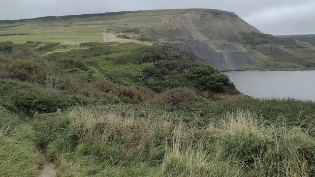
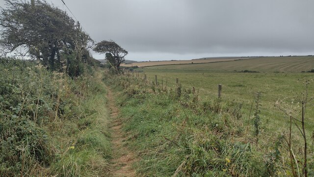
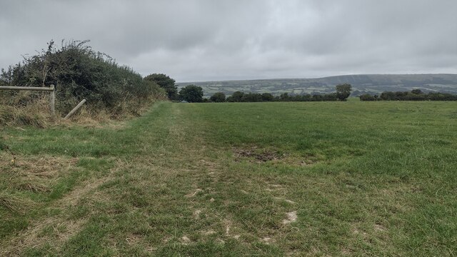
The plantation is characterized by its lush greenery, towering trees, and diverse wildlife. It is home to an impressive array of plant species, including oak, beech, and pine, which create a dense canopy that filters sunlight and creates a tranquil atmosphere. The forest floor is carpeted with a variety of flora, such as bluebells, ferns, and wildflowers, adding to the beauty and charm of the landscape.
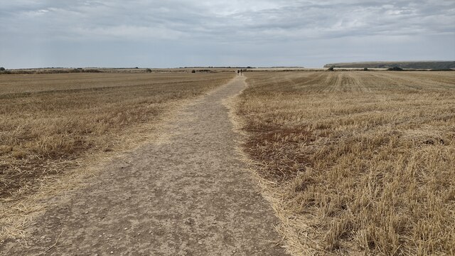
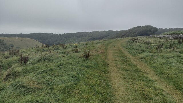
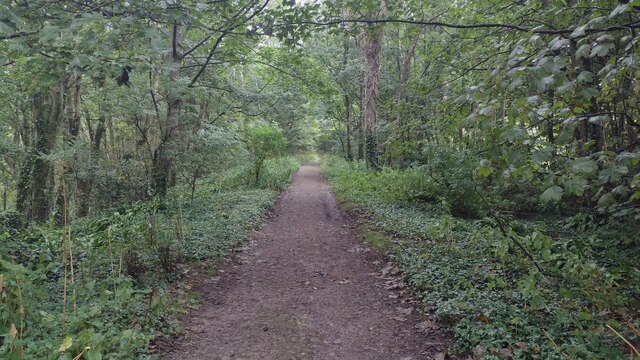
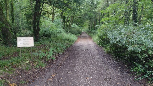
Wandering through the woodland, visitors can enjoy a network of well-maintained walking trails that meander through the plantation. These paths cater to all levels of fitness and offer opportunities for leisurely strolls, brisk hikes, and even mountain biking. The trails are clearly marked and provide stunning views of the surrounding countryside, making them perfect for those seeking both a physical challenge and a chance to immerse themselves in nature.
Hill Bottom Plantation is also a haven for wildlife. It is home to a wide range of species, including deer, foxes, badgers, and a multitude of bird species. Nature enthusiasts can observe and appreciate these creatures in their natural habitat, making it a popular destination for birdwatchers and wildlife photographers.
Overall, Hill Bottom Plantation in Dorset is a captivating and breathtaking woodland that offers a peaceful retreat from the hustle and bustle of everyday life. Its natural beauty, diverse flora and fauna, and well-maintained trails make it a must-visit destination for nature lovers and outdoor enthusiasts alike.
If you have any feedback on the listing, please let us know in the comments section below.
Hill Bottom Plantation Images
Images are sourced within 2km of 50.598991/-2.0583155 or Grid Reference SY9577. Thanks to Geograph Open Source API. All images are credited.


Hill Bottom Plantation is located at Grid Ref: SY9577 (Lat: 50.598991, Lng: -2.0583155)
Unitary Authority: Dorset
Police Authority: Dorset
What 3 Words
///broads.dragonfly.move. Near Corfe Castle, Dorset
Nearby Locations
Related Wikis

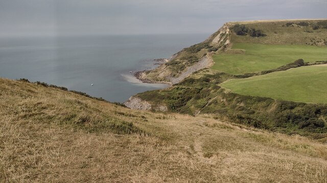
Chapman's Pool
Chapman's Pool is a small cove to the west of Worth Matravers on the Isle of Purbeck, in Dorset, England. == Geology == The rocks that form the cove are...

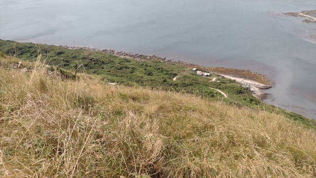
Egmont Bight
Egmont Bight is a shallow embayment at the southern end of the Encombe valley in Dorset, England. It is part of the Jurassic Coast. == Geology == The bay...

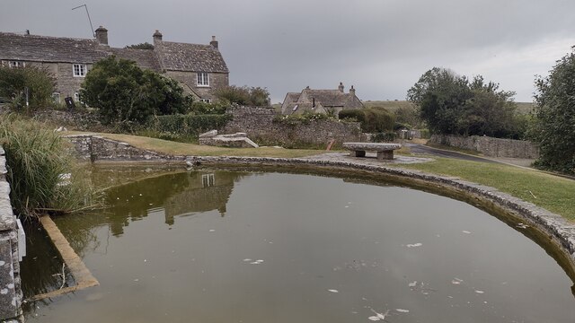
Worth Matravers
Worth Matravers () is a village and civil parish in the English county of Dorset. The village is situated on the cliffs west of Swanage. It comprises limestone...

Square and Compass, Worth Matravers
The Square and Compass is a Grade II listed public house in Worth Matravers, Dorset. Built in the 18th century as a pair of cottages before becoming a...
Nearby Amenities
Located within 500m of 50.598991,-2.0583155Have you been to Hill Bottom Plantation?
Leave your review of Hill Bottom Plantation below (or comments, questions and feedback).