Windy Hill
Hill, Mountain in Northumberland
England
Windy Hill
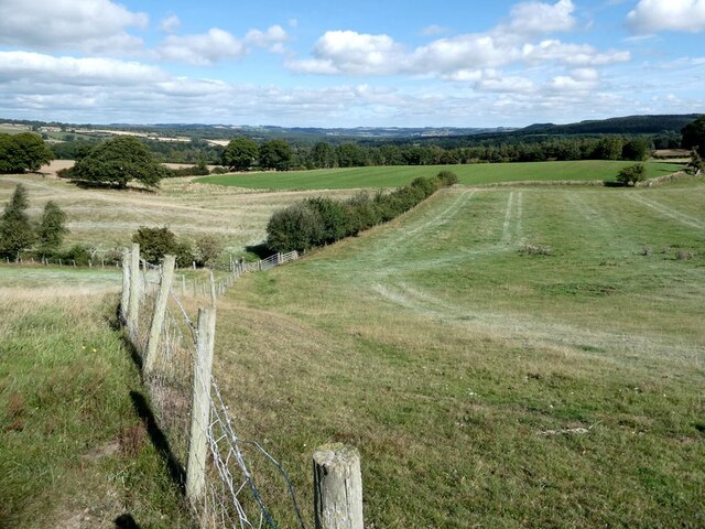
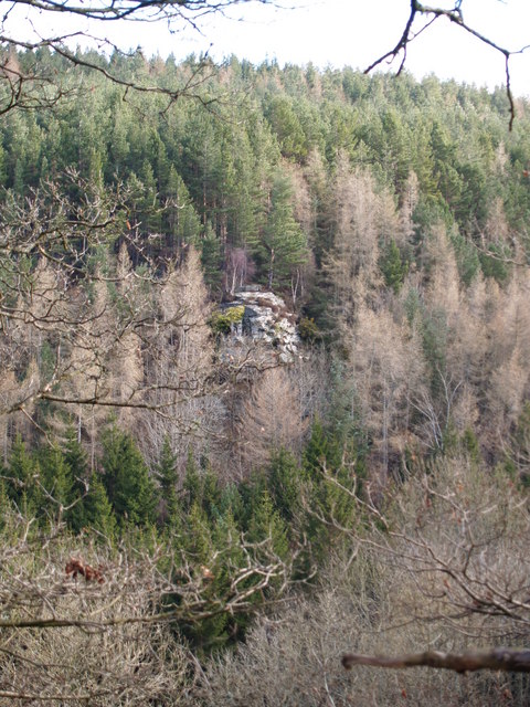
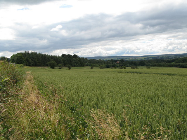
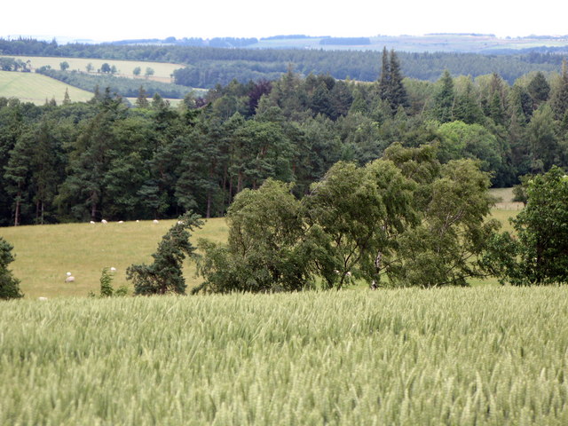
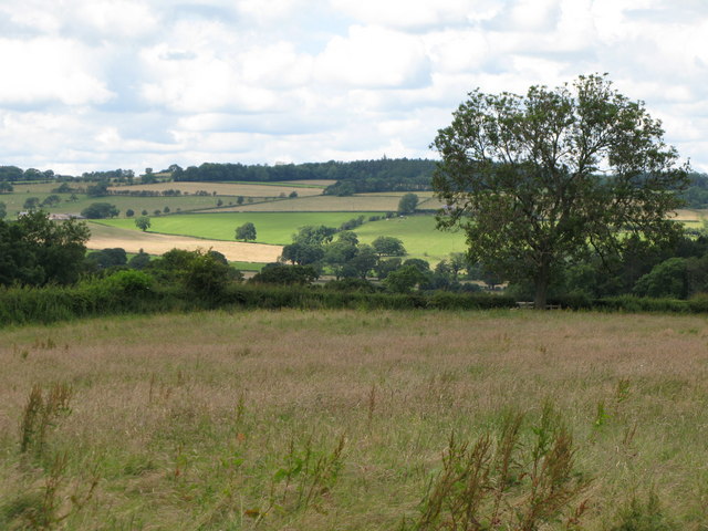
Windy Hill is a prominent hill located in the county of Northumberland, England. Situated in the northern part of the county, it forms part of the stunning landscape of the North Pennines Area of Outstanding Natural Beauty. Rising to an elevation of approximately 474 meters (1,555 feet), Windy Hill offers breathtaking panoramic views of the surrounding countryside.
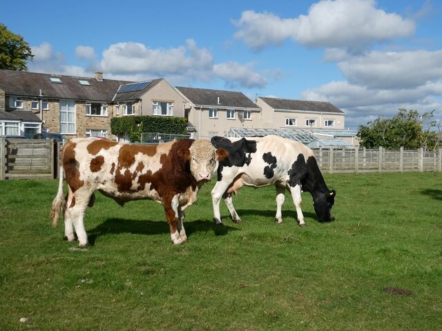
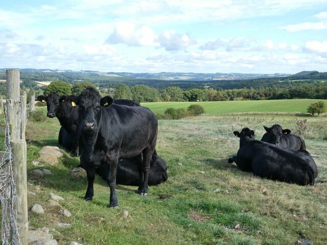
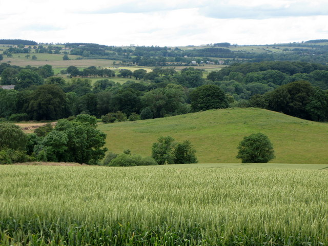
The hill is characterized by its rugged and windswept terrain, which is predominantly covered in heather and grasses. It is a popular destination for hikers, nature enthusiasts, and birdwatchers, who are drawn to its diverse flora and fauna. The hill is also home to a variety of wildlife species, including red grouse, curlews, and golden plovers.
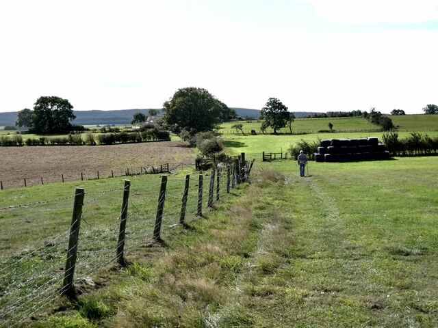
Windy Hill is traversed by a network of walking trails, allowing visitors to explore its natural beauty at their own pace. The hill's summit offers uninterrupted views of the Northumberland countryside, with landmarks such as Hadrian's Wall and the Cheviot Hills visible in the distance on clear days.
In addition to its natural beauty, Windy Hill holds historical significance. It is believed to have been an important vantage point during Roman times, providing strategic views of the surrounding area. Today, remnants of ancient settlements and archaeological sites can still be found on the hill, adding to its allure for history enthusiasts.
Overall, Windy Hill in Northumberland is a captivating destination that combines stunning natural landscapes, abundant wildlife, and a rich historical heritage, making it an ideal spot for outdoor enthusiasts and those seeking a tranquil escape in the heart of the North Pennines.
If you have any feedback on the listing, please let us know in the comments section below.
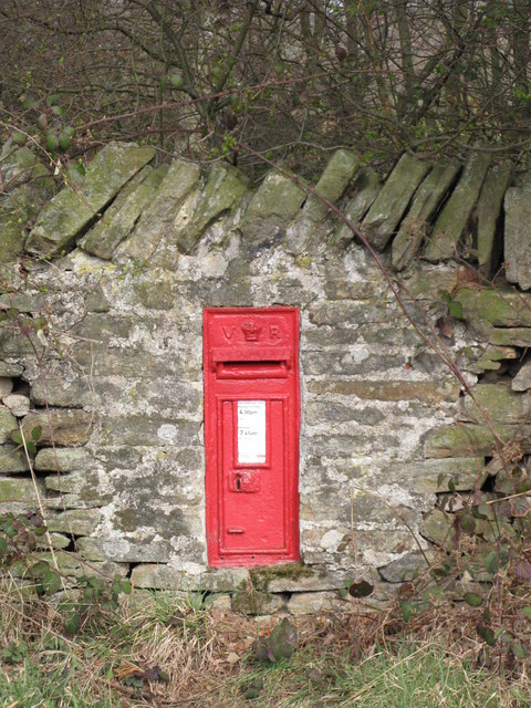
Windy Hill Images
Images are sourced within 2km of 54.93989/-2.0748609 or Grid Reference NY9560. Thanks to Geograph Open Source API. All images are credited.

Windy Hill is located at Grid Ref: NY9560 (Lat: 54.93989, Lng: -2.0748609)
Unitary Authority: Northumberland
Police Authority: Northumbria
What 3 Words
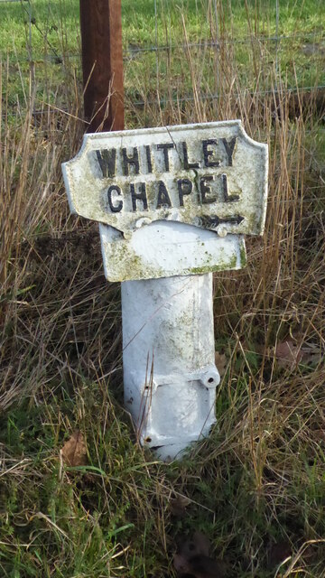
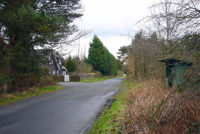
///heightens.hood.much. Near Hexham, Northumberland
Nearby Locations
Related Wikis

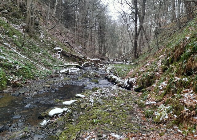
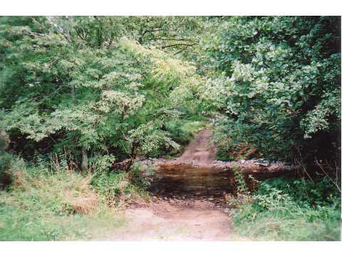
Rowley Burn (Northumberland)
Rowley Burn (also known as Rowley Brook and Ham Burn, NY 9358) is a stream in Northumberland, running around three miles south of Hexham before joining...

Hexhamshire Low Quarter
Hexhamshire Low Quarter is a former civil parish, now in the parish of Hexhamshire, in Northumberland, England. It was situated to the south of Hexham...

Juniper, Northumberland
Juniper is a hamlet in the English county of Northumberland. It is about 5 miles (8 km) due south of Hexham in the area known as Hexhamshire. There is...
Cambian Dilston College
Cambian Dilston College is a private further education college for those with special educational needs. It is located at Dilston Hall in Corbridge in...
Related Videos
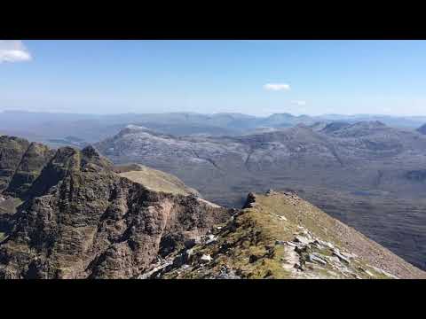
Liathach June 2018
A 360 view from a recent walk on my favourite mountain.

Camp Horizon Summer 2023
Watch the highlights of Camp Horizon's summer 2023!!!

Cubs & Scouts | Kingswood Adventure Camp 2021 | City of Newcastle District
Take a look at what 100 of our Cubs and Scouts got up to over at Dukeshouse Wood Adventure Centre - Along with 2 nights away, ...

Scotland's Trade Fair Product presentation
This is a wee video I pulled together for Scotland's Trade Fair where I refer to where I get the inspiration for the original prints I ...
Nearby Amenities
Located within 500m of 54.93989,-2.0748609Have you been to Windy Hill?
Leave your review of Windy Hill below (or comments, questions and feedback).