Boshboil Arm
Lake, Pool, Pond, Freshwater Marsh in Staffordshire
England
Boshboil Arm
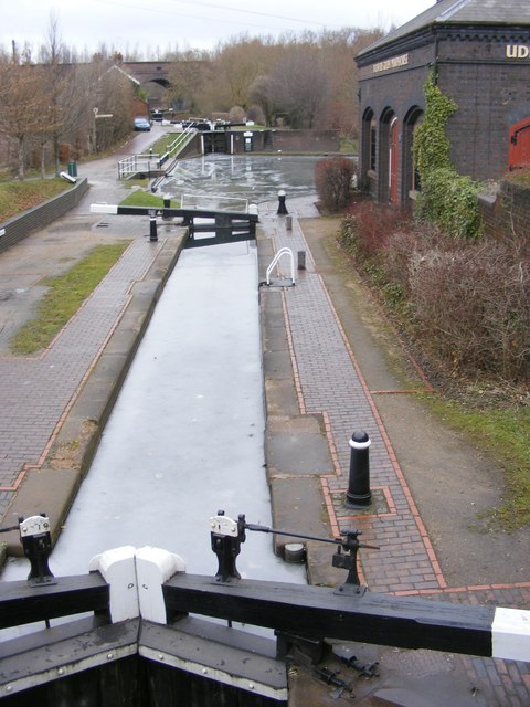
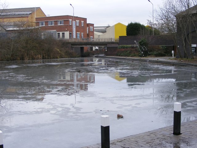
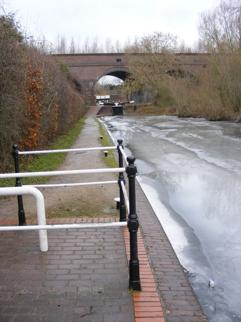
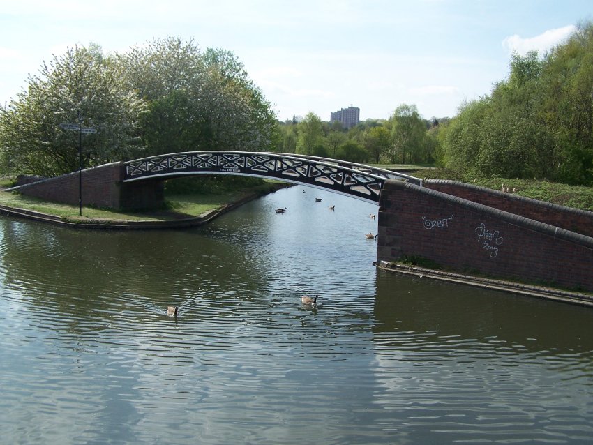
Boshboil Arm is a picturesque freshwater marsh located in Staffordshire, England. Situated amidst the scenic countryside, it offers a serene and natural environment for visitors to enjoy. With its tranquil waters and lush vegetation, Boshboil Arm is a haven for various plant and animal species.
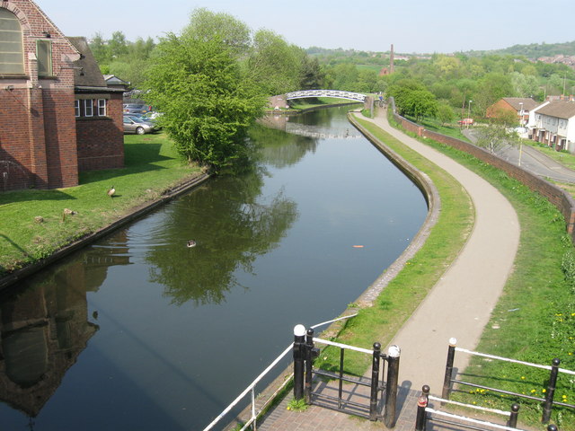
Covering an area of approximately 10 acres, this marshy landscape consists of a combination of lake, pool, and pond. The water in Boshboil Arm is predominantly freshwater, sourced from natural springs and rainwater. The lake is relatively shallow, with an average depth of around 4 feet, creating the perfect conditions for an array of aquatic life to thrive.
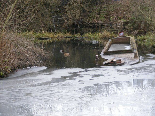
The marshland surrounding the water is abundant in diverse plant species. Bulrushes, reeds, and water lilies are common, creating a colorful and vibrant atmosphere. These plants provide shelter and nesting sites for numerous bird species, including ducks, herons, and reed warblers. The marsh is also home to several amphibians, such as frogs and newts, which can be spotted among the vegetation or in the water.
Boshboil Arm is a popular destination for nature enthusiasts and birdwatchers. Its tranquil setting and rich biodiversity make it an ideal spot for photography and peaceful walks. Visitors can explore the marshland on designated footpaths and enjoy the beauty of the surroundings. The marsh is well-maintained, with regular conservation efforts ensuring the preservation of its natural ecosystem.
Overall, Boshboil Arm in Staffordshire offers a delightful experience for those seeking a peaceful retreat amidst nature. Its diverse flora and fauna, combined with the serene waters, create a captivating environment that is both relaxing and visually stunning.
If you have any feedback on the listing, please let us know in the comments section below.
Boshboil Arm Images
Images are sourced within 2km of 52.491672/-2.0717994 or Grid Reference SO9588. Thanks to Geograph Open Source API. All images are credited.


Boshboil Arm is located at Grid Ref: SO9588 (Lat: 52.491672, Lng: -2.0717994)
Unitary Authority: Dudley
Police Authority: West Midlands
What 3 Words
///burst.dime.normal. Near Dudley, West Midlands
Nearby Locations
Related Wikis

Bumble Hole Local Nature Reserve
Bumble Hole Local Nature Reserve is situated in the Netherton area of Dudley Metropolitan Borough in the county of West Midlands, England. This former...
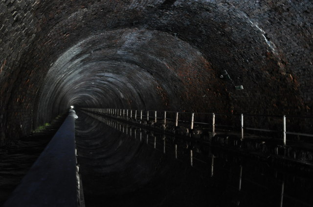
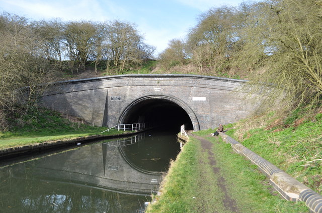
Bumble Hole Branch Canal
The present day Bumble Hole Branch Canal and Boshboil Branch surround Bumble Hole, a water-filled clay pit, in Bumble Hole and Warren's Hall Nature Reserve...

Bumble Hole line
The Bumble Hole line was a short railway located in Central England. It opened in 1878 to give Dudley a direct railway link with Old Hill, over a distance...

Windmill End railway station
Windmill End railway station was a station on the former Great Western Railway's Bumble Hole Line between Blowers Green and Old Hill. It opened in 1878...
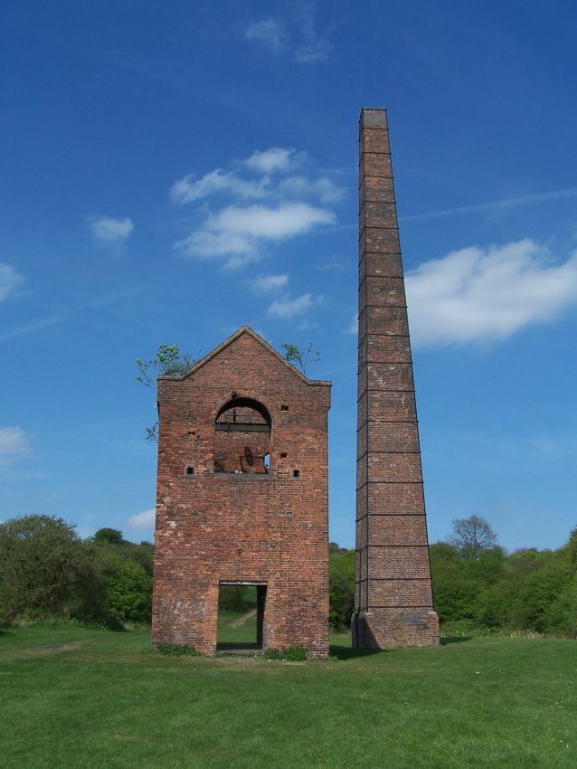
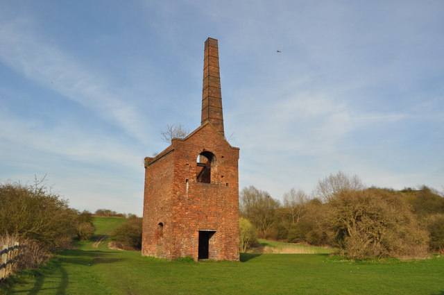
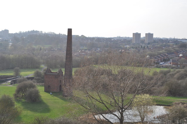
Cobb's Engine House
Cobb's Engine House (properly known as Windmill End Pumping Station) in Rowley Regis, West Midlands, England, is a scheduled ancient monument and a Grade...
Warren's Hall Country Park
Warren's Hall Country Park (also known as Warren's Hall Local Nature Reserve) is a local nature reserve situated in Sandwell Metropolitan Borough in the...

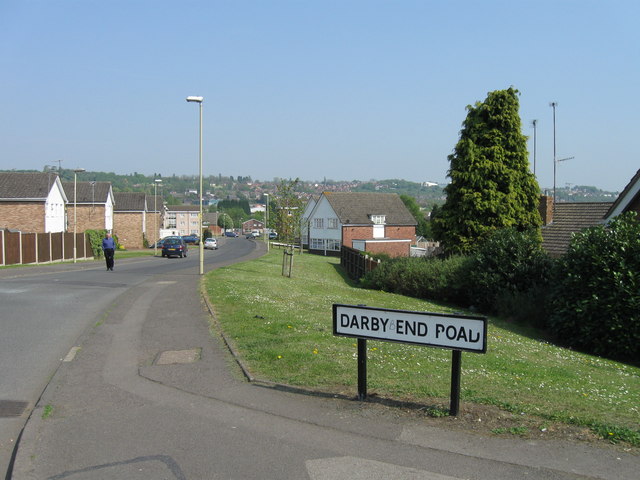
Darby End railway station
Darby End Halt was a station on the former Great Western Railway's Bumble Hole Line between Blowers Green and Old Hill. It opened in 1905 and closed...

Netherton, West Midlands
Netherton is an area of the Metropolitan Borough of Dudley, 1.5 miles (2 km) south of Dudley town centre in the West Midlands of England, but historically...
Nearby Amenities
Located within 500m of 52.491672,-2.0717994Have you been to Boshboil Arm?
Leave your review of Boshboil Arm below (or comments, questions and feedback).