Billhay Pond
Lake, Pool, Pond, Freshwater Marsh in Wiltshire
England
Billhay Pond
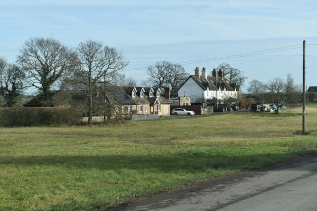
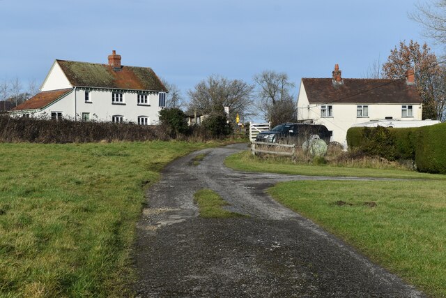
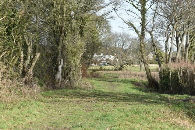
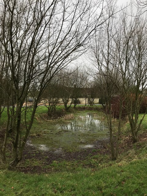
Billhay Pond is a small freshwater pond located in the county of Wiltshire, England. Nestled in a serene and picturesque countryside setting, the pond covers an area of approximately 2 acres and is surrounded by lush vegetation and tall reeds.
The pond is fed by a natural spring that flows into its southern end, ensuring a constant supply of freshwater. The water is clear and relatively shallow, with an average depth of around 3 feet. This makes it an ideal habitat for various aquatic plants and wildlife.
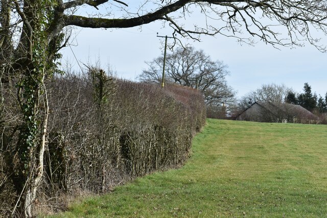
The pond is home to a diverse range of flora and fauna. Its margins are adorned with vibrant water lilies, rushes, and sedges, providing shelter and food for numerous amphibians, insects, and waterfowl. Visitors to Billhay Pond can expect to encounter a variety of bird species, such as mallards, coots, and herons, which use the pond for feeding and nesting.
The surrounding wetland area, known as a freshwater marsh, is an important habitat for several species of dragonflies and damselflies. These beautiful insects can often be seen darting across the water's surface, adding to the vibrant ecosystem of the pond.
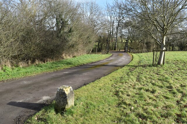
Billhay Pond offers a tranquil and peaceful environment for nature enthusiasts and is a popular spot for birdwatching and photography. Access to the pond is provided via a footpath that winds through the surrounding fields, allowing visitors to enjoy the scenic beauty of the countryside while appreciating the diverse wildlife that thrives in this small but significant freshwater ecosystem.
If you have any feedback on the listing, please let us know in the comments section below.
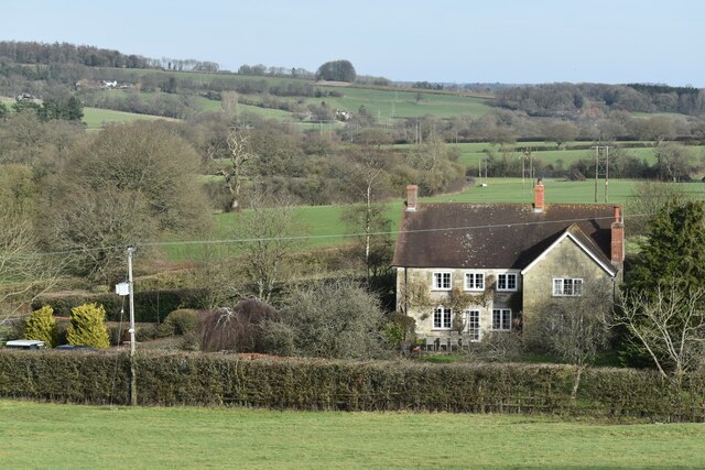
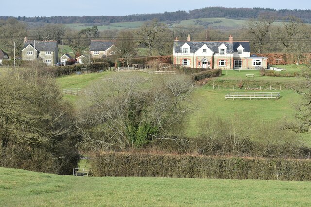
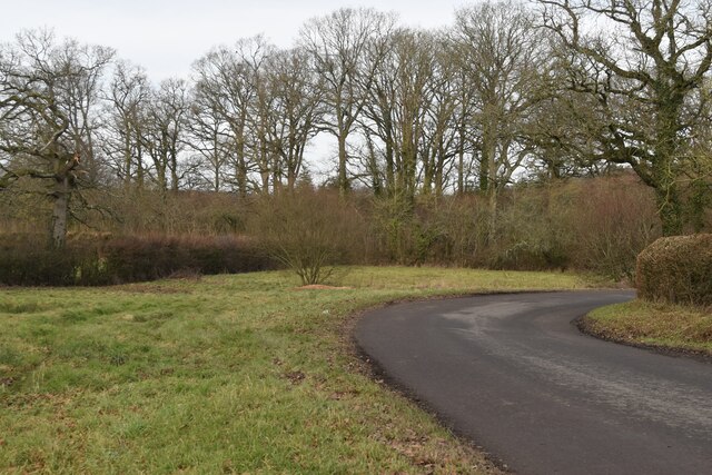
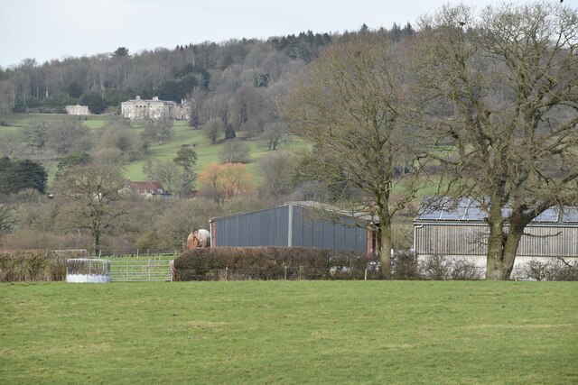
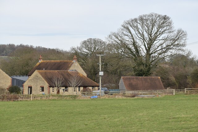
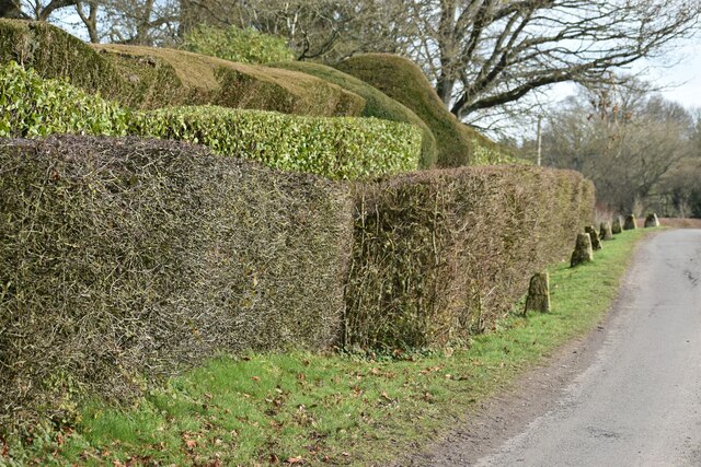
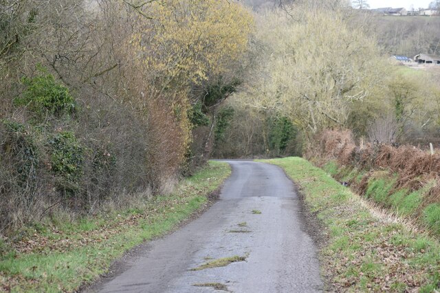
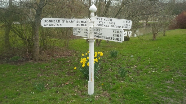
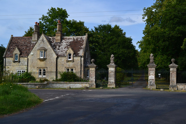
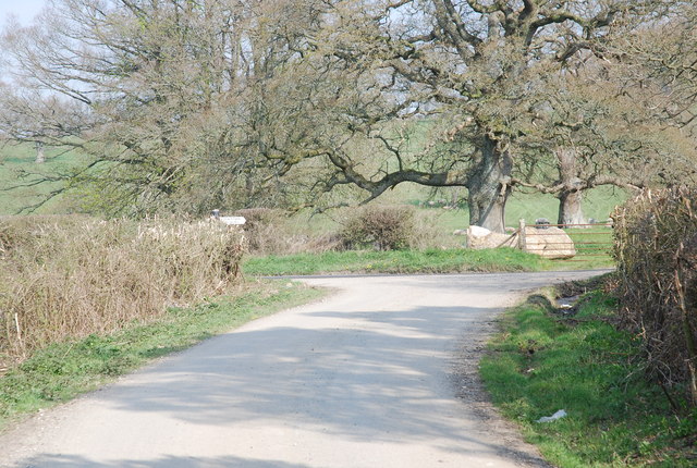
Billhay Pond Images
Images are sourced within 2km of 51.051644/-2.1509615 or Grid Reference ST8928. Thanks to Geograph Open Source API. All images are credited.
Billhay Pond is located at Grid Ref: ST8928 (Lat: 51.051644, Lng: -2.1509615)
Unitary Authority: Wiltshire
Police Authority: Wiltshire
What 3 Words
///beards.tank.spurted. Near Hindon, Wiltshire
Nearby Locations
Related Wikis

Pythouse
Pythouse, sometimes spelled Pyt House and pronounced pit-house, is a country house in southwest Wiltshire, in the west of England. It is about 2+1⁄2 miles...

Semley
Semley is a village and former civil parish, now in the parish of Sedgehill and Semley, in Wiltshire, England, about 3 miles (4.8 km) north-east of Shaftesbury...

Sedgehill and Semley
Sedgehill and Semley is a civil parish in the English county of Wiltshire, about 3 miles (4.8 km) north of the town of Shaftesbury on the main A350 road...

Gutch Common
Gutch Common (grid reference ST896259) is a 35.1 hectare biological Site of Special Scientific Interest in Wiltshire, notified in 1951. == Sources == Natural...
West Tisbury, Wiltshire
West Tisbury is a civil parish in southwest Wiltshire, England. The parish takes in the southwestern quarter of the village of Tisbury and extends about...

Semley railway station
Semley was a railway station in Wiltshire, England. It was served by trains on the West of England Main Line and was the railhead for the town of Shaftesbury...

East Knoyle
East Knoyle is a village and civil parish in Wiltshire, in the south-west of England, just west of the A350 and about 9 miles (14 km) south of Warminster...

East Knoyle War Memorial
The East Knoyle War Memorial is a monument that commemorates the lives of soldiers from East Knoyle, Wiltshire, England, who were killed in war. Unveiled...
Nearby Amenities
Located within 500m of 51.051644,-2.1509615Have you been to Billhay Pond?
Leave your review of Billhay Pond below (or comments, questions and feedback).