Pondhead Copse
Wood, Forest in Wiltshire
England
Pondhead Copse
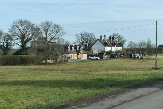
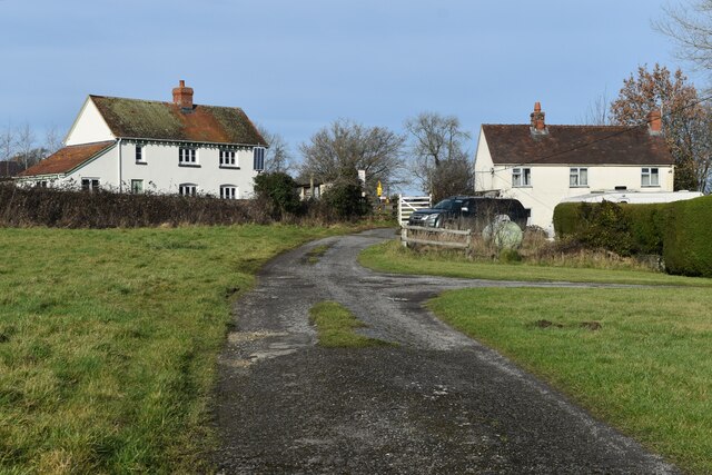
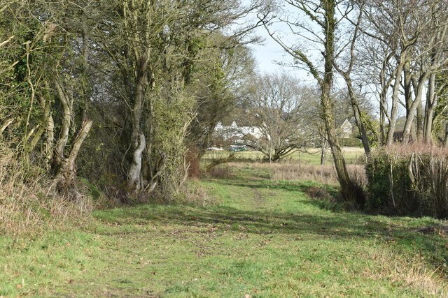
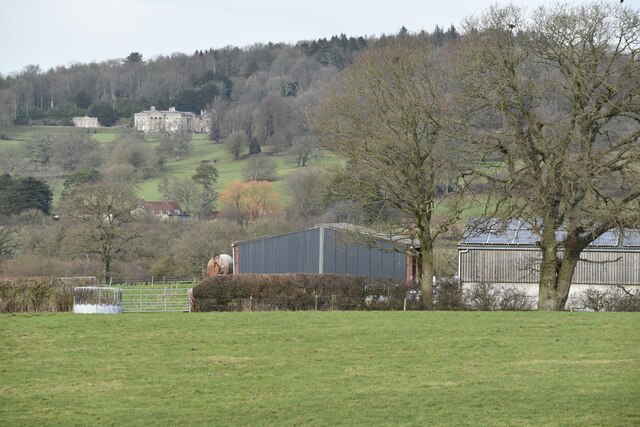
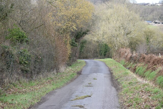
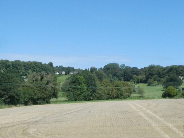
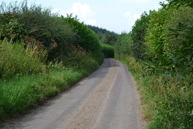
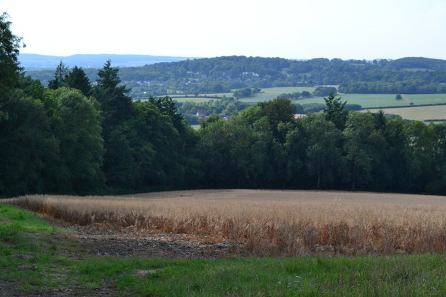
Pondhead Copse is a picturesque woodland located in the county of Wiltshire, England. Covering an area of approximately 50 acres, it is nestled in the heart of the South West region. The copse is known for its diverse range of tree species, making it a haven for nature enthusiasts and those seeking tranquility.
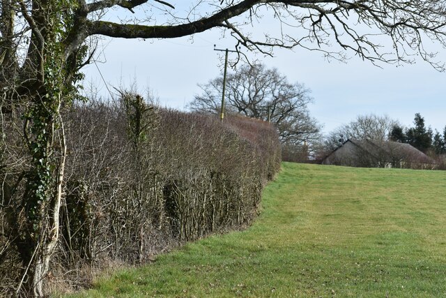
The woodland is primarily composed of deciduous trees, including oak, beech, and birch, which provide a stunning display of colors throughout the changing seasons. These trees create a dense canopy that filters the sunlight, creating a cool and shaded environment below. Beneath the towering giants, an array of wildflowers, ferns, and mosses thrive, adding to the copse's natural beauty.
Pondhead Copse is also home to a variety of wildlife species, making it a popular spot for birdwatching and animal spotting. Visitors may be fortunate enough to catch a glimpse of deer, badgers, foxes, and a multitude of bird species, including woodpeckers and tawny owls.
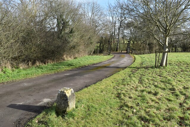
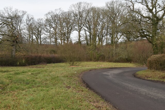
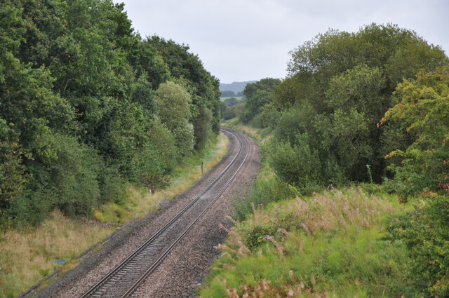
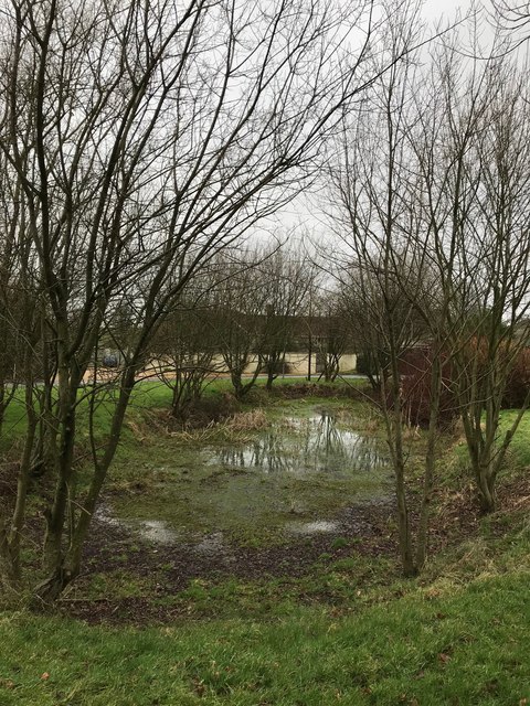
The copse is crisscrossed by a network of footpaths, allowing visitors to explore its enchanting surroundings. A small pond, as the name suggests, can be found within the woodland, providing a peaceful spot for reflection and a habitat for aquatic life.
Pondhead Copse is managed by local conservation groups, ensuring its preservation and the protection of its delicate ecosystem. It is open to the public, offering a tranquil escape from the hustle and bustle of everyday life and a chance to reconnect with nature in all its splendor.
If you have any feedback on the listing, please let us know in the comments section below.
Pondhead Copse Images
Images are sourced within 2km of 51.052456/-2.1487813 or Grid Reference ST8928. Thanks to Geograph Open Source API. All images are credited.
Pondhead Copse is located at Grid Ref: ST8928 (Lat: 51.052456, Lng: -2.1487813)
Unitary Authority: Wiltshire
Police Authority: Wiltshire
What 3 Words
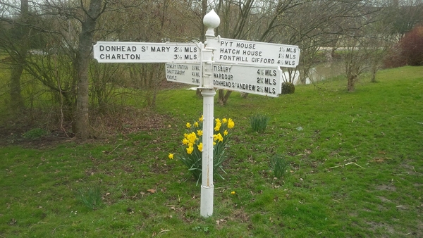
///gloom.homecare.purses. Near Hindon, Wiltshire
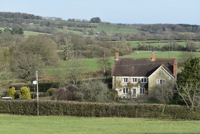
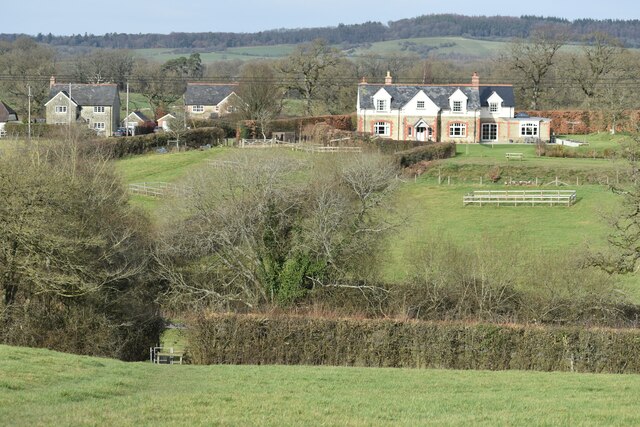
Nearby Locations
Related Wikis

Pythouse
Pythouse, sometimes spelled Pyt House and pronounced pit-house, is a country house in southwest Wiltshire, in the west of England. It is about 2+1⁄2 miles...

Semley
Semley is a village and former civil parish, now in the parish of Sedgehill and Semley, in Wiltshire, England, about 3 miles (4.8 km) north-east of Shaftesbury...
West Tisbury, Wiltshire
West Tisbury is a civil parish in southwest Wiltshire, England. The parish takes in the southwestern quarter of the village of Tisbury and extends about...

Gutch Common
Gutch Common (grid reference ST896259) is a 35.1 hectare biological Site of Special Scientific Interest in Wiltshire, notified in 1951. == Sources == Natural...

Sedgehill and Semley
Sedgehill and Semley is a civil parish in the English county of Wiltshire, about 3 miles (4.8 km) north of the town of Shaftesbury on the main A350 road...

Semley railway station
Semley was a railway station in Wiltshire, England. It was served by trains on the West of England Main Line and was the railhead for the town of Shaftesbury...

East Knoyle
East Knoyle is a village and civil parish in Wiltshire, in the south-west of England, just west of the A350 and about 9 miles (14 km) south of Warminster...

East Knoyle War Memorial
The East Knoyle War Memorial is a monument that commemorates the lives of soldiers from East Knoyle, Wiltshire, England, who were killed in war. Unveiled...
Related Videos

Why Jaclyn flies the Parajet Maverick Atom 80 paramotor
Paramotor pilot Jaclyn Weiss talks us through some of the reasons why she favours the Parajet Maverick fitted with the Vittorazi ...

Mako Jetboard & SoildWorks Partnership
Mako Boardsports exceptional team of engineers have brought the Mako Slingshot to life by utilizing the latest SolidWorks CAD ...
Have you been to Pondhead Copse?
Leave your review of Pondhead Copse below (or comments, questions and feedback).