Knypersley Reservoir
Lake, Pool, Pond, Freshwater Marsh in Staffordshire Staffordshire Moorlands
England
Knypersley Reservoir
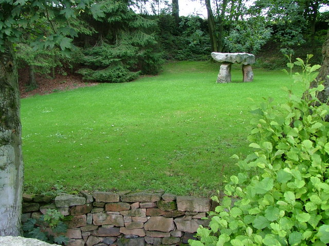
Knypersley Reservoir is a picturesque body of water located in Staffordshire, England. Covering an area of approximately 50 acres, it is classified as a reservoir and serves multiple purposes for the local community and wildlife.
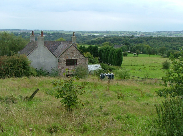
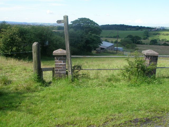
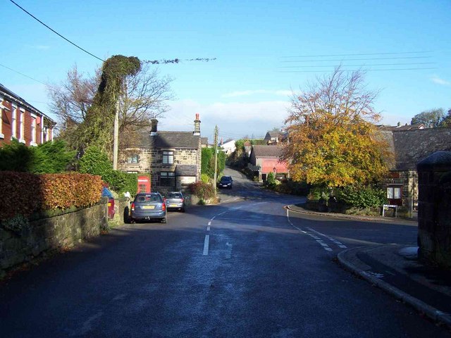
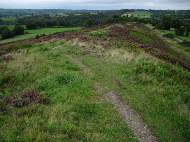
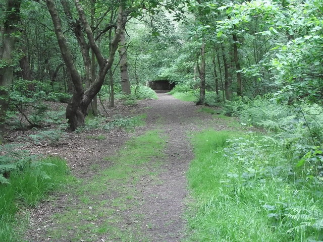
Originally built in the 1830s to supply water to the nearby Potteries towns, Knypersley Reservoir has since become a popular recreational spot. Surrounded by lush greenery and rolling hills, it offers a tranquil escape for visitors seeking to enjoy nature. The reservoir is accessible via footpaths that wind through the surrounding woodland, providing ample opportunities for walking, hiking, and birdwatching.
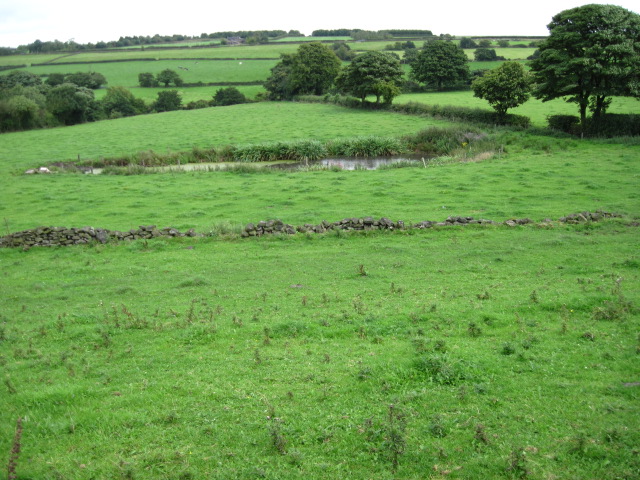
The reservoir itself is fed by natural springs and a small stream, ensuring a constant supply of fresh water. Its depth varies throughout the year, with the water level typically at its highest during the winter months. This fluctuation allows for a diverse ecosystem to thrive within its waters, supporting a variety of fish species such as carp, pike, and perch. The reservoir also attracts a range of birdlife, including swans, ducks, and herons, making it a popular spot for bird enthusiasts.
In addition to its recreational and ecological value, Knypersley Reservoir plays a crucial role in flood prevention for the surrounding area. Its capacity to store excess water during heavy rainfall helps to regulate water levels in nearby rivers and prevent flooding downstream.
Overall, Knypersley Reservoir offers a beautiful natural environment that serves as a haven for both wildlife and visitors, providing a peaceful escape from the hustle and bustle of urban life.
If you have any feedback on the listing, please let us know in the comments section below.
Knypersley Reservoir Images
Images are sourced within 2km of 53.094001/-2.1580235 or Grid Reference SJ8955. Thanks to Geograph Open Source API. All images are credited.


Knypersley Reservoir is located at Grid Ref: SJ8955 (Lat: 53.094001, Lng: -2.1580235)
Administrative County: Staffordshire
District: Staffordshire Moorlands
Police Authority: Staffordshire
What 3 Words
///kick.workbench.footpath. Near Biddulph, Staffordshire
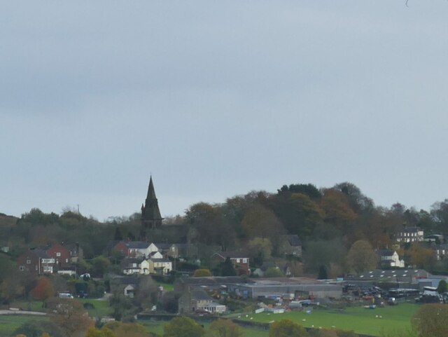
Nearby Locations
Related Wikis

Knypersley Reservoir
Knypersley Reservoir near Biddulph, Staffordshire, England, was built in 1827 to supply water to the Caldon Canal, along with two others at Stanley Pool...

Biddulph High School
Biddulph High School is a mixed upper school (termed 'high school') and sixth form located in the Knypersley area of Biddulph in the English county of...
Ridgeway, Staffordshire
Ridgeway is a hamlet on the boundary of Brown Edge and Stoke-on-Trent in Staffordshire, England. == References ==
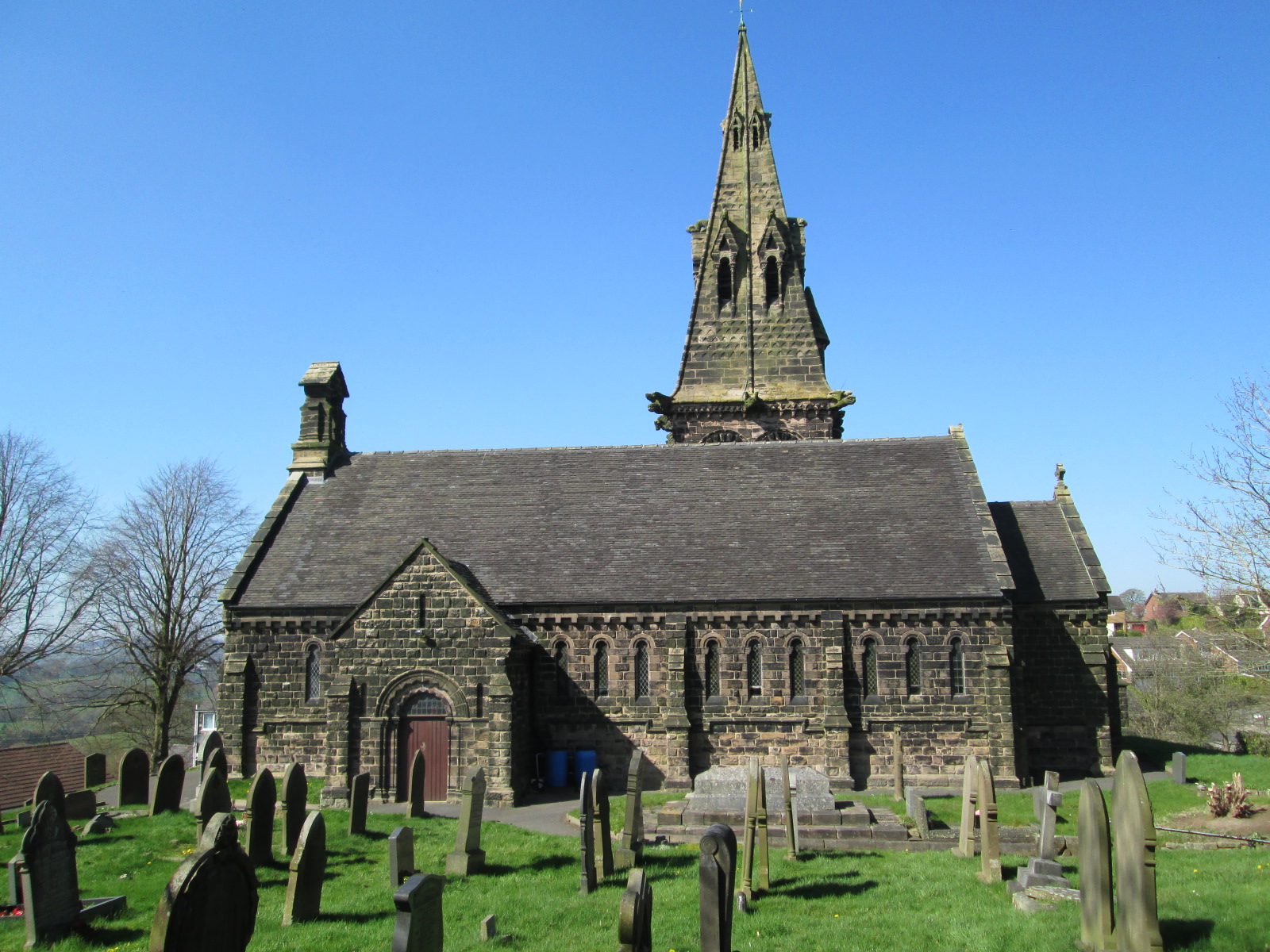
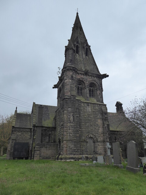
St Anne's Church, Brown Edge
St Anne's Church is an Anglican church in Brown Edge, Staffordshire, England, and in the Diocese of Lichfield. The building is Grade II listed. == History... ==
Nearby Amenities
Located within 500m of 53.094001,-2.1580235Have you been to Knypersley Reservoir?
Leave your review of Knypersley Reservoir below (or comments, questions and feedback).