Lime Kiln Basin
Lake, Pool, Pond, Freshwater Marsh in Staffordshire Stafford
England
Lime Kiln Basin

Lime Kiln Basin, located in Staffordshire, is a picturesque freshwater marsh encompassing a serene lake, a tranquil pool, and a charming pond. This natural haven offers visitors a peaceful retreat amidst the hustle and bustle of modern life.
The centerpiece of Lime Kiln Basin is the expansive lake, which spans across the landscape, reflecting the surrounding lush greenery and clear blue skies. Its calm waters provide a perfect spot for fishing enthusiasts to cast their lines and try their luck at catching a variety of freshwater fish species.
Adjacent to the lake is a smaller pool, offering a more secluded and intimate setting. Surrounded by tall reeds and water lilies, this pool attracts a diverse range of bird species, making it a haven for birdwatchers and nature enthusiasts. Visitors can observe graceful swans gliding across the water, while ducks and geese paddle along the pool's edges.
Tucked away in a hidden corner of the basin is a charming pond, adorned with vibrant aquatic plants and blooming flowers. This pond serves as a sanctuary for various amphibians and insects, creating a thriving ecosystem of biodiversity. Frogs can be spotted leaping from lily pad to lily pad, while dragonflies hover above the water's surface.
Lime Kiln Basin, with its diverse aquatic habitats, not only provides a scenic backdrop for visitors but also plays a vital role in supporting local wildlife. It serves as a breeding ground for numerous species and offers a valuable source of sustenance for the surrounding flora and fauna.
If you have any feedback on the listing, please let us know in the comments section below.
Lime Kiln Basin Images
Images are sourced within 2km of 52.907126/-2.1571185 or Grid Reference SJ8934. Thanks to Geograph Open Source API. All images are credited.


Lime Kiln Basin is located at Grid Ref: SJ8934 (Lat: 52.907126, Lng: -2.1571185)
Administrative County: Staffordshire
District: Stafford
Police Authority: Staffordshire
What 3 Words
///willpower.mistress.regarding. Near Stone, Staffordshire
Nearby Locations
Related Wikis

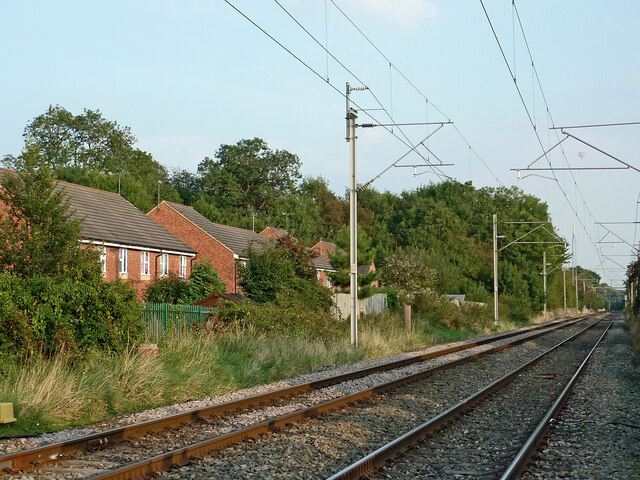
Stone railway station
Stone railway station serves the market town of Stone, Staffordshire, England. The station is located on a junction of the Colwich to Manchester spur of...

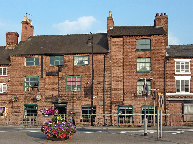
Stone, Staffordshire
Stone is a market town and civil parish in Staffordshire, England, situated approximately 7 miles (11 km) north of the county town of Stafford, 7 miles...
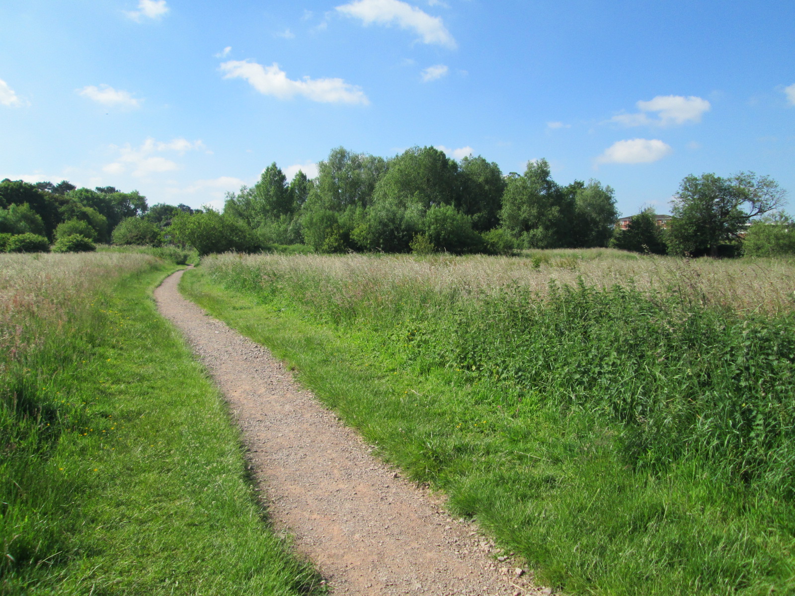
Stone Meadows
Stone Meadows is a local nature reserve adjacent to Stone, in Staffordshire, England. There are three separate meadows by the River Trent. Goodall Meadow...

Stone Priory
Stone Priory was a priory founded at Stone in Staffordshire, England, in about 670 AD. The priory's church was dedicated to Saint Mary and Saint Wulfad...
Nearby Amenities
Located within 500m of 52.907126,-2.1571185Have you been to Lime Kiln Basin?
Leave your review of Lime Kiln Basin below (or comments, questions and feedback).