Knypersley Wood
Wood, Forest in Staffordshire Staffordshire Moorlands
England
Knypersley Wood
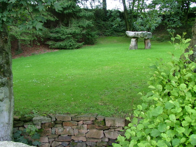
Knypersley Wood is a beautiful woodland located in Staffordshire, England. Covering an area of approximately 200 acres, it is a popular destination for nature enthusiasts and outdoor lovers alike. The wood is situated on the outskirts of the village of Knypersley, near the town of Biddulph.
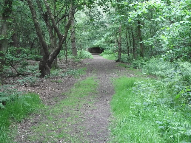
The woodland is predominantly made up of deciduous trees, including oak, beech, and birch, which create a vibrant and diverse ecosystem. The dense canopy provides a sheltered habitat for a wide range of bird species, including woodpeckers, thrushes, and owls, making it a haven for birdwatchers.
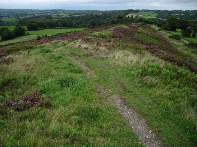
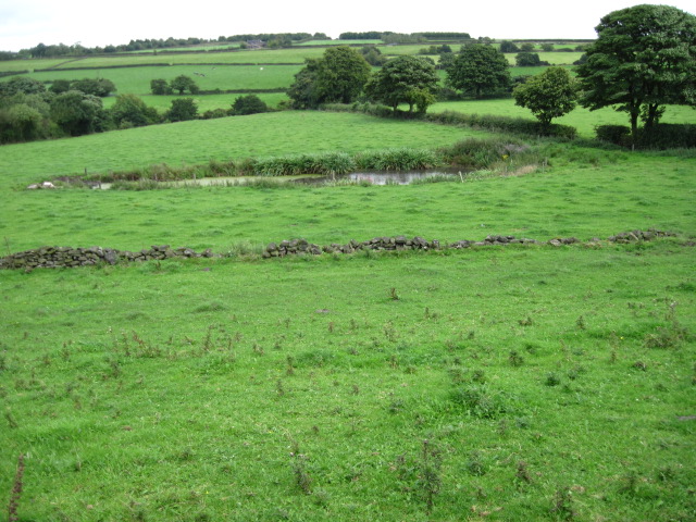
Knypersley Wood is crisscrossed with a series of well-maintained footpaths, allowing visitors to explore and enjoy the natural surroundings. These paths lead to various attractions within the wood, including a picturesque lake known as Knypersley Pool. The pool is home to a variety of wildlife, including ducks, geese, and swans, and offers a tranquil spot for picnics and relaxation.
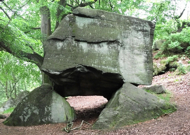
In addition to its natural beauty, Knypersley Wood also has a rich historical significance. The wood is believed to have been used for charcoal production during the medieval period, and remnants of charcoal pits can still be seen today. There are also several archaeological sites within the wood, including the remains of a Roman road.
Overall, Knypersley Wood is a stunning and diverse woodland, offering a range of recreational activities and opportunities for nature exploration. Its combination of natural beauty and historical significance make it a must-visit destination for locals and tourists alike.
If you have any feedback on the listing, please let us know in the comments section below.
Knypersley Wood Images
Images are sourced within 2km of 53.096539/-2.1626473 or Grid Reference SJ8955. Thanks to Geograph Open Source API. All images are credited.


Knypersley Wood is located at Grid Ref: SJ8955 (Lat: 53.096539, Lng: -2.1626473)
Administrative County: Staffordshire
District: Staffordshire Moorlands
Police Authority: Staffordshire
What 3 Words
///crown.warthog.script. Near Biddulph, Staffordshire
Nearby Locations
Related Wikis

Knypersley Reservoir
Knypersley Reservoir near Biddulph, Staffordshire, England, was built in 1827 to supply water to the Caldon Canal, along with two others at Stanley Pool...

Biddulph High School
Biddulph High School is a mixed upper school (termed 'high school') and sixth form located in the Knypersley area of Biddulph in the English county of...
Knypersley Hall
Knypersley Hall is an 18th-century Georgian style country mansion at Biddulph, Staffordshire, England. It is protected as a Grade II* listed building....
Tunstall Road
Tunstall Road, also known as Victoria and Knypersley Social Welfare Centre, is a cricket ground in Knypersley, Staffordshire. The ground is located along...

Black Bull railway station
Black Bull railway station is a disused railway station in Staffordshire, England. The station was opened in 1864 by the North Staffordshire Railway on...
Ridgeway, Staffordshire
Ridgeway is a hamlet on the boundary of Brown Edge and Stoke-on-Trent in Staffordshire, England. == References ==
Braddocks Hay
Braddocks Hay is a village in Staffordshire, England. Population details for the 2011 census can be found under Biddulph
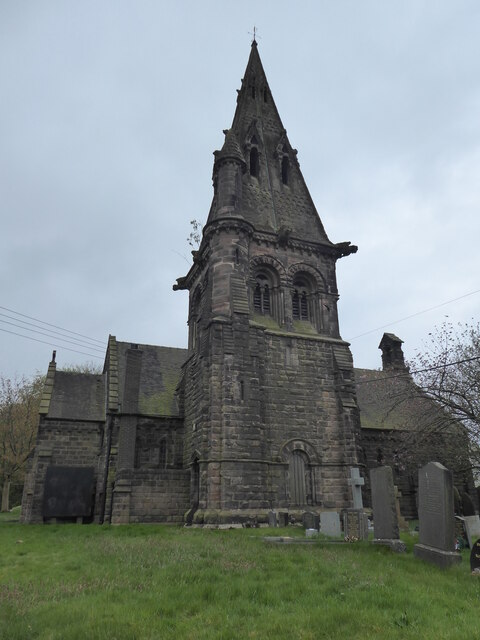
St Anne's Church, Brown Edge
St Anne's Church is an Anglican church in Brown Edge, Staffordshire, England, and in the Diocese of Lichfield. The building is Grade II listed. == History... ==
Nearby Amenities
Located within 500m of 53.096539,-2.1626473Have you been to Knypersley Wood?
Leave your review of Knypersley Wood below (or comments, questions and feedback).