Billhay Ashes

Wood, Forest in Wiltshire

England

Billhay Ashes

Church Green, Semley
Church Green, Semley Credit: David Martin

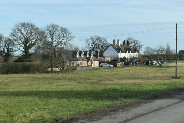
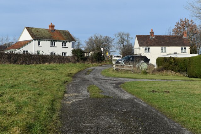
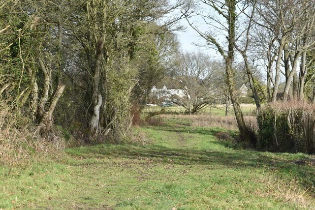
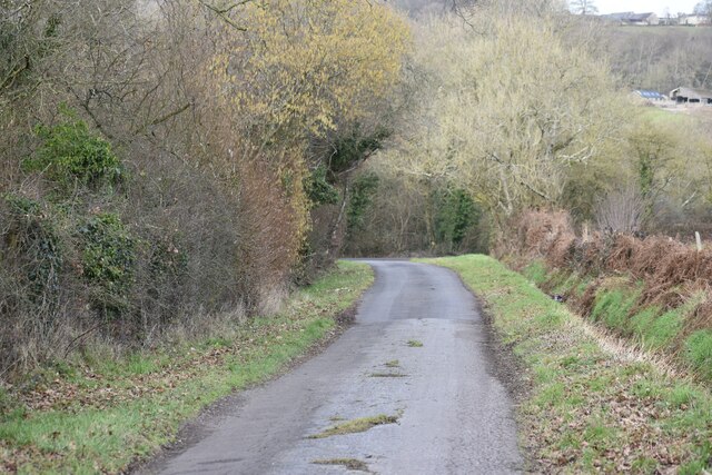
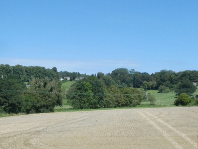
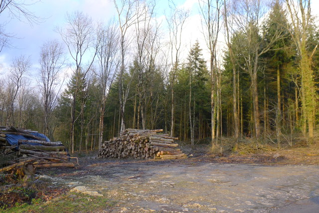
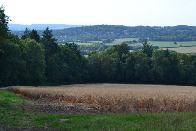
Billhay Ashes is a small woodland located in the county of Wiltshire, England. Covering an area of approximately 200 acres, it is a serene and picturesque forest that boasts a variety of tree species and an abundance of wildlife.

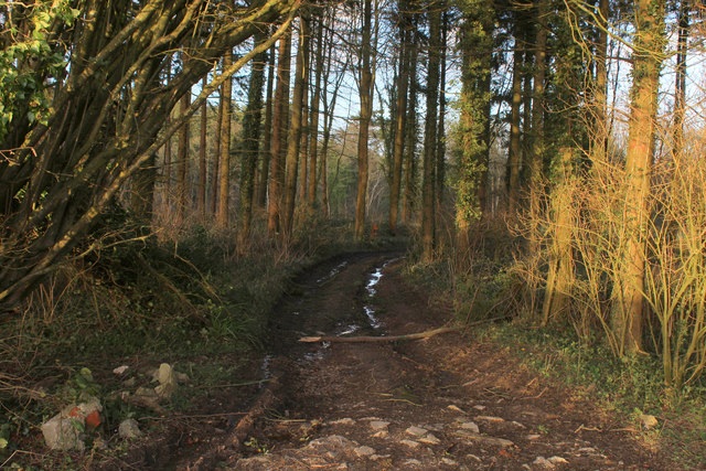
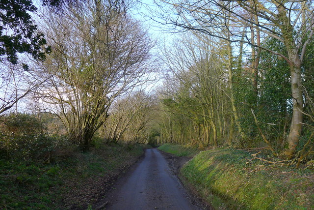
The woodland is primarily composed of ash trees, hence its name, which provide a dense canopy and create a tranquil and shaded environment. Alongside the ash trees, there are also several other tree species present, including oak, birch, and beech trees, adding to the diversity of the woodland.

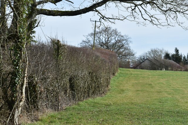
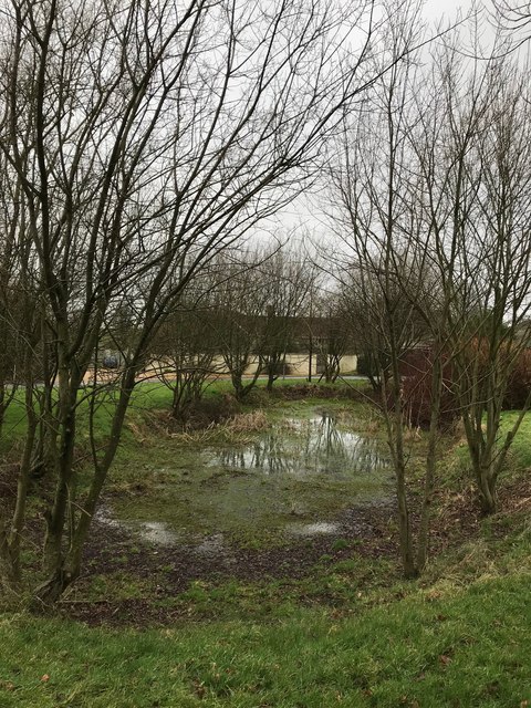
Billhay Ashes is known for its rich biodiversity, providing a habitat for numerous animal and plant species. It is home to a wide range of bird species, such as woodpeckers, thrushes, and owls, which can often be heard and seen throughout the forest. Small mammals like squirrels, foxes, and rabbits can also be spotted, along with various insects and butterflies.

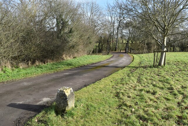
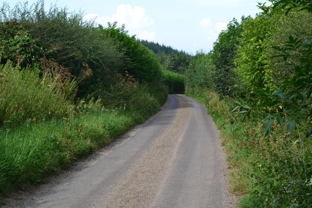
The woodland offers a network of footpaths and trails, enabling visitors to explore its beauty and enjoy peaceful walks. The paths wind through the forest, passing by tranquil streams and clearings, providing ample opportunities for nature enthusiasts and photographers to capture the beauty of the surroundings.

Billhay Ashes is a popular destination for both locals and tourists seeking tranquility and a connection with nature. Its natural beauty and diverse wildlife make it an ideal location for hiking, birdwatching, or simply enjoying a peaceful picnic amidst the serene surroundings.

If you have any feedback on the listing, please let us know in the comments section below.

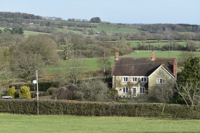
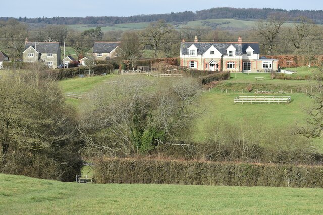
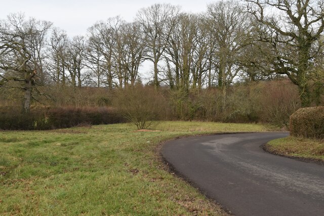
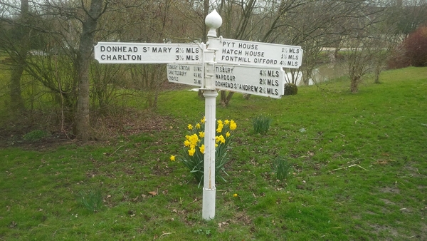
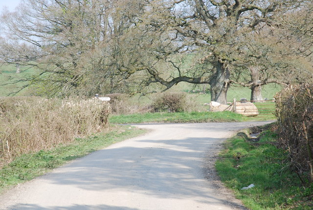
Billhay Ashes Images

Images are sourced within 2km of 51.056365/-2.150877 or Grid Reference ST8928. Thanks to Geograph Open Source API. All images are credited.

Church Green, Semley
Track to Semley Gates Crossing The white gate of the level crossing can just be seen between the houses.
Track to Semley Gates Crossing
The white gate of the level crossing can just be seen between the houses.
Footpath and drive to The Grange, Semley The footpath turns off to the left by the post and crosses the stream by a small bridge.
Footpath and drive to The Grange, Semley
The footpath turns off to the left by the post and crosses the stream by a small bridge.
Field edge footpath near Glebe Farm
Footpath behind the school at Semley
View over West Hayes, Semley
View across fields to Kirton Farm
Bend in the road at Semley Common The common is a small strip of land on either side of the road at this point
Bend in the road at Semley Common
The common is a small strip of land on either side of the road at this point
Lane north of Broad Oak Farm
Fields near West Hatch
Track leading to White Mead Wood
Entering the woods surrounding Beacon Hill As it's getting late, we shortcut the Wessex Ridgeway path by taking this minor road straight to our overnight stop in Hindon.
Entering the woods surrounding Beacon Hill
As it's getting late, we shortcut the Wessex Ridgeway path by taking this minor road straight to our overnight stop in Hindon.
Wood piles in Mockeny Wood
Lane north of Pythouse Plantation
Field north of Pythouse Plantation
Pond at Semley Green
Old Milestone by the A350, Shaftesbury Road, East Knoyle parish Carved stone post by the A350, in parish of East Knoyle (Salisbury District), Shaftesbury Road, The Turnpike, by Southernmost unnamed cottage in hedgerow on bend, on East side of road. Shaston stone, erected by the Shaftesbury & New Road to Blandford turnpike trust in the 19th century. 

Inscription reads:-
: EAST KNOYLE (vertical) : : IV / Miles from / SHASTON : : (not possible to see) :
Carved benchmark lower front middle.

Grade II listed.  
List Entry Number: 1131144 <span class="nowrap"><a title="https://historicengland.org.uk/listing/the-list/list-entry/1131144" rel="nofollow ugc noopener" href="https://historicengland.org.uk/listing/the-list/list-entry/1131144">Link</a><img style="margin-left:2px;" alt="External link" title="External link - shift click to open in new window" src="https://s1.geograph.org.uk/img/external.png" width="10" height="10"/></span>

Milestone Society National ID: WI_WMSH11
Old Milestone by the A350, Shaftesbury Road, East Knoyle parish
Carved stone post by the A350, in parish of East Knoyle (Salisbury District), Shaftesbury Road, The Turnpike, by Southernmost unnamed cottage in hedgerow on bend, on East side of road. Shaston stone, erected by the Shaftesbury & New Road to Blandford turnpike trust in the 19th century. Inscription reads:- : EAST KNOYLE (vertical) : : IV / Miles from / SHASTON : : (not possible to see) : Carved benchmark lower front middle. Grade II listed. List Entry Number: 1131144 LinkExternal link Milestone Society National ID: WI_WMSH11
Old Direction Sign - Signpost in Semley Ogee finial - 4 arms; Wilts finial by the UC road, in parish of Sedgehill and Semley (Salisbury District), Semley, opposite North West entrance to churchyard, on village green, by pond.

Grade II listed.
List Entry Number: 1318800 <span class="nowrap"><a title="https://historicengland.org.uk/listing/the-list/list-entry/1318800" rel="nofollow ugc noopener" href="https://historicengland.org.uk/listing/the-list/list-entry/1318800">Link</a><img style="margin-left:2px;" alt="External link" title="External link - shift click to open in new window" src="https://s1.geograph.org.uk/img/external.png" width="10" height="10"/></span>

Surveyed

Milestone Society National ID: WI_ST8926
Old Direction Sign - Signpost in Semley
Ogee finial - 4 arms; Wilts finial by the UC road, in parish of Sedgehill and Semley (Salisbury District), Semley, opposite North West entrance to churchyard, on village green, by pond. Grade II listed. List Entry Number: 1318800 LinkExternal link Surveyed Milestone Society National ID: WI_ST8926
Show me another place!

Billhay Ashes is located at Grid Ref: ST8928 (Lat: 51.056365, Lng: -2.150877)

Unitary Authority: Wiltshire

Police Authority: Wiltshire

What 3 Words

///bookings.madness.gravel. Near Hindon, Wiltshire

Related Wikis

Pythouse

Pythouse, sometimes spelled Pyt House and pronounced pit-house, is a country house in southwest Wiltshire, in the west of England. It is about 2+1⁄2 miles...

Semley

Semley is a village and former civil parish, now in the parish of Sedgehill and Semley, in Wiltshire, England, about 3 miles (4.8 km) north-east of Shaftesbury...

West Tisbury, Wiltshire

West Tisbury is a civil parish in southwest Wiltshire, England. The parish takes in the southwestern quarter of the village of Tisbury and extends about...

Sedgehill and Semley

Sedgehill and Semley is a civil parish in the English county of Wiltshire, about 3 miles (4.8 km) north of the town of Shaftesbury on the main A350 road...

East Knoyle War Memorial

The East Knoyle War Memorial is a monument that commemorates the lives of soldiers from East Knoyle, Wiltshire, England, who were killed in war. Unveiled...

East Knoyle

East Knoyle is a village and civil parish in Wiltshire, in the south-west of England, just west of the A350 and about 9 miles (14 km) south of Warminster...

St. Mary's Church, East Knoyle

St. Mary's Church is a Church of England parish church in East Knoyle, Wiltshire, England. == History == The Church of England Parish Church of St Mary...

Gutch Common

Gutch Common (grid reference ST896259) is a 35.1 hectare biological Site of Special Scientific Interest in Wiltshire, notified in 1951. == Sources == Natural...

Nearby Amenities

Located within 500m of 51.056365,-2.150877
Post Box
Operator: Royal Mail
Post Box Type: lamp
Ref: SP3 221
Royal Cypher: EIIR
Royal Cypher Wikidata: Q33102113
Lat/Long: 51.0606476/-2.1521187
The data included in this document is from www.openstreetmap.org. The data is made available under ODbL.

Have you been to Billhay Ashes?

Leave your review of Billhay Ashes below (or comments, questions and feedback).