Linley Wood

Wood, Forest in Wiltshire

England

Linley Wood

Church Green, Semley
Church Green, Semley Credit: David Martin

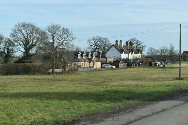
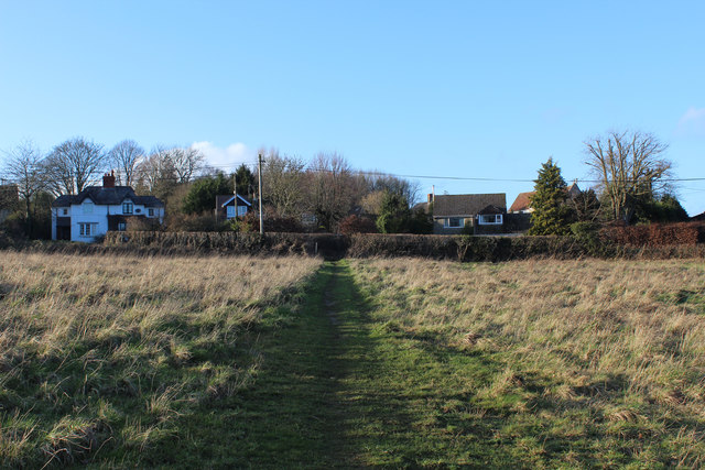
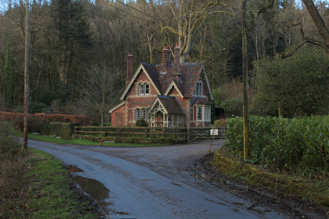
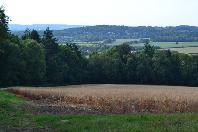
Linley Wood is a picturesque forest located in the county of Wiltshire, England. Spread across a vast expanse of land, this woodland area is known for its natural beauty and diverse range of plant and animal species. It is named after the prominent presence of wood and trees throughout the area.

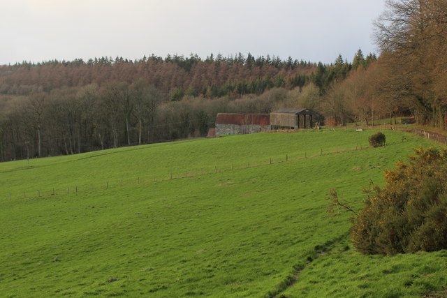
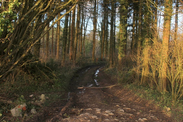
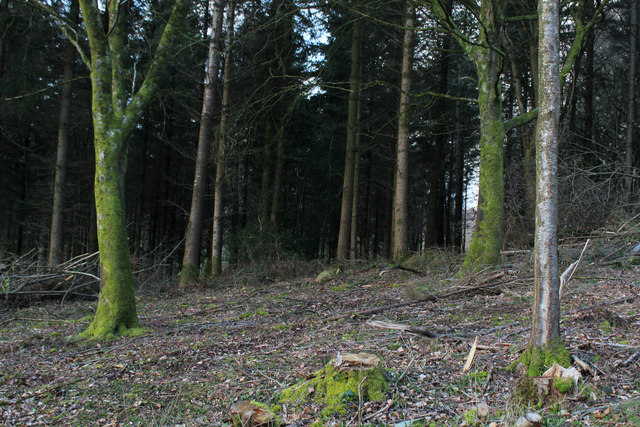
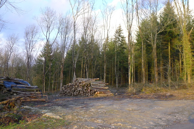
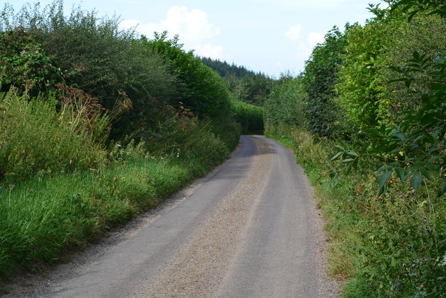
The forest of Linley Wood is characterized by its dense foliage, consisting mainly of oak, beech, and birch trees. These tall and majestic trees create a canopy that provides shade and a serene atmosphere for visitors to enjoy. The forest floor is covered with a carpet of vibrant wildflowers, adding bursts of color to the landscape.

The woodland is home to a wide variety of wildlife, including deer, foxes, rabbits, and numerous bird species. Nature enthusiasts and birdwatchers flock to Linley Wood to witness the beautiful and rare birds that inhabit the forest, such as the great spotted woodpecker and the tawny owl.

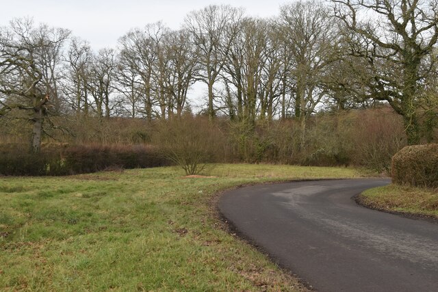
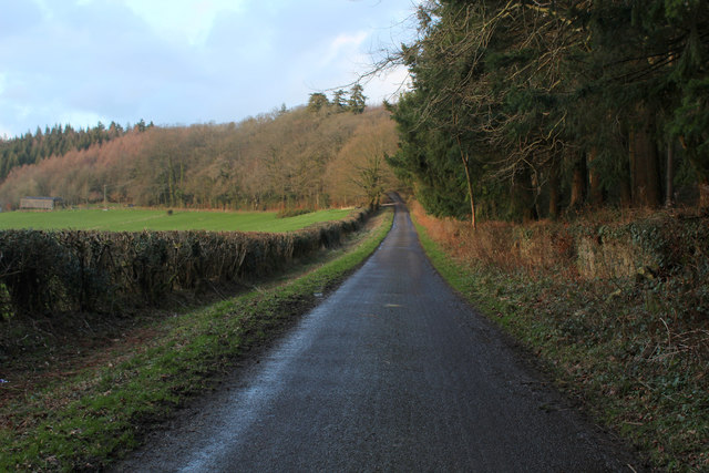
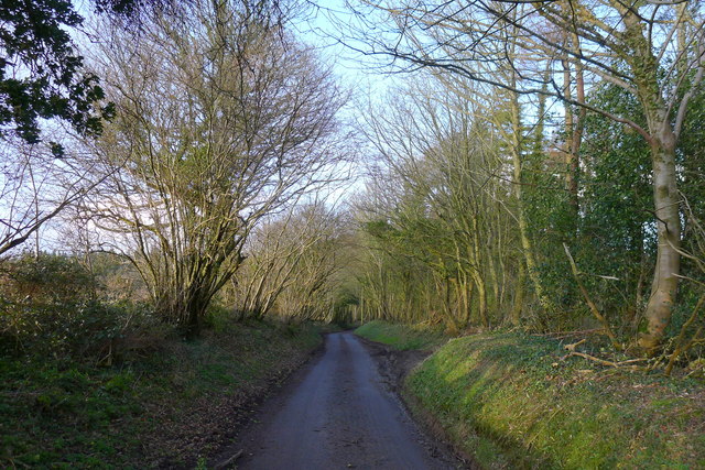
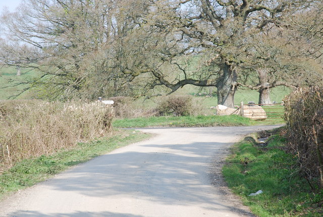
Visitors to Linley Wood can explore the forest via a network of well-maintained walking trails. These trails wind through the woodland, offering breathtaking views of the surrounding countryside. Along the way, there are several picnic spots and benches where visitors can rest and take in the tranquility of the forest.

Linley Wood is a haven for nature lovers and provides a peaceful escape from the hustle and bustle of daily life. Its natural beauty and diverse ecosystem make it a popular destination for those seeking to immerse themselves in the wonders of the British countryside.

If you have any feedback on the listing, please let us know in the comments section below.
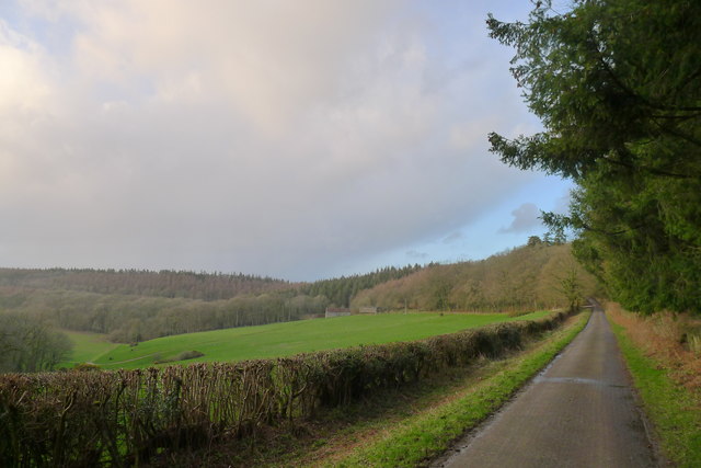
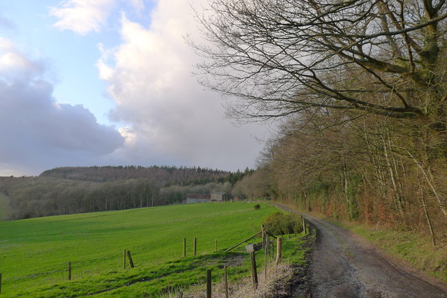
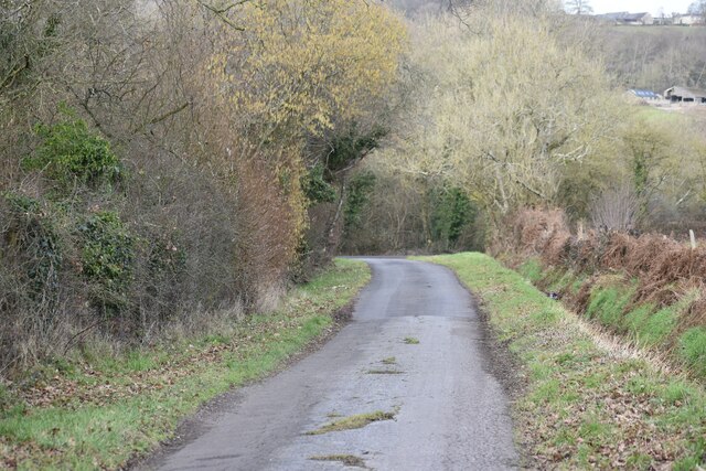
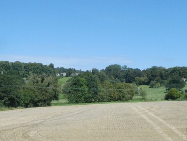
Linley Wood Images

Images are sourced within 2km of 51.058798/-2.1474033 or Grid Reference ST8928. Thanks to Geograph Open Source API. All images are credited.

Church Green, Semley
Bend in the road at Semley Common The common is a small strip of land on either side of the road at this point
Bend in the road at Semley Common
The common is a small strip of land on either side of the road at this point
Ruddlemoor Farm Almost completely surrounded by forest
Ruddlemoor Farm
Almost completely surrounded by forest
Minor Road between Newtown and Hindon For most of its length this quiet lane runs through shady woodland
Minor Road between Newtown and Hindon
For most of its length this quiet lane runs through shady woodland
Minor road around the west flank of Beacon Hill Looking towards Ruddlemoor farm in the middle distance.
Minor road around the west flank of Beacon Hill
Looking towards Ruddlemoor farm in the middle distance.
Track to Ruddlemoor Farm
Lane north of Broad Oak Farm
Fields near West Hatch
Newtown: a hidden phone box This telephone box has been rather overcome by the adjacent foliage in the 8 years since it was photographed here: <a href="https://www.geograph.org.uk/photo/1201067">ST9128 : Telephone box, Newtown</a>

The ivy has also made its way into the box from the far corner, not via the door which seems to be jammed half-open.

A notice in the box, saying that BT propose to remove it as it isn't sufficiently used, is dated 2009 although the phone apparatus is still in the box.

A postbox in a pillar can be seen to the far left.
Newtown: a hidden phone box
This telephone box has been rather overcome by the adjacent foliage in the 8 years since it was photographed here: ST9128 : Telephone box, Newtown The ivy has also made its way into the box from the far corner, not via the door which seems to be jammed half-open. A notice in the box, saying that BT propose to remove it as it isn't sufficiently used, is dated 2009 although the phone apparatus is still in the box. A postbox in a pillar can be seen to the far left.
Wessex Ridgeway heading towards Newtown The Wessex Ridgeway is a 136-mile long-distance footpath which runs from Marlborough in Wiltshire to Lyme Regis in Dorset. It was opened in 1994. 

Wikipedia entry: <span class="nowrap"><a title="https://en.wikipedia.org/wiki/Wessex_Ridgeway" rel="nofollow ugc noopener" href="https://en.wikipedia.org/wiki/Wessex_Ridgeway">Link</a><img style="margin-left:2px;" alt="External link" title="External link - shift click to open in new window" src="https://s1.geograph.org.uk/img/external.png" width="10" height="10"/></span>
Wessex Ridgeway heading towards Newtown
The Wessex Ridgeway is a 136-mile long-distance footpath which runs from Marlborough in Wiltshire to Lyme Regis in Dorset. It was opened in 1994. Wikipedia entry: LinkExternal link
West Gate Lodge On the minor forest road that runs northwards to Hindon.
I imagine this building guarded the western entrance to Fonthill Abbey at one time.
West Gate Lodge
On the minor forest road that runs northwards to Hindon. I imagine this building guarded the western entrance to Fonthill Abbey at one time.
Track leading to White Mead Wood
Mockeny Wood Part of the large tract of woodland to the south of Hindon in Wiltshire
Mockeny Wood
Part of the large tract of woodland to the south of Hindon in Wiltshire
Entering the woods surrounding Beacon Hill As it's getting late, we shortcut the Wessex Ridgeway path by taking this minor road straight to our overnight stop in Hindon.
Entering the woods surrounding Beacon Hill
As it's getting late, we shortcut the Wessex Ridgeway path by taking this minor road straight to our overnight stop in Hindon.
Wood piles in Mockeny Wood
West Gate Lodge, on the Fonthill Abbey estate
Lane north of Pythouse Plantation
Field north of Pythouse Plantation
Show me another place!

Linley Wood is located at Grid Ref: ST8928 (Lat: 51.058798, Lng: -2.1474033)

Unitary Authority: Wiltshire

Police Authority: Wiltshire

What 3 Words

///guidebook.topmost.ages. Near Hindon, Wiltshire

Related Wikis

Pythouse

Pythouse, sometimes spelled Pyt House and pronounced pit-house, is a country house in southwest Wiltshire, in the west of England. It is about 2+1⁄2 miles...

West Tisbury, Wiltshire

West Tisbury is a civil parish in southwest Wiltshire, England. The parish takes in the southwestern quarter of the village of Tisbury and extends about...

Semley

Semley is a village and former civil parish, now in the parish of Sedgehill and Semley, in Wiltshire, England, about 3 miles (4.8 km) north-east of Shaftesbury...

East Knoyle War Memorial

The East Knoyle War Memorial is a monument that commemorates the lives of soldiers from East Knoyle, Wiltshire, England, who were killed in war. Unveiled...

Nearby Amenities

Located within 500m of 51.058798,-2.1474033
Post Box
Operator: Royal Mail
Post Box Type: lamp
Ref: SP3 221
Royal Cypher: EIIR
Royal Cypher Wikidata: Q33102113
Lat/Long: 51.0606476/-2.1521187
The data included in this document is from www.openstreetmap.org. The data is made available under ODbL.

Have you been to Linley Wood?

Leave your review of Linley Wood below (or comments, questions and feedback).