Walwickpark Plantation
Wood, Forest in Northumberland
England
Walwickpark Plantation
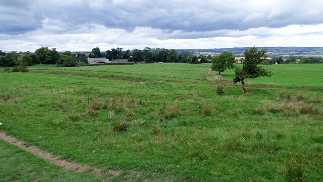
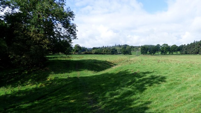
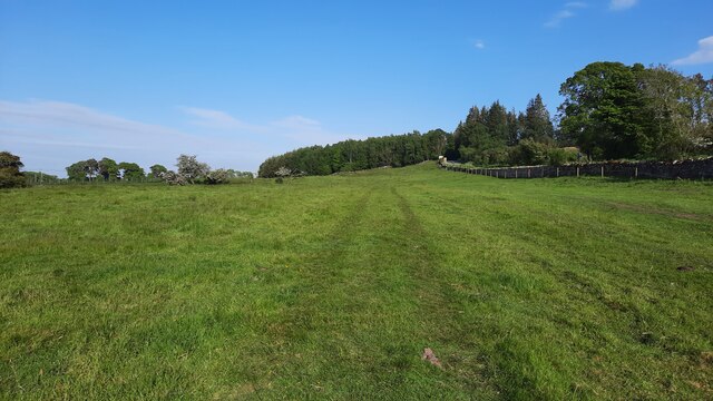
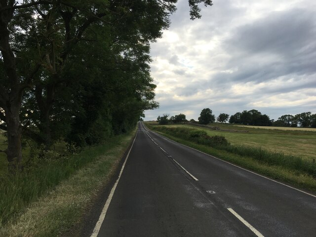
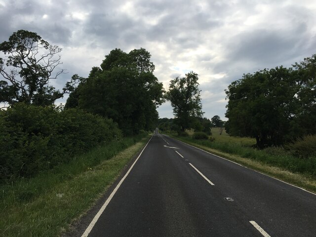
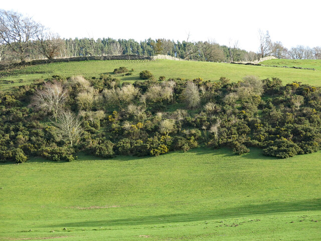
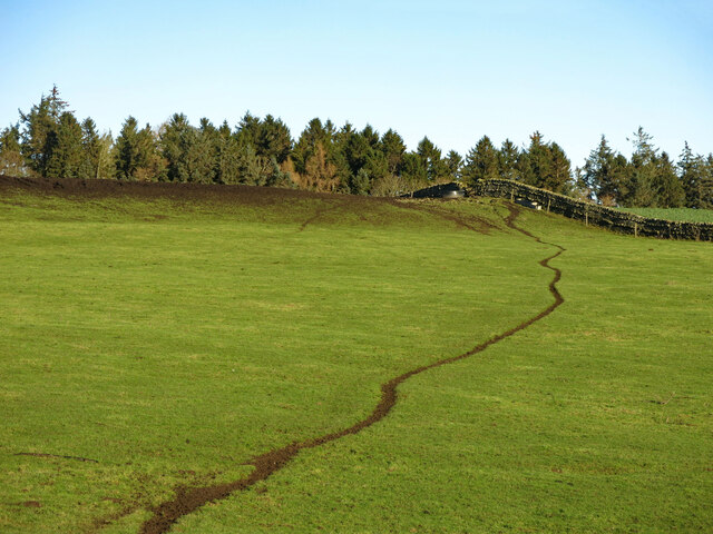
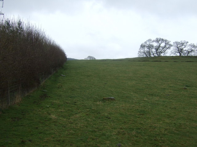
Walwickpark Plantation is a stunning woodland area located in Northumberland, England. Spread across a vast expanse, this plantation is known for its diverse range of trees and lush greenery, making it a popular destination for nature lovers and outdoor enthusiasts.
Covering an area of approximately 500 acres, Walwickpark Plantation is predominantly composed of mature deciduous trees such as oak, beech, and ash, creating a rich and vibrant forest ecosystem. The plantation also boasts a variety of coniferous trees, including Scots pine and Douglas fir, which add a touch of evergreen beauty to the landscape.
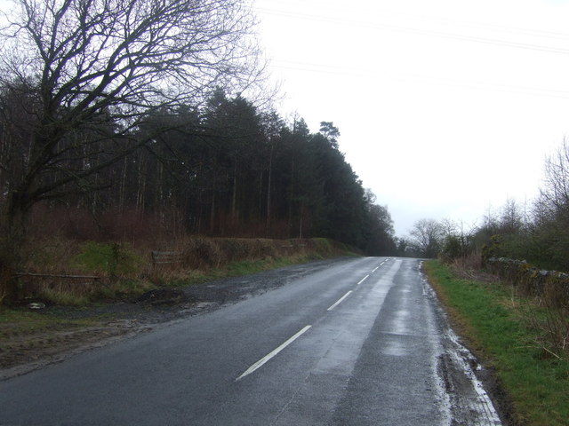
The woodland is intersected by several well-maintained walking trails, allowing visitors to explore the area at their own pace. These trails wind through the plantation, providing opportunities to discover hidden pockets of tranquility, picturesque viewpoints, and an abundance of wildlife. Birdwatchers will delight in the presence of numerous avian species that call Walwickpark Plantation home, including woodpeckers, owls, and various songbirds.
Additionally, the plantation is home to a diverse range of flora, with wildflowers carpeting the forest floor during spring and summer months. This creates a vibrant tapestry of colors and scents, further enhancing the natural beauty of the area.
Walwickpark Plantation is open to the public year-round and offers amenities such as picnic areas, benches, and information boards to enhance visitors' experiences. Whether one seeks a peaceful stroll, an opportunity to connect with nature, or simply a break from the hustle and bustle of everyday life, Walwickpark Plantation is a haven of tranquility and natural beauty in Northumberland.
If you have any feedback on the listing, please let us know in the comments section below.
Walwickpark Plantation Images
Images are sourced within 2km of 55.026037/-2.1616962 or Grid Reference NY8970. Thanks to Geograph Open Source API. All images are credited.


Walwickpark Plantation is located at Grid Ref: NY8970 (Lat: 55.026037, Lng: -2.1616962)
Unitary Authority: Northumberland
Police Authority: Northumbria
What 3 Words
///ascendant.exhaled.simply. Near Wall, Northumberland
Nearby Locations
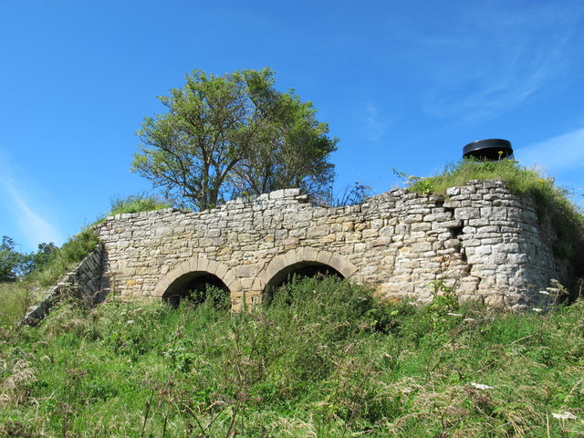
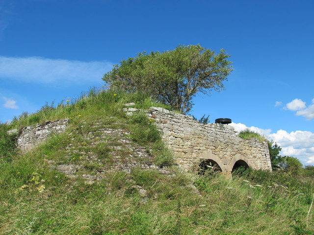
Related Wikis

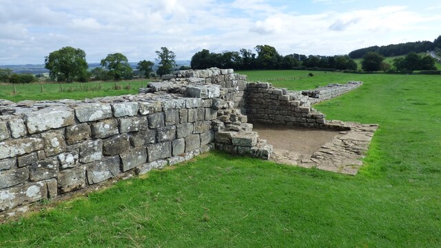
Milecastle 28
Milecastle 28 (Walwick) was a milecastle of the Roman Hadrian's Wall in England. No remains are currently visible. Its location is immediately to the...

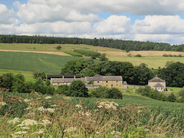
Walwick
Walwick is a village in Northumberland, England near Hadrian's Wall. Nearby villages include Humshaugh, Chollerford and Low Brunton. == Governance... ==
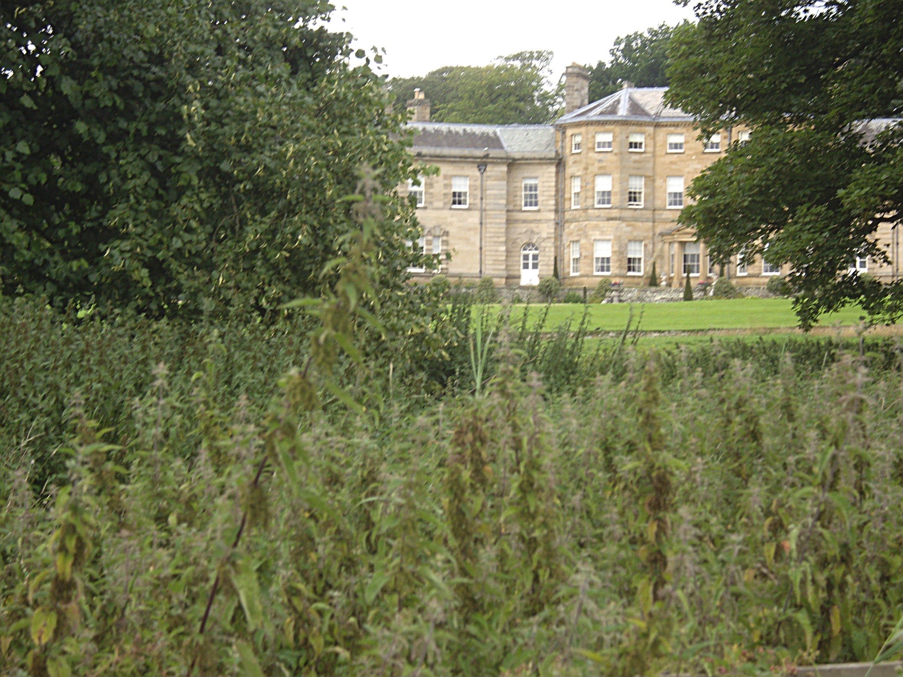
Chesters (Humshaugh)
Chesters is an 18th-century country mansion adjacent to Hadrian's Wall and the Roman fort of Cilurnum at Humshaugh, Northumberland, England. It is a Grade...

Milecastle 29
Milecastle 29 (Tower Tye) was a milecastle of the Roman Hadrian's Wall. Its remains exist as a mutilated earth platform accentuated by deep robber-trenches...
Have you been to Walwickpark Plantation?
Leave your review of Walwickpark Plantation below (or comments, questions and feedback).