Shale's Coppice
Wood, Forest in Dorset
England
Shale's Coppice
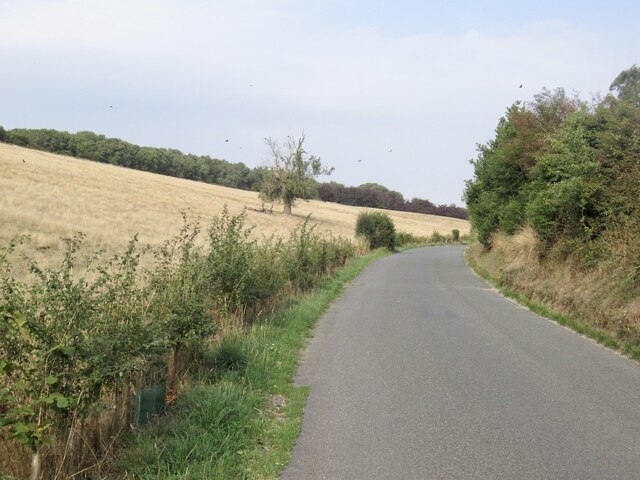
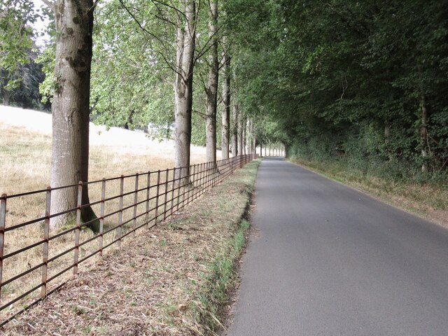
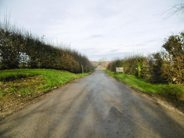
Shale's Coppice is a charming woodland located in the beautiful county of Dorset, England. Situated on the outskirts of the picturesque village of Dorchester, this ancient woodland is a haven for nature enthusiasts and those seeking tranquility in the heart of the countryside.
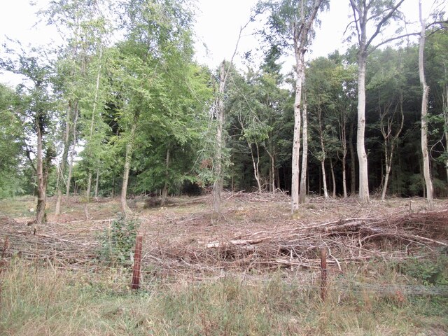
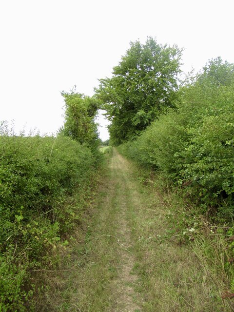
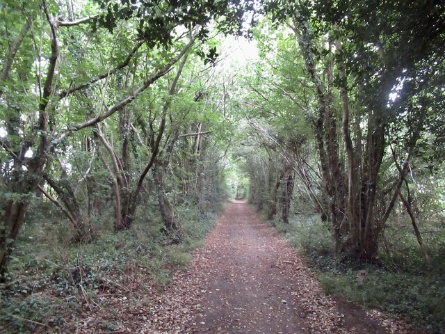
Covering an area of approximately 50 acres, Shale's Coppice is known for its diverse range of tree species and rich biodiversity. The woodland consists predominantly of oak, beech, and ash trees, which create a dense canopy, providing shade and shelter to a plethora of flora and fauna. Bluebells carpet the forest floor in spring, creating a breathtakingly beautiful sight.
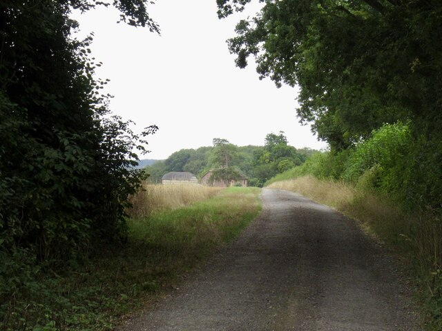
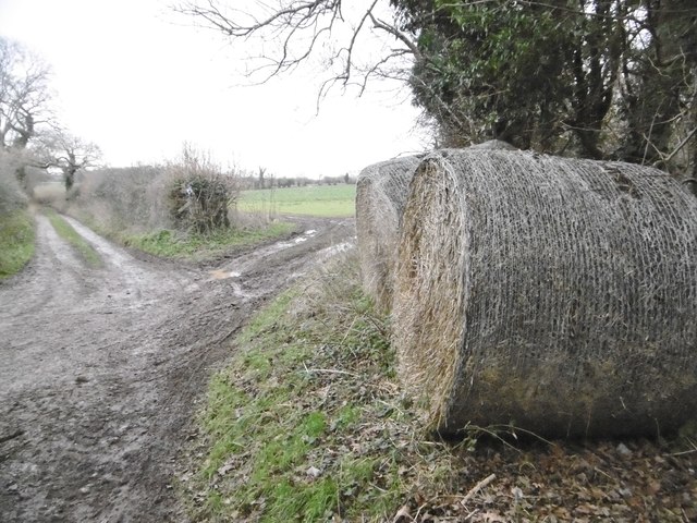
Visitors to Shale's Coppice can enjoy a variety of activities. There are well-maintained walking trails that meander through the woodland, allowing visitors to explore its hidden corners and discover its natural wonders. Birdwatchers will be delighted by the wide range of avian species that inhabit the area, including woodpeckers, nuthatches, and various species of songbirds.
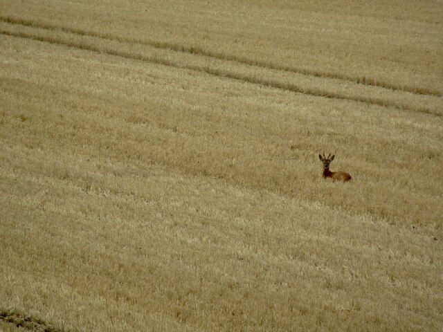
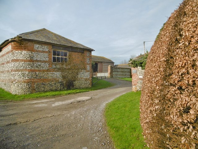
The woodland is also home to a variety of mammals, including foxes, badgers, and deer, making it an ideal spot for wildlife enthusiasts. For those interested in history, the coppice has a rich cultural heritage, with evidence of past human activity, such as charcoal production and woodland management techniques.
Shale's Coppice is a serene retreat where visitors can escape the hustle and bustle of everyday life and immerse themselves in the beauty of nature. With its tranquil atmosphere, stunning scenery, and abundant wildlife, it is a must-visit destination for anyone seeking a peaceful escape in the heart of Dorset.
If you have any feedback on the listing, please let us know in the comments section below.
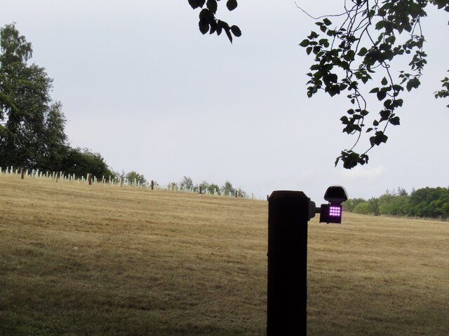
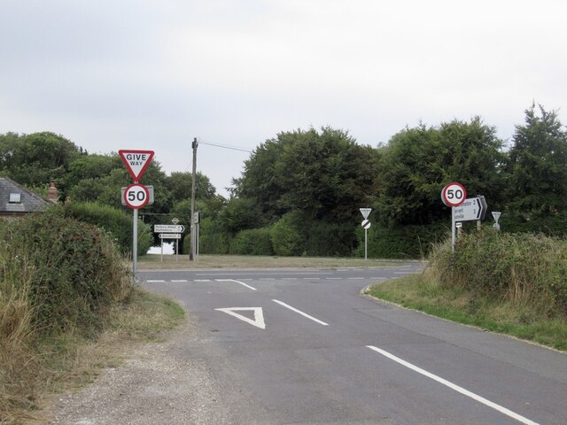
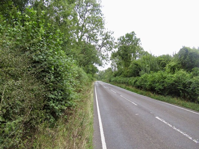
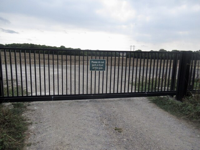
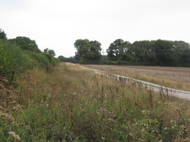
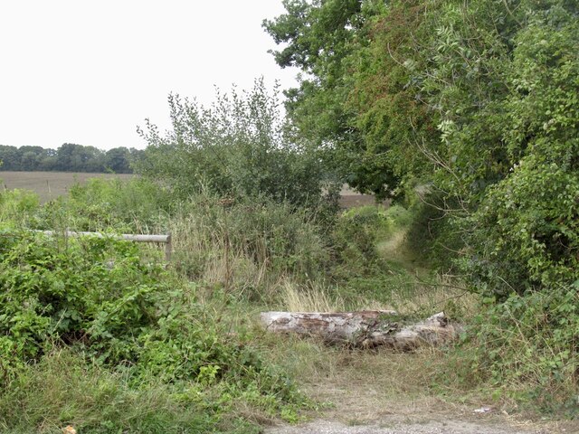
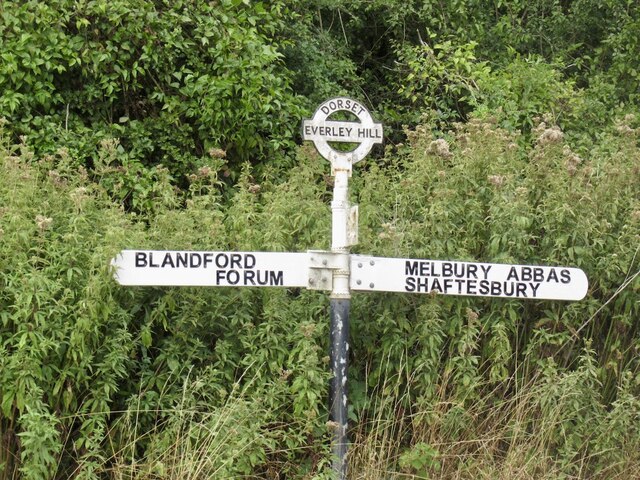
Shale's Coppice Images
Images are sourced within 2km of 50.914/-2.1504581 or Grid Reference ST8912. Thanks to Geograph Open Source API. All images are credited.
Shale's Coppice is located at Grid Ref: ST8912 (Lat: 50.914, Lng: -2.1504581)
Unitary Authority: Dorset
Police Authority: Dorset
What 3 Words
///digits.icon.entrusted. Near Pimperne, Dorset
Nearby Locations
Related Wikis

Iwerne Stepleton
Iwerne Stepleton (anciently Ewern Stapleton, etc.) is a small civil parish and former manor in the county of Dorset, England. The parish comprises about...

Tarrant Gunville
Tarrant Gunville is a village and civil parish in north Dorset, England, situated at the head of the Tarrant Valley on Cranborne Chase five miles (eight...

Iwerne Minster
Iwerne Minster ( YOO-ern) is a village and civil parish in Dorset, England. It lies on the edge of the Blackmore Vale, approximately midway between the...
Pimperne
Pimperne ( PIM-pərn) is a village and civil parish in north Dorset, England, situated on Cranborne Chase two miles (three kilometres) northeast of the...

Stepleton House
Stepleton House is a 17th-century country house in the parish of Iwerne Stepleton in Dorset, situated about 5 kilometres (3 mi) north of Blandford Forum...

Iwerne Courtney
Iwerne Courtney (), also known as Shroton, is a village and civil parish in the English county of Dorset. It lies approximately 4 miles (6 kilometres)...
Pimperne Hundred
Pimperne Hundred was a hundred in the county of Dorset, England, containing the following parishes: Bryanston Durweston Fifehead Neville Hammoon Hazelbury...

Eastbury Park
Eastbury Park was a country estate near Tarrant Gunville in Dorset, England. It contained a large mansion designed by Sir John Vanbrugh. The mansion has...
Nearby Amenities
Located within 500m of 50.914,-2.1504581Have you been to Shale's Coppice?
Leave your review of Shale's Coppice below (or comments, questions and feedback).