Ryehill Plantation
Wood, Forest in Northumberland
England
Ryehill Plantation
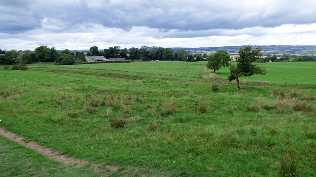
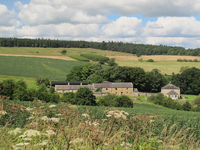
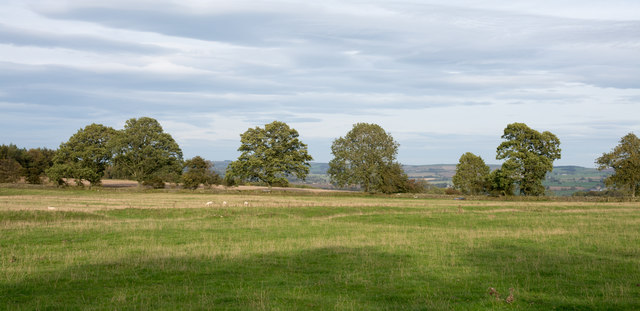
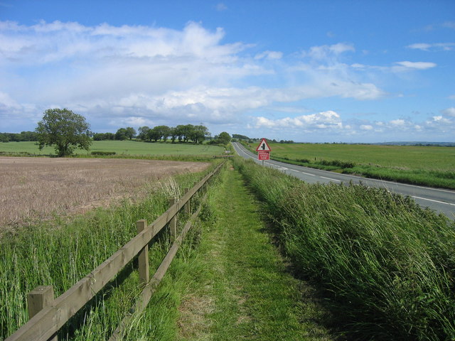
Ryehill Plantation is a picturesque woodland located in the county of Northumberland, England. Stretching over an area of approximately 500 acres, it is a notable plantation that offers a serene and tranquil escape for outdoor enthusiasts and nature lovers.
The plantation consists predominantly of dense coniferous forests, with a variety of tree species such as Scots pine, Douglas fir, and Norway spruce. These towering trees create a dense canopy, providing shelter for various wildlife species that inhabit the area. Visitors to Ryehill Plantation may have the opportunity to spot native animals like red squirrels, roe deer, and a wide array of bird species.
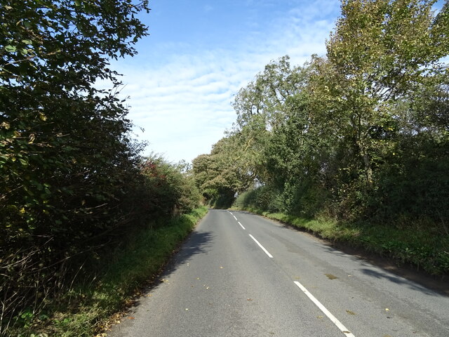
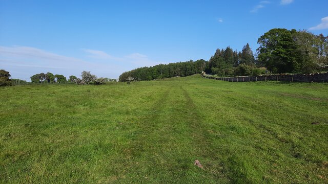
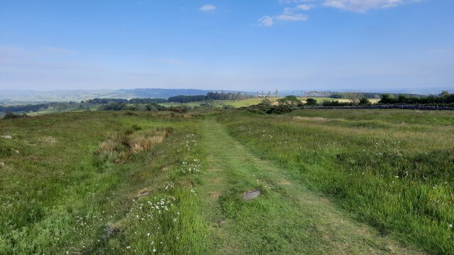
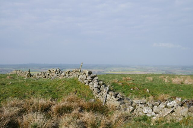
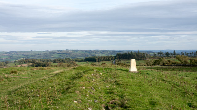
Moreover, the plantation is crisscrossed by a network of well-maintained footpaths and trails, making it an ideal destination for hikers, joggers, and dog walkers. The paths wind through the woodland, offering stunning views of the surrounding countryside and the nearby Cheviot Hills.
Ryehill Plantation is also a popular spot for recreational activities such as mountain biking and horse riding. Its diverse terrain, including gentle slopes and more challenging sections, appeals to both beginners and experienced riders. Additionally, the plantation has designated areas for picnicking and barbecues, providing visitors with the opportunity to relax and enjoy the natural beauty of the surroundings.
Overall, Ryehill Plantation is a remarkable woodland in Northumberland, offering a delightful blend of natural beauty, wildlife, and recreational opportunities for all ages. Whether one seeks a peaceful stroll or an adventurous exploration, this plantation is sure to captivate and inspire.
If you have any feedback on the listing, please let us know in the comments section below.
Ryehill Plantation Images
Images are sourced within 2km of 55.033948/-2.1655143 or Grid Reference NY8971. Thanks to Geograph Open Source API. All images are credited.
Ryehill Plantation is located at Grid Ref: NY8971 (Lat: 55.033948, Lng: -2.1655143)
Unitary Authority: Northumberland
Police Authority: Northumbria
What 3 Words
///gadget.swam.balconies. Near Wall, Northumberland
Nearby Locations
Related Wikis

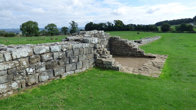
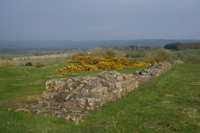
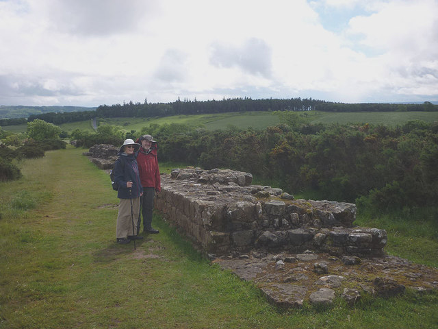
Milecastle 29
Milecastle 29 (Tower Tye) was a milecastle of the Roman Hadrian's Wall. Its remains exist as a mutilated earth platform accentuated by deep robber-trenches...

Milecastle 28
Milecastle 28 (Walwick) was a milecastle of the Roman Hadrian's Wall in England. No remains are currently visible. Its location is immediately to the...

Walwick
Walwick is a village in Northumberland, England near Hadrian's Wall. Nearby villages include Humshaugh, Chollerford and Low Brunton. == Governance... ==
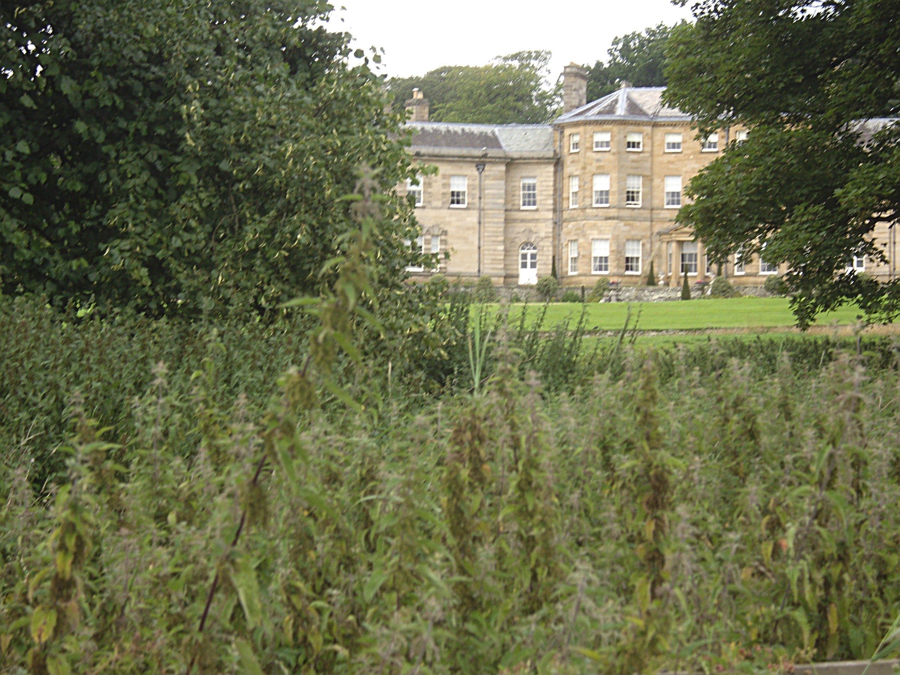
Chesters (Humshaugh)
Chesters is an 18th-century country mansion adjacent to Hadrian's Wall and the Roman fort of Cilurnum at Humshaugh, Northumberland, England. It is a Grade...

Cilurnum
Cilurnum or Cilurvum was a fort on Hadrian's Wall mentioned in the Notitia Dignitatum. It is now identified with the fort found at Chesters (also known...
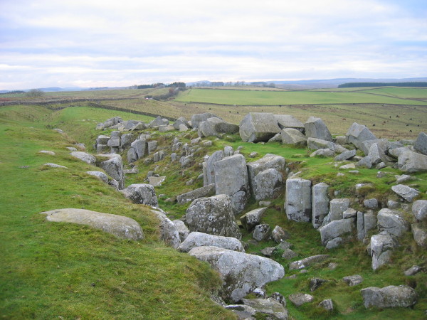
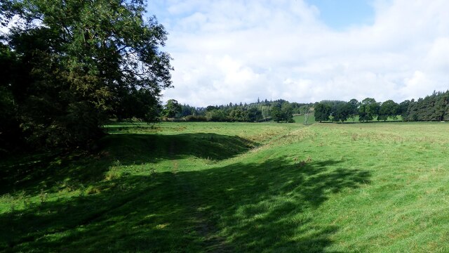
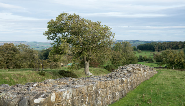
Limestone Corner
Limestone Corner is an area of Hadrian's Wall (and associated defences) at its most northerly point, in present-day northern England. It represents the...
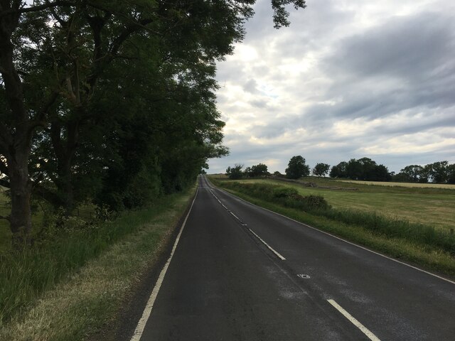
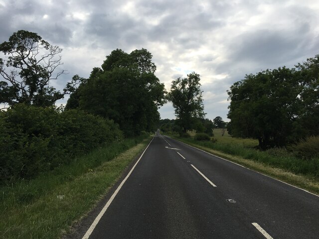
Military Road (Northumberland)
The Military Road is a name given locally to part of the B6318 road in Northumberland, England, which runs from Heddon-on-the-Wall (54.9974°N 1.7929°W...
Chesters Bridge
Chesters Bridge was a Roman bridge over the River North Tyne at Chollerford, Northumberland, England, and adjacent to the Roman fort of Cilurnum on Hadrian...
Nearby Amenities
Located within 500m of 55.033948,-2.1655143Have you been to Ryehill Plantation?
Leave your review of Ryehill Plantation below (or comments, questions and feedback).