Styden Wood
Wood, Forest in Northumberland
England
Styden Wood
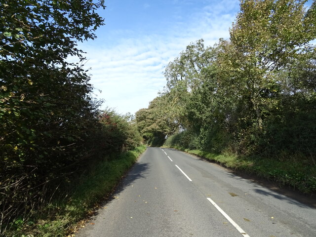
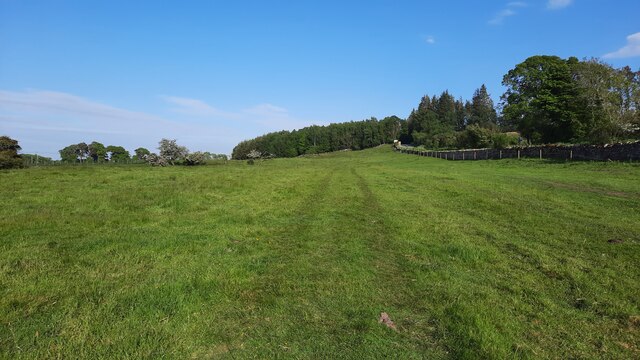
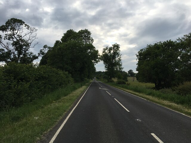
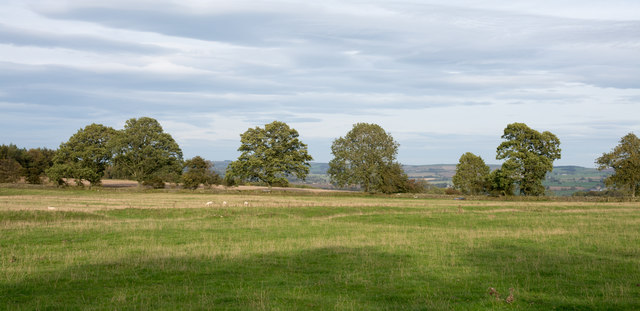
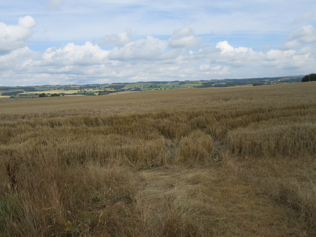
Styden Wood is a picturesque forest located in the county of Northumberland, England. Covering an area of approximately 250 acres, it is known for its diverse range of trees and tranquil atmosphere. The wood is nestled within the beautiful Northumberland National Park, offering visitors a stunning natural setting to explore.
The forest is primarily composed of native broadleaf trees, including oak, birch, and beech. These trees create a dense canopy that provides shade and shelter to a variety of wildlife, making Styden Wood a haven for nature enthusiasts. The forest floor is covered in a lush carpet of ferns, bluebells, and wildflowers, adding to its scenic beauty.
There are several walking trails that wind through Styden Wood, providing visitors with the opportunity to immerse themselves in the peaceful surroundings. These trails range in difficulty, catering to both casual strollers and experienced hikers. Along the way, walkers may encounter a range of wildlife, including red squirrels, roe deer, and a variety of bird species.
Styden Wood is also home to a small stream that meanders through the forest, adding to its charm. The gentle babbling of the water and the dappled sunlight filtering through the trees create a serene and calming atmosphere.
Overall, Styden Wood offers a tranquil retreat for those seeking to reconnect with nature. With its diverse range of trees, abundant wildlife, and peaceful walking trails, it is a must-visit destination for nature lovers and outdoor enthusiasts alike.
If you have any feedback on the listing, please let us know in the comments section below.
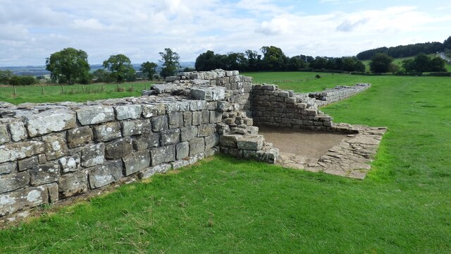
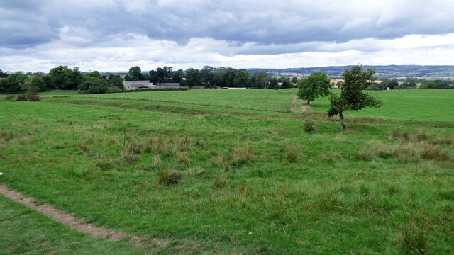
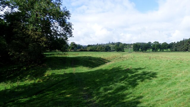
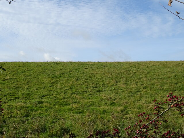
Styden Wood Images
Images are sourced within 2km of 55.035294/-2.1602785 or Grid Reference NY8971. Thanks to Geograph Open Source API. All images are credited.


Styden Wood is located at Grid Ref: NY8971 (Lat: 55.035294, Lng: -2.1602785)
Unitary Authority: Northumberland
Police Authority: Northumbria
What 3 Words
///choppers.cute.tracking. Near Wall, Northumberland
Nearby Locations
Related Wikis

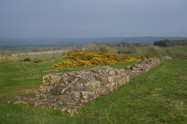
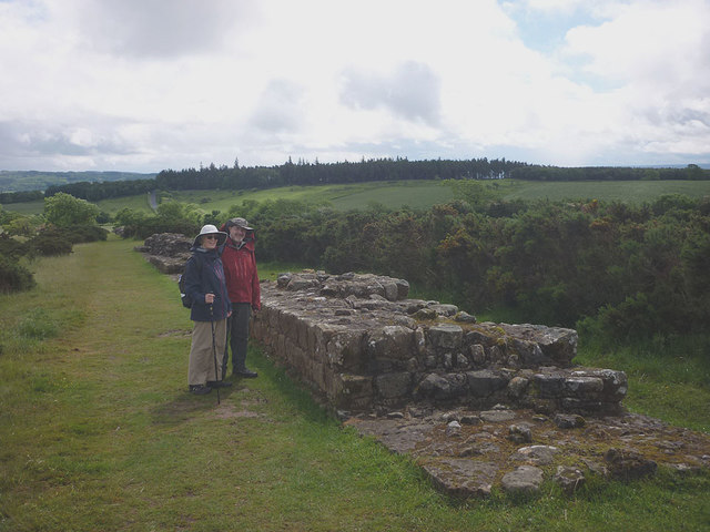
Milecastle 28
Milecastle 28 (Walwick) was a milecastle of the Roman Hadrian's Wall in England. No remains are currently visible. Its location is immediately to the...

Walwick
Walwick is a village in Northumberland, England near Hadrian's Wall. Nearby villages include Humshaugh, Chollerford and Low Brunton. == Governance... ==

Milecastle 29
Milecastle 29 (Tower Tye) was a milecastle of the Roman Hadrian's Wall. Its remains exist as a mutilated earth platform accentuated by deep robber-trenches...
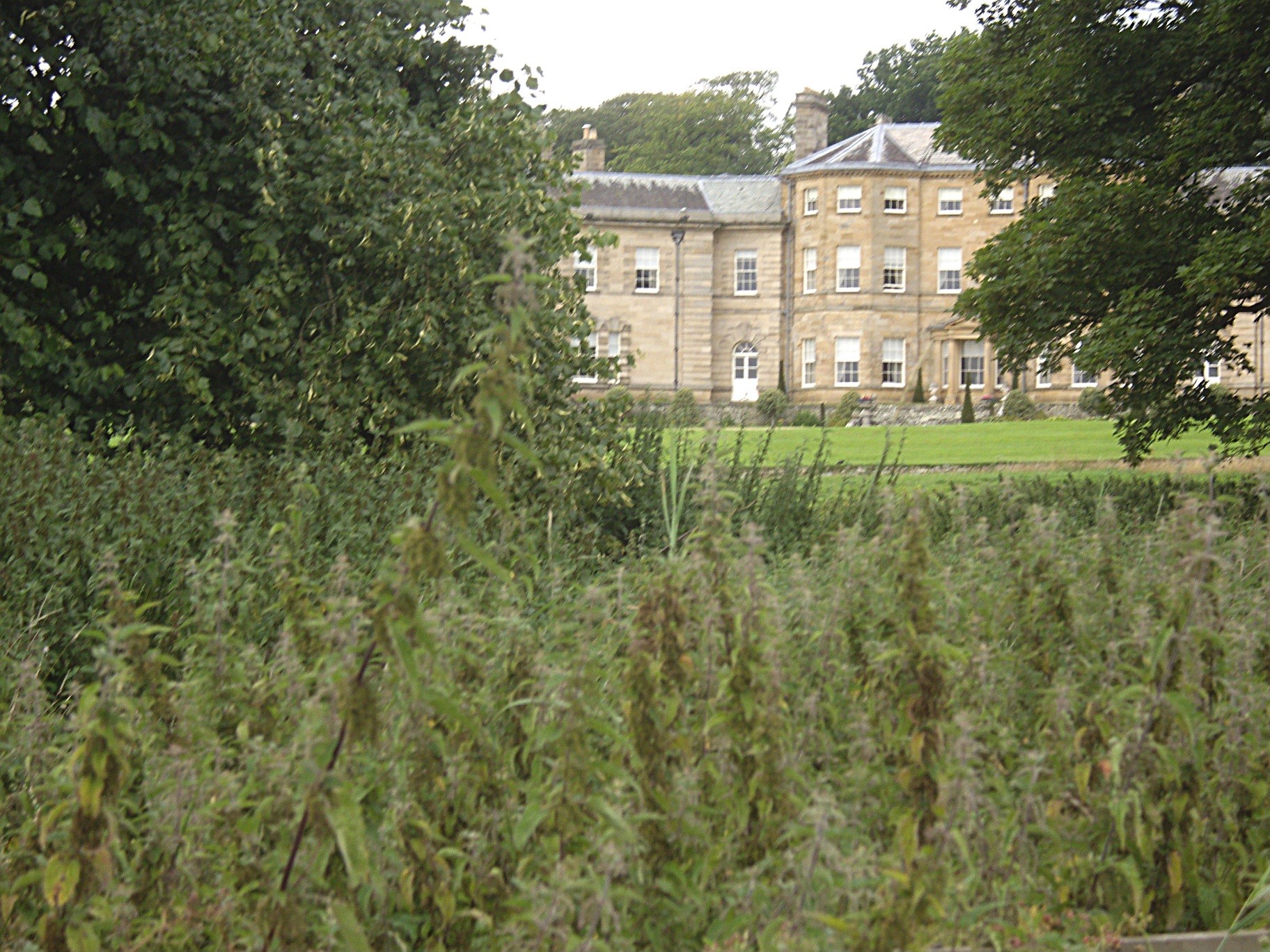
Chesters (Humshaugh)
Chesters is an 18th-century country mansion adjacent to Hadrian's Wall and the Roman fort of Cilurnum at Humshaugh, Northumberland, England. It is a Grade...

Cilurnum
Cilurnum or Cilurvum was a fort on Hadrian's Wall mentioned in the Notitia Dignitatum. It is now identified with the fort found at Chesters (also known...

Humshaugh
Humshaugh () is a parish near Hexham in Northumberland, England. The village had a population of 622 in the 2011 census, and is just north of Chollerford...
Chesters Bridge
Chesters Bridge was a Roman bridge over the River North Tyne at Chollerford, Northumberland, England, and adjacent to the Roman fort of Cilurnum on Hadrian...

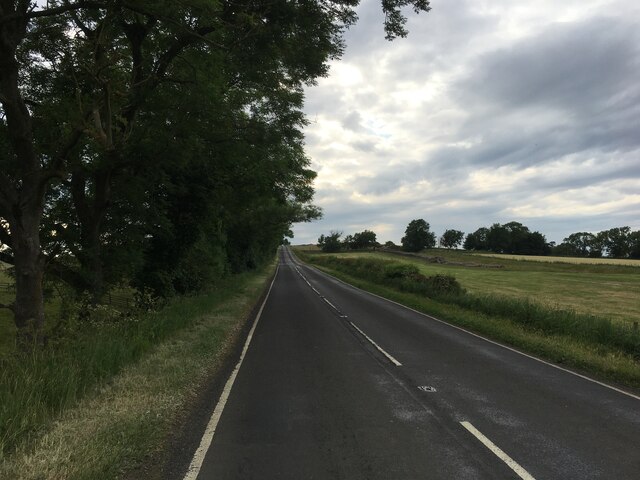
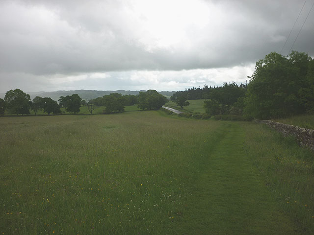
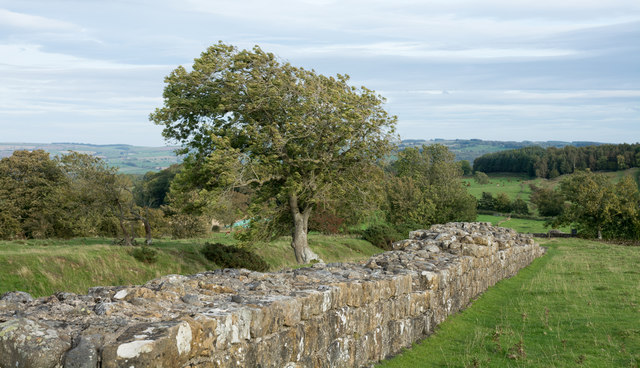
Hadrian's Wall Path
Hadrian's Wall Path is a long-distance footpath in the north of England, which became the 15th National Trail in 2003. It runs for 84 miles (135 km), from...
Nearby Amenities
Located within 500m of 55.035294,-2.1602785Have you been to Styden Wood?
Leave your review of Styden Wood below (or comments, questions and feedback).