Woodcock Wood
Wood, Forest in Northumberland
England
Woodcock Wood
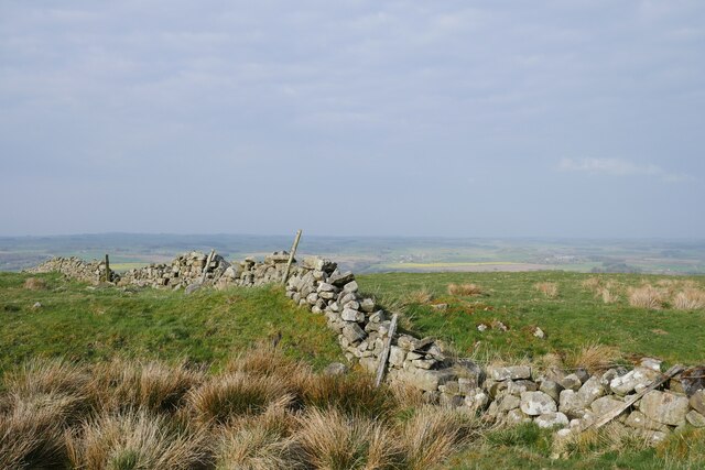
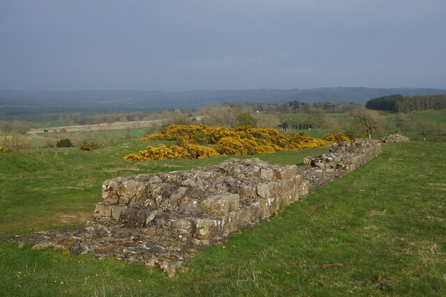
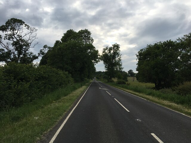
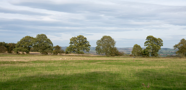
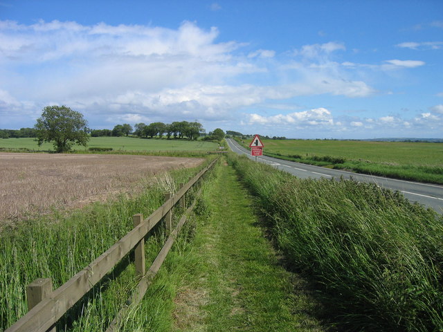
Woodcock Wood is a picturesque forest located in the county of Northumberland, England. Covering an area of approximately 50 acres, this woodland is known for its natural beauty and diverse range of flora and fauna.
The forest is primarily composed of deciduous trees such as oak, beech, and birch, which provide a stunning display of colors during the autumn months. It is also home to a variety of wildlife, including birds such as woodcocks, owls, and various species of songbirds.
Woodcock Wood offers a tranquil escape from the hustle and bustle of everyday life, providing visitors with the opportunity to immerse themselves in nature. The forest features a network of well-maintained walking trails, allowing visitors to explore its hidden corners and discover its many wonders.
The woodland is also a popular spot for nature enthusiasts and photographers, who are drawn to its serene atmosphere and the chance to capture rare and beautiful moments in nature. Additionally, the forest serves as an important habitat for several protected species, contributing to the region's biodiversity.
Woodcock Wood is easily accessible, with a well-marked entrance and ample parking facilities nearby. Whether you are looking for a peaceful stroll, a bird-watching expedition, or simply a place to connect with nature, Woodcock Wood offers a truly enchanting experience in the heart of Northumberland.
If you have any feedback on the listing, please let us know in the comments section below.
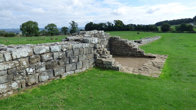
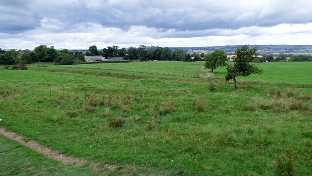
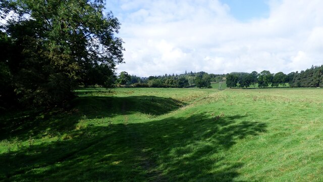
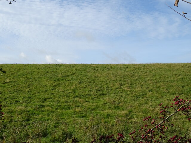
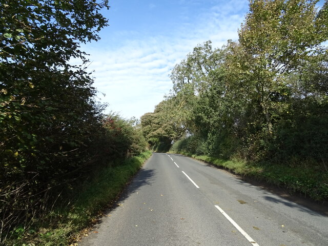
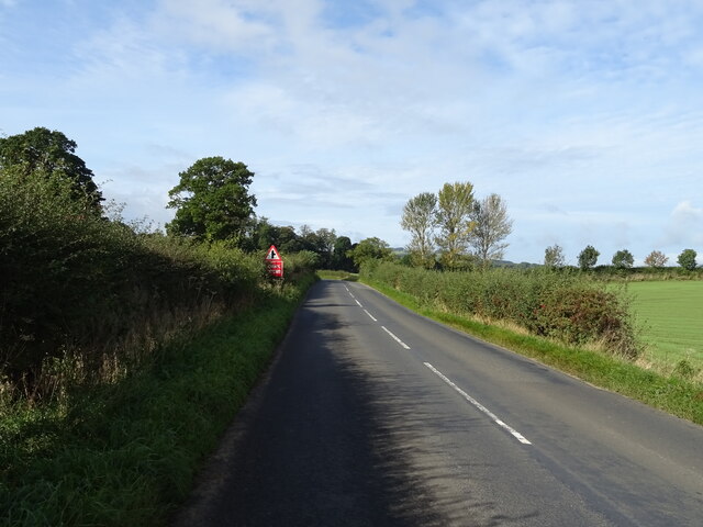
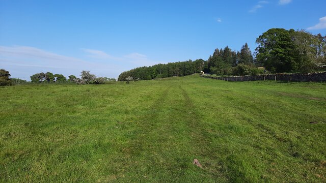
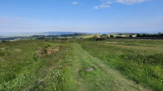
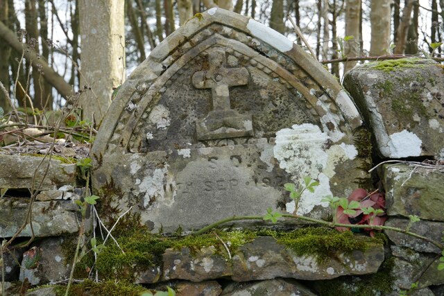
Woodcock Wood Images
Images are sourced within 2km of 55.039029/-2.1626405 or Grid Reference NY8971. Thanks to Geograph Open Source API. All images are credited.
Woodcock Wood is located at Grid Ref: NY8971 (Lat: 55.039029, Lng: -2.1626405)
Unitary Authority: Northumberland
Police Authority: Northumbria
What 3 Words
///segregate.latter.agreeing. Near Wall, Northumberland
Nearby Locations
Related Wikis

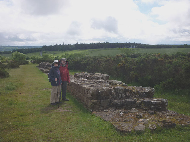
Milecastle 29
Milecastle 29 (Tower Tye) was a milecastle of the Roman Hadrian's Wall. Its remains exist as a mutilated earth platform accentuated by deep robber-trenches...

Milecastle 28
Milecastle 28 (Walwick) was a milecastle of the Roman Hadrian's Wall in England. No remains are currently visible. Its location is immediately to the...

Walwick
Walwick is a village in Northumberland, England near Hadrian's Wall. Nearby villages include Humshaugh, Chollerford and Low Brunton. == Governance... ==
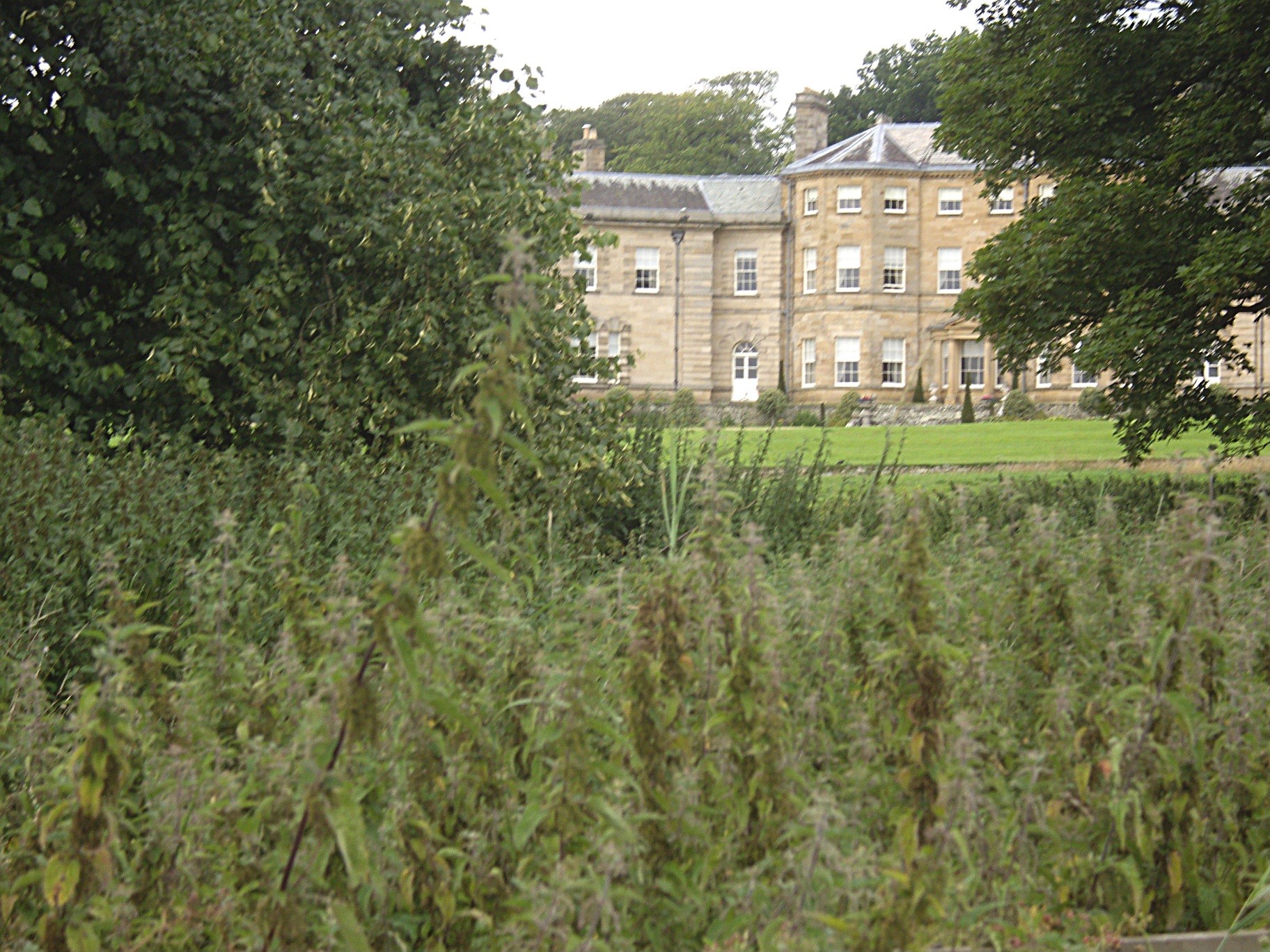
Chesters (Humshaugh)
Chesters is an 18th-century country mansion adjacent to Hadrian's Wall and the Roman fort of Cilurnum at Humshaugh, Northumberland, England. It is a Grade...

Humshaugh
Humshaugh () is a parish near Hexham in Northumberland, England. The village had a population of 622 in the 2011 census, and is just north of Chollerford...
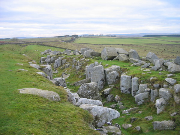
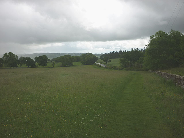
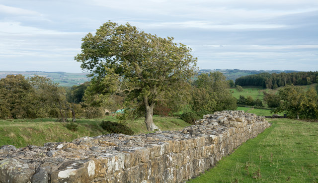
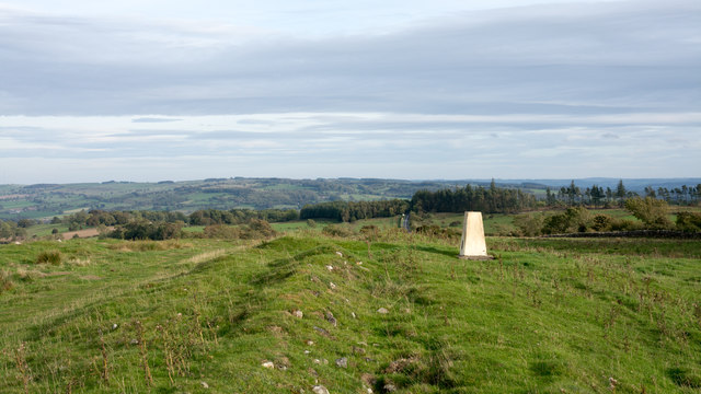
Limestone Corner
Limestone Corner is an area of Hadrian's Wall (and associated defences) at its most northerly point, in present-day northern England. It represents the...
Military Road (Northumberland)
The Military Road is a name given locally to part of the B6318 road in Northumberland, England, which runs from Heddon-on-the-Wall (54.9974°N 1.7929°W...

Cilurnum
Cilurnum or Cilurvum was a fort on Hadrian's Wall mentioned in the Notitia Dignitatum. It is now identified with the fort found at Chesters (also known...
Nearby Amenities
Located within 500m of 55.039029,-2.1626405Have you been to Woodcock Wood?
Leave your review of Woodcock Wood below (or comments, questions and feedback).