Summerleaze Oaks

Wood, Forest in Wiltshire

England

Summerleaze Oaks

Ruddlemoor Farm Almost completely surrounded by forest
Ruddlemoor Farm Credit: Chris Heaton

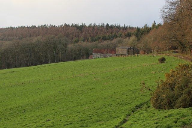
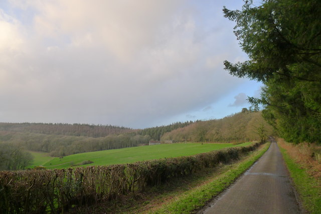
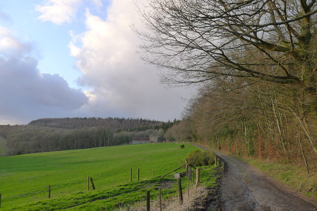
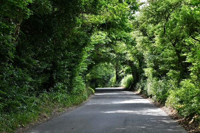
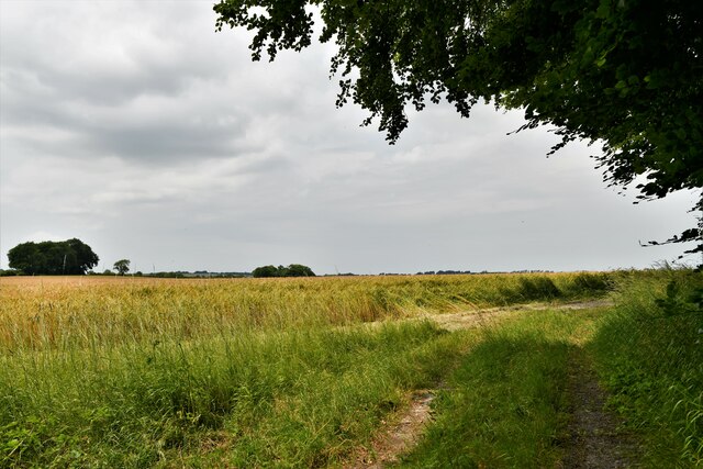
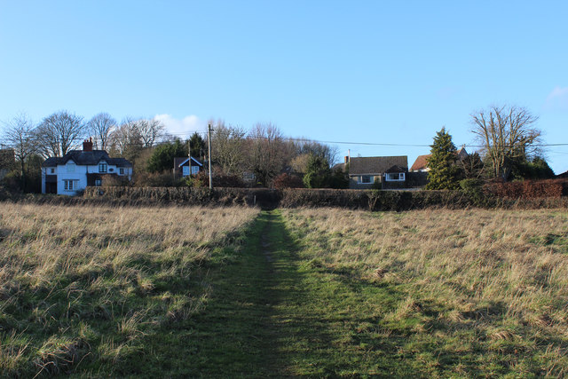
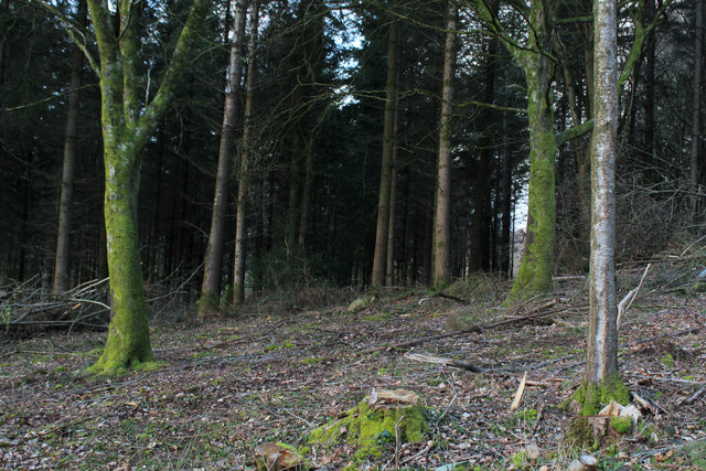
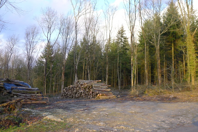
Summerleaze Oaks is a picturesque woodland located in Wiltshire, England. Covering an area of approximately 50 acres, it is nestled in the heart of the county, offering a tranquil escape from the bustling city life. The woodland is primarily composed of a diverse range of oak trees, which give the area its distinct charm.

The oaks in Summerleaze Oaks are known for their impressive size and age, with some dating back several centuries. The canopy created by these majestic trees provides a cool and shaded environment, perfect for leisurely walks or picnics on hot summer days. The forest floor is covered with a rich carpet of ferns, wildflowers, and moss, creating a lush and vibrant atmosphere.

The woodland is home to a wide variety of wildlife, including birds, mammals, and insects. Nature enthusiasts can spot species such as deer, foxes, badgers, and numerous bird species, making it a haven for birdwatching enthusiasts. The tranquil environment also offers opportunities for photographers and artists to capture the beauty of nature.

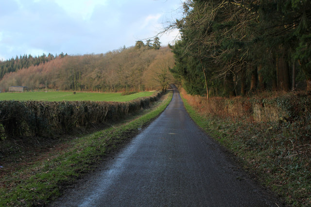
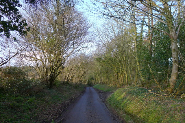
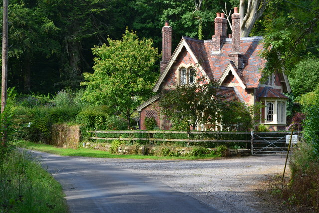
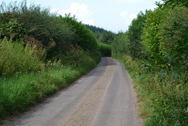
Summerleaze Oaks is a popular destination for locals and visitors alike, attracting nature lovers, hikers, and families seeking a day out in the countryside. The woodland is well-maintained with designated walking paths, allowing visitors to explore the area safely. There are also picnic areas and benches strategically placed throughout the woodland, providing ample space to relax and enjoy the surroundings.

Overall, Summerleaze Oaks is a magnificent woodland that offers a peaceful retreat for those looking to connect with nature. Its ancient oaks, diverse wildlife, and serene atmosphere make it a perfect destination for anyone seeking a break from the urban hustle and bustle.

If you have any feedback on the listing, please let us know in the comments section below.

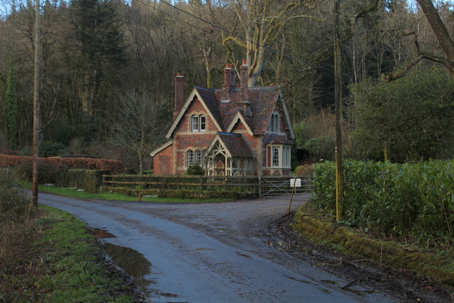
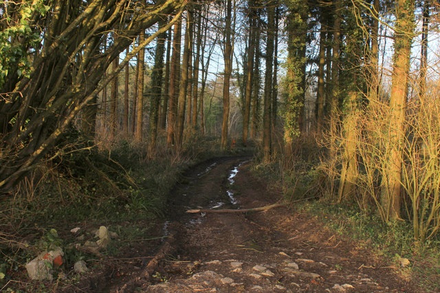
Summerleaze Oaks Images

Images are sourced within 2km of 51.064174/-2.1483765 or Grid Reference ST8929. Thanks to Geograph Open Source API. All images are credited.

Ruddlemoor Farm Almost completely surrounded by forest
Ruddlemoor Farm
Almost completely surrounded by forest
Minor Road between Newtown and Hindon For most of its length this quiet lane runs through shady woodland
Minor Road between Newtown and Hindon
For most of its length this quiet lane runs through shady woodland
Heading North towards Hindon Section of the woodland road between Newtown and Hindon
Heading North towards Hindon
Section of the woodland road between Newtown and Hindon
Minor road around the west flank of Beacon Hill Looking towards Ruddlemoor farm in the middle distance.
Minor road around the west flank of Beacon Hill
Looking towards Ruddlemoor farm in the middle distance.
Track to Ruddlemoor Farm
East Knoyle: Plantation access track
East Knoyle: East Knoyle Road
East Knoyle: Barley crop
The Street, East Knoyle ca 1980
Newtown: a hidden phone box This telephone box has been rather overcome by the adjacent foliage in the 8 years since it was photographed here: <a href="https://www.geograph.org.uk/photo/1201067">ST9128 : Telephone box, Newtown</a>

The ivy has also made its way into the box from the far corner, not via the door which seems to be jammed half-open.

A notice in the box, saying that BT propose to remove it as it isn't sufficiently used, is dated 2009 although the phone apparatus is still in the box.

A postbox in a pillar can be seen to the far left.
Newtown: a hidden phone box
This telephone box has been rather overcome by the adjacent foliage in the 8 years since it was photographed here: ST9128 : Telephone box, Newtown The ivy has also made its way into the box from the far corner, not via the door which seems to be jammed half-open. A notice in the box, saying that BT propose to remove it as it isn't sufficiently used, is dated 2009 although the phone apparatus is still in the box. A postbox in a pillar can be seen to the far left.
Wessex Ridgeway heading towards Newtown The Wessex Ridgeway is a 136-mile long-distance footpath which runs from Marlborough in Wiltshire to Lyme Regis in Dorset. It was opened in 1994. 

Wikipedia entry: <span class="nowrap"><a title="https://en.wikipedia.org/wiki/Wessex_Ridgeway" rel="nofollow ugc noopener" href="https://en.wikipedia.org/wiki/Wessex_Ridgeway">Link</a><img style="margin-left:2px;" alt="External link" title="External link - shift click to open in new window" src="https://s1.geograph.org.uk/img/external.png" width="10" height="10"/></span>
Wessex Ridgeway heading towards Newtown
The Wessex Ridgeway is a 136-mile long-distance footpath which runs from Marlborough in Wiltshire to Lyme Regis in Dorset. It was opened in 1994. Wikipedia entry: LinkExternal link
West Gate Lodge On the minor forest road that runs northwards to Hindon.
I imagine this building guarded the western entrance to Fonthill Abbey at one time.
West Gate Lodge
On the minor forest road that runs northwards to Hindon. I imagine this building guarded the western entrance to Fonthill Abbey at one time.
Track leading to White Mead Wood
Mockeny Wood Part of the large tract of woodland to the south of Hindon in Wiltshire
Mockeny Wood
Part of the large tract of woodland to the south of Hindon in Wiltshire
Entering the woods surrounding Beacon Hill As it's getting late, we shortcut the Wessex Ridgeway path by taking this minor road straight to our overnight stop in Hindon.
Entering the woods surrounding Beacon Hill
As it's getting late, we shortcut the Wessex Ridgeway path by taking this minor road straight to our overnight stop in Hindon.
Wood piles in Mockeny Wood
West Gate Lodge, on the Fonthill Abbey estate
Lane north of Pythouse Plantation
Show me another place!

Summerleaze Oaks is located at Grid Ref: ST8929 (Lat: 51.064174, Lng: -2.1483765)

Unitary Authority: Wiltshire

Police Authority: Wiltshire

What 3 Words

///spires.cyber.unframed. Near Hindon, Wiltshire

Related Wikis

Pythouse

Pythouse, sometimes spelled Pyt House and pronounced pit-house, is a country house in southwest Wiltshire, in the west of England. It is about 2+1⁄2 miles...

East Knoyle War Memorial

The East Knoyle War Memorial is a monument that commemorates the lives of soldiers from East Knoyle, Wiltshire, England, who were killed in war. Unveiled...

East Knoyle

East Knoyle is a village and civil parish in Wiltshire, in the south-west of England, just west of the A350 and about 9 miles (14 km) south of Warminster...

St. Mary's Church, East Knoyle

St. Mary's Church is a Church of England parish church in East Knoyle, Wiltshire, England. == History == The Church of England Parish Church of St Mary...

Nearby Amenities

Located within 500m of 51.064174,-2.1483765
Post Box
Operator: Royal Mail
Post Box Type: lamp
Ref: SP3 221
Royal Cypher: EIIR
Royal Cypher Wikidata: Q33102113
Lat/Long: 51.0606476/-2.1521187
The data included in this document is from www.openstreetmap.org. The data is made available under ODbL.

Have you been to Summerleaze Oaks?

Leave your review of Summerleaze Oaks below (or comments, questions and feedback).