Crabtree Coppice
Wood, Forest in Dorset
England
Crabtree Coppice
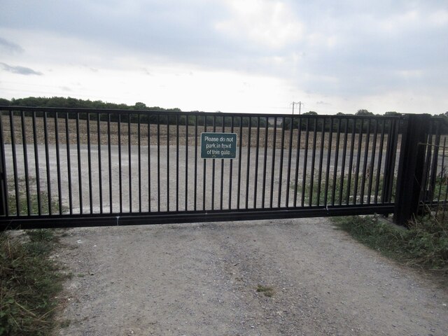
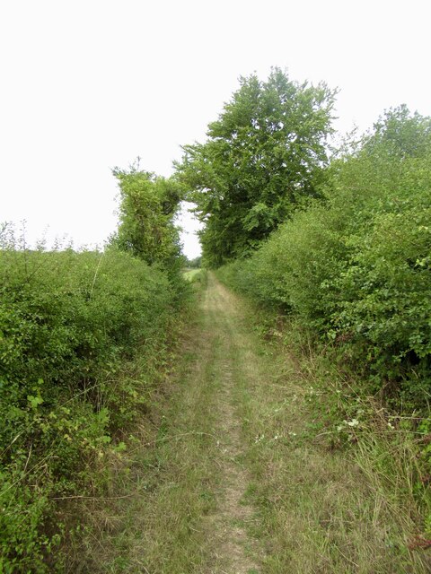
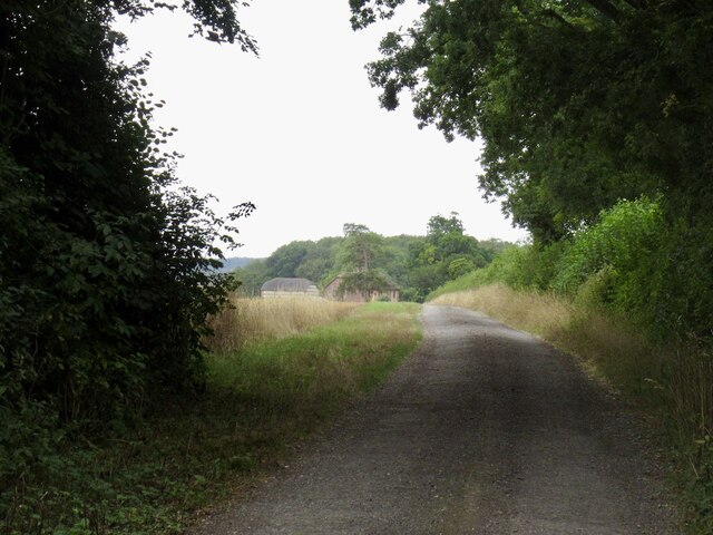
Crabtree Coppice is a picturesque woodland located in the county of Dorset, England. Covering an area of approximately 50 acres, this charming forest is a haven for nature enthusiasts and offers a tranquil escape from the hustle and bustle of everyday life.
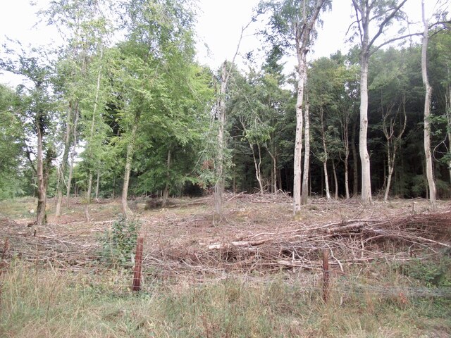
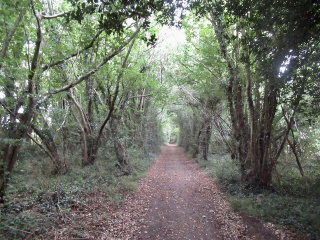
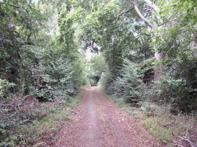
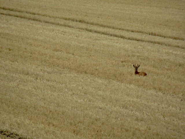
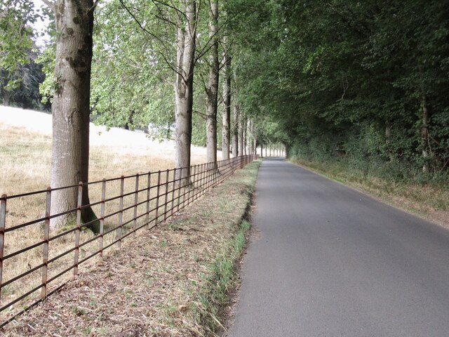
The woodland boasts a diverse range of tree species, including oak, ash, beech, and birch, which create a dense canopy and provide a habitat for a variety of wildlife. Walking through the forest, visitors can enjoy the soothing sounds of birdsong and the rustling of leaves underfoot, immersing themselves in the natural beauty of the surroundings.
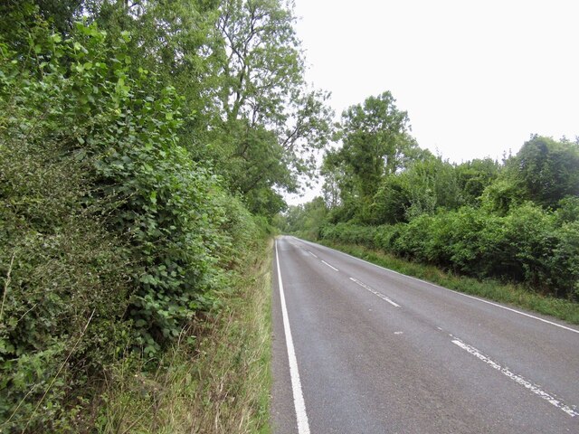
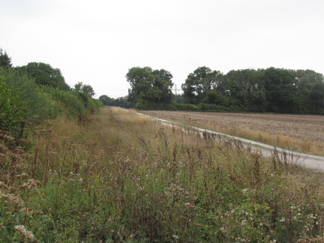
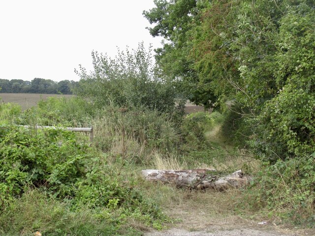
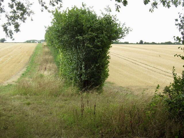
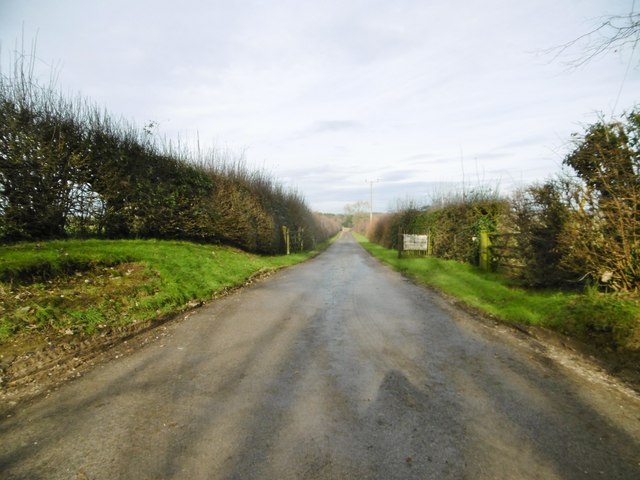
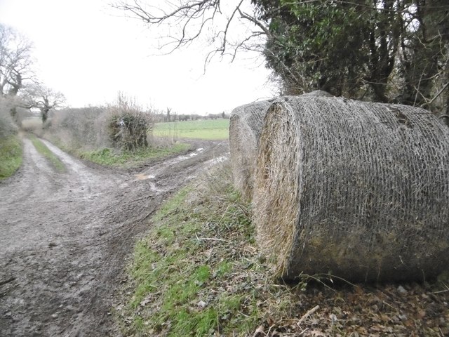
Crabtree Coppice is also home to a network of well-maintained footpaths, allowing visitors to explore and discover the hidden treasures within the forest. These paths wind through the trees, leading to secluded clearings and peaceful glades, perfect for a picnic or simply to sit and appreciate the serenity of the woodland.
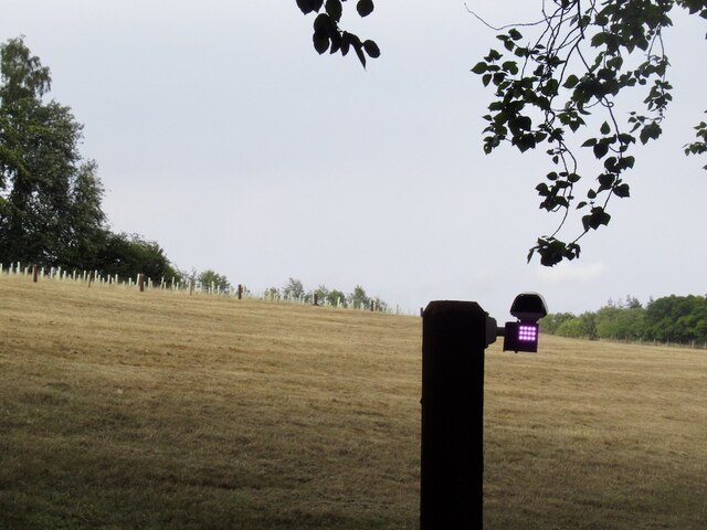
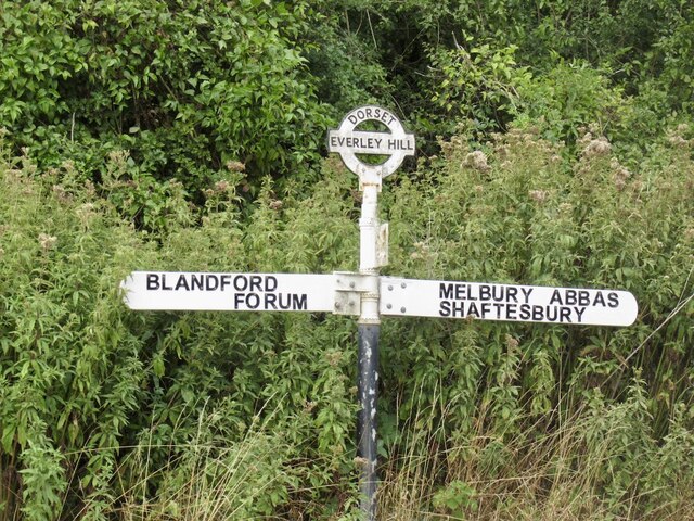
In addition to its natural beauty, Crabtree Coppice offers educational opportunities for visitors. Interpretive signs are placed strategically throughout the woodland, providing information about the various tree species and wildlife that can be found there. This makes it an ideal destination for families and school groups looking to learn more about the local ecosystem.
Overall, Crabtree Coppice is a captivating woodland in Dorset, offering a serene and enriching experience for those seeking to connect with nature. With its stunning scenery, diverse wildlife, and educational opportunities, it is a must-visit destination for anyone with an appreciation for the great outdoors.
If you have any feedback on the listing, please let us know in the comments section below.
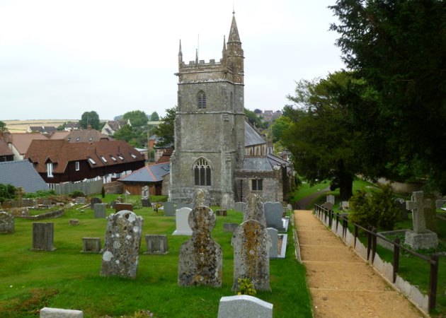
Crabtree Coppice Images
Images are sourced within 2km of 50.913997/-2.1529616 or Grid Reference ST8912. Thanks to Geograph Open Source API. All images are credited.
Crabtree Coppice is located at Grid Ref: ST8912 (Lat: 50.913997, Lng: -2.1529616)
Unitary Authority: Dorset
Police Authority: Dorset
What 3 Words
///rapid.overused.hillside. Near Pimperne, Dorset
Nearby Locations
Related Wikis

Iwerne Stepleton
Iwerne Stepleton (anciently Ewern Stapleton, etc.) is a small civil parish and former manor in the county of Dorset, England. The parish comprises about...

Iwerne Minster
Iwerne Minster ( YOO-ern) is a village and civil parish in Dorset, England. It lies on the edge of the Blackmore Vale, approximately midway between the...

Tarrant Gunville
Tarrant Gunville is a village and civil parish in north Dorset, England, situated at the head of the Tarrant Valley on Cranborne Chase five miles (eight...

Stepleton House
Stepleton House is a 17th-century country house in the parish of Iwerne Stepleton in Dorset, situated about 5 kilometres (3 mi) north of Blandford Forum...

Iwerne Courtney
Iwerne Courtney (), also known as Shroton, is a village and civil parish in the English county of Dorset. It lies approximately 4 miles (6 kilometres)...
Pimperne
Pimperne ( PIM-pərn) is a village and civil parish in north Dorset, England, situated on Cranborne Chase two miles (three kilometres) northeast of the...
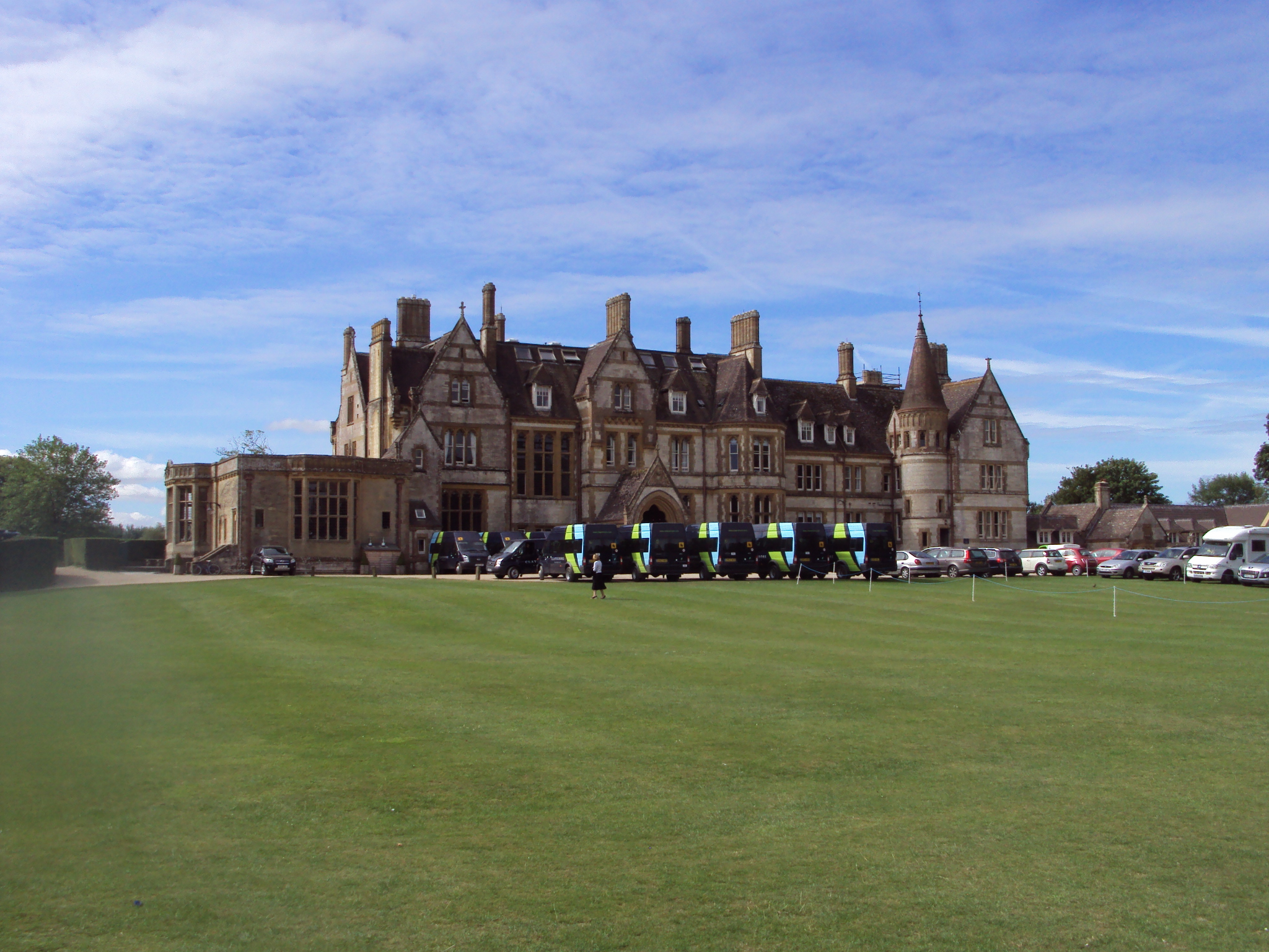
Clayesmore School
Clayesmore School is an independent school for boys and girls, aged 8 – 18 years, in the village of Iwerne Minster, Dorset, England. It is both a day...
Pimperne Hundred
Pimperne Hundred was a hundred in the county of Dorset, England, containing the following parishes: Bryanston Durweston Fifehead Neville Hammoon Hazelbury...
Nearby Amenities
Located within 500m of 50.913997,-2.1529616Have you been to Crabtree Coppice?
Leave your review of Crabtree Coppice below (or comments, questions and feedback).