Handcock's Bottom
Valley in Dorset
England
Handcock's Bottom
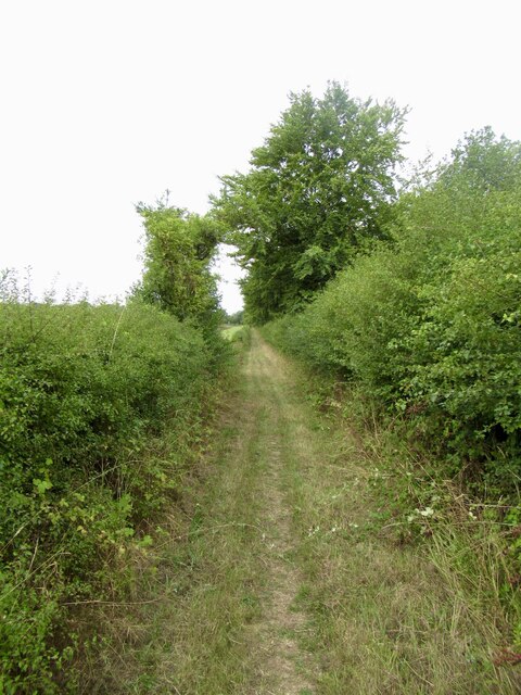
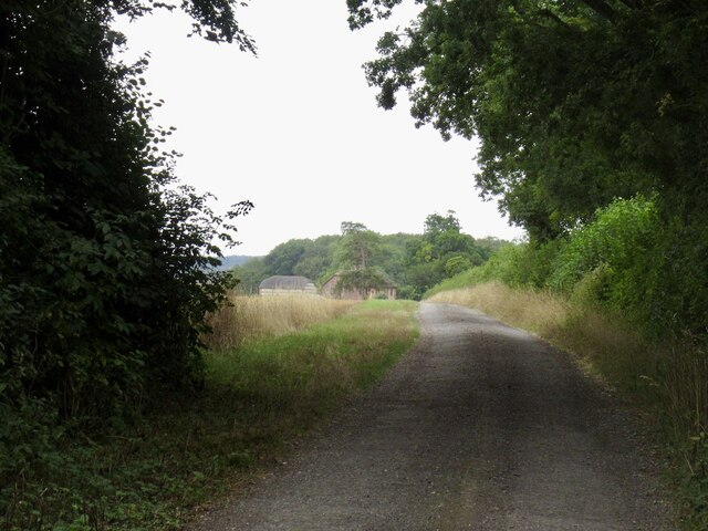
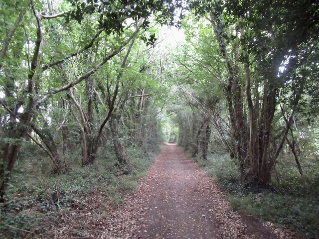
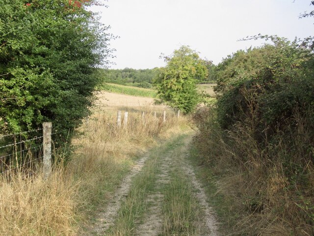
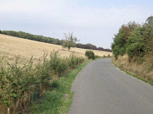
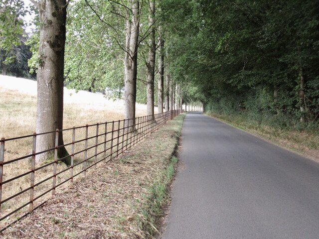
Hancock's Bottom, located in Dorset County, England, is a picturesque valley renowned for its natural beauty and tranquil atmosphere. Situated within the Dorset Area of Outstanding Natural Beauty, this idyllic countryside haven offers visitors a chance to escape the hustle and bustle of city life.
Nestled between rolling hills and surrounded by lush green meadows, Hancock's Bottom boasts breathtaking panoramic views that stretch for miles. The valley is traversed by a meandering stream, which adds to its charm and provides a serene soundtrack to the landscape. The area is rich in diverse wildlife, with numerous species of birds, butterflies, and small mammals calling it home.
Hancock's Bottom is a popular destination for outdoor enthusiasts, offering a variety of activities for visitors to enjoy. The valley's extensive network of walking and cycling trails allows visitors to explore the area's natural wonders at their own pace. The valley also offers excellent opportunities for picnicking, with several designated spots providing perfect settings for a leisurely outdoor meal.
For those seeking a more immersive experience, Hancock's Bottom offers camping facilities that allow visitors to spend the night amidst the tranquility of the valley. The starry night sky, uninterrupted by light pollution, is a particular highlight for stargazers.
In summary, Hancock's Bottom offers a slice of rural paradise in the heart of Dorset. Its stunning natural beauty, diverse wildlife, and range of outdoor activities make it a must-visit destination for nature lovers and those seeking a peaceful retreat.
If you have any feedback on the listing, please let us know in the comments section below.
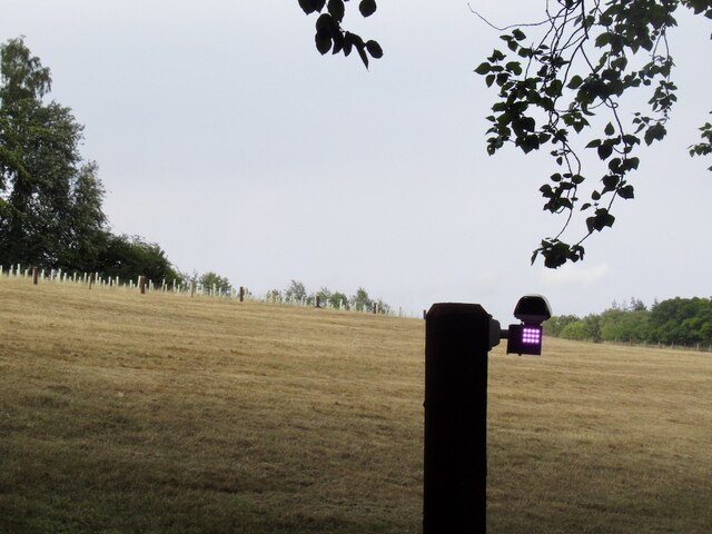
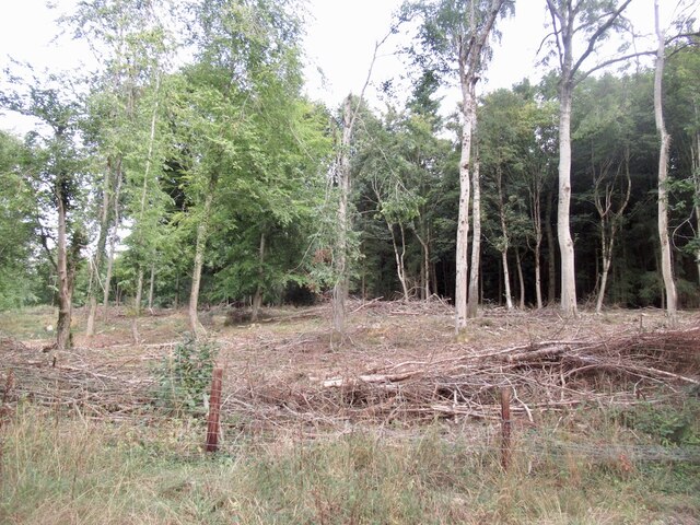
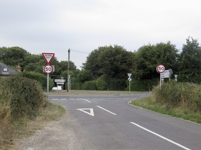
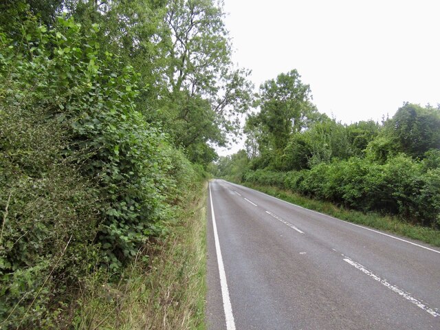
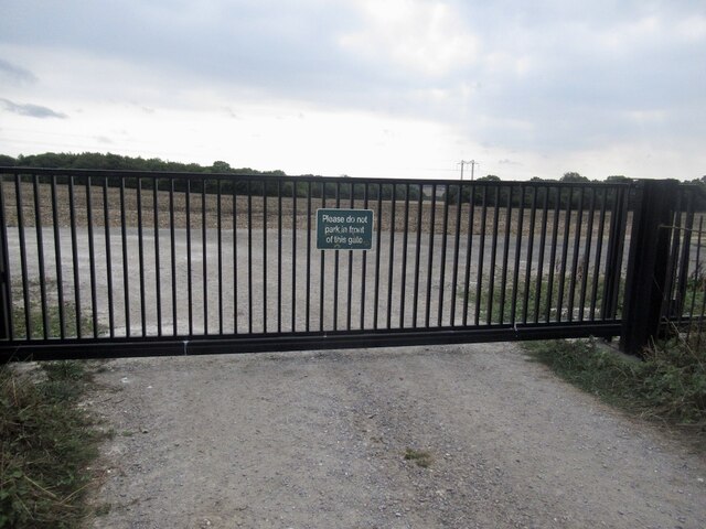
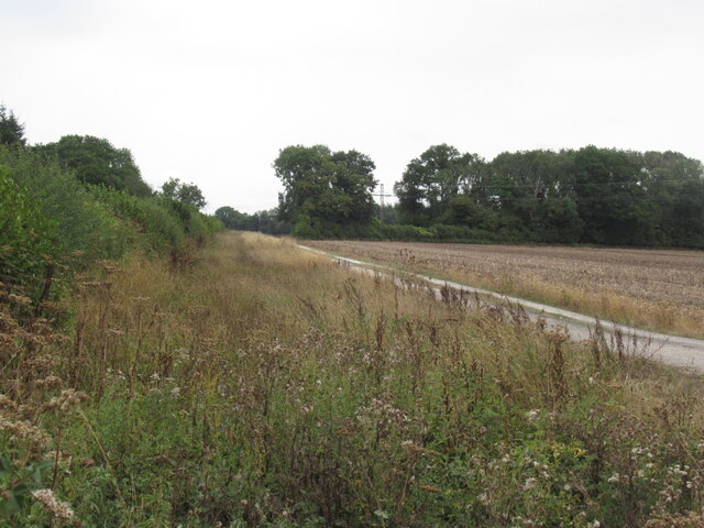
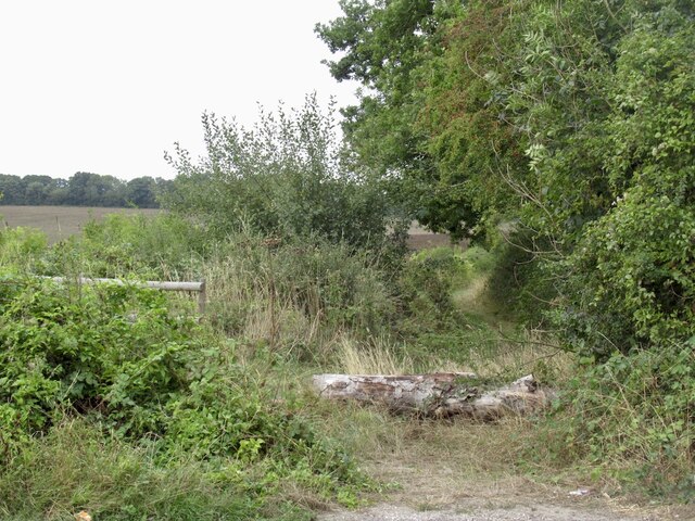
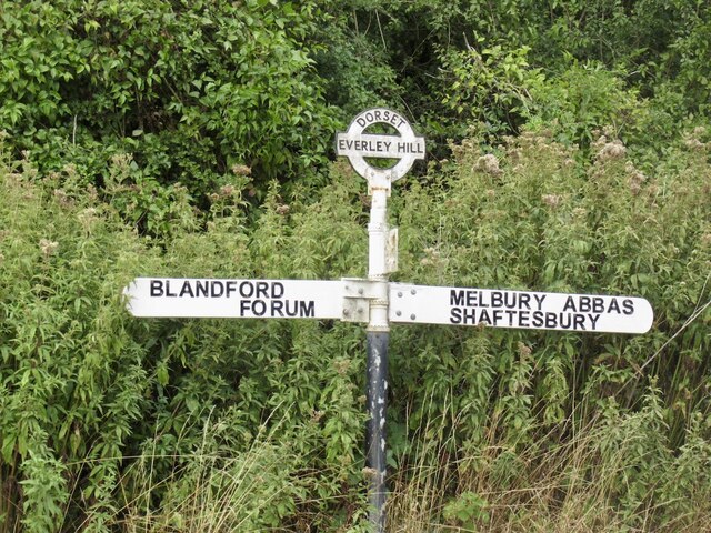
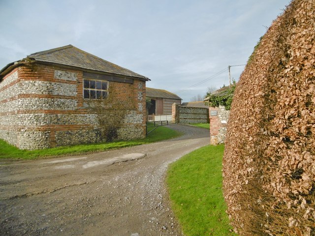
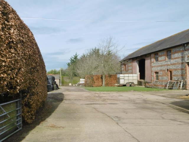
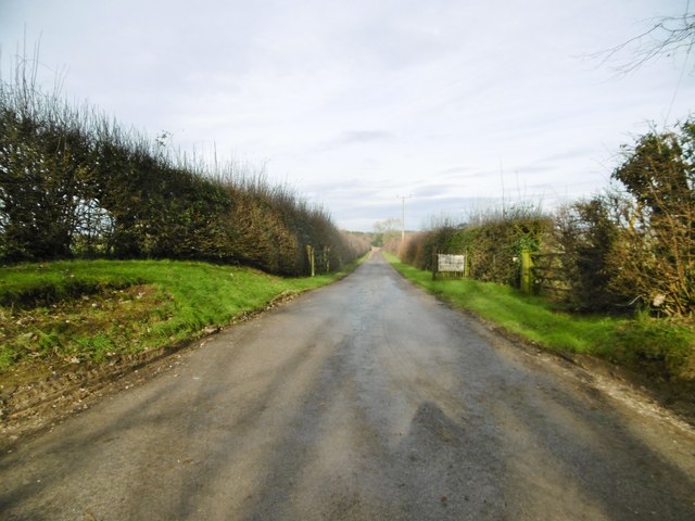
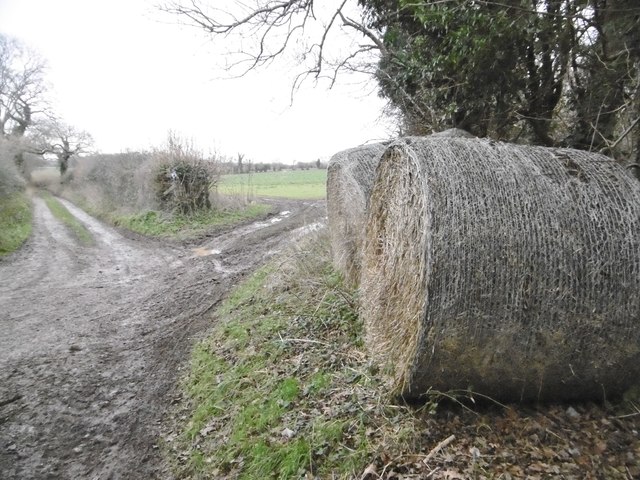
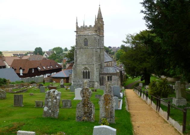
Handcock's Bottom Images
Images are sourced within 2km of 50.915831/-2.1460827 or Grid Reference ST8912. Thanks to Geograph Open Source API. All images are credited.
Handcock's Bottom is located at Grid Ref: ST8912 (Lat: 50.915831, Lng: -2.1460827)
Unitary Authority: Dorset
Police Authority: Dorset
What 3 Words
///dusty.plunger.peroxide. Near Pimperne, Dorset
Nearby Locations
Related Wikis

Iwerne Stepleton
Iwerne Stepleton (anciently Ewern Stapleton, etc.) is a small civil parish and former manor in the county of Dorset, England. The parish comprises about...

Tarrant Gunville
Tarrant Gunville is a village and civil parish in north Dorset, England, situated at the head of the Tarrant Valley on Cranborne Chase five miles (eight...

Eastbury Park
Eastbury Park was a country estate near Tarrant Gunville in Dorset, England. It contained a large mansion designed by Sir John Vanbrugh. The mansion has...

Iwerne Minster
Iwerne Minster ( YOO-ern) is a village and civil parish in Dorset, England. It lies on the edge of the Blackmore Vale, approximately midway between the...
Pimperne
Pimperne ( PIM-pərn) is a village and civil parish in north Dorset, England, situated on Cranborne Chase two miles (three kilometres) northeast of the...
Pimperne Hundred
Pimperne Hundred was a hundred in the county of Dorset, England, containing the following parishes: Bryanston Durweston Fifehead Neville Hammoon Hazelbury...

Stepleton House
Stepleton House is a 17th-century country house in the parish of Iwerne Stepleton in Dorset, situated about 5 kilometres (3 mi) north of Blandford Forum...

Iwerne Courtney
Iwerne Courtney (), also known as Shroton, is a village and civil parish in the English county of Dorset. It lies approximately 4 miles (6 kilometres)...
Have you been to Handcock's Bottom?
Leave your review of Handcock's Bottom below (or comments, questions and feedback).