Alston Reservoir Number 2
Lake, Pool, Pond, Freshwater Marsh in Lancashire Ribble Valley
England
Alston Reservoir Number 2
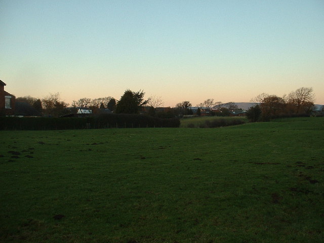
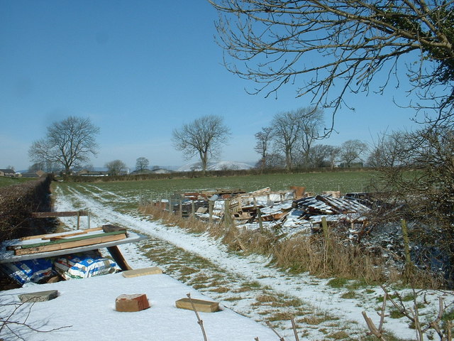
Alston Reservoir Number 2 is a man-made freshwater reservoir located in the county of Lancashire, England. Situated near the village of Alston, it serves as an important water resource for the local community. The reservoir covers an area of approximately 10 acres and is nestled amidst picturesque surroundings.
The reservoir is primarily used for water storage and supply purposes. It collects water from the surrounding hills and streams, which then undergoes treatment before being distributed to nearby towns and villages. This ensures a reliable water supply for domestic and industrial needs in the area.
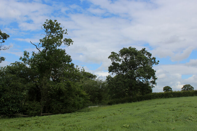
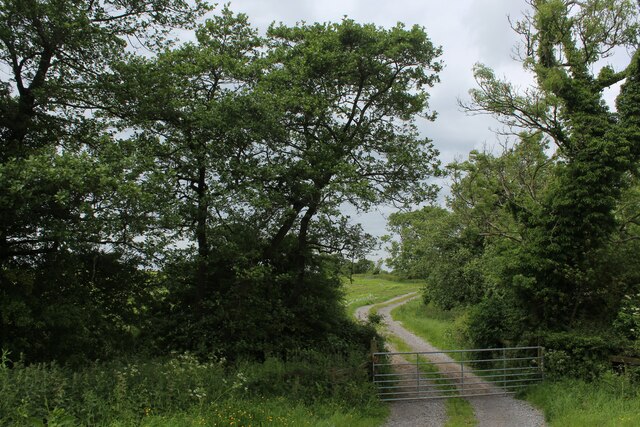
The reservoir's calm waters provide a serene atmosphere, attracting visitors who seek tranquility and a connection with nature. Its surrounding vegetation includes reed beds, shrubs, and trees, which offer habitat and shelter for various bird species and other wildlife. Birdwatchers often visit the reservoir to observe a diverse array of waterfowl, such as ducks, geese, and swans.
Fishing is a popular activity at Alston Reservoir Number 2. Anglers can be seen casting their lines in search of carp, perch, roach, and other freshwater fish species that inhabit the reservoir. The calm and peaceful environment makes it an ideal spot for fishing enthusiasts to enjoy their hobby.
Overall, Alston Reservoir Number 2 is a vital water resource for Lancashire, providing a picturesque setting for nature enthusiasts and offering recreational activities such as fishing. Its scenic beauty and ecological significance make it a cherished feature of the local landscape.
If you have any feedback on the listing, please let us know in the comments section below.
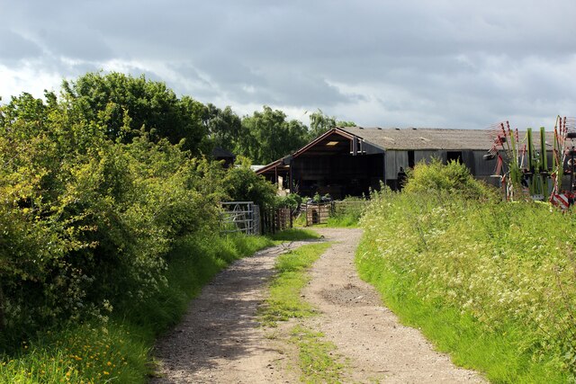
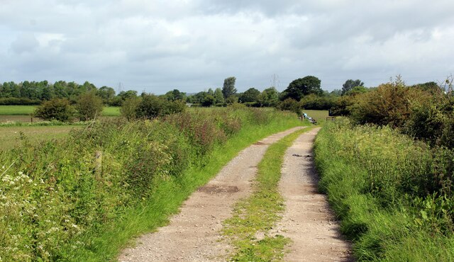
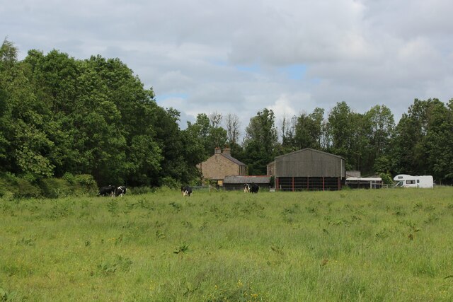
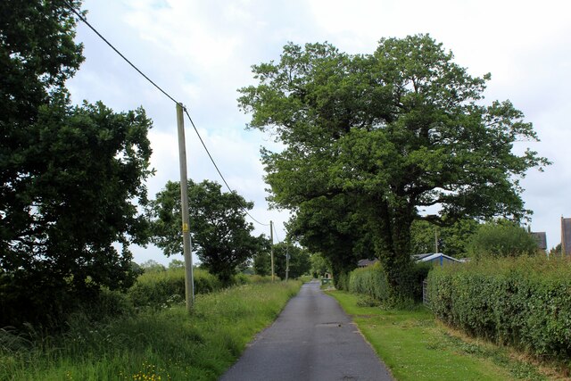
Alston Reservoir Number 2 Images
Images are sourced within 2km of 53.821999/-2.6020554 or Grid Reference SD6036. Thanks to Geograph Open Source API. All images are credited.

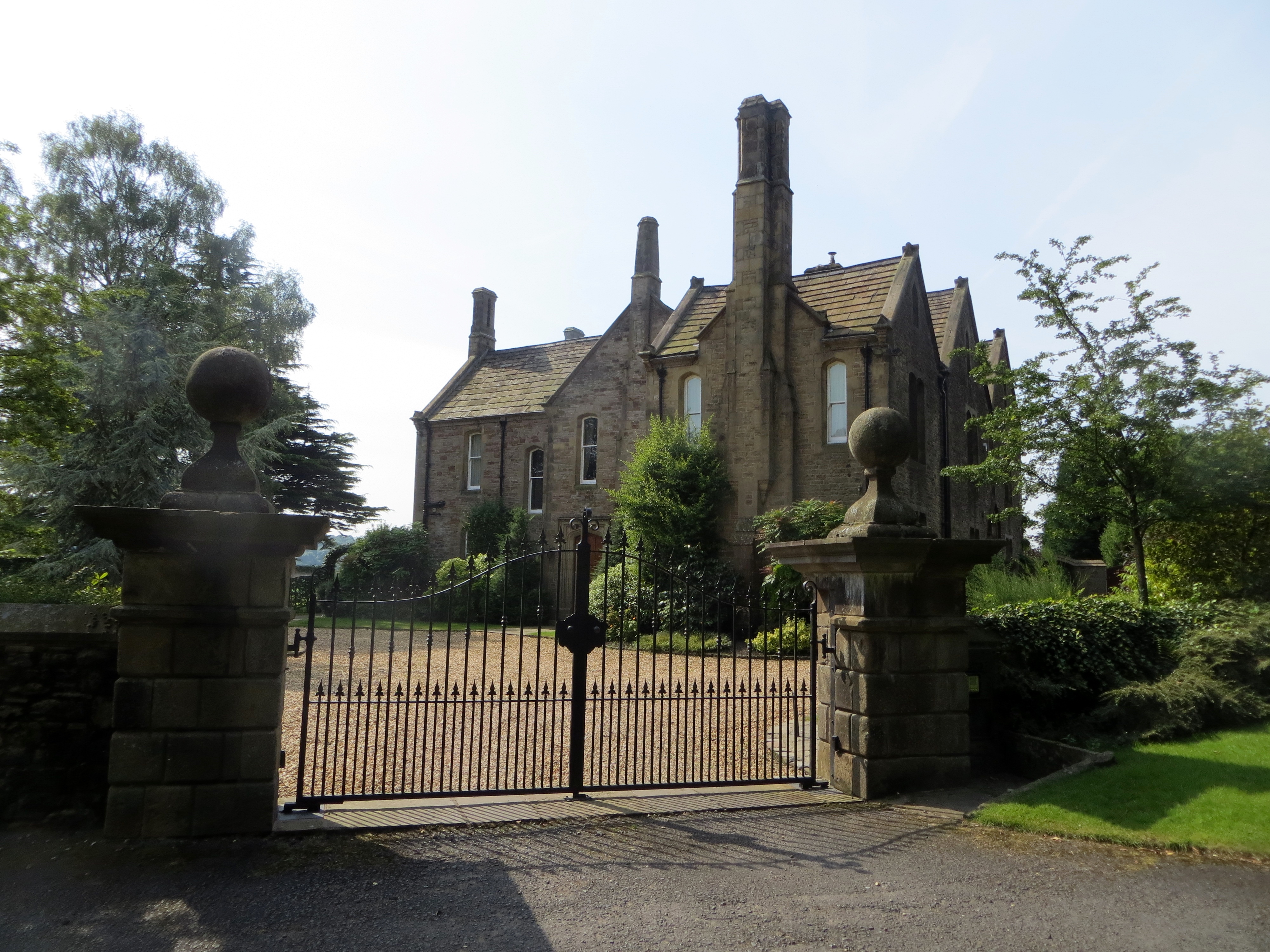
![Cumeragh Lane [B5269] near Longridge](https://s1.geograph.org.uk/photos/11/32/113253_c3acff1d.jpg)
Alston Reservoir Number 2 is located at Grid Ref: SD6036 (Lat: 53.821999, Lng: -2.6020554)
Administrative County: Lancashire
District: Ribble Valley
Police Authority: Lancashire
What 3 Words
///improvise.attitudes.resonates. Near Longridge, Lancashire
Nearby Locations
Related Wikis

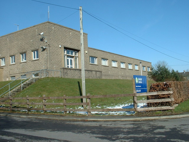
St Cecilia's Roman Catholic High School
St Cecilia's Roman Catholic High School is a coeducational secondary school in Longridge in the English county of Lancashire. The school is named after...
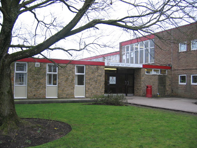
Longridge High School
Longridge High School is a coeducational secondary school located in Longridge in the English county of Lancashire.Previously a community school administered...

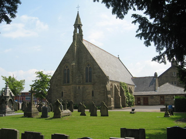
St Paul's Church, Longridge
St Paul's Church stands off Berry Lane, Longridge, Lancashire, England. It is an active Anglican parish church in the diocese of Blackburn. The church...
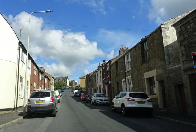
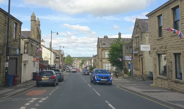
Longridge
Longridge is a market town and civil parish in the borough of Ribble Valley in Lancashire, England. It is situated 8 miles (13 km) north-east of the city...
Longridge railway station (England)
Longridge railway station was a passenger terminus of the Preston and Longridge Railway. It served the town of Longridge in Lancashire, England. The line...
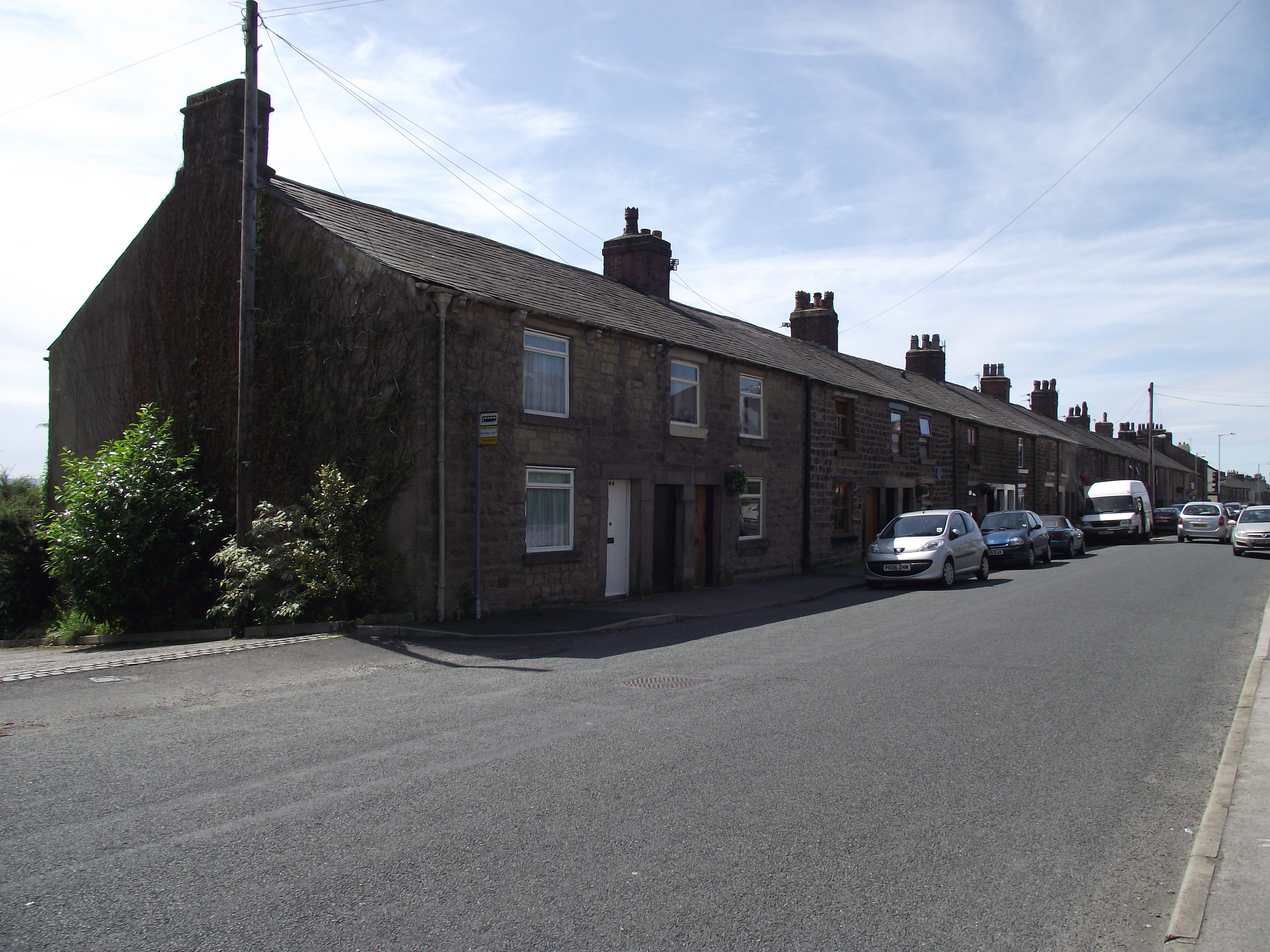
Club Row, Longridge
Club Row is a row of sandstone terraced houses on Higher Road in the English market town of Longridge, Lancashire, built between 1793 and 1804. Grade II...
Hothersall
Hothersall is a civil parish in the Ribble Valley district, in Lancashire, England. The parish, which is on the north bank of the River Ribble, is rural...

Longridge Town F.C.
Longridge Town Football Club is a football club based in Longridge, Lancashire, England. Nicknamed the Ridge, they are currently members of the North West...
Related Videos
Visit to Beacon Fell Holiday Park Lancashire #exploring #wandering #motorhome #vanlife
The wandering whites are off in the motorhome this weekend we are staying at Beacon Fell Caravan Park, great facilities for ...

Walking down Berry Lane | Longridge, Lancashire | Walking Tour in 4K
This is part two of a walking tour through Longridge Town Centre. This one with improvised commentary, I have also recorded a ...
Walking Up Berry Lane | Longridge, Lancashire | Walking Tour in 4K
This is part one of a walking tour through Longridge Town Centre. This one without commentary, I have recorded a part 2 with ...

First Snow ❄️ in Preston, Lancashire - commute to work, dark fell run and hike on Longridge Fell
First Snow in Preston, Lancashire. My commute to work in the first snow, evening dark fell run on Longridge Fell and a hike on ...
Nearby Amenities
Located within 500m of 53.821999,-2.6020554Have you been to Alston Reservoir Number 2?
Leave your review of Alston Reservoir Number 2 below (or comments, questions and feedback).