Tindale Tarn

Lake, Pool, Pond, Freshwater Marsh in Cumberland Carlisle

England

Tindale Tarn

Tindale Tarn The tarn as seen from a hide at its west end. It's managed as part of the RSPB's Geltsdale reserve.
Tindale Tarn Credit: Trevor Littlewood

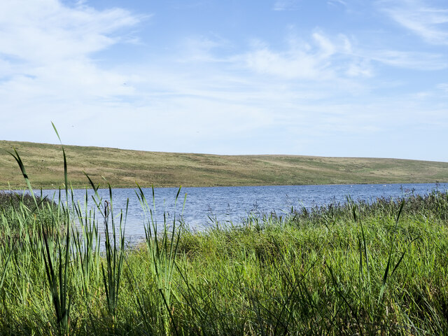
Tindale Tarn is a picturesque freshwater lake located in the county of Cumberland in North West England. Nestled within the breathtaking Lake District National Park, this natural gem offers visitors a tranquil and scenic environment to enjoy.

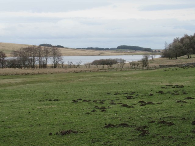
Covering an area of approximately 20 acres, Tindale Tarn boasts crystal-clear waters that reflect the surrounding lush greenery and rugged mountains. The tarn is fed by several small streams that cascade down the slopes, adding to its natural charm. It is situated at an elevation of around 300 meters, providing stunning panoramic views of the surrounding landscape.

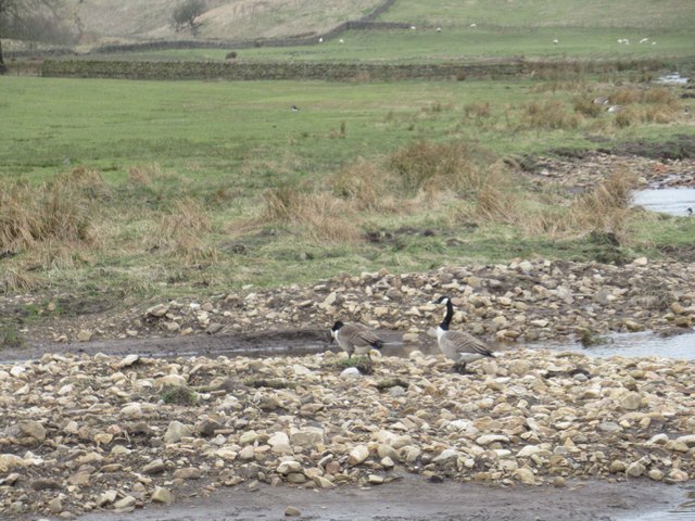
The lake is home to a diverse range of aquatic flora and fauna, including various species of freshwater fish, waterfowl, and insects. The rich biodiversity of Tindale Tarn makes it a popular spot for nature enthusiasts and birdwatchers, who can often observe rare and migratory birds in the area.

Surrounding the tarn is a mix of woodland and grassy meadows, creating a haven for wildlife. The lake's shores are dotted with beautiful wildflowers, adding bursts of color to the landscape during the warmer months.

Visitors can enjoy a peaceful walk along the tarn's perimeter, taking in the sights and sounds of nature. Fishing is also permitted in the lake, providing anglers with an opportunity to catch trout or perch.

Tindale Tarn offers a serene and idyllic setting, making it a must-visit destination for those seeking tranquility and natural beauty in the heart of the Lake District.

If you have any feedback on the listing, please let us know in the comments section below.
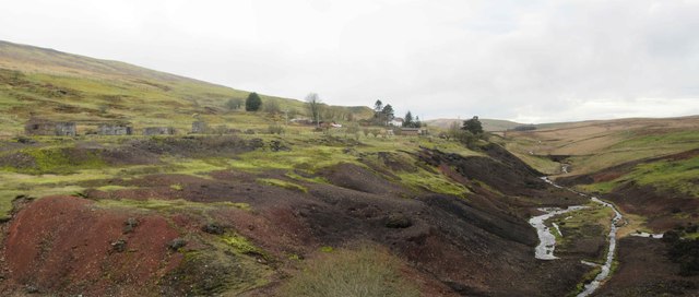
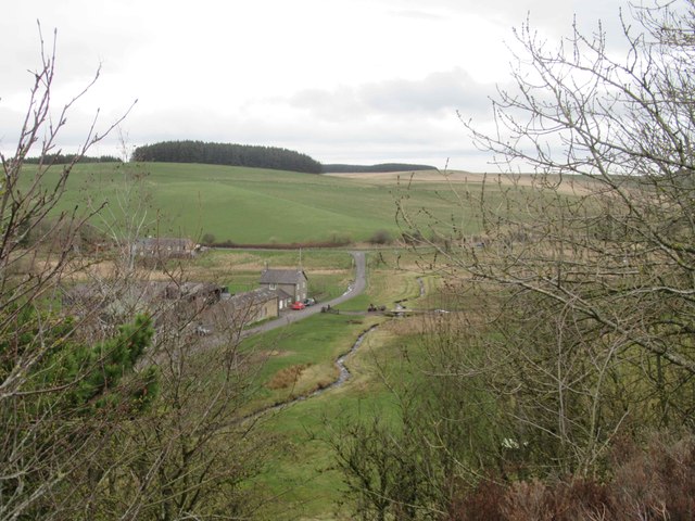
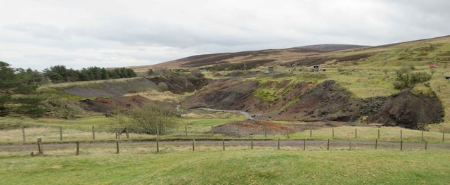
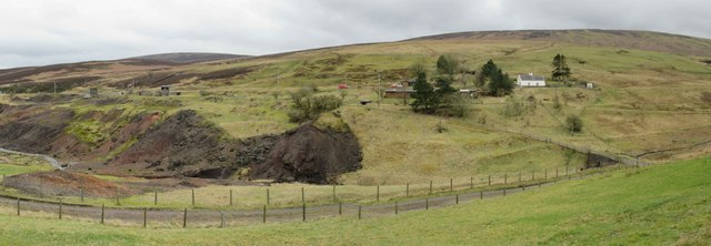
Tindale Tarn Images

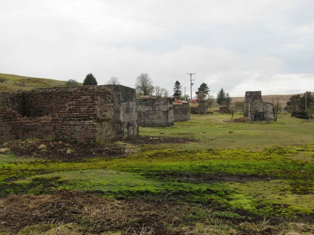
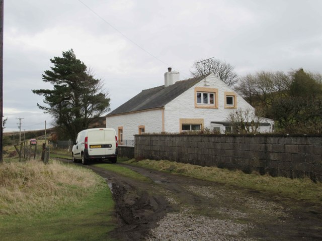
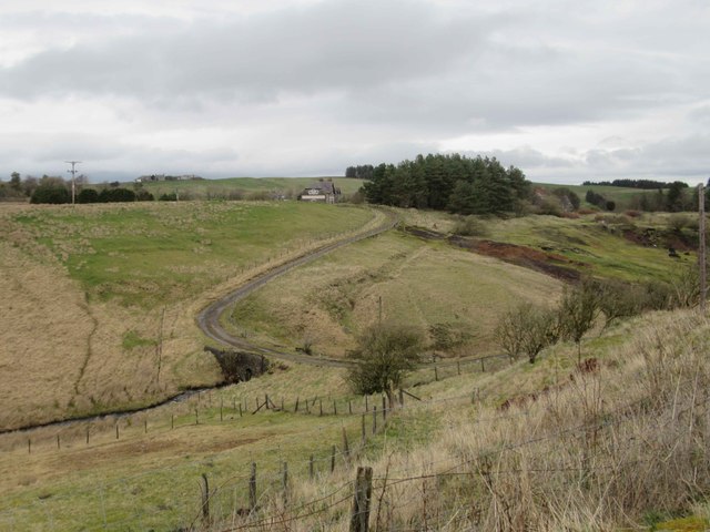
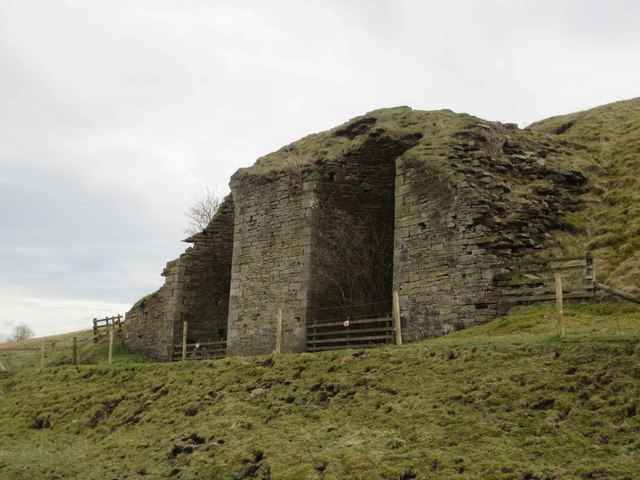
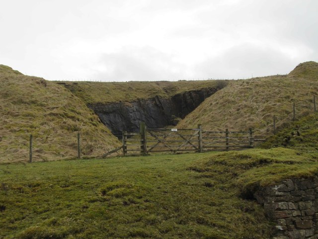
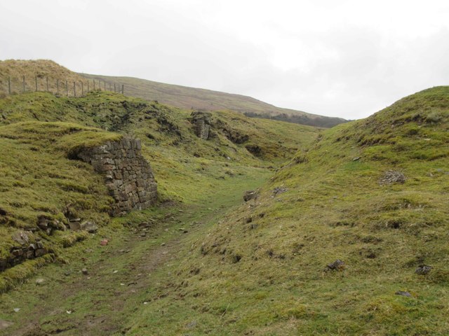
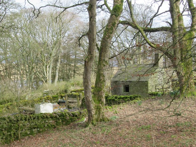
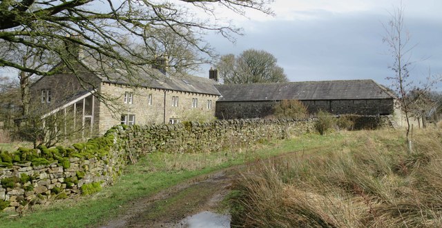
Images are sourced within 2km of 54.921656/-2.6174004 or Grid Reference NY6058. Thanks to Geograph Open Source API. All images are credited.

Tindale Tarn The tarn as seen from a hide at its west end. It's managed as part of the RSPB's Geltsdale reserve.
Tindale Tarn
The tarn as seen from a hide at its west end. It's managed as part of the RSPB's Geltsdale reserve.
Riggfoot Farm and environs near Tindale A view of this pastoral scene captured from a footpath/cycleway utilising the route of a former railway.

This photograph was taken during the Coronavirus (COVID-19) pandemic of 2020/21/22.
Riggfoot Farm and environs near Tindale
A view of this pastoral scene captured from a footpath/cycleway utilising the route of a former railway. This photograph was taken during the Coronavirus (COVID-19) pandemic of 2020/21/22.
Tarn Beck and the former site of Tindale Spelter and Fume Works An industrial wasteland produced as a result of the production of zinc in the 19 and early 20th century.  Refer to the Historic England entry at <span class="nowrap"><a title="https://historicengland.org.uk/listing/the-list/list-entry/1019761?section=official-list-entry" rel="nofollow ugc noopener" href="https://historicengland.org.uk/listing/the-list/list-entry/1019761?section=official-list-entry">Link</a><img style="margin-left:2px;" alt="External link" title="External link - shift click to open in new window" src="https://s1.geograph.org.uk/img/external.png" width="10" height="10"/></span> for further information.

This photograph was taken during the Coronavirus (COVID-19) pandemic of 2020/21/22.
Tarn Beck and the former site of Tindale Spelter and Fume Works
An industrial wasteland produced as a result of the production of zinc in the 19 and early 20th century. Refer to the Historic England entry at LinkExternal link for further information. This photograph was taken during the Coronavirus (COVID-19) pandemic of 2020/21/22.
Former Emporium, Tindale Since my last photo of this house it has been sold and restoration to the outside has been carried out.  It much more distinctive in appearance and the restoration has enhanced the appearance of this property.
<a title="https://www.geograph.org.uk/photo/898697" href="https://www.geograph.org.uk/photo/898697">Link</a>
Former Emporium, Tindale
Since my last photo of this house it has been sold and restoration to the outside has been carried out. It much more distinctive in appearance and the restoration has enhanced the appearance of this property. Link
Spoil Heaps from Zinc Mining and Tarn Beck
Riggfoot Farm
Riggfoot Farm
Spoil Heaps from Zinc Mining and Tarn Beck
Spoil Heaps from Zinc Mining and Tarn Beck View towards Bishophill (white house) and Brithwaite Forest.
Spoil Heaps from Zinc Mining and Tarn Beck
View towards Bishophill (white house) and Brithwaite Forest.
Possible Remains of the Zinc Smelt Mill
Bishophill No doubt housed workers from the zinc mine and smelter.
Bishophill
No doubt housed workers from the zinc mine and smelter.
View towards Former Emporium, Tindale Tarn Beck valley.
View towards Former Emporium, Tindale
Tarn Beck valley.
Lime Kiln
Lime Kiln
Disused Quarry Entrance
Possible Bridge Abutment This may have been a bridge supporting a small mineral line over the main tramway for the zinc mine.  If so it may have been built to transport rock from the quarry.
Possible Bridge Abutment
This may have been a bridge supporting a small mineral line over the main tramway for the zinc mine. If so it may have been built to transport rock from the quarry.
Possible Potting Shed, Tarn House
Tarn House When we first walked past this house the footpath went in front of the building which has now been diverted tot the rear of the house.
Tarn House
When we first walked past this house the footpath went in front of the building which has now been diverted tot the rear of the house.
Canadian Geese
Canadian Geese
Tindale Tarn (nature reserve)
Show me another place!

Tindale Tarn is located at Grid Ref: NY6058 (Lat: 54.921656, Lng: -2.6174004)

Administrative County: Cumbria

District: Carlisle

Police Authority: Cumbria

What 3 Words

///limitless.initiates.snooze. Near Brampton, Cumbria

Nearby Locations

Tarn House Tindale Tarn

Related Wikis

Geltsdale RSPB reserve

Geltsdale RSPB reserve is a nature reserve in Geltsdale, Cumbria, England. The Royal Society for the Protection of Birds manages the site for upland birds...

Midgeholme

Midgeholme is a hamlet and civil parish in City of Carlisle district, Cumbria, England. At the 2001 census the parish had a population of 67.The parish...

Tindale, Cumbria

Tindale or Tindale Fell is a hamlet in the parish of Farlam in the City of Carlisle district of the English county of Cumbria. It is to the south of the...

Hallbankgate

Hallbankgate is a village in Cumbria, England, 13 miles (21 km) east of Carlisle. A former coal and lead mining village, it straddles the A689 Brampton...

Cold Fell (Pennines)

Cold Fell is a mountain in the northern Pennines, in Cumbria, England. Lying among the northernmost uplands of the North Pennines AONB, it is the most...

Midgeholme Coalfield

The Midgeholme Coalfield is a coalfield in Midgeholme, on the border of Cumbria with Northumberland in northern England. It is the largest of a series...

Nether Denton

Nether Denton is a scattered settlement and civil parish in rural Cumbria, England, situated about 12 miles (19 km) north-east of Carlisle, by the A69...

Geltsdale & Glendue Fells

Geltsdale & Glendue Fells is a Site of Special Scientific Interest in the North Pennines, England. The site has an area of 8059 ha, partly in Cumbria...

Nearby Amenities

Located within 500m of 54.921656,-2.6174004
Abandoned: yes
Man Made: mineshaft
Lat/Long: 54.9242663/-2.6140516
Natural: sinkhole
Lat/Long: 54.9242076/-2.6169927
Historic: peel_house
Lat/Long: 54.9193474/-2.6160825
Power: pole
Lat/Long: 54.9190022/-2.6181505
The data included in this document is from www.openstreetmap.org. The data is made available under ODbL.

Have you been to Tindale Tarn?

Leave your review of Tindale Tarn below (or comments, questions and feedback).