Longridge
Civil Parish in Lancashire Ribble Valley
England
Longridge
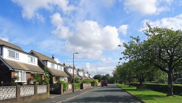
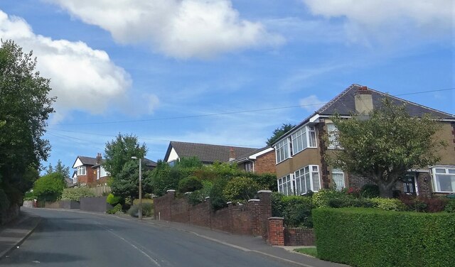
Longridge is a civil parish located in the county of Lancashire, England. Situated to the west of the city of Preston, it is part of the Ribble Valley borough. With a population of around 8,000, it is a vibrant and bustling community.
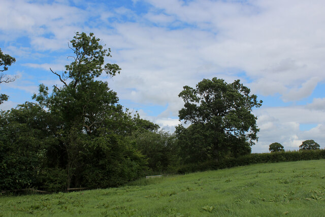
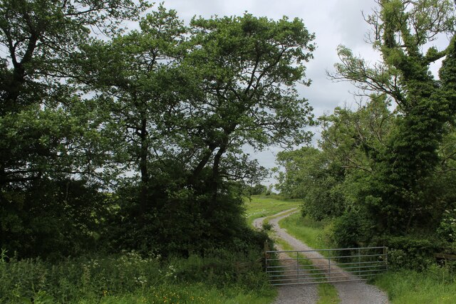
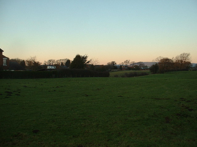
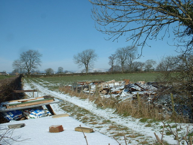
The town of Longridge is nestled in the picturesque countryside, offering residents and visitors stunning views of the surrounding hills and valleys. It is renowned for its natural beauty and is often referred to as the "Gateway to the Ribble Valley." The area is a haven for outdoor enthusiasts, with numerous walking and cycling trails, as well as opportunities for fishing and horse riding.
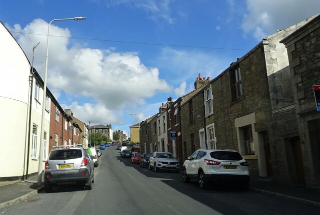
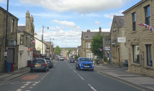
Longridge has a rich history, dating back to the Roman era. The town developed around a medieval church, which still stands today as a testament to its heritage. It has grown over the years to become a thriving market town, with a range of local shops, restaurants, and businesses serving the community.
The town is also home to several schools, providing education for children of all ages. Longridge High School is a notable institution, known for its strong academic performance and extracurricular activities.
Longridge boasts a vibrant community spirit, with numerous events and festivals taking place throughout the year. The annual Longridge Agricultural Show is a highlight, attracting visitors from near and far.
Overall, Longridge offers a charming and picturesque place to live, with a strong sense of community and plenty of opportunities for outdoor pursuits.
If you have any feedback on the listing, please let us know in the comments section below.
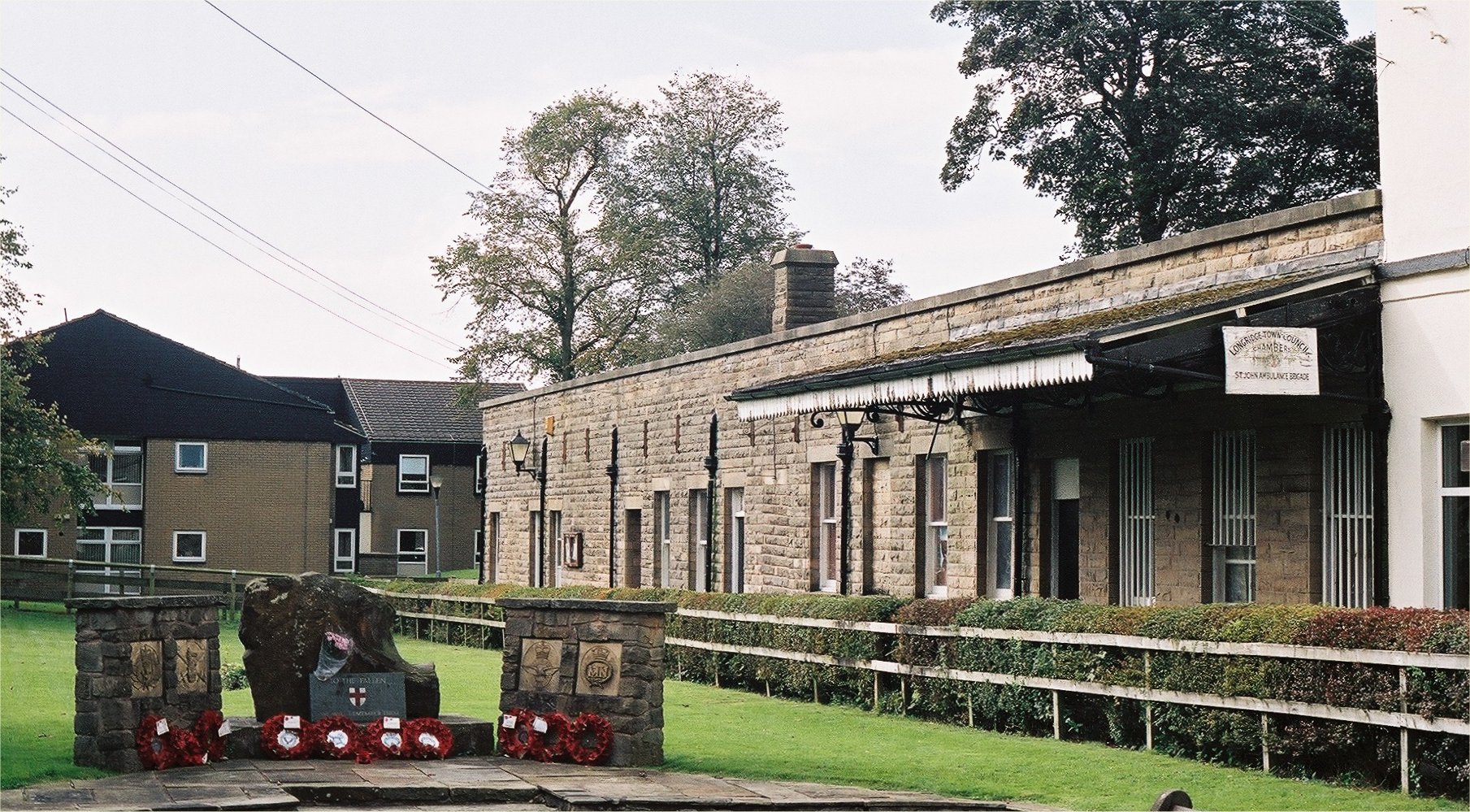
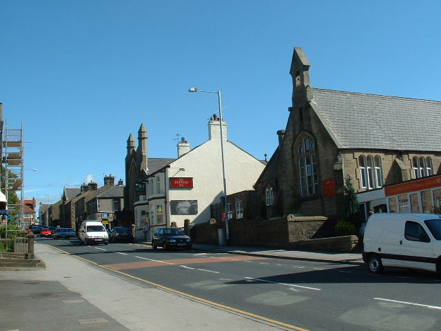
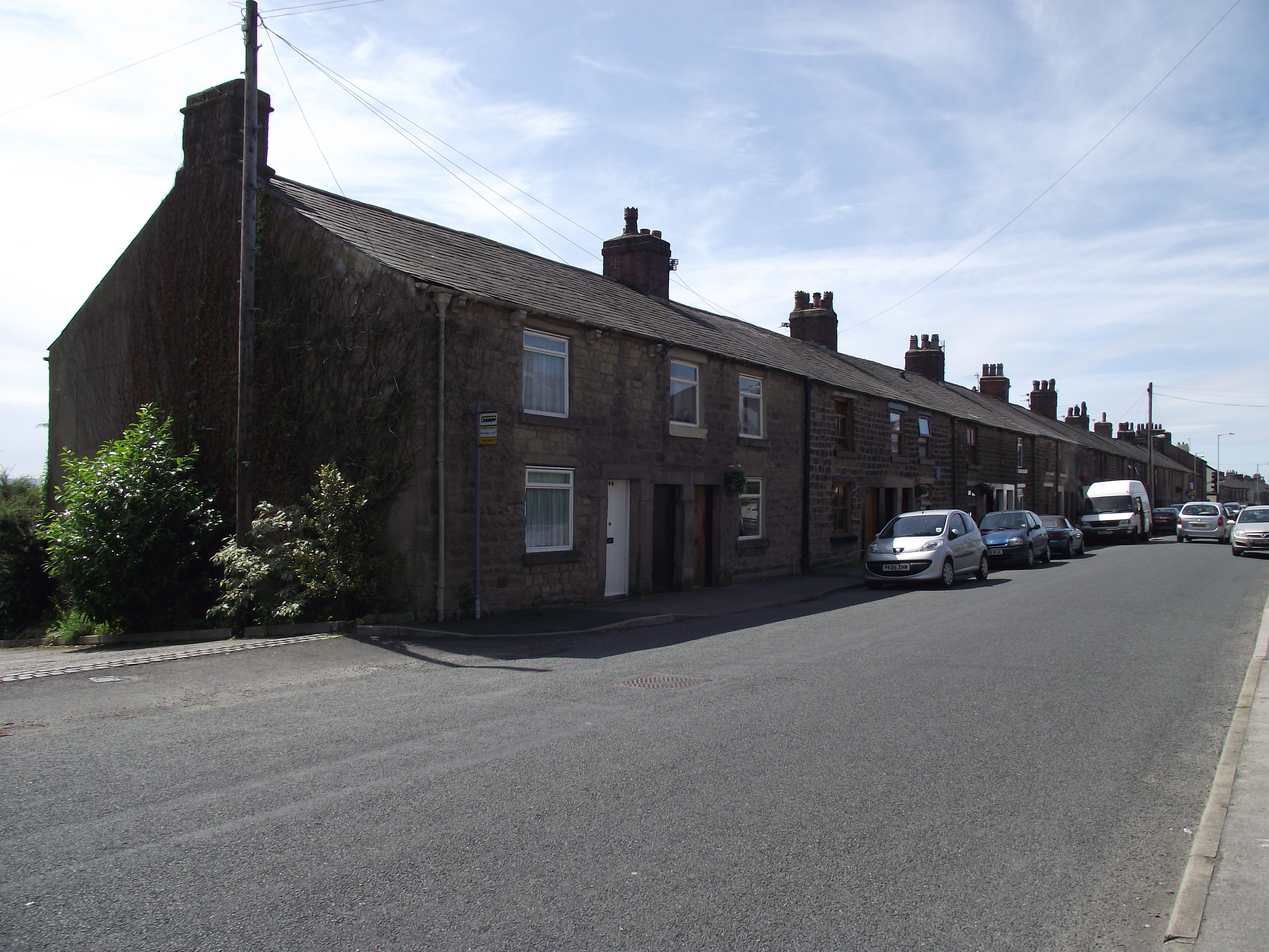
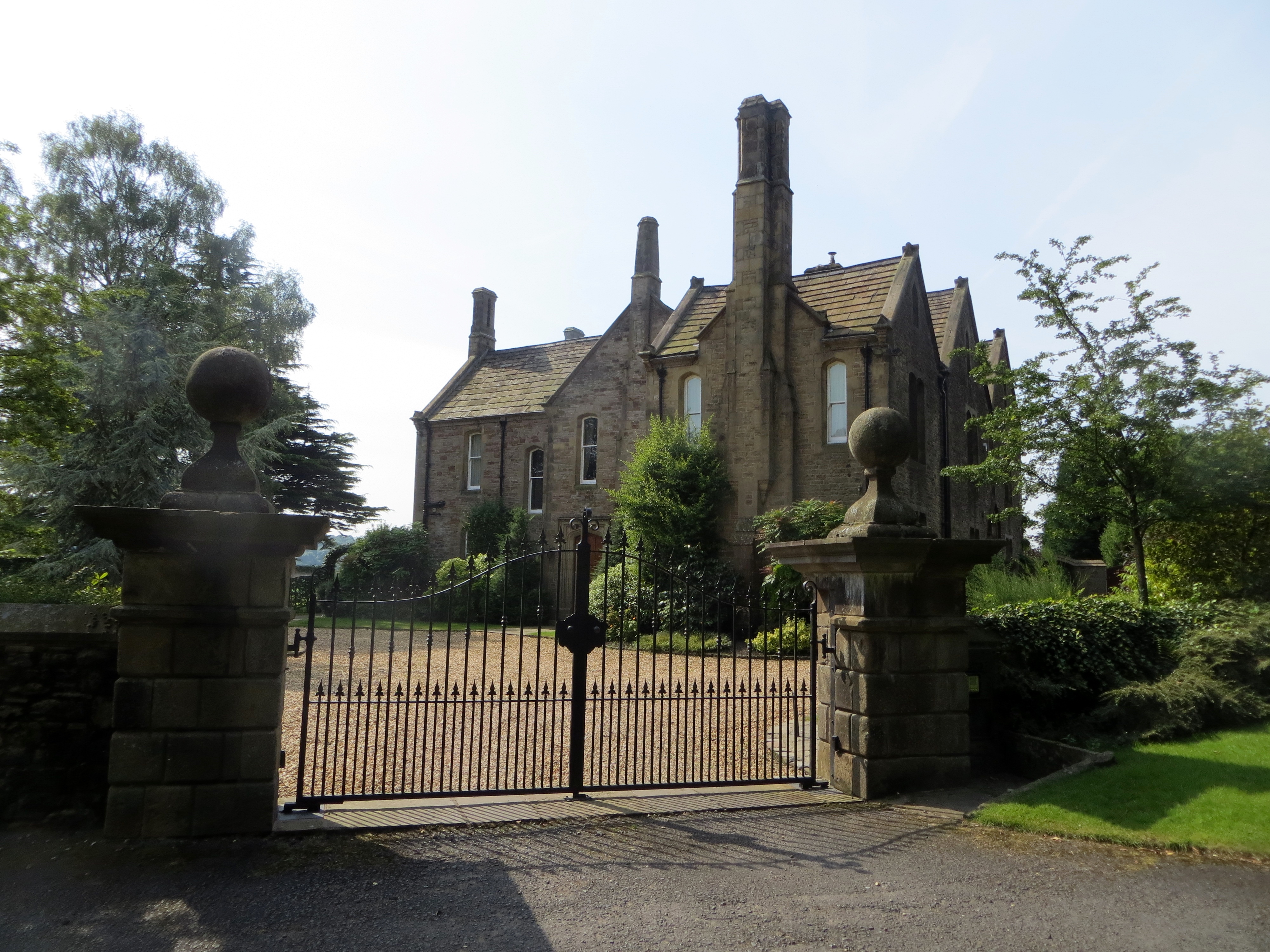
Longridge Images
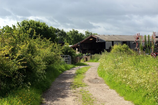
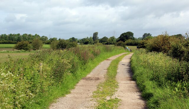
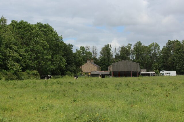
Images are sourced within 2km of 53.820583/-2.604907 or Grid Reference SD6036. Thanks to Geograph Open Source API. All images are credited.

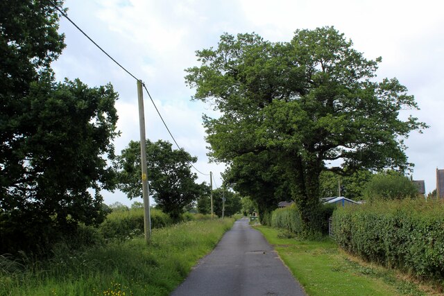
![Cumeragh Lane [B5269] near Longridge](https://s1.geograph.org.uk/photos/11/32/113253_c3acff1d.jpg)

Longridge is located at Grid Ref: SD6036 (Lat: 53.820583, Lng: -2.604907)
Administrative County: Lancashire
District: Ribble Valley
Police Authority: Lancashire
What 3 Words
///epidemics.swung.stereos. Near Longridge, Lancashire
Nearby Locations
Related Wikis

St Cecilia's Roman Catholic High School
St Cecilia's Roman Catholic High School is a coeducational secondary school in Longridge in the English county of Lancashire. The school is named after...
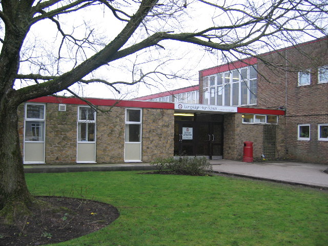
Longridge High School
Longridge High School is a coeducational secondary school located in Longridge in the English county of Lancashire.Previously a community school administered...
Longridge railway station (England)
Longridge railway station was a passenger terminus of the Preston and Longridge Railway. It served the town of Longridge in Lancashire, England. The line...

St Paul's Church, Longridge
St Paul's Church stands off Berry Lane, Longridge, Lancashire, England. It is an active Anglican parish church in the diocese of Blackburn. The church...
Longridge
Longridge is a market town and civil parish in the borough of Ribble Valley in Lancashire, England. It is situated 8 miles (13 km) north-east of the city...
Club Row, Longridge
Club Row is a row of sandstone terraced houses on Higher Road in the English market town of Longridge, Lancashire, built between 1793 and 1804. Grade II...
Hothersall
Hothersall is a civil parish in the Ribble Valley district, in Lancashire, England. The parish, which is on the north bank of the River Ribble, is rural...

Longridge Town F.C.
Longridge Town Football Club is a football club based in Longridge, Lancashire, England. Nicknamed the Ridge, they are currently members of the North West...
Nearby Amenities
Located within 500m of 53.820583,-2.604907Have you been to Longridge?
Leave your review of Longridge below (or comments, questions and feedback).