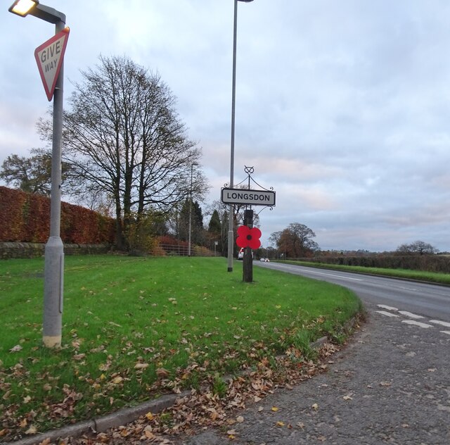
Longsdon
Civil Parish in Staffordshire Staffordshire Moorlands
England
Longsdon

Longsdon is a civil parish located in the county of Staffordshire, England. Situated approximately 3 miles south of Leek, it is a small rural community with a population of around 400 people. The parish is part of the Staffordshire Moorlands district.
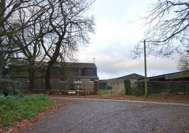
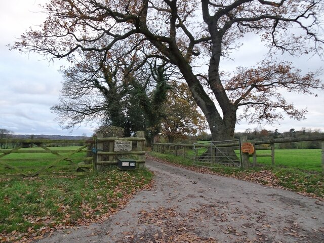
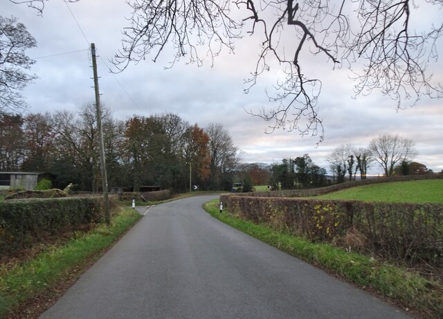
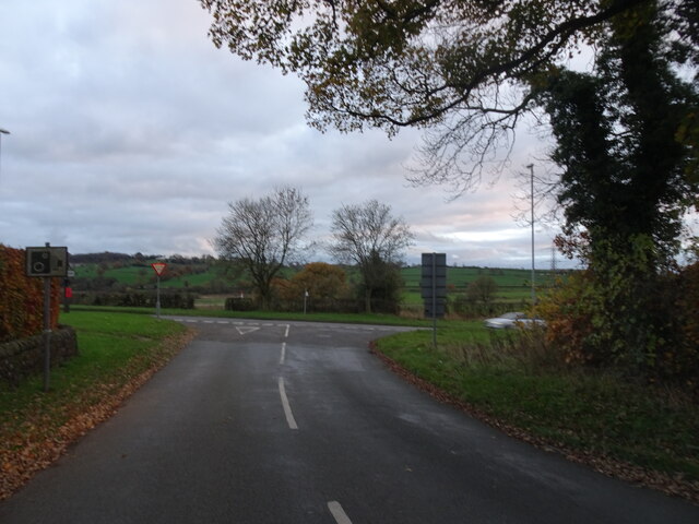
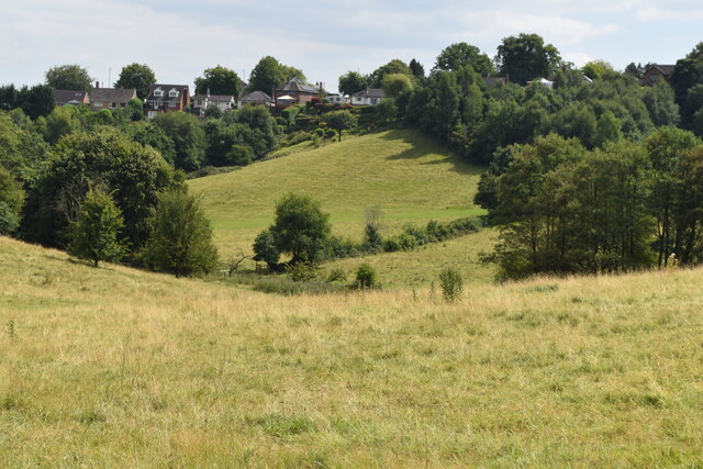
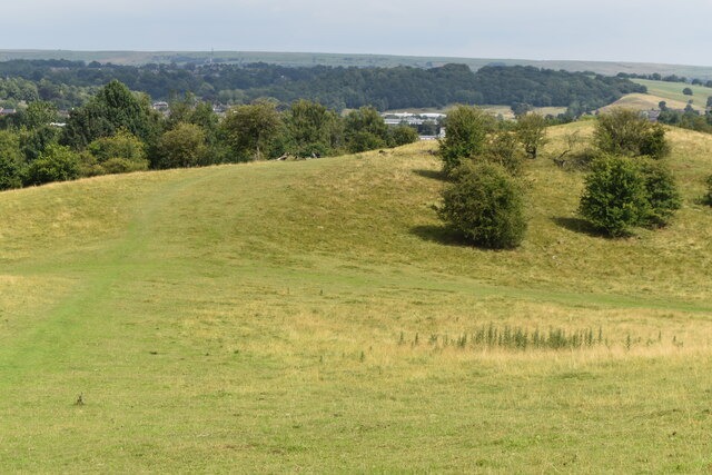
Longsdon is known for its picturesque countryside, surrounded by rolling hills and farmland. The village itself is quaint and peaceful, offering a sense of tranquility to its residents and visitors. It is characterized by a mix of traditional stone cottages and more modern houses.
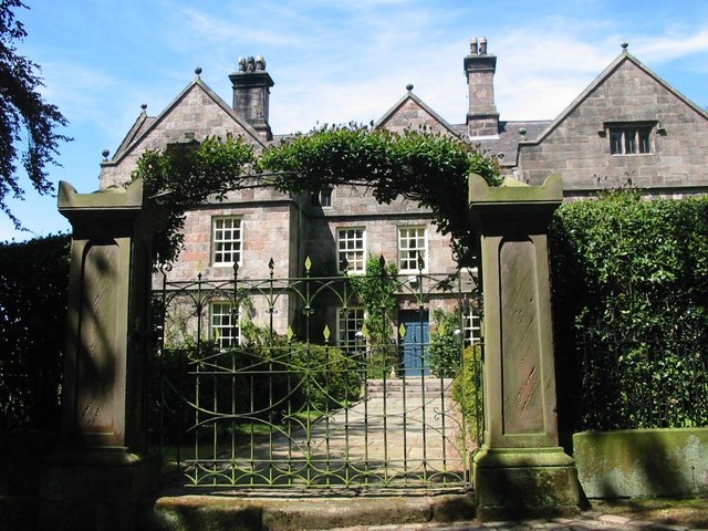
The parish has a rich history dating back many centuries. There are several historic landmarks in the area, including the Grade II listed Longsdon Hall, a country house built in the early 17th century. There is also St Chad's Church, a Norman church that has stood in the village for over 900 years.
While Longsdon is primarily a residential area, it is conveniently located near the town of Leek, which provides a range of amenities and services. The village itself has a local pub, The Black Lion, which serves as a social hub for the community.
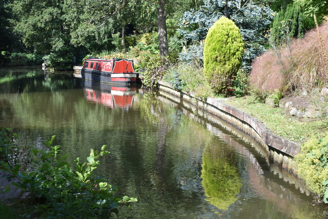
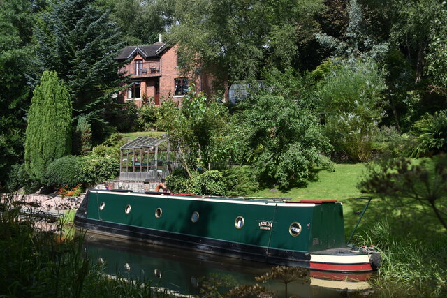
Longsdon offers plenty of opportunities for outdoor activities, with numerous footpaths and bridleways crisscrossing the surrounding countryside. The area is popular with walkers, cyclists, and nature enthusiasts, who can explore the beautiful landscapes and enjoy the peaceful surroundings.
Overall, Longsdon is a charming and idyllic village, offering a close-knit community and a peaceful rural lifestyle.
If you have any feedback on the listing, please let us know in the comments section below.
Longsdon Images
Images are sourced within 2km of 53.093969/-2.071452 or Grid Reference SJ9555. Thanks to Geograph Open Source API. All images are credited.


Longsdon is located at Grid Ref: SJ9555 (Lat: 53.093969, Lng: -2.071452)
Administrative County: Staffordshire
District: Staffordshire Moorlands
Police Authority: Staffordshire
What 3 Words
///affords.indicate.mysteries. Near Leek, Staffordshire
Nearby Locations
Related Wikis

Longsdon
Longsdon is a village and civil parish in the Staffordshire Moorlands district of Staffordshire, England, about 1.5 miles (2.4 km) southwest of Leek, on...

Westwood College, Leek
Westwood College, formerly known as Westwood High School is a mixed upper school located in Leek, Staffordshire, England. Westwood is set in the grounds...
Westwood Hall
Westwood Hall is a former stately home in Leek, Staffordshire, England. It is a Grade II listed building. It has been a school since 1921, and is now Westwood...
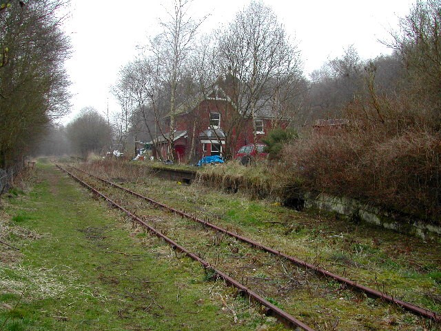
Wall Grange railway station
Wall Grange railway station is a disused railway station in Staffordshire, England. == History == The Stoke–Leek line was opened by the North Staffordshire...

Deep Hayes Country Park
Deep Hayes Country Park is a country park in Staffordshire, England. It is about 3 miles (4.8 km) south-west of Leek, a short distance south of the A53...

Barnfields
Barnfields is a village in Staffordshire, England. The population at the 2011 census can be found under the Weeping Cross Ward of Stafford

The Ashes, Endon
The Ashes near Endon in Staffordshire is a building of historical significance and is Grade II* listed on the English Heritage Register. It was built in...
Horton, Staffordshire
Horton is a village and civil parish in the English county of Staffordshire. The population of the civil parish as taken at the 2011 census was 781. It...
Nearby Amenities
Located within 500m of 53.093969,-2.071452Have you been to Longsdon?
Leave your review of Longsdon below (or comments, questions and feedback).