Town, New
Settlement in Lancashire Ribble Valley
England
Town, New
Town, New, Lancashire is a small, picturesque town located in the county of Lancashire, England. Nestled in the rolling hills of the region, this charming town offers a peaceful and idyllic setting for its residents and visitors alike.
With a population of approximately 5,000 people, Town, New, Lancashire has a close-knit community that prides itself on its friendly and welcoming atmosphere. The town is known for its rich history, dating back to medieval times, and is dotted with historic buildings and landmarks, such as the 14th-century St. Mary's Church and the well-preserved Town Hall.
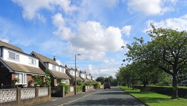
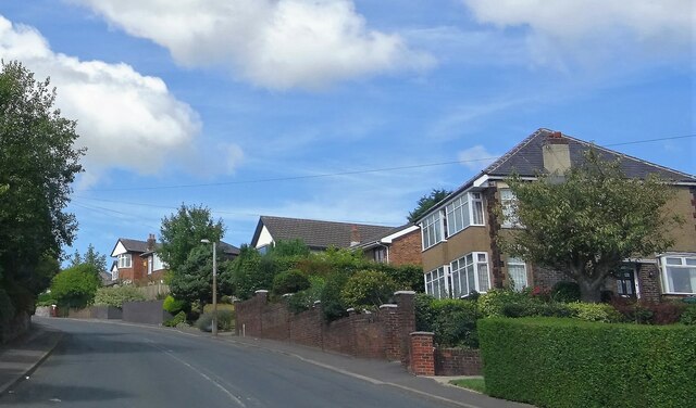
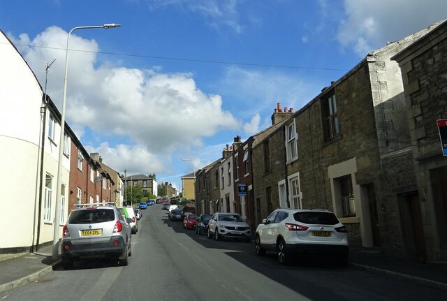
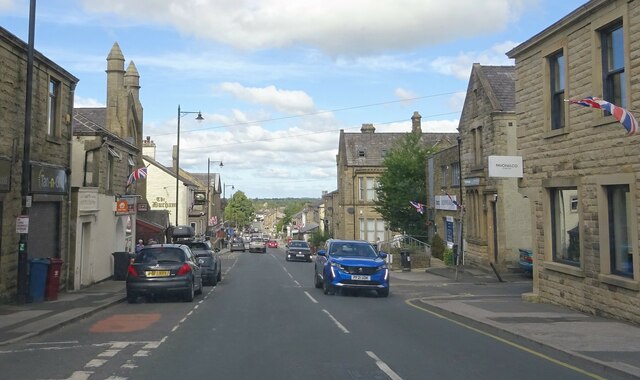
The town center features a variety of independent shops, cafes, and restaurants, offering a range of local and international cuisines. The vibrant weekly market is a popular attraction, where locals and tourists can browse through fresh produce, handmade crafts, and other unique goods.
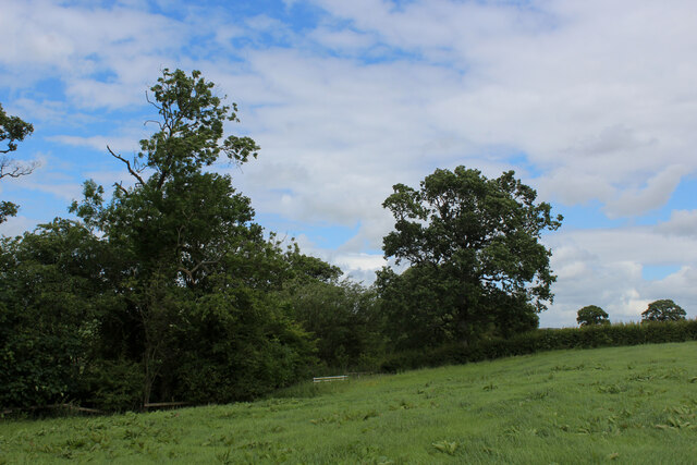
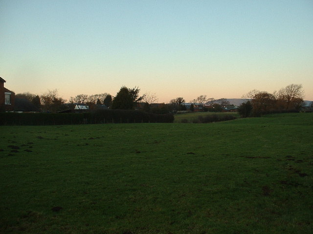
Nature enthusiasts will find themselves in awe of the surrounding countryside, as Town, New, Lancashire is located near several beautiful parks and nature reserves. The nearby Lancashire Moors provide ample opportunities for hiking and exploring, offering stunning views of the town and its surroundings.
In terms of amenities, Town, New, Lancashire boasts excellent educational facilities, including primary and secondary schools, as well as a public library. The town also has convenient transportation links, with regular bus services connecting it to neighboring towns and cities.
Overall, Town, New, Lancashire is a charming and peaceful town, offering a perfect blend of history, natural beauty, and a welcoming community spirit.
If you have any feedback on the listing, please let us know in the comments section below.
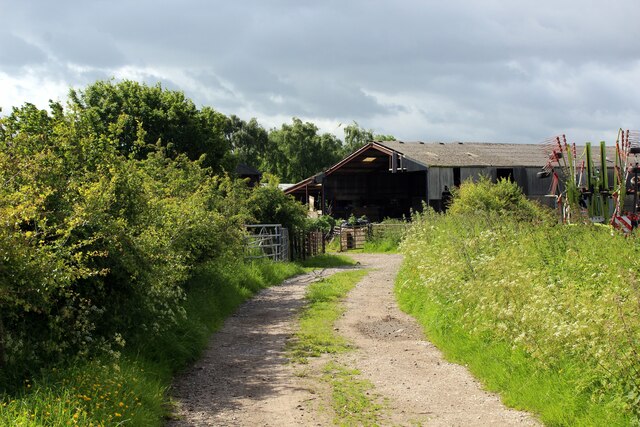
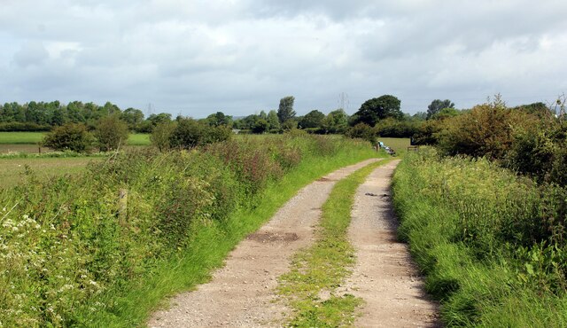
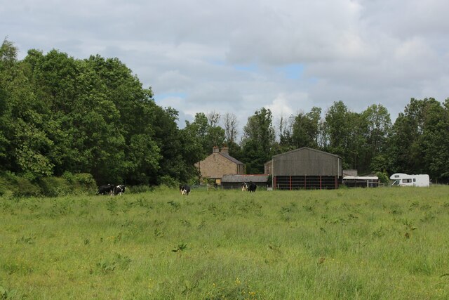
Town, New Images
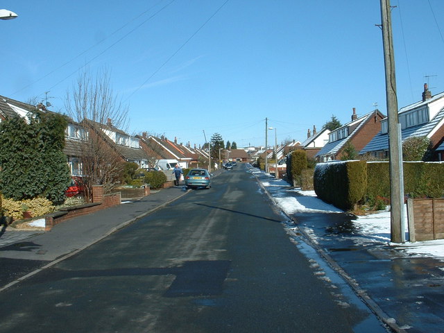
Images are sourced within 2km of 53.824144/-2.604594 or Grid Reference SD6036. Thanks to Geograph Open Source API. All images are credited.

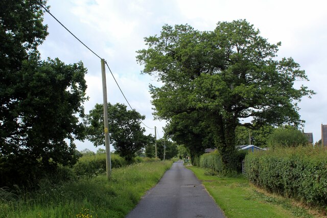
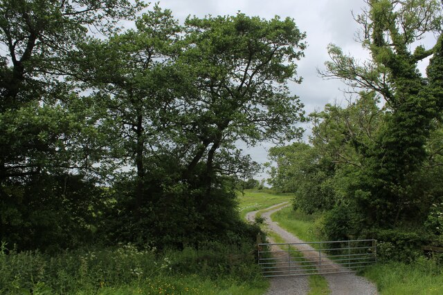
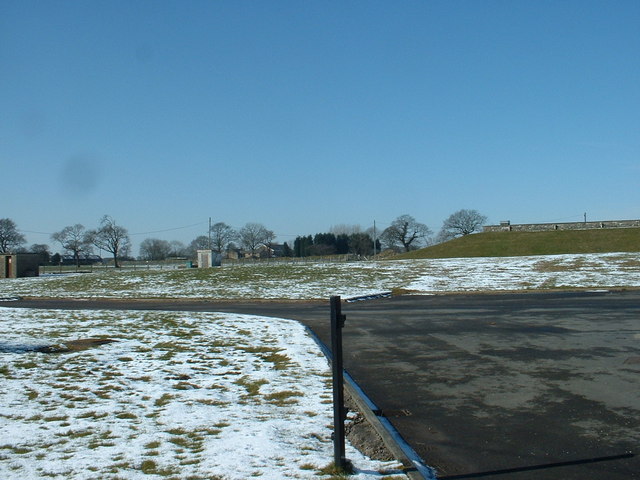
![Cumeragh Lane [B5269] near Longridge](https://s1.geograph.org.uk/photos/11/32/113253_c3acff1d.jpg)

Town, New is located at Grid Ref: SD6036 (Lat: 53.824144, Lng: -2.604594)
Administrative County: Lancashire
District: Ribble Valley
Police Authority: Lancashire
What 3 Words
///finely.gravel.crossings. Near Longridge, Lancashire
Nearby Locations
Related Wikis

St Cecilia's Roman Catholic High School
St Cecilia's Roman Catholic High School is a coeducational secondary school in Longridge in the English county of Lancashire. The school is named after...
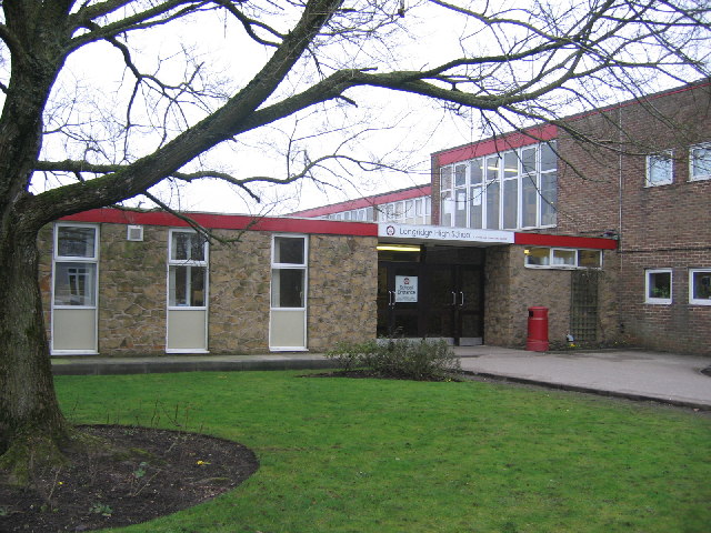
Longridge High School
Longridge High School is a coeducational secondary school located in Longridge in the English county of Lancashire.Previously a community school administered...
Longridge railway station (England)
Longridge railway station was a passenger terminus of the Preston and Longridge Railway. It served the town of Longridge in Lancashire, England. The line...

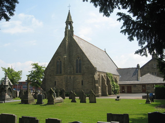
St Paul's Church, Longridge
St Paul's Church stands off Berry Lane, Longridge, Lancashire, England. It is an active Anglican parish church in the diocese of Blackburn. The church...
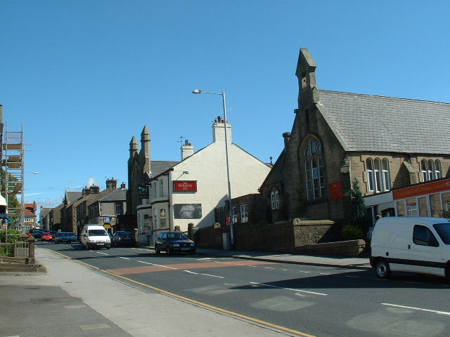
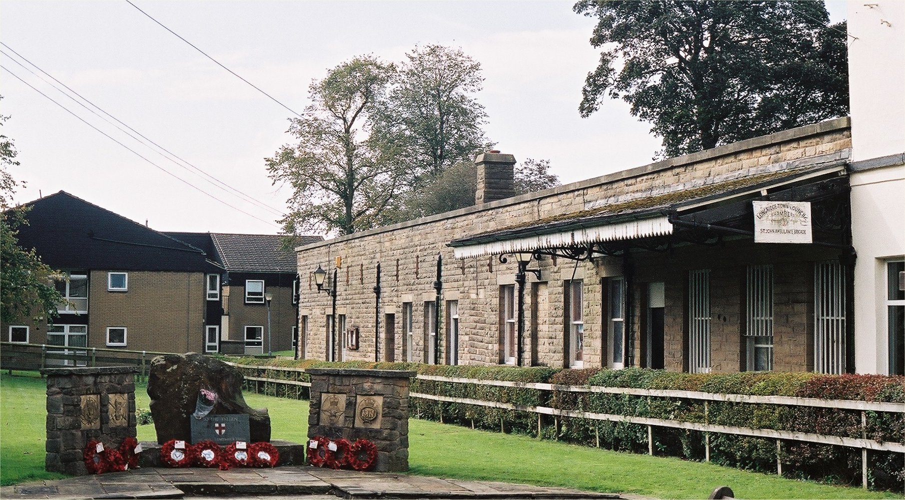
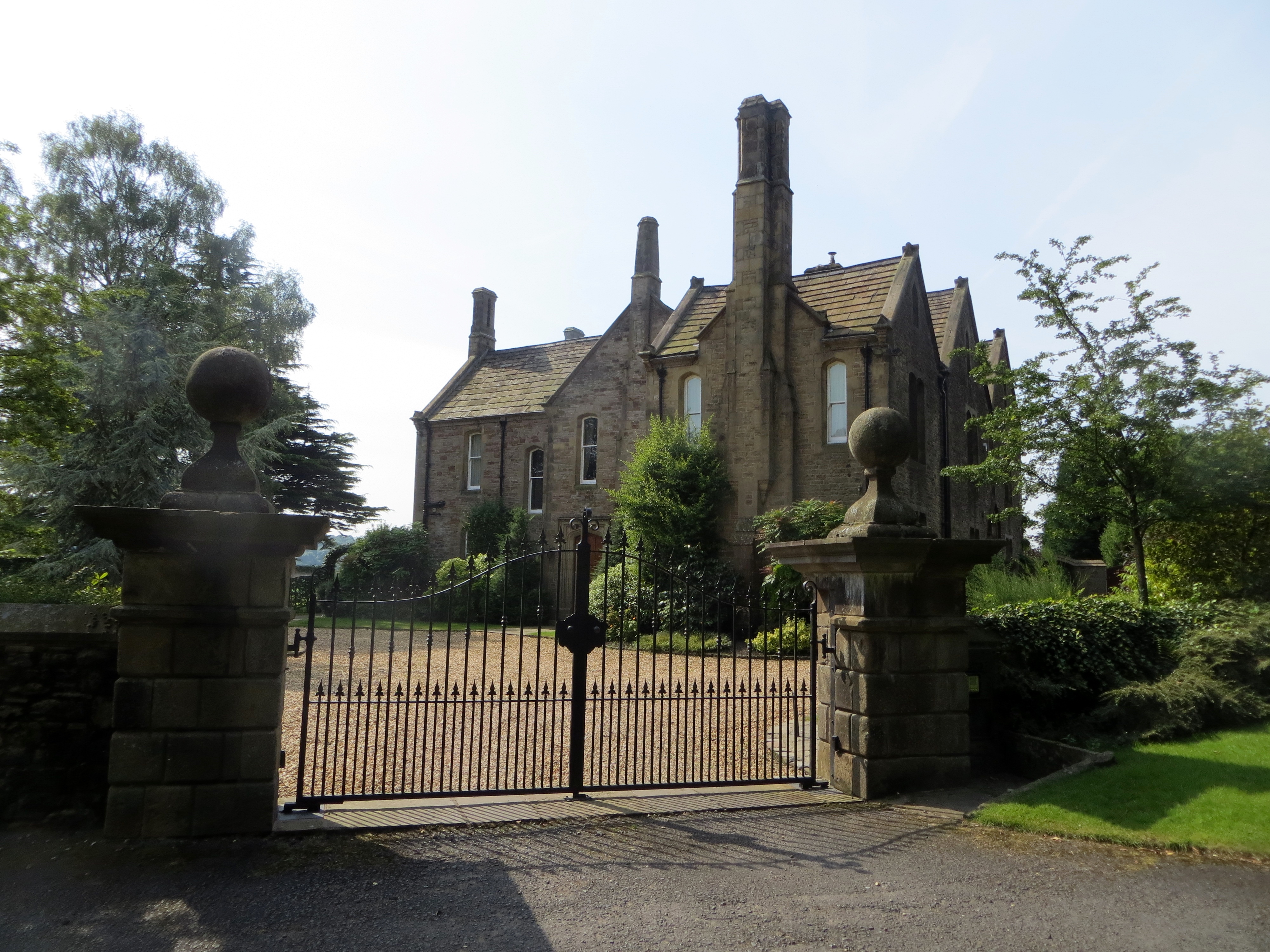
Longridge
Longridge is a market town and civil parish in the borough of Ribble Valley in Lancashire, England. It is situated 8 miles (13 km) north-east of the city...
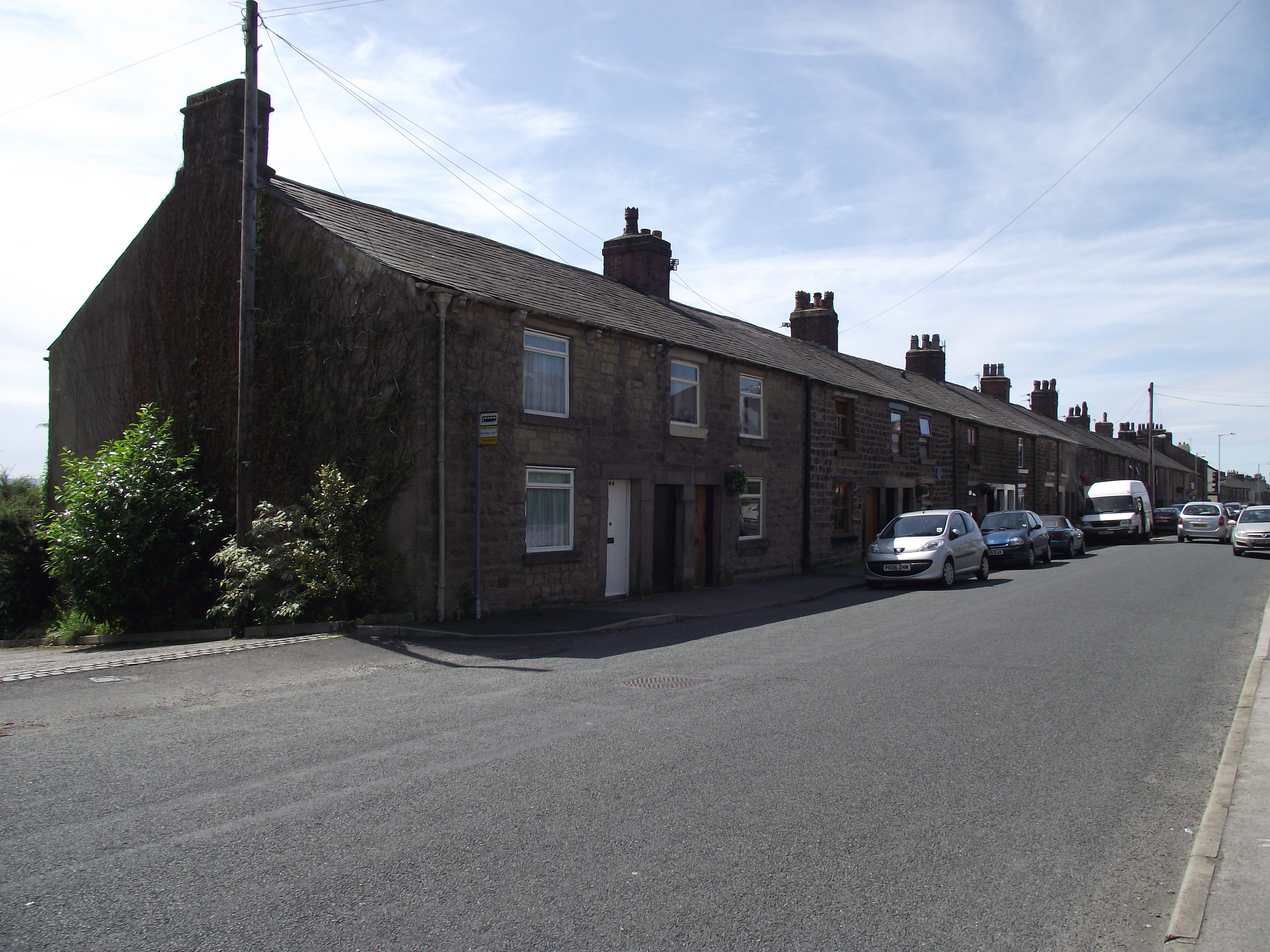
Club Row, Longridge
Club Row is a row of sandstone terraced houses on Higher Road in the English market town of Longridge, Lancashire, built between 1793 and 1804. Grade II...

Longridge Town F.C.
Longridge Town Football Club is a football club based in Longridge, Lancashire, England. Nicknamed the Ridge, they are currently members of the North West...
Hothersall
Hothersall is a civil parish in the Ribble Valley district, in Lancashire, England. The parish, which is on the north bank of the River Ribble, is rural...
Nearby Amenities
Located within 500m of 53.824144,-2.604594Have you been to Town, New?
Leave your review of Town, New below (or comments, questions and feedback).