New Town
Settlement in Lancashire Ribble Valley
England
New Town
New Town is a small town located in the county of Lancashire, in the northwest of England. Situated approximately 10 miles north of the bustling city of Preston, New Town has a population of around 15,000 people.
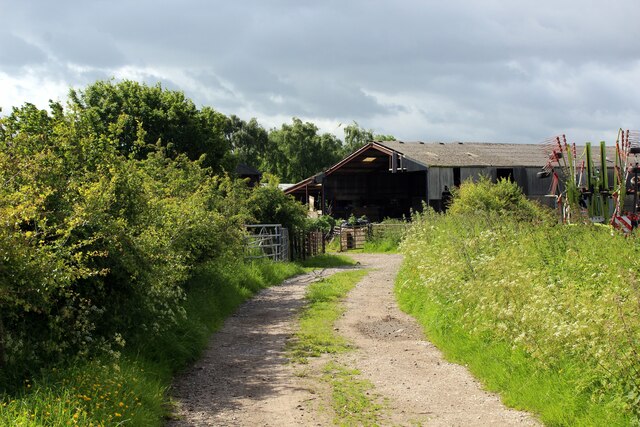
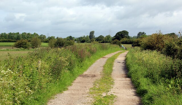
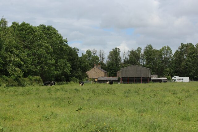
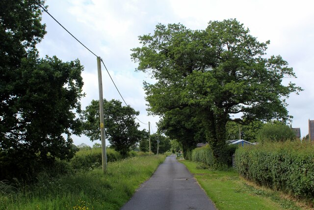
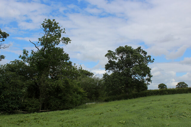
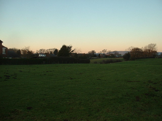
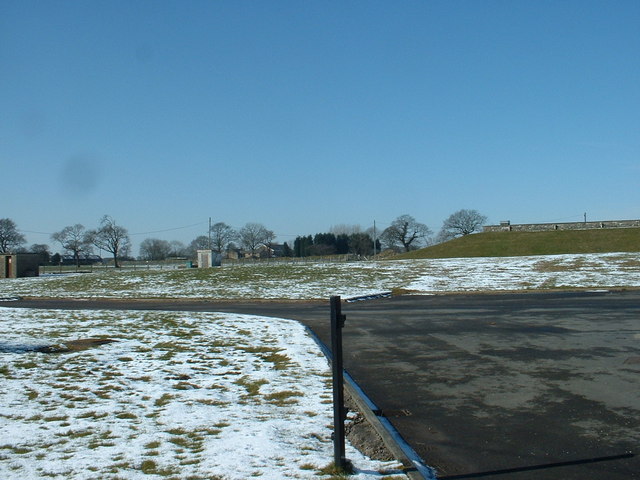
The town is known for its picturesque countryside surroundings, with rolling green hills and charming rural landscapes. It is bordered by the River Ribble, which flows through the region, providing stunning views and recreational opportunities for locals and visitors alike.
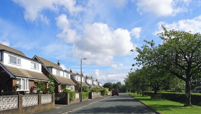
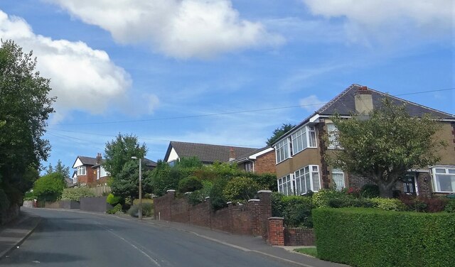
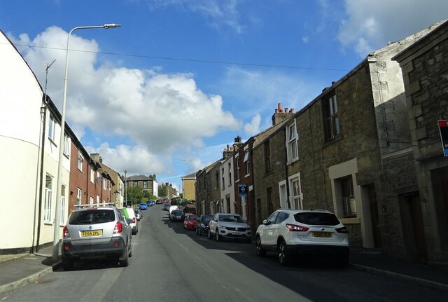
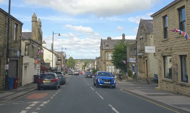
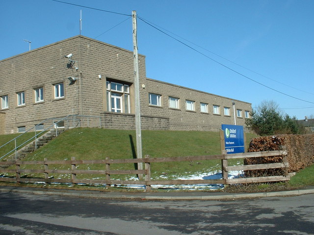
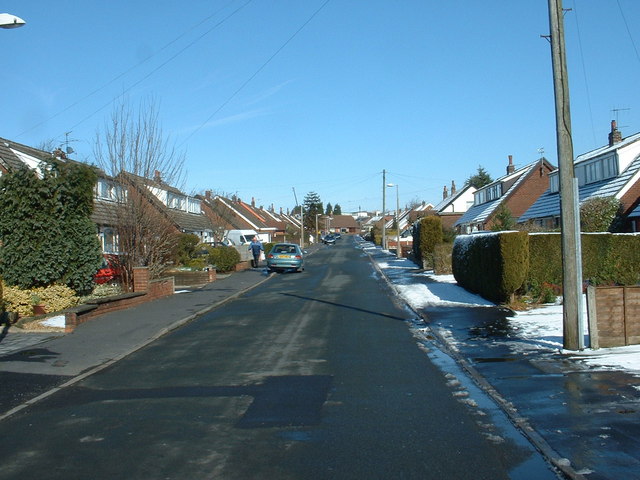
New Town's history dates back several centuries, with evidence of Roman settlements in the area. Over the years, it has developed into a thriving community with a strong sense of local pride. The town center features a mix of traditional and modern architecture, with a range of shops, restaurants, and amenities to cater to the needs of its residents.
Education is highly valued in New Town, and the town is home to several schools and colleges, providing quality education to its young population. The town also boasts excellent transportation links, with easy access to major roads and motorways, making it a convenient base for commuting to nearby towns and cities.
The surrounding countryside offers a range of outdoor activities, including hiking, cycling, and fishing, attracting nature enthusiasts and adventure seekers. Additionally, the nearby Forest Park provides a tranquil escape for residents, with woodland walks and picnic areas.
Overall, New Town is a charming and vibrant community that offers a peaceful and idyllic lifestyle, while still providing convenient access to urban amenities and opportunities.
If you have any feedback on the listing, please let us know in the comments section below.
New Town Images
Images are sourced within 2km of 53.824144/-2.604594 or Grid Reference SD6036. Thanks to Geograph Open Source API. All images are credited.

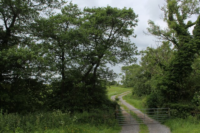
![Cumeragh Lane [B5269] near Longridge](https://s1.geograph.org.uk/photos/11/32/113253_c3acff1d.jpg)

New Town is located at Grid Ref: SD6036 (Lat: 53.824144, Lng: -2.604594)
Administrative County: Lancashire
District: Ribble Valley
Police Authority: Lancashire
What 3 Words
///finely.gravel.crossings. Near Longridge, Lancashire
Nearby Locations
Related Wikis

St Cecilia's Roman Catholic High School
St Cecilia's Roman Catholic High School is a coeducational secondary school in Longridge in the English county of Lancashire. The school is named after...
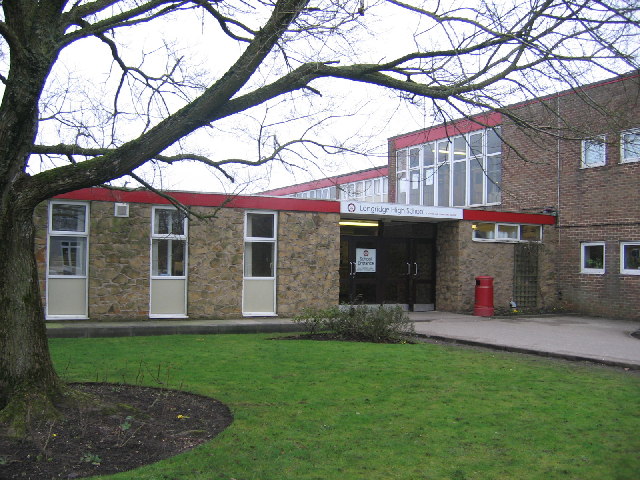
Longridge High School
Longridge High School is a coeducational secondary school located in Longridge in the English county of Lancashire.Previously a community school administered...
Longridge railway station (England)
Longridge railway station was a passenger terminus of the Preston and Longridge Railway. It served the town of Longridge in Lancashire, England. The line...

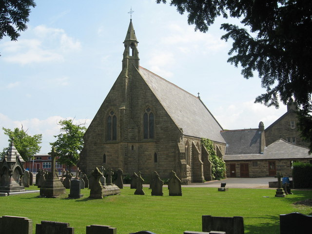
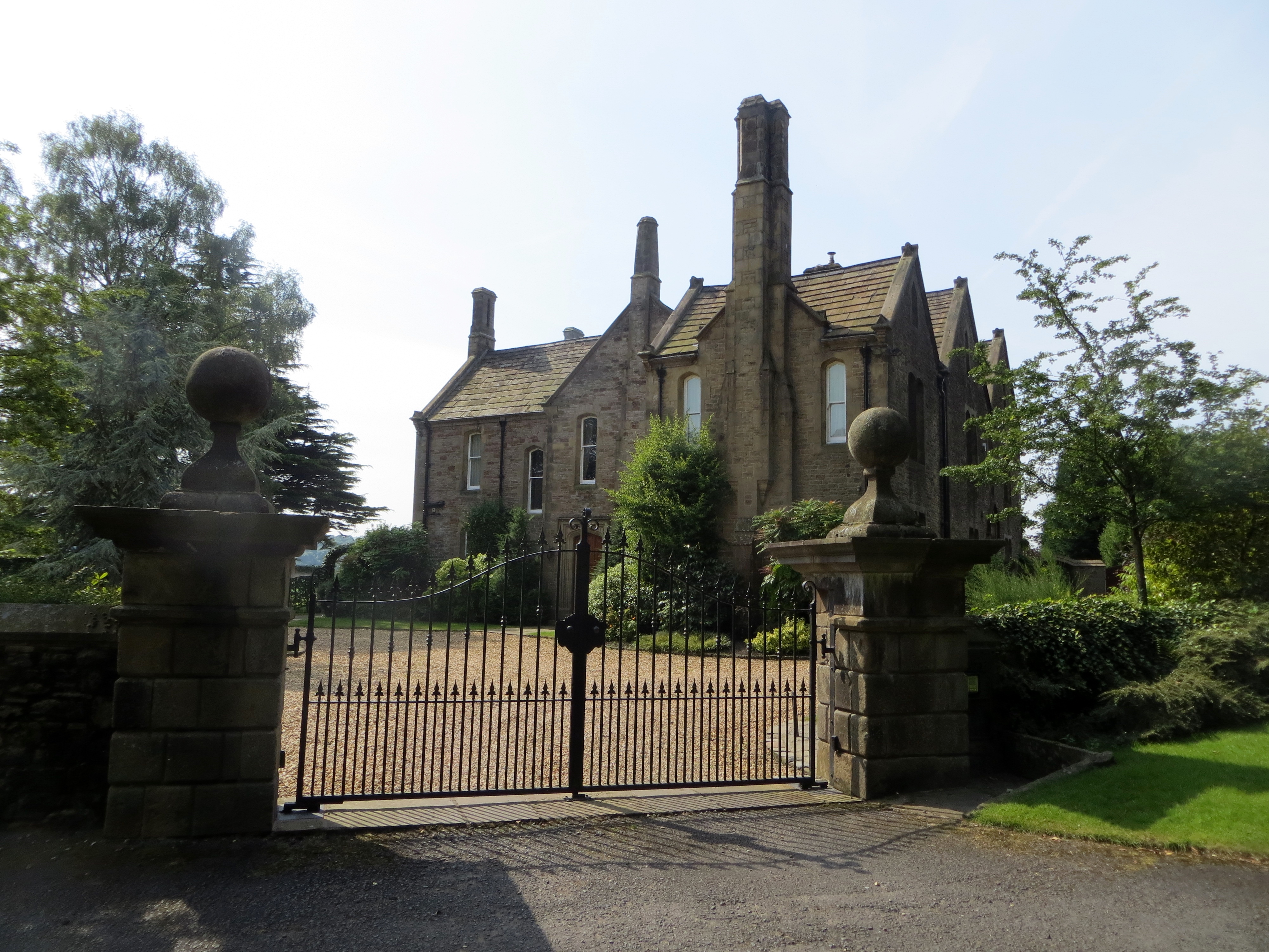
St Paul's Church, Longridge
St Paul's Church stands off Berry Lane, Longridge, Lancashire, England. It is an active Anglican parish church in the diocese of Blackburn. The church...
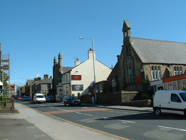
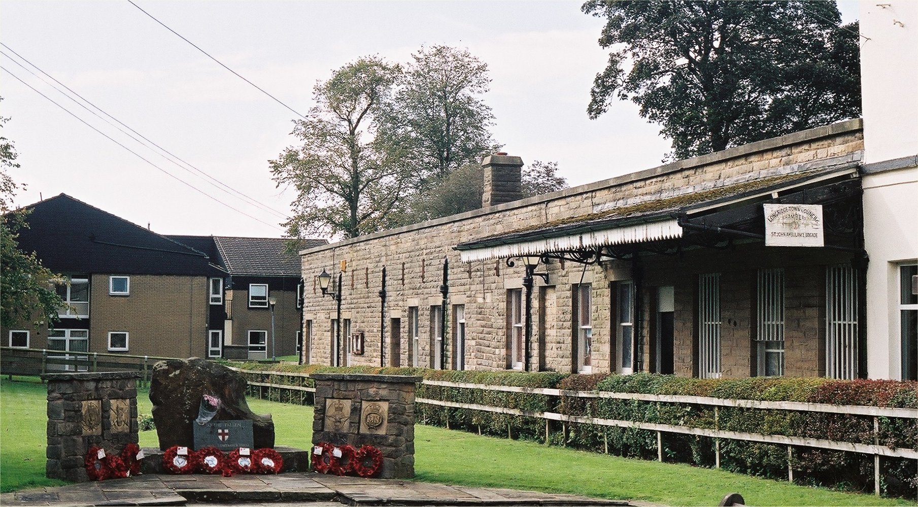
Longridge
Longridge is a market town and civil parish in the borough of Ribble Valley in Lancashire, England. It is situated 8 miles (13 km) north-east of the city...
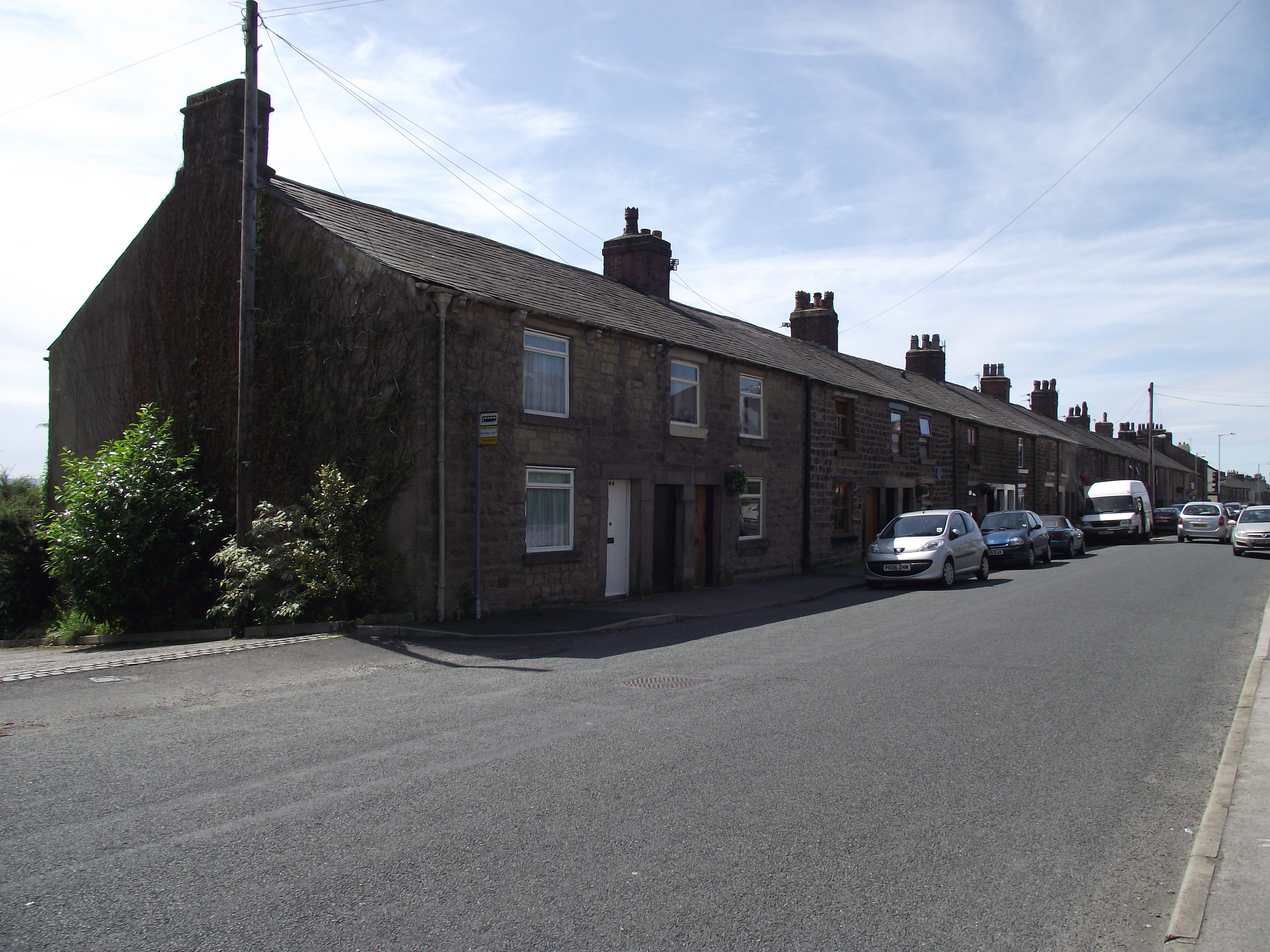
Club Row, Longridge
Club Row is a row of sandstone terraced houses on Higher Road in the English market town of Longridge, Lancashire, built between 1793 and 1804. Grade II...

Longridge Town F.C.
Longridge Town Football Club is a football club based in Longridge, Lancashire, England. Nicknamed the Ridge, they are currently members of the North West...
Hothersall
Hothersall is a civil parish in the Ribble Valley district, in Lancashire, England. The parish, which is on the north bank of the River Ribble, is rural...
Nearby Amenities
Located within 500m of 53.824144,-2.604594Have you been to New Town?
Leave your review of New Town below (or comments, questions and feedback).