Little Kettle
Lake, Pool, Pond, Freshwater Marsh in Westmorland South Lakeland
England
Little Kettle

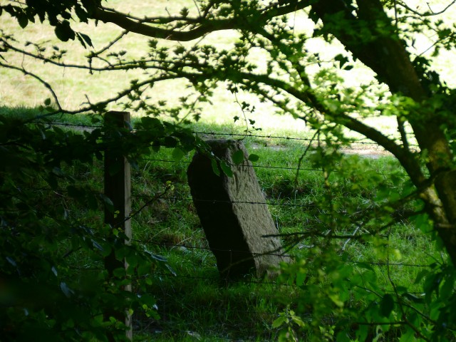
Little Kettle is a small freshwater marsh located in Westmorland, a county in the northwestern region of England. Situated near the town of Kendal, it is nestled amidst the picturesque landscape of the Lake District National Park. The site is known for its diverse range of aquatic habitats, including a lake, pool, pond, and a freshwater marsh.
The lake in Little Kettle is a shimmering body of water, covering an area of approximately 10 acres. It is surrounded by lush greenery and offers stunning panoramic views of the surrounding hills and valleys. The lake is home to a variety of fish species, such as trout and perch, making it a popular spot for fishing enthusiasts.
Adjacent to the lake is a smaller pool, which is often used by local residents for recreational activities such as swimming and boating. The pool is relatively shallow, making it suitable for families and children.
A serene pond can also be found within the vicinity of Little Kettle. This tranquil water feature is teeming with aquatic plants and serves as a habitat for various amphibians and insects. Visitors can often spot frogs, dragonflies, and water lilies in this area.
Lastly, the freshwater marsh in Little Kettle is a haven for birdwatchers and nature enthusiasts. The marsh is characterized by its wetland vegetation, including reeds, sedges, and rushes. It attracts a wide array of bird species, such as herons, ducks, and warblers, who find refuge in the marsh's rich biodiversity.
Overall, Little Kettle in Westmorland offers a diverse range of aquatic habitats, making it an idyllic location for nature lovers and those seeking a peaceful retreat amidst the beauty of the Lake District.
If you have any feedback on the listing, please let us know in the comments section below.
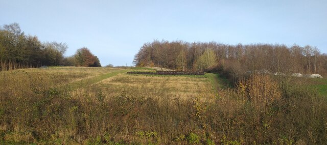
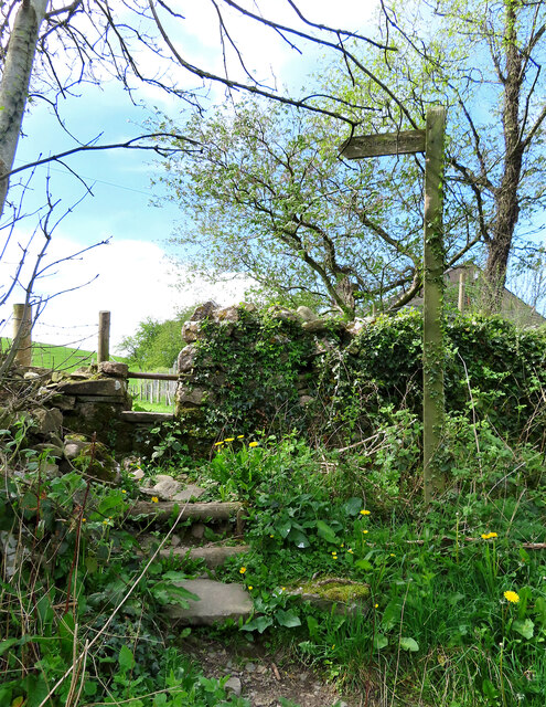
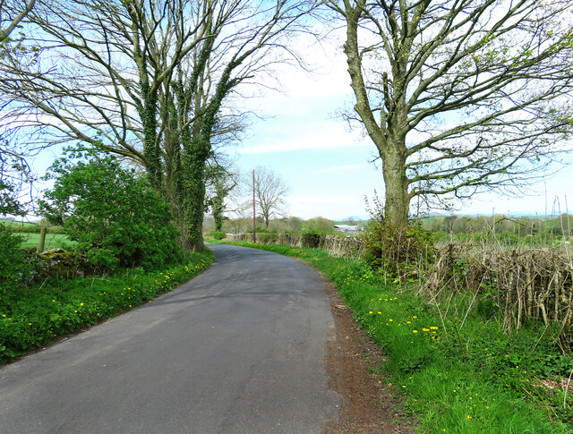
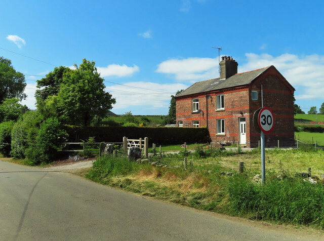
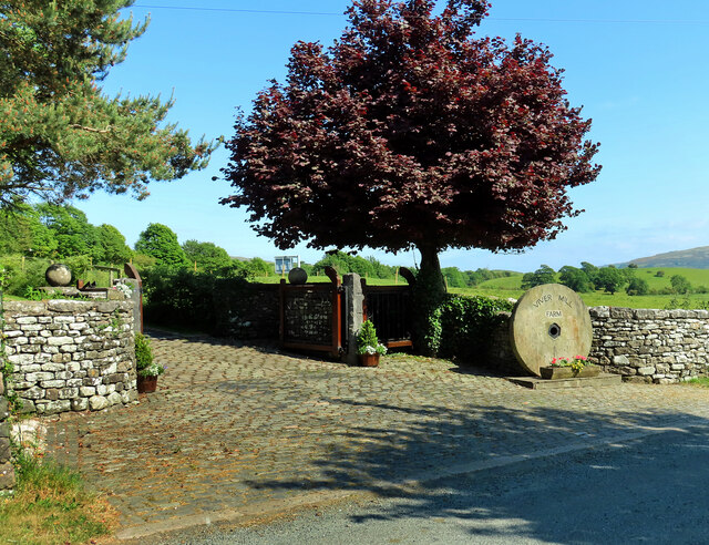
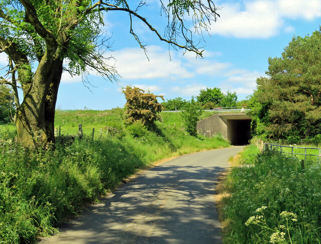
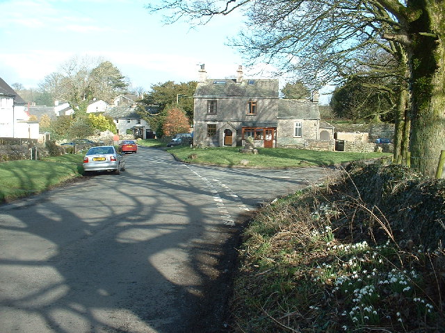
Little Kettle Images
Images are sourced within 2km of 54.266367/-2.7644936 or Grid Reference SD5085. Thanks to Geograph Open Source API. All images are credited.


Little Kettle is located at Grid Ref: SD5085 (Lat: 54.266367, Lng: -2.7644936)
Administrative County: Cumbria
District: South Lakeland
Police Authority: Cumbria
What 3 Words
///condiment.kebabs.crinkled. Near Milnthorpe, Cumbria
Nearby Locations
Related Wikis

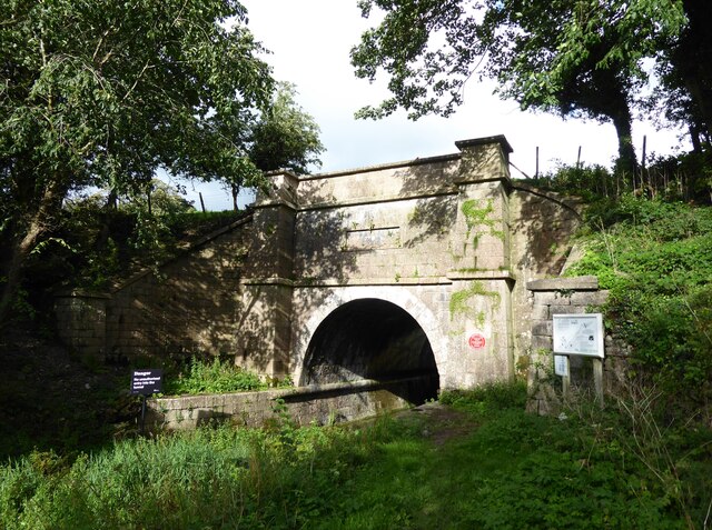
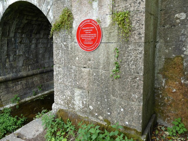
Hincaster Tunnel
The Hincaster Tunnel is a canal tunnel on the Lancaster Canal at Hincaster, a hamlet in Cumbria, England. == History == Work to extend the Lancaster Canal...

Levens Hall
Levens Hall is a manor house in the Kent valley, near the village of Levens and 5 miles (9 km) south of Kendal in Cumbria, Northern England. == History... ==
Hincaster
Hincaster is a small hamlet and civil parish in the South Lakeland district of Cumbria, England, located between Kendal and Milnthorpe. In the 2001 census...

Sedgwick House, Cumbria
Sedgwick House is located to the west of the village of Sedgwick, Cumbria, England. It was built as a country house, was later used as a school, and then...
Nearby Amenities
Located within 500m of 54.266367,-2.7644936Have you been to Little Kettle?
Leave your review of Little Kettle below (or comments, questions and feedback).