Barhaugh Pot
Lake, Pool, Pond, Freshwater Marsh in Aberdeenshire
Scotland
Barhaugh Pot
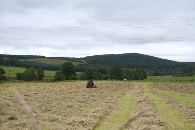
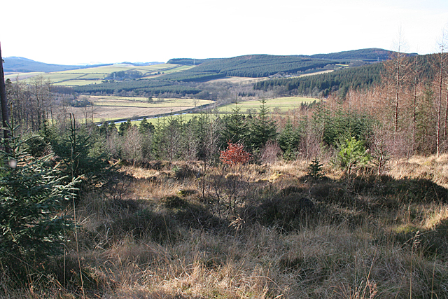
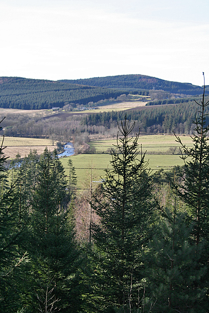
Barhaugh Pot is a picturesque freshwater marsh located in Aberdeenshire, Scotland. Nestled within a tranquil and verdant landscape, it is a popular destination for nature enthusiasts and birdwatchers alike.
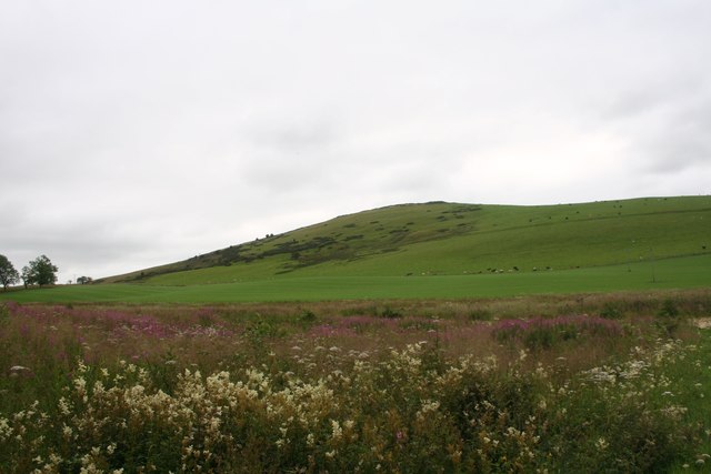
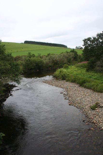
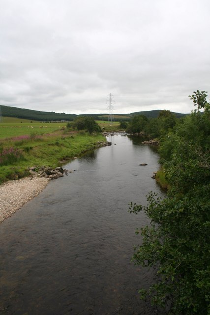
Covering an area of approximately 2 hectares, Barhaugh Pot is characterized by its calm and reflective waters. It is surrounded by lush vegetation, including reeds, sedges, and willow trees, which provide a peaceful and secluded atmosphere. The marsh is also home to an array of wildlife, including various species of birds, insects, and amphibians.
The tranquil waters of Barhaugh Pot serve as a natural habitat for many bird species. Visitors may spot common species such as ducks, swans, and geese, as well as rarer sightings such as herons and kingfishers. The marsh's diverse vegetation attracts a plethora of insects, which, in turn, serve as a food source for these birds.
In addition to its natural beauty, Barhaugh Pot also offers opportunities for recreational activities. Anglers can enjoy fishing in its waters, which are abundant with fish species such as pike and perch. The calm and serene environment also makes it an ideal spot for picnicking or simply enjoying a leisurely stroll along the water's edge.
Overall, Barhaugh Pot is a tranquil and biodiverse freshwater marsh that offers a peaceful retreat for those seeking to connect with nature. Its picturesque landscape, diverse wildlife, and recreational opportunities make it a must-visit destination for both locals and tourists alike.
If you have any feedback on the listing, please let us know in the comments section below.
Barhaugh Pot Images
Images are sourced within 2km of 57.458442/-2.8299705 or Grid Reference NJ5041. Thanks to Geograph Open Source API. All images are credited.


Barhaugh Pot is located at Grid Ref: NJ5041 (Lat: 57.458442, Lng: -2.8299705)
Unitary Authority: Aberdeenshire
Police Authority: North East
What 3 Words
///often.nicely.hopping. Near Huntly, Aberdeenshire
Nearby Locations
Related Wikis

Dunbennan
Dunbennan is a settlement near Huntly, Aberdeenshire, Scotland. The name comes from the Gaelic dun-beinnean, or the fort of the little hill, and originally...
Clean Pool
Clean Pool was an important boundary marker between the parishes of Huntly and Cairnie, Aberdeenshire, Scotland. It has now been dried up to plant conifer...

Stewart's Hall
Stewart's Hall, formerly Huntly Town Hall, is a municipal structure in Gordon Street, Huntly, Aberdeenshire, Scotland. The structure, which is used as...

Huntly
Huntly (Scottish Gaelic: Srath Bhalgaidh or Hunndaidh) is a town in Aberdeenshire, Scotland, formerly known as Milton of Strathbogie or simply Strathbogie...
Deveron Projects
Deveron Projects, formerly Deveron Arts, is a United Kingdom arts organisation based in Huntly, Aberdeenshire, Scotland that hosts international artists...
The Gordon Schools
The Gordon Schools is a six-year, non denominational comprehensive co-educational secondary school located in Huntly, Aberdeenshire, Scotland. It takes...

Jubilee Hospital, Huntly
The Jubilee Hospital is a community hospital in Huntly, Aberdeenshire, Scotland. It is managed by NHS Grampian. == History == The hospital, which was financed...
Cairnie
Cairnie, also written Cairney, (Scottish Gaelic: Càrnaidh/A' Chàrnaich) is a village in Aberdeenshire, Scotland. It is in the district of Huntly. It has...
Nearby Amenities
Located within 500m of 57.458442,-2.8299705Have you been to Barhaugh Pot?
Leave your review of Barhaugh Pot below (or comments, questions and feedback).