Boddum Hill
Hill, Mountain in Aberdeenshire
Scotland
Boddum Hill

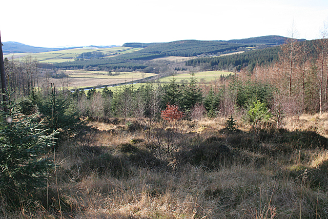
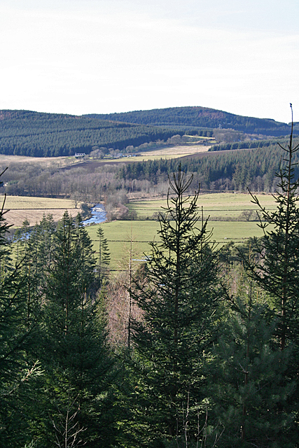
Boddum Hill, located in Aberdeenshire, is a prominent hill that stands at an elevation of approximately 232 meters (761 feet) above sea level. Situated in the northeastern region of Scotland, the hill offers breathtaking panoramic views of the surrounding countryside, making it a popular destination for hikers and nature enthusiasts.
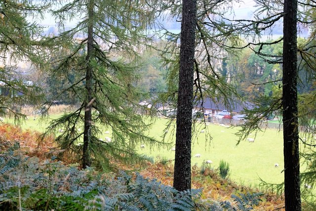
The hill is characterized by its gently sloping terrain, covered in lush green vegetation and scattered with rocky outcrops. Its location on the southern fringes of the Cairngorms National Park adds to its appeal, as it provides easy access to a diverse range of flora and fauna.
Boddum Hill is known for its rich history, with evidence of human settlement in the area dating back thousands of years. Archaeological findings suggest that the hill was once occupied during the Iron Age, with remnants of ancient settlements and burial grounds being discovered nearby.
Today, Boddum Hill attracts visitors from near and far, offering a variety of outdoor activities. Hiking trails crisscross the hill, allowing visitors to explore its natural beauty at their own pace. The summit provides a vantage point to admire the stunning landscapes of Aberdeenshire, including rolling hills, expansive farmlands, and the sparkling North Sea in the distance.
In conclusion, Boddum Hill in Aberdeenshire is a picturesque and historically significant location, offering visitors a chance to immerse themselves in the natural wonders of the Scottish countryside.
If you have any feedback on the listing, please let us know in the comments section below.
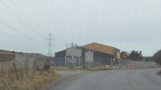
Boddum Hill Images
Images are sourced within 2km of 57.463392/-2.8190142 or Grid Reference NJ5041. Thanks to Geograph Open Source API. All images are credited.


Boddum Hill is located at Grid Ref: NJ5041 (Lat: 57.463392, Lng: -2.8190142)
Unitary Authority: Aberdeenshire
Police Authority: North East
What 3 Words
///cowering.copiers.slimmer. Near Huntly, Aberdeenshire
Nearby Locations
Related Wikis

Clean Pool
Clean Pool was an important boundary marker between the parishes of Huntly and Cairnie, Aberdeenshire, Scotland. It has now been dried up to plant conifer...
Dunbennan
Dunbennan is a settlement near Huntly, Aberdeenshire, Scotland. The name comes from the Gaelic dun-beinnean, or the fort of the little hill, and originally...
The Gordon Schools
The Gordon Schools is a six-year, non denominational comprehensive co-educational secondary school located in Huntly, Aberdeenshire, Scotland. It takes...

Stewart's Hall
Stewart's Hall, formerly Huntly Town Hall, is a municipal structure in Gordon Street, Huntly, Aberdeenshire, Scotland. The structure, which is used as...
Deveron Projects
Deveron Projects, formerly Deveron Arts, is a United Kingdom arts organisation based in Huntly, Aberdeenshire, Scotland that hosts international artists...

Huntly
Huntly (Scottish Gaelic: Srath Bhalgaidh or Hunndaidh) is a town in Aberdeenshire, Scotland, formerly known as Milton of Strathbogie or simply Strathbogie...

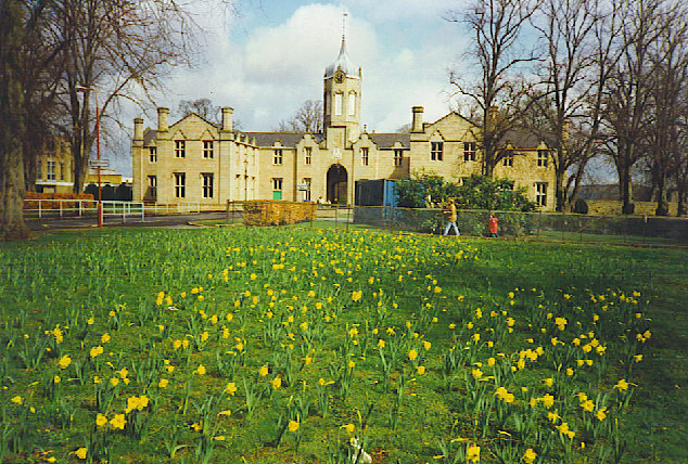
Jubilee Hospital, Huntly
The Jubilee Hospital is a community hospital in Huntly, Aberdeenshire, Scotland. It is managed by NHS Grampian. == History == The hospital, which was financed...
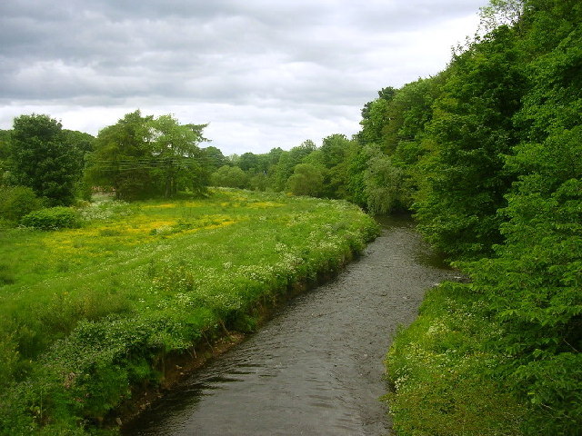
River Bogie
The River Bogie (Scottish Gaelic: Balgaidh), also known as the Water of Bogie, is a river in north-west Aberdeenshire in the north east of Scotland. It...
Nearby Amenities
Located within 500m of 57.463392,-2.8190142Have you been to Boddum Hill?
Leave your review of Boddum Hill below (or comments, questions and feedback).