Big Kettle

Lake, Pool, Pond, Freshwater Marsh in Westmorland South Lakeland

England

Big Kettle

Well Heads
Well Heads Credit: N Chadwick

Big Kettle is a small yet picturesque body of water located in Westmorland, a county in the northwest region of England. Nestled amidst the rolling hills and lush greenery, it offers a serene and tranquil escape for nature enthusiasts and visitors seeking a peaceful retreat.

Measuring approximately 0.2 hectares in area, Big Kettle is classified as a freshwater pond. It is characterized by its still and calm waters, which reflect the surrounding landscape, creating a beautiful mirror-like effect. The pond is relatively deep, with a maximum depth of around 5 meters.

Surrounded by a diverse range of vegetation, including reeds, grasses, and water lilies, Big Kettle provides a suitable habitat for various plant and animal species. It is particularly known for its vibrant aquatic plant life, which thrives in the nutrient-rich waters. The pond also supports a diverse array of freshwater fish, such as roach, bream, and perch, making it a popular spot for fishing enthusiasts.

Big Kettle also serves as a valuable ecosystem for a variety of wildlife, attracting numerous bird species. Birdwatchers can often spot herons, ducks, and swans gracefully gliding across the water's surface or nesting in the surrounding trees and shrubs.

The peaceful ambiance and scenic beauty of Big Kettle make it a favored spot for picnics, leisurely walks, and photography. Whether visitors desire to reconnect with nature, observe wildlife, or simply unwind in a serene environment, Big Kettle offers an idyllic setting that captivates all who visit.

If you have any feedback on the listing, please let us know in the comments section below.

Big Kettle Images

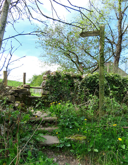
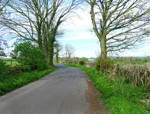
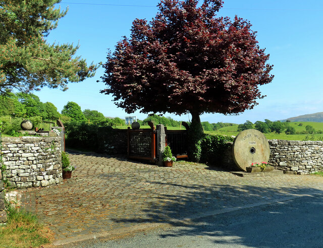
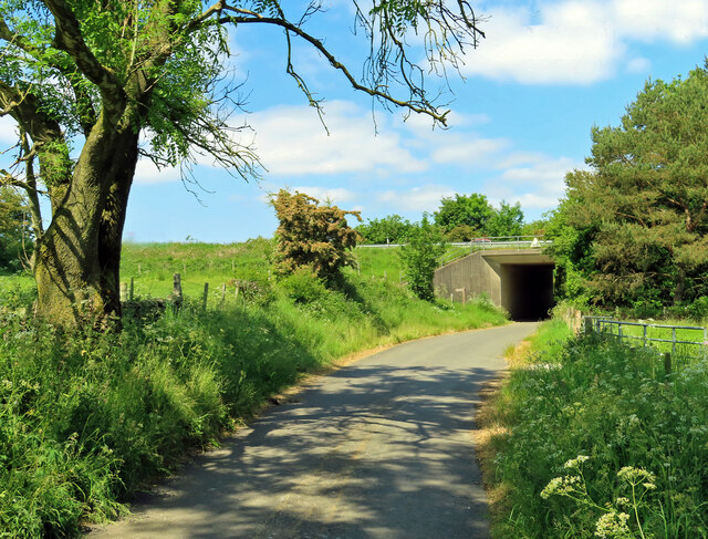
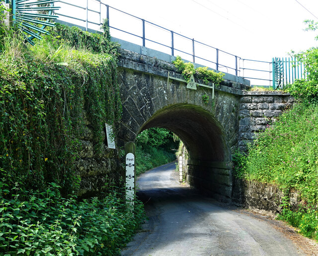
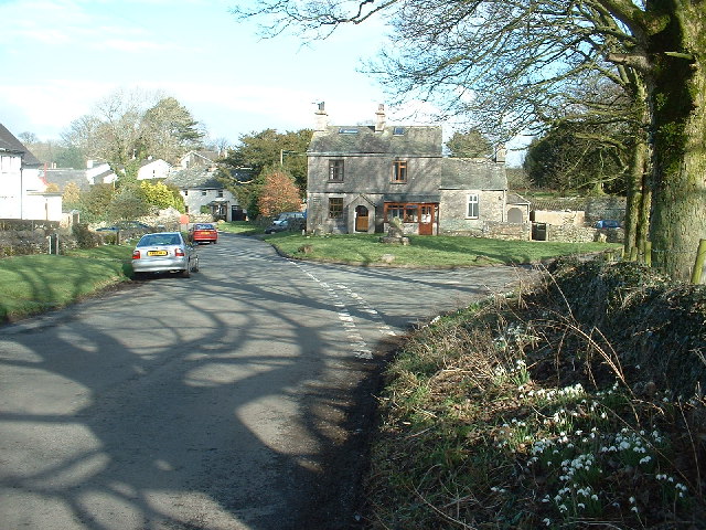
Images are sourced within 2km of 54.265929/-2.7655449 or Grid Reference SD5085. Thanks to Geograph Open Source API. All images are credited.

Well Heads
Well Heads
Well Heads farmhouse
Cottage, Well Heads Lane
The Strickland Arms At the entrance to Sizergh Castle, the Strickland Arms is named for the family who have owned the Castle for centuries.
The Strickland Arms
At the entrance to Sizergh Castle, the Strickland Arms is named for the family who have owned the Castle for centuries.
The west end of Hincaster Tunnel Opened on the 18th June 1819, the 378 yard tunnel was built to facilitate access to Kendal by the Lancaster Canal.
The tunnel had fallen into disuse by the mid 1940s and it was officially closed in 1955.
There is an Ordnance Survey 1GL bolt benchmark on the pilaster to the right of the tunnel entrance (detail photograph <a href="https://www.geograph.org.uk/photo/7364790">SD5085 : Benchmark, Hincaster Tunnel</a>).
The west end of Hincaster Tunnel
Opened on the 18th June 1819, the 378 yard tunnel was built to facilitate access to Kendal by the Lancaster Canal. The tunnel had fallen into disuse by the mid 1940s and it was officially closed in 1955. There is an Ordnance Survey 1GL bolt benchmark on the pilaster to the right of the tunnel entrance (detail photograph SD5085 : Benchmark, Hincaster Tunnel).
Sedgwick Hall Bridge Detail of the north face of Sedgwick Hall Bridge on the disused Lancaster Canal. The wicket gate caters for walkers using the former towpath which is a public footpath.
There is an Ordnance Survey benchmark visible on one of the voussoirs of the arch (photograph <a href="https://www.geograph.org.uk/photo/7097464">SD5186 : Benchmark, Sedgwick Hall Bridge</a>).
<a href="https://www.geograph.org.uk/photo/6578468">SD5186 : Sedgwick Hall Bridge</a> is a photograph of the bridge from the south.
Sedgwick Hall Bridge
Detail of the north face of Sedgwick Hall Bridge on the disused Lancaster Canal. The wicket gate caters for walkers using the former towpath which is a public footpath. There is an Ordnance Survey benchmark visible on one of the voussoirs of the arch (photograph SD5186 : Benchmark, Sedgwick Hall Bridge). SD5186 : Sedgwick Hall Bridge is a photograph of the bridge from the south.
Benchmark, Sedgwick Hall Bridge Detail of the Ordnance Survey 1GL Bolt benchmark on the north face of the arch of Sedgwick Hall Bridge. The benchmark marks a height of 46.0004 m above sea level (Ordnance Datum Newlyn) last verified in 1952 (location photograph <a href="https://www.geograph.org.uk/photo/7097453">SD5186 : Sedgwick Hall Bridge</a>).
Benchmark, Sedgwick Hall Bridge
Detail of the Ordnance Survey 1GL Bolt benchmark on the north face of the arch of Sedgwick Hall Bridge. The benchmark marks a height of 46.0004 m above sea level (Ordnance Datum Newlyn) last verified in 1952 (location photograph SD5186 : Sedgwick Hall Bridge).
Footpath near Hincaster The roadside start of this path, one of many in the area.
Footpath near Hincaster
The roadside start of this path, one of many in the area.
This way to Hincaster A quiet country road leading to Hincaster village. Roadside dandelions add a splash of spring colour to the scene.
This way to Hincaster
A quiet country road leading to Hincaster village. Roadside dandelions add a splash of spring colour to the scene.
Old Milestone Marker 04-53 F (between bridges 178-177), Lancaster Canal Old Milestone located by the side of the dry section of the Lancaster Canal.
This milestone is 53 miles from the centre of Preston and 4 miles from Kendal.

Inscription reads:-
23 :: 4
(Miles from Lancaster and Kendal respectively)

Milestone Society National ID: LAN-53
Old Milestone Marker 04-53 F (between bridges 178-177), Lancaster Canal
Old Milestone located by the side of the dry section of the Lancaster Canal. This milestone is 53 miles from the centre of Preston and 4 miles from Kendal. Inscription reads:- 23 :: 4 (Miles from Lancaster and Kendal respectively) Milestone Society National ID: LAN-53
Old Milestone Marker 05-52 F (between bridges 176-175), Lancaster Canal Old Milestone located by the side of the dry section of the Lancaster Canal. This milestone is 52 miles from the centre of Preston and 5 miles from Kendal. 

Inscription reads:- 
22 :: 5 
(Miles from Lancaster and Kendal respectively)

Milestone Society National ID: LAN-52
Old Milestone Marker 05-52 F (between bridges 176-175), Lancaster Canal
Old Milestone located by the side of the dry section of the Lancaster Canal. This milestone is 52 miles from the centre of Preston and 5 miles from Kendal. Inscription reads:- 22 :: 5 (Miles from Lancaster and Kendal respectively) Milestone Society National ID: LAN-52
Old Milestone Marker 06-51 R (between bridges 172-171), Lancaster Canal Old Milestone located by the side of the Lancaster Canal. 
This milestone is 51 miles from the centre of Preston and 6 miles from Kendal. 

Inscription reads:- 
21 :: 6 
(Miles from Lancaster and Kendal respectively)

Milestone Society National ID: LAN-51
Old Milestone Marker 06-51 R (between bridges 172-171), Lancaster Canal
Old Milestone located by the side of the Lancaster Canal. This milestone is 51 miles from the centre of Preston and 6 miles from Kendal. Inscription reads:- 21 :: 6 (Miles from Lancaster and Kendal respectively) Milestone Society National ID: LAN-51
Benchmark, Hincaster Tunnel Detail of the Ordnance Survey 1GL Published Abstract Bolt benchmark on the west portal of Hincaster Tunnel. The benchmark marks a height of 45.9205m above mean sea level (Ordnance Datum Newlyn) last levelled and verified in 1971 (location photograph <a href="https://www.geograph.org.uk/photo/7364809">SD5085 : Transport Trust Red Wheel</a>).
Benchmark, Hincaster Tunnel
Detail of the Ordnance Survey 1GL Published Abstract Bolt benchmark on the west portal of Hincaster Tunnel. The benchmark marks a height of 45.9205m above mean sea level (Ordnance Datum Newlyn) last levelled and verified in 1971 (location photograph SD5085 : Transport Trust Red Wheel).
Transport Trust Red Wheel On the west portal of Hincaster Tunnel, the Transport Trust ‘Red Wheel’ sign highlights the importance of the tunnel as a transport heritage site.
The Transport Trust is Britain’s only charity dedicated to the preservation of all modes of transport and its infrastructure and the Red Wheel heritage plaque is the transport equivalent of an English Heritage Blue Plaque.
There is an Ordnance Survey bolt benchmark on the wall directly below the plaque (detail photograph <a href="https://www.geograph.org.uk/photo/7364790">SD5085 : Benchmark, Hincaster Tunnel</a>).
Transport Trust Red Wheel
On the west portal of Hincaster Tunnel, the Transport Trust ‘Red Wheel’ sign highlights the importance of the tunnel as a transport heritage site. The Transport Trust is Britain’s only charity dedicated to the preservation of all modes of transport and its infrastructure and the Red Wheel heritage plaque is the transport equivalent of an English Heritage Blue Plaque. There is an Ordnance Survey bolt benchmark on the wall directly below the plaque (detail photograph SD5085 : Benchmark, Hincaster Tunnel).
Railway buildings at Hincaster Typical red brick buildings associated with the railway.
Railway buildings at Hincaster
Typical red brick buildings associated with the railway.
Viver Mill Farm The farm entrance on Viver Lane displays a large millstone.
Viver Mill Farm
The farm entrance on Viver Lane displays a large millstone.
Approaching the A590 Viewed near Viver on a bright early-June afternoon.
Approaching the A590
Viewed near Viver on a bright early-June afternoon.
Beware of floods A warning sign alerts road users to a flood risk ahead. The depth markers beside the railway bridge on the West Coast main line show how serious this can be.
Beware of floods
A warning sign alerts road users to a flood risk ahead. The depth markers beside the railway bridge on the West Coast main line show how serious this can be.
Show me another place!

Big Kettle is located at Grid Ref: SD5085 (Lat: 54.265929, Lng: -2.7655449)

Administrative County: Cumbria

District: South Lakeland

Police Authority: Cumbria

What 3 Words

///sunshine.careful.affirming. Near Milnthorpe, Cumbria

Related Wikis

Related Videos

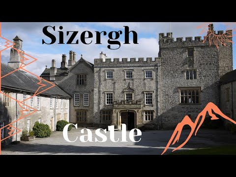
walking through sizergh castle

Step into a Bygone Era: Revealing the Enigmatic History of Sizergh Castle. Join us in this immersive exploration as we unlock the ...

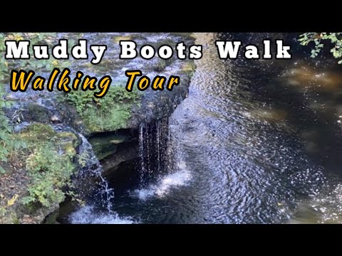
Muddy Boots After The Frost | Walking Tour | 4K

Today I ended up with very muddy boots on this POV walking tour, after the sun had melted the frost, apologies for the heavy ...

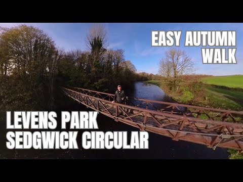
Levens Park / Sedgwick Circular Walk

A lovely walk to be done in Southern Cumbria, just four miles down the road from Kendal. Join me on a beautiful autumnal ...

Nearby Amenities

Located within 500m of 54.265929,-2.7655449
Whitewater: egress
Lat/Long: 54.2694169/-2.7611879
Barrier: stile
Lat/Long: 54.2700804/-2.7637905
Power: pole
Lat/Long: 54.2701874/-2.7653375
Power: pole
Lat/Long: 54.2645472/-2.7712806
Power: pole
Lat/Long: 54.2681032/-2.768722
Power: pole
Lat/Long: 54.2670643/-2.7694818
Power: pole
Lat/Long: 54.2662558/-2.7700865
Power: pole
Lat/Long: 54.265521/-2.7706138
Power: pole
Lat/Long: 54.2691277/-2.7679356
Power: pole
Lat/Long: 54.2701488/-2.7671778
The data included in this document is from www.openstreetmap.org. The data is made available under ODbL.

Have you been to Big Kettle?

Leave your review of Big Kettle below (or comments, questions and feedback).