Summerhouse Hill
Hill, Mountain in Westmorland South Lakeland
England
Summerhouse Hill

Summerhouse Hill is a prominent geographical feature located in the district of Westmorland, in the county of Cumbria, England. With an elevation of 396 meters (1,299 feet), it is classified as a hill rather than a mountain. Situated in the Lake District National Park, Summerhouse Hill offers breathtaking panoramic views of the surrounding countryside.
The hill is renowned for its tranquil and picturesque setting, attracting hikers, nature enthusiasts, and photographers alike. Its gently sloping terrain makes it accessible to walkers of all abilities, with well-maintained footpaths leading to the summit. The ascent is relatively moderate, taking approximately an hour to reach the top from the base.
At the summit, visitors are greeted with unparalleled views of the rolling hills, lush green valleys, and shimmering lakes that define the charm of the Lake District. On clear days, it is possible to see several of the region's iconic landmarks, such as Lake Windermere and the Langdale Pikes.
The surrounding area is abundant in wildlife, making Summerhouse Hill an ideal spot for birdwatching and animal spotting. Visitors may encounter various species of birds, including buzzards, ravens, and kestrels, as well as the occasional glimpse of deer or rabbits.
For those seeking a peaceful escape from the hustle and bustle of everyday life, Summerhouse Hill in Westmorland offers a serene retreat amidst the natural beauty of the Lake District. Whether it's a leisurely stroll or a challenging hike, this hill provides an opportunity to immerse oneself in the tranquility and splendor of the English countryside.
If you have any feedback on the listing, please let us know in the comments section below.
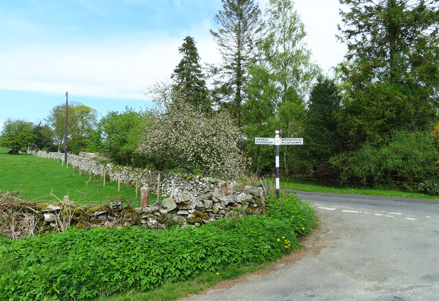
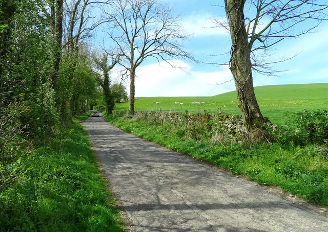
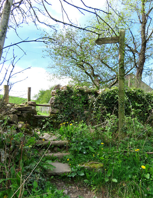
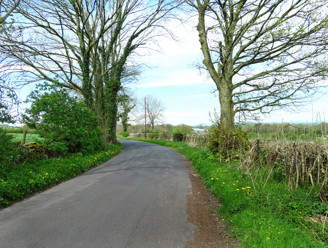
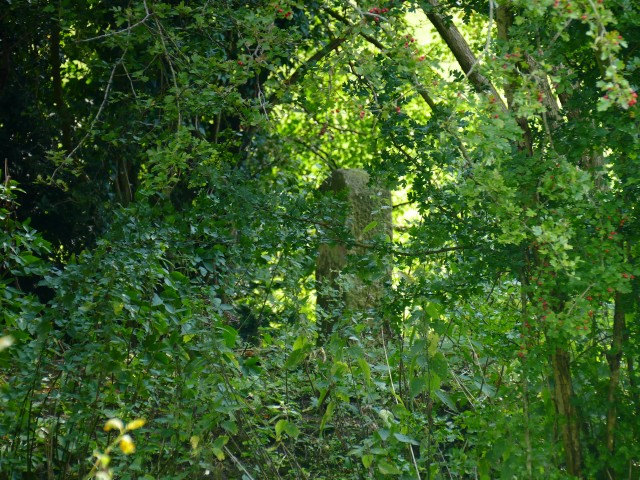
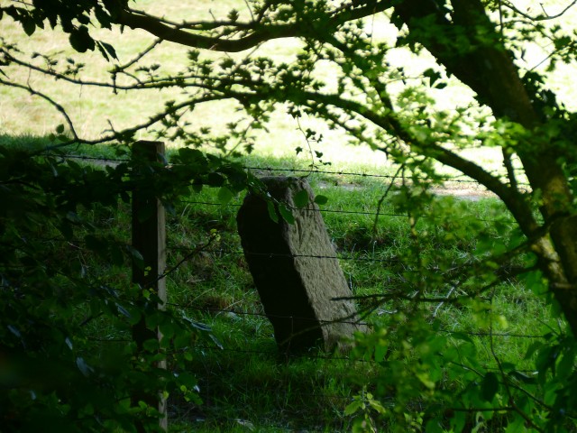
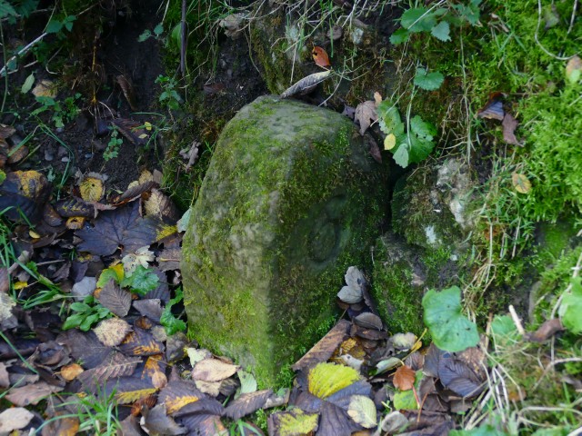
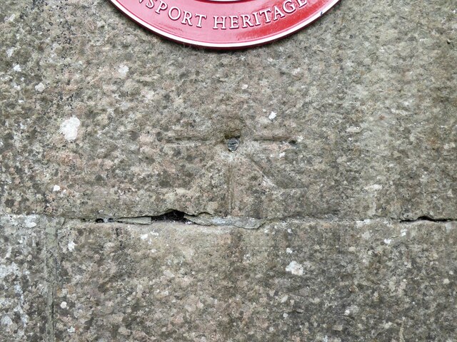
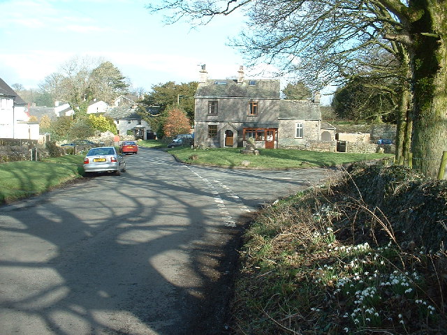
Summerhouse Hill Images
Images are sourced within 2km of 54.261044/-2.7620156 or Grid Reference SD5085. Thanks to Geograph Open Source API. All images are credited.


Summerhouse Hill is located at Grid Ref: SD5085 (Lat: 54.261044, Lng: -2.7620156)
Administrative County: Cumbria
District: South Lakeland
Police Authority: Cumbria
What 3 Words
///lies.published.trappings. Near Milnthorpe, Cumbria
Nearby Locations
Related Wikis

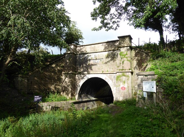
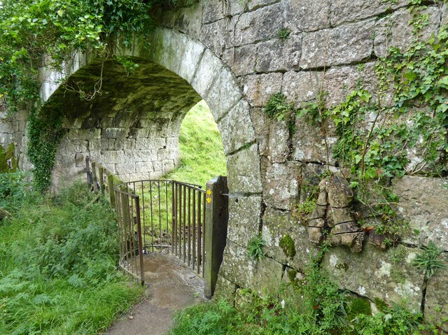
Hincaster Tunnel
The Hincaster Tunnel is a canal tunnel on the Lancaster Canal at Hincaster, a hamlet in Cumbria, England. == History == Work to extend the Lancaster Canal...
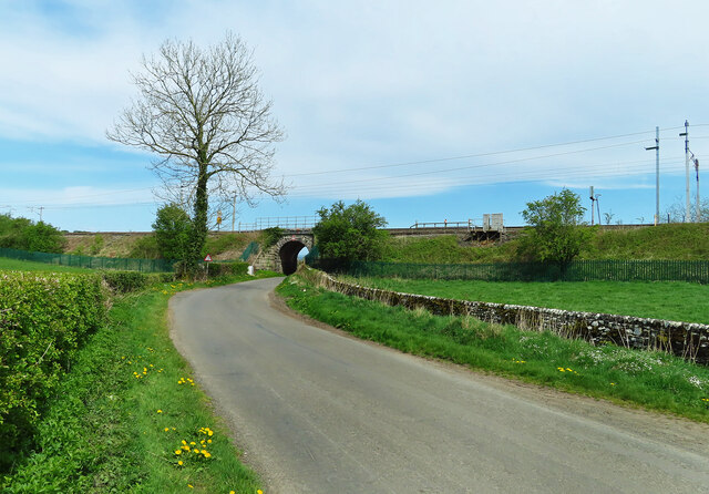
Hincaster
Hincaster is a small hamlet and civil parish in the South Lakeland district of Cumbria, England, located between Kendal and Milnthorpe. In the 2001 census...

Levens Hall
Levens Hall is a manor house in the Kent valley, near the village of Levens and 5 miles (9 km) south of Kendal in Cumbria, Northern England. == History... ==

Causeway End
Causeway End is a hamlet in Cumbria, England.
Nearby Amenities
Located within 500m of 54.261044,-2.7620156Have you been to Summerhouse Hill?
Leave your review of Summerhouse Hill below (or comments, questions and feedback).