Charley Island
Island in Westmorland South Lakeland
England
Charley Island
Charley Island is a small, uninhabited island located off the coast of Westmorland in the North West of England. Situated in the Morecambe Bay, it is part of a group of islands known as the Westmorland Islands. Charley Island is approximately 2 kilometers long and 1 kilometer wide, with an area of around 1.5 square kilometers.
The island is mostly composed of salt marshes and sand dunes, providing a unique habitat for a variety of plant and animal species. It is an important site for birdwatching and is designated as a Site of Special Scientific Interest (SSSI) due to its rich biodiversity.
Access to Charley Island is limited as it can only be reached by boat during low tide. The surrounding waters are known for their treacherous currents, making the island difficult to reach. However, it attracts a small number of adventurous visitors who are keen to explore its natural beauty.
The island is named after Charles Gibson, a local fisherman who used to frequent the area. Charley Island has a rich history, with evidence of human activity dating back to the Neolithic period. Archaeological excavations have revealed the presence of ancient burial mounds, stone tools, and pottery shards.
Today, Charley Island remains largely untouched and serves as an important wildlife sanctuary. It is a haven for various bird species, including wading birds, ducks, and gulls. The island's remote location and pristine environment make it an ideal spot for nature lovers and those seeking tranquility away from the bustling city life.
If you have any feedback on the listing, please let us know in the comments section below.
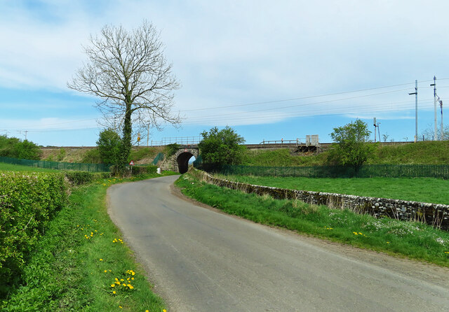
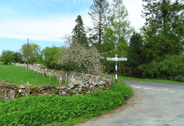
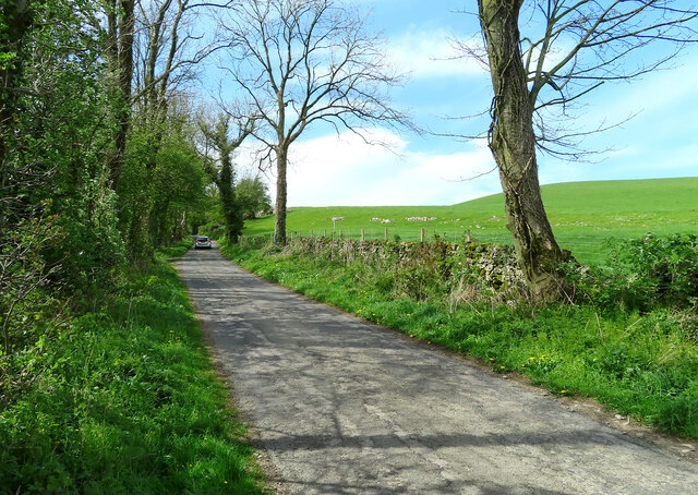
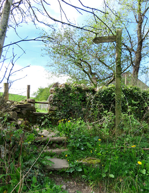
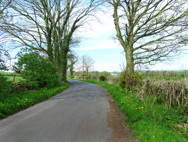
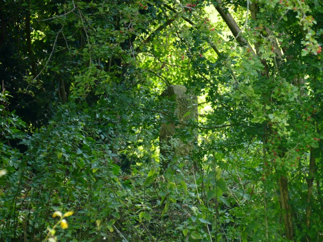
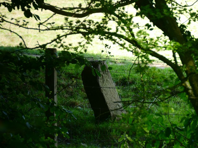
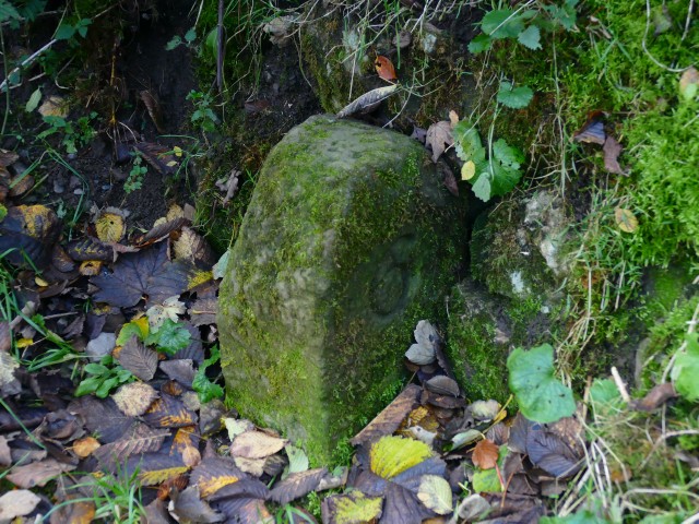
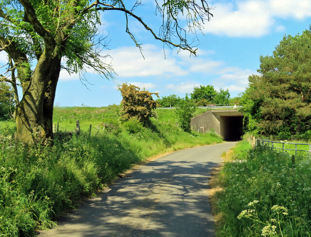
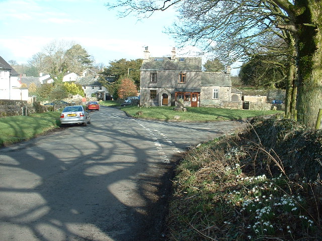
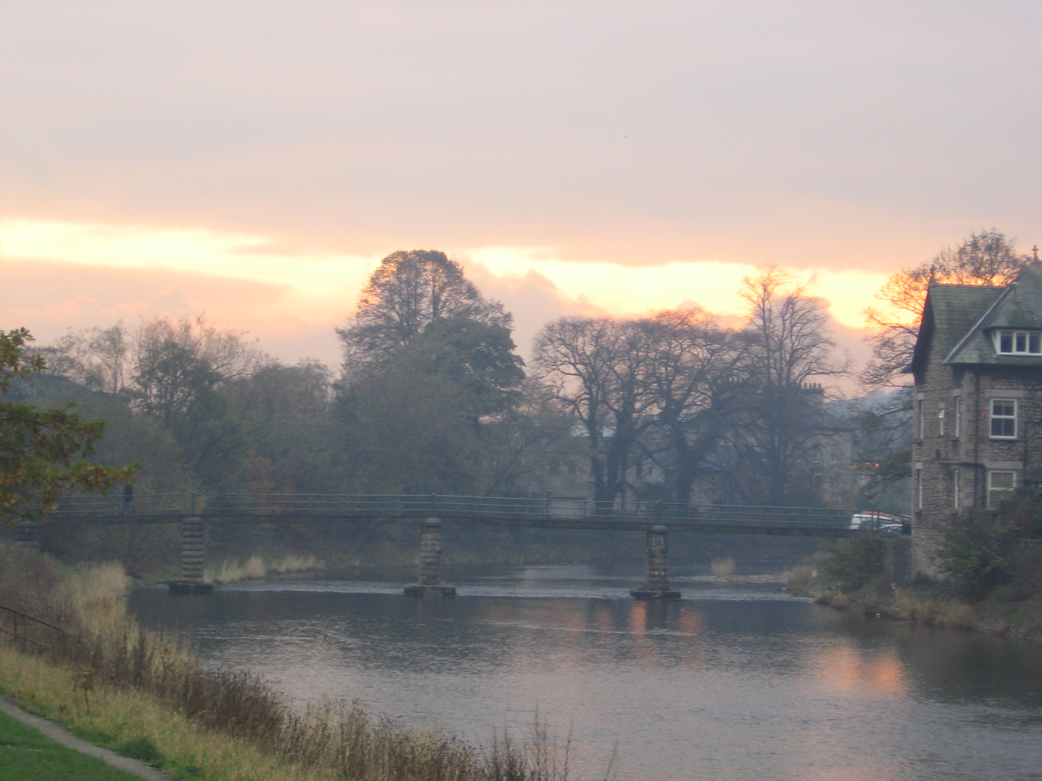
Charley Island Images
Images are sourced within 2km of 54.262734/-2.767589 or Grid Reference SD5085. Thanks to Geograph Open Source API. All images are credited.

Charley Island is located at Grid Ref: SD5085 (Lat: 54.262734, Lng: -2.767589)
Administrative County: Cumbria
District: South Lakeland
Police Authority: Cumbria
What 3 Words
///educates.pages.implore. Near Milnthorpe, Cumbria
Nearby Locations
Related Wikis

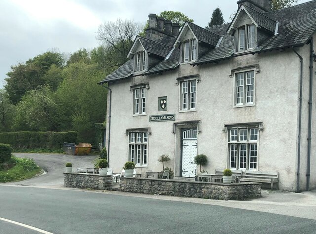
Levens Hall
Levens Hall is a manor house in the Kent valley, near the village of Levens and 5 miles (9 km) south of Kendal in Cumbria, Northern England. == History... ==

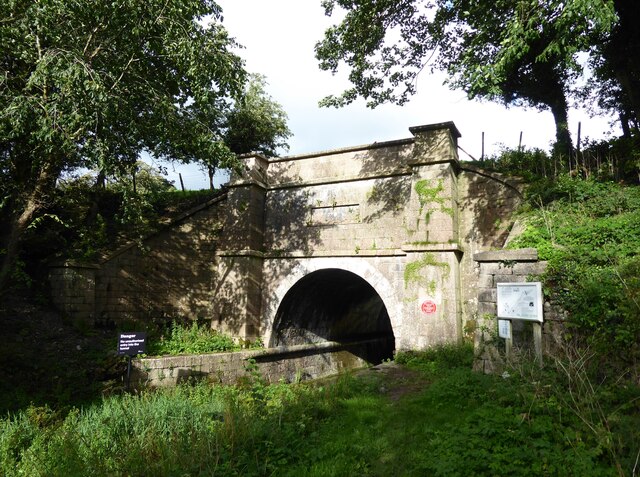
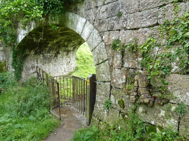
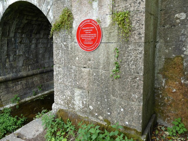
Hincaster Tunnel
The Hincaster Tunnel is a canal tunnel on the Lancaster Canal at Hincaster, a hamlet in Cumbria, England. == History == Work to extend the Lancaster Canal...
Hincaster
Hincaster is a small hamlet and civil parish in the South Lakeland district of Cumbria, England, located between Kendal and Milnthorpe. In the 2001 census...

Causeway End
Causeway End is a hamlet in Cumbria, England.

Levens, Cumbria
Levens is a village and civil parish in Westmorland and Furness, Cumbria. It lies within the historic county of Westmorland. In the 2001 census the parish...
River Kent
The River Kent is a short river in the county of Cumbria in England. It originates in hills surrounding Kentmere, and flows for around 20 miles (32 km...

Sedgwick House, Cumbria
Sedgwick House is located to the west of the village of Sedgwick, Cumbria, England. It was built as a country house, was later used as a school, and then...

Cotes, Cumbria
Cotes is a hamlet in Cumbria, England. == References ==
Nearby Amenities
Located within 500m of 54.262734,-2.767589Have you been to Charley Island?
Leave your review of Charley Island below (or comments, questions and feedback).