Hut Plantation

Wood, Forest in Westmorland South Lakeland

England

Hut Plantation

Well Heads
Well Heads Credit: N Chadwick

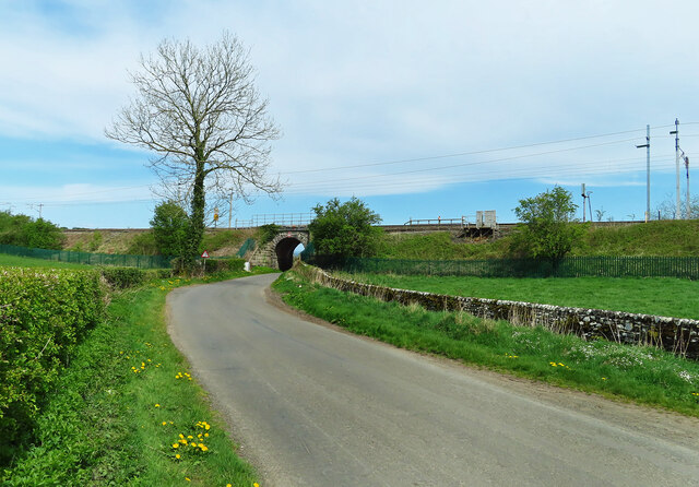
Hut Plantation, located in Westmorland, is a charming woodland area known for its picturesque beauty and rich biodiversity. Situated in the county of Cumbria, England, this plantation is a popular destination for nature lovers, hikers, and photographers.

Covering an area of approximately 200 acres, Hut Plantation is predominantly made up of dense, ancient woodlands consisting of various species of trees such as oak, beech, and birch. The plantation is known for its well-preserved forest ecosystem, providing a habitat for a diverse range of wildlife including deer, squirrels, numerous bird species, and an array of insects.

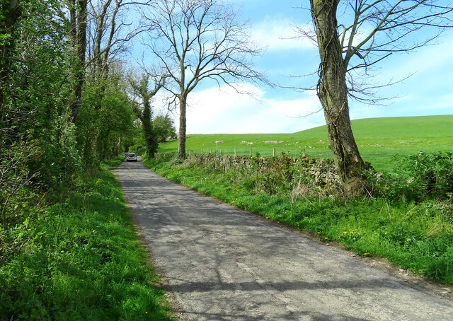
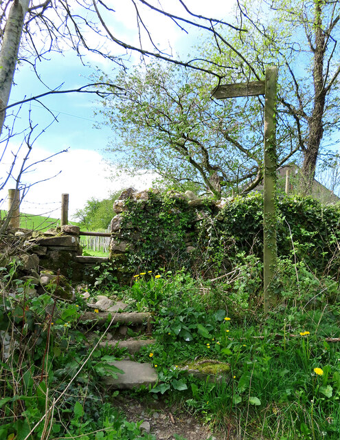
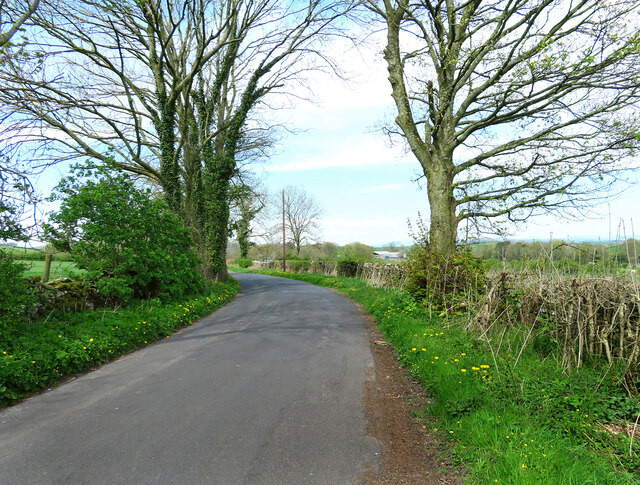
Visitors to Hut Plantation can enjoy a network of well-maintained walking trails that wind their way through the woodland, offering breathtaking views and a tranquil atmosphere. The plantation is suitable for all levels of hikers, with trails ranging from easy strolls to more challenging hikes.

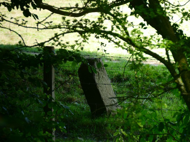
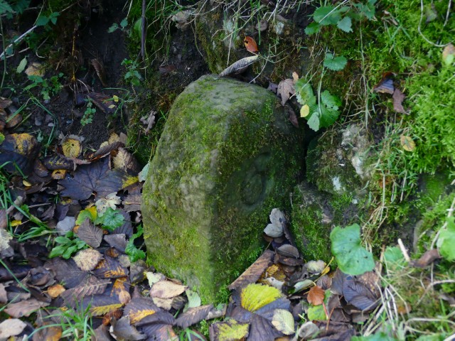
For those interested in the area's history, Hut Plantation holds significant archaeological value. The remains of ancient charcoal pits and other evidence of early human activity can be found within the woodland, providing a glimpse into the area's past.

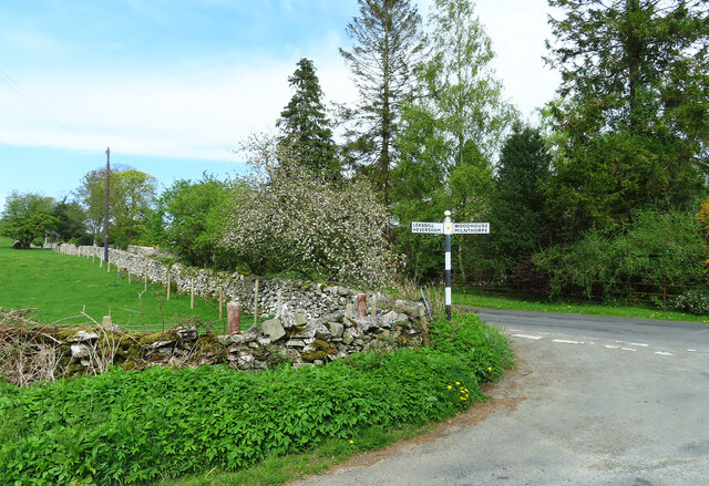
Hut Plantation is easily accessible, with ample parking facilities and well-marked entrances. It is also located near several other attractions, such as quaint villages and historical sites, making it an ideal destination for day trips or longer stays.

Overall, Hut Plantation in Westmorland is a hidden gem, offering a serene escape into nature's embrace, rich with biodiversity and historical significance.

If you have any feedback on the listing, please let us know in the comments section below.

Hut Plantation Images

Images are sourced within 2km of 54.264221/-2.7670178 or Grid Reference SD5085. Thanks to Geograph Open Source API. All images are credited.

Well Heads
Well Heads
Well Heads farmhouse
Cottage, Well Heads Lane
The Strickland Arms At the entrance to Sizergh Castle, the Strickland Arms is named for the family who have owned the Castle for centuries.
The Strickland Arms
At the entrance to Sizergh Castle, the Strickland Arms is named for the family who have owned the Castle for centuries.
The west end of Hincaster Tunnel Opened on the 18th June 1819, the 378 yard tunnel was built to facilitate access to Kendal by the Lancaster Canal.
The tunnel had fallen into disuse by the mid 1940s and it was officially closed in 1955.
There is an Ordnance Survey 1GL bolt benchmark on the pilaster to the right of the tunnel entrance (detail photograph <a href="https://www.geograph.org.uk/photo/7364790">SD5085 : Benchmark, Hincaster Tunnel</a>).
The west end of Hincaster Tunnel
Opened on the 18th June 1819, the 378 yard tunnel was built to facilitate access to Kendal by the Lancaster Canal. The tunnel had fallen into disuse by the mid 1940s and it was officially closed in 1955. There is an Ordnance Survey 1GL bolt benchmark on the pilaster to the right of the tunnel entrance (detail photograph SD5085 : Benchmark, Hincaster Tunnel).
Sedgwick Hall Bridge Detail of the north face of Sedgwick Hall Bridge on the disused Lancaster Canal. The wicket gate caters for walkers using the former towpath which is a public footpath.
There is an Ordnance Survey benchmark visible on one of the voussoirs of the arch (photograph <a href="https://www.geograph.org.uk/photo/7097464">SD5186 : Benchmark, Sedgwick Hall Bridge</a>).
<a href="https://www.geograph.org.uk/photo/6578468">SD5186 : Sedgwick Hall Bridge</a> is a photograph of the bridge from the south.
Sedgwick Hall Bridge
Detail of the north face of Sedgwick Hall Bridge on the disused Lancaster Canal. The wicket gate caters for walkers using the former towpath which is a public footpath. There is an Ordnance Survey benchmark visible on one of the voussoirs of the arch (photograph SD5186 : Benchmark, Sedgwick Hall Bridge). SD5186 : Sedgwick Hall Bridge is a photograph of the bridge from the south.
Benchmark, Sedgwick Hall Bridge Detail of the Ordnance Survey 1GL Bolt benchmark on the north face of the arch of Sedgwick Hall Bridge. The benchmark marks a height of 46.0004 m above sea level (Ordnance Datum Newlyn) last verified in 1952 (location photograph <a href="https://www.geograph.org.uk/photo/7097453">SD5186 : Sedgwick Hall Bridge</a>).
Benchmark, Sedgwick Hall Bridge
Detail of the Ordnance Survey 1GL Bolt benchmark on the north face of the arch of Sedgwick Hall Bridge. The benchmark marks a height of 46.0004 m above sea level (Ordnance Datum Newlyn) last verified in 1952 (location photograph SD5186 : Sedgwick Hall Bridge).
On Viver Lane Viewed where the lane passes below the West Coast main railway line on a fine April afternoon.
On Viver Lane
Viewed where the lane passes below the West Coast main railway line on a fine April afternoon.
Junction near Hincaster Turn left here for Hincaster or right for Woodhouse and Milnthorpe.
Junction near Hincaster
Turn left here for Hincaster or right for Woodhouse and Milnthorpe.
Towards Leasgill This road leads to Leasgill and then connects with the A6.
Towards Leasgill
This road leads to Leasgill and then connects with the A6.
Footpath near Hincaster The roadside start of this path, one of many in the area.
Footpath near Hincaster
The roadside start of this path, one of many in the area.
This way to Hincaster A quiet country road leading to Hincaster village. Roadside dandelions add a splash of spring colour to the scene.
This way to Hincaster
A quiet country road leading to Hincaster village. Roadside dandelions add a splash of spring colour to the scene.
Old Milestone Marker 04-53 F (between bridges 178-177), Lancaster Canal Old Milestone located by the side of the dry section of the Lancaster Canal.
This milestone is 53 miles from the centre of Preston and 4 miles from Kendal.

Inscription reads:-
23 :: 4
(Miles from Lancaster and Kendal respectively)

Milestone Society National ID: LAN-53
Old Milestone Marker 04-53 F (between bridges 178-177), Lancaster Canal
Old Milestone located by the side of the dry section of the Lancaster Canal. This milestone is 53 miles from the centre of Preston and 4 miles from Kendal. Inscription reads:- 23 :: 4 (Miles from Lancaster and Kendal respectively) Milestone Society National ID: LAN-53
Old Milestone Marker 05-52 F (between bridges 176-175), Lancaster Canal Old Milestone located by the side of the dry section of the Lancaster Canal. This milestone is 52 miles from the centre of Preston and 5 miles from Kendal. 

Inscription reads:- 
22 :: 5 
(Miles from Lancaster and Kendal respectively)

Milestone Society National ID: LAN-52
Old Milestone Marker 05-52 F (between bridges 176-175), Lancaster Canal
Old Milestone located by the side of the dry section of the Lancaster Canal. This milestone is 52 miles from the centre of Preston and 5 miles from Kendal. Inscription reads:- 22 :: 5 (Miles from Lancaster and Kendal respectively) Milestone Society National ID: LAN-52
Old Milestone Marker 06-51 R (between bridges 172-171), Lancaster Canal Old Milestone located by the side of the Lancaster Canal. 
This milestone is 51 miles from the centre of Preston and 6 miles from Kendal. 

Inscription reads:- 
21 :: 6 
(Miles from Lancaster and Kendal respectively)

Milestone Society National ID: LAN-51
Old Milestone Marker 06-51 R (between bridges 172-171), Lancaster Canal
Old Milestone located by the side of the Lancaster Canal. This milestone is 51 miles from the centre of Preston and 6 miles from Kendal. Inscription reads:- 21 :: 6 (Miles from Lancaster and Kendal respectively) Milestone Society National ID: LAN-51
Benchmark, Hincaster Tunnel Detail of the Ordnance Survey 1GL Published Abstract Bolt benchmark on the west portal of Hincaster Tunnel. The benchmark marks a height of 45.9205m above mean sea level (Ordnance Datum Newlyn) last levelled and verified in 1971 (location photograph <a href="https://www.geograph.org.uk/photo/7364809">SD5085 : Transport Trust Red Wheel</a>).
Benchmark, Hincaster Tunnel
Detail of the Ordnance Survey 1GL Published Abstract Bolt benchmark on the west portal of Hincaster Tunnel. The benchmark marks a height of 45.9205m above mean sea level (Ordnance Datum Newlyn) last levelled and verified in 1971 (location photograph SD5085 : Transport Trust Red Wheel).
Transport Trust Red Wheel On the west portal of Hincaster Tunnel, the Transport Trust ‘Red Wheel’ sign highlights the importance of the tunnel as a transport heritage site.
The Transport Trust is Britain’s only charity dedicated to the preservation of all modes of transport and its infrastructure and the Red Wheel heritage plaque is the transport equivalent of an English Heritage Blue Plaque.
There is an Ordnance Survey bolt benchmark on the wall directly below the plaque (detail photograph <a href="https://www.geograph.org.uk/photo/7364790">SD5085 : Benchmark, Hincaster Tunnel</a>).
Transport Trust Red Wheel
On the west portal of Hincaster Tunnel, the Transport Trust ‘Red Wheel’ sign highlights the importance of the tunnel as a transport heritage site. The Transport Trust is Britain’s only charity dedicated to the preservation of all modes of transport and its infrastructure and the Red Wheel heritage plaque is the transport equivalent of an English Heritage Blue Plaque. There is an Ordnance Survey bolt benchmark on the wall directly below the plaque (detail photograph SD5085 : Benchmark, Hincaster Tunnel).
Railway buildings at Hincaster Typical red brick buildings associated with the railway.
Railway buildings at Hincaster
Typical red brick buildings associated with the railway.
Show me another place!

Hut Plantation is located at Grid Ref: SD5085 (Lat: 54.264221, Lng: -2.7670178)

Administrative County: Cumbria

District: South Lakeland

Police Authority: Cumbria

What 3 Words

///unsecured.wasp.howler. Near Milnthorpe, Cumbria

Related Wikis

Levens Hall

Levens Hall is a manor house in the Kent valley, near the village of Levens and 5 miles (9 km) south of Kendal in Cumbria, Northern England. == History... ==
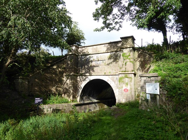
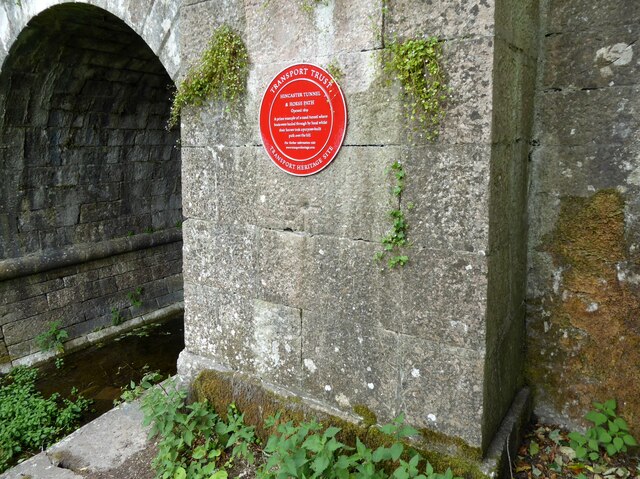
Hincaster Tunnel

The Hincaster Tunnel is a canal tunnel on the Lancaster Canal at Hincaster, a hamlet in Cumbria, England. == History == Work to extend the Lancaster Canal...
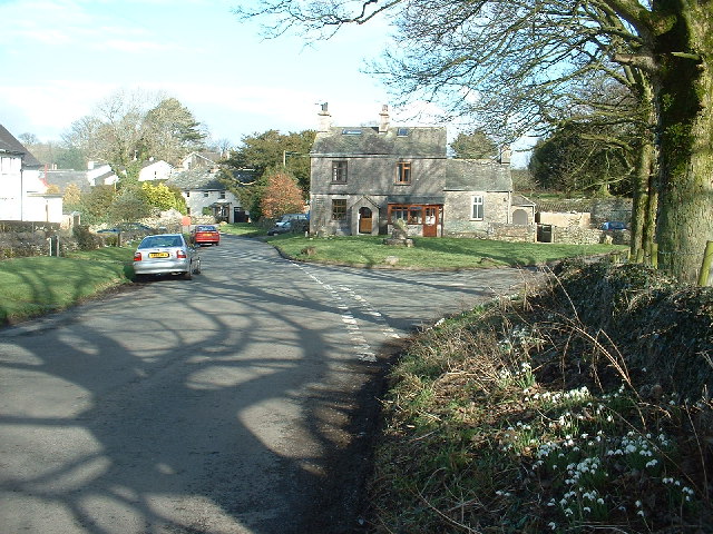
Hincaster

Hincaster is a small hamlet and civil parish in the South Lakeland district of Cumbria, England, located between Kendal and Milnthorpe. In the 2001 census...

Causeway End

Causeway End is a hamlet in Cumbria, England.

Nearby Amenities

Located within 500m of 54.264221,-2.7670178
Power: pole
Transformer: yes
Lat/Long: 54.2636993/-2.7724023
Power: pole
Lat/Long: 54.2645472/-2.7712806
Power: pole
Lat/Long: 54.2681032/-2.768722
Power: pole
Lat/Long: 54.2670643/-2.7694818
Power: pole
Lat/Long: 54.2662558/-2.7700865
Power: pole
Lat/Long: 54.265521/-2.7706138
The data included in this document is from www.openstreetmap.org. The data is made available under ODbL.

Have you been to Hut Plantation?

Leave your review of Hut Plantation below (or comments, questions and feedback).