Acacia Dub
Lake, Pool, Pond, Freshwater Marsh in Westmorland South Lakeland
England
Acacia Dub
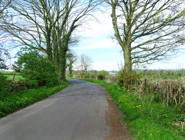
Acacia Dub, located in Westmorland, is a diverse freshwater ecosystem that encompasses a lake, pool, pond, and freshwater marsh. This natural landscape offers a picturesque setting and is home to a wide variety of flora and fauna.
The lake in Acacia Dub is a large body of water that provides a habitat for various aquatic species. It is surrounded by lush vegetation, including tall grasses, shrubs, and trees, creating a serene and tranquil environment. The lake is a popular spot for fishing and boating activities, attracting both locals and tourists alike.
Adjacent to the lake, there is a pool that is known for its crystal-clear water. This pool serves as a refreshing swimming spot during hot summer months. Its sandy beach area is perfect for sunbathing and picnicking, while the shallow waters make it safe for families with young children.
A pond can also be found within Acacia Dub, providing a more secluded and intimate setting. This smaller body of water is surrounded by dense vegetation, including lily pads and reeds, providing a habitat for a variety of aquatic plants and animals. Nature enthusiasts can often spot frogs, turtles, and various bird species in this tranquil pond.
Lastly, the freshwater marsh in Acacia Dub is a unique ecosystem characterized by its wetland vegetation. This marshy area is home to numerous species of water plants, including cattails and water lilies. It serves as a breeding ground for many amphibians and waterfowl, making it a haven for birdwatchers and nature photographers.
Overall, Acacia Dub in Westmorland offers a diverse range of aquatic environments, making it a haven for nature lovers and a valuable habitat for a wide array of plant and animal species.
If you have any feedback on the listing, please let us know in the comments section below.
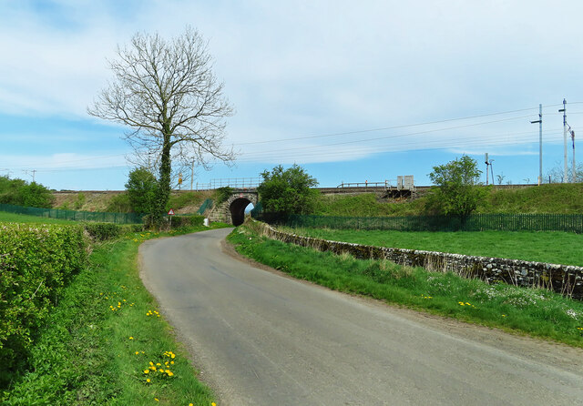
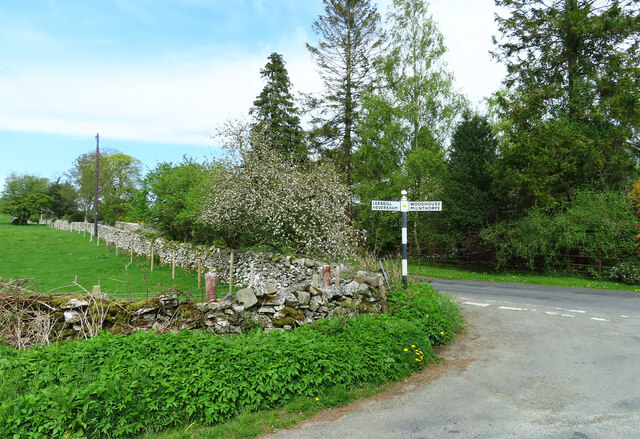
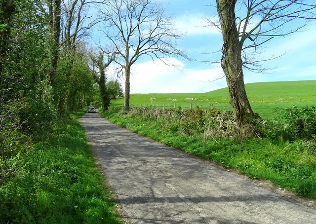
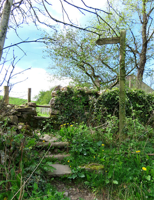
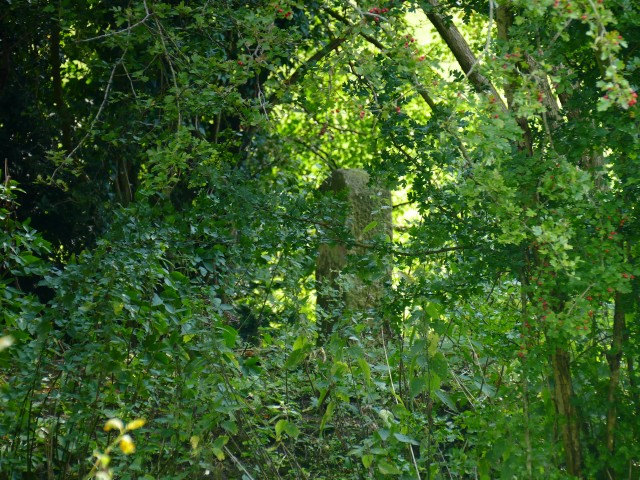
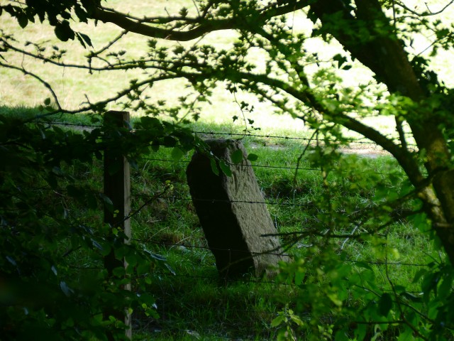
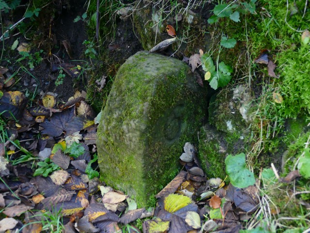
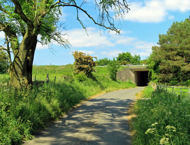
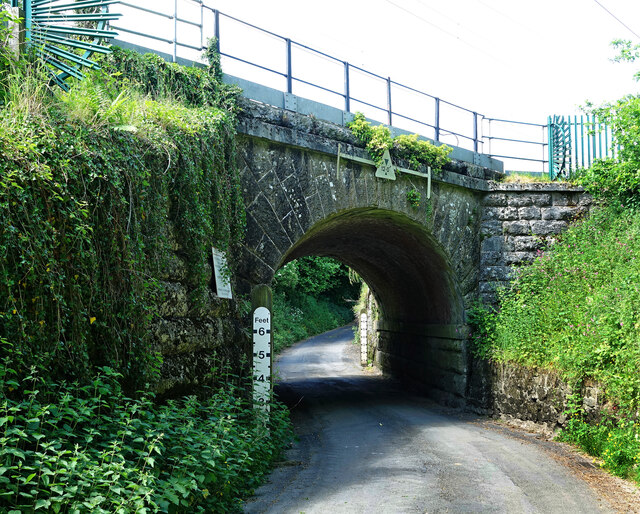
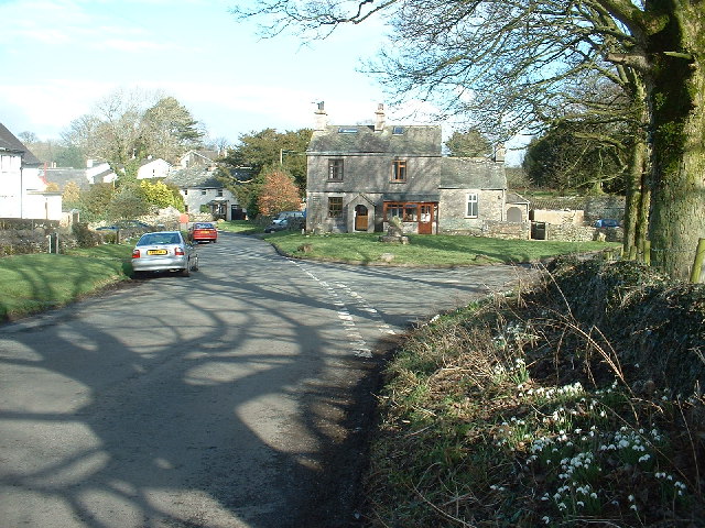
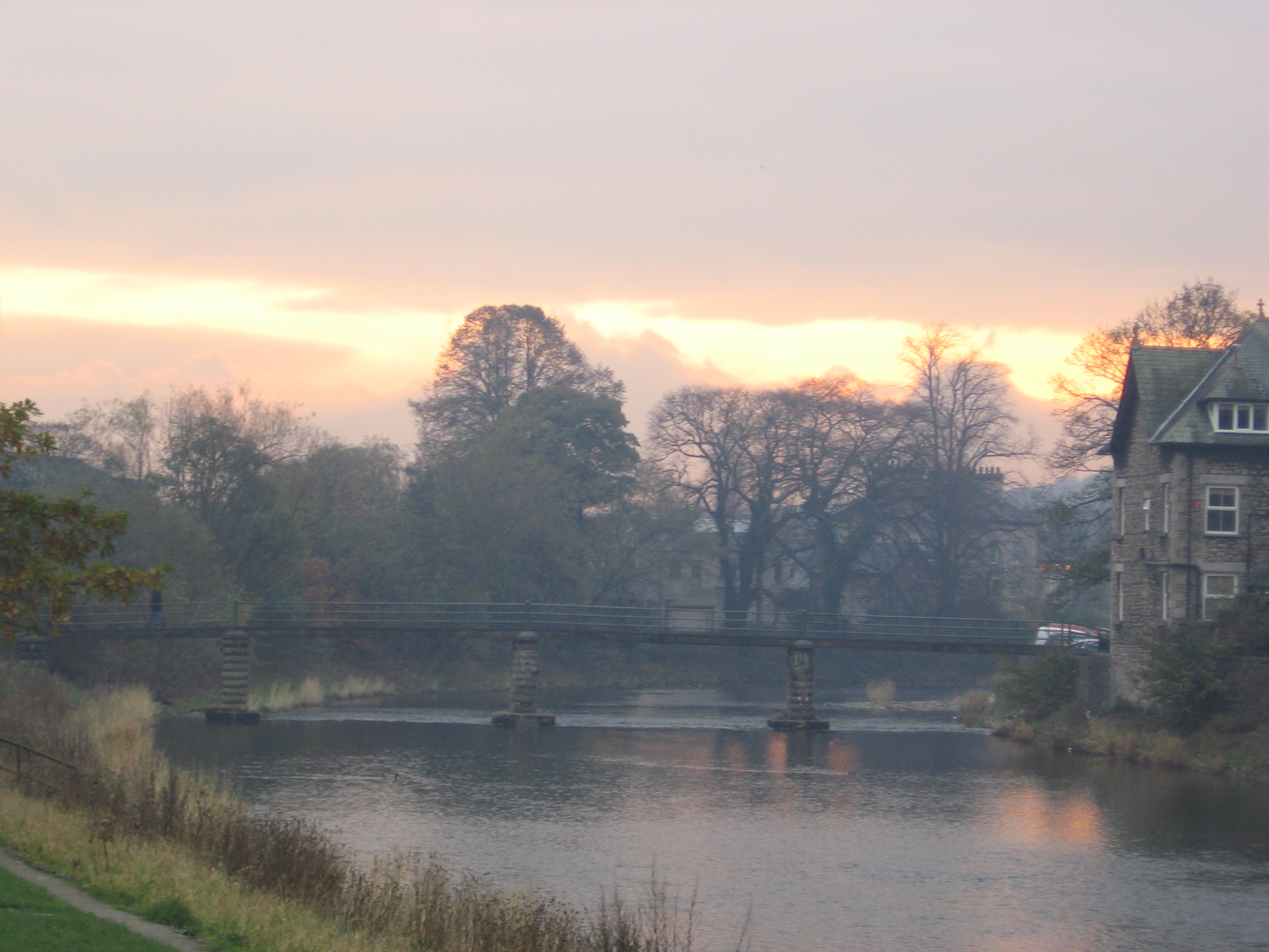
Acacia Dub Images
Images are sourced within 2km of 54.264136/-2.7662486 or Grid Reference SD5085. Thanks to Geograph Open Source API. All images are credited.
Acacia Dub is located at Grid Ref: SD5085 (Lat: 54.264136, Lng: -2.7662486)
Administrative County: Cumbria
District: South Lakeland
Police Authority: Cumbria
What 3 Words
///clip.trunk.surfacing. Near Milnthorpe, Cumbria
Nearby Locations
Related Wikis

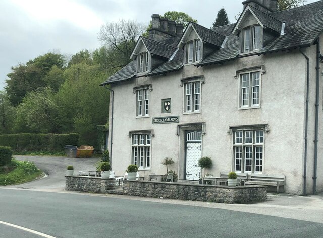
Levens Hall
Levens Hall is a manor house in the Kent valley, near the village of Levens and 5 miles (9 km) south of Kendal in Cumbria, Northern England. == History... ==

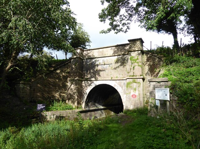
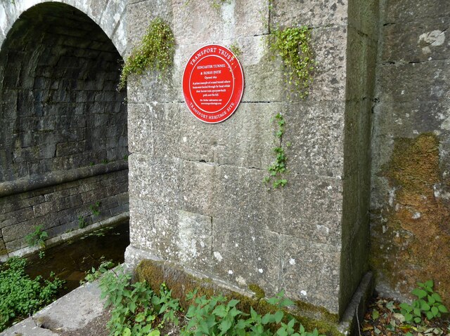
Hincaster Tunnel
The Hincaster Tunnel is a canal tunnel on the Lancaster Canal at Hincaster, a hamlet in Cumbria, England. == History == Work to extend the Lancaster Canal...
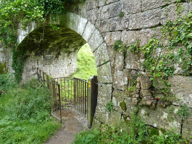
Hincaster
Hincaster is a small hamlet and civil parish in the South Lakeland district of Cumbria, England, located between Kendal and Milnthorpe. In the 2001 census...

Causeway End
Causeway End is a hamlet in Cumbria, England.

Levens, Cumbria
Levens is a village and civil parish in Westmorland and Furness, Cumbria. It lies within the historic county of Westmorland. In the 2001 census the parish...

Sedgwick House, Cumbria
Sedgwick House is located to the west of the village of Sedgwick, Cumbria, England. It was built as a country house, was later used as a school, and then...
River Kent
The River Kent is a short river in the county of Cumbria in England. It originates in hills surrounding Kentmere, and flows for around 20 miles (32 km...

Cotes, Cumbria
Cotes is a hamlet in Cumbria, England. == References ==
Related Videos

walking through sizergh castle
Step into a Bygone Era: Revealing the Enigmatic History of Sizergh Castle. Join us in this immersive exploration as we unlock the ...

Muddy Boots After The Frost | Walking Tour | 4K
Today I ended up with very muddy boots on this POV walking tour, after the sun had melted the frost, apologies for the heavy ...


Levens Park / Sedgwick Circular Walk
A lovely walk to be done in Southern Cumbria, just four miles down the road from Kendal. Join me on a beautiful autumnal ...
Nearby Amenities
Located within 500m of 54.264136,-2.7662486Have you been to Acacia Dub?
Leave your review of Acacia Dub below (or comments, questions and feedback).