Mill Pool
Lake, Pool, Pond, Freshwater Marsh in Dumfriesshire
Scotland
Mill Pool
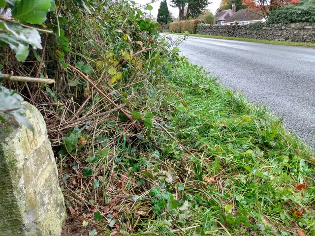
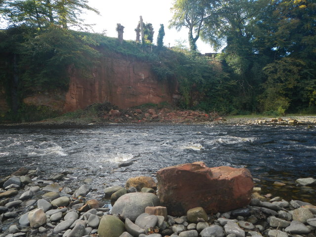
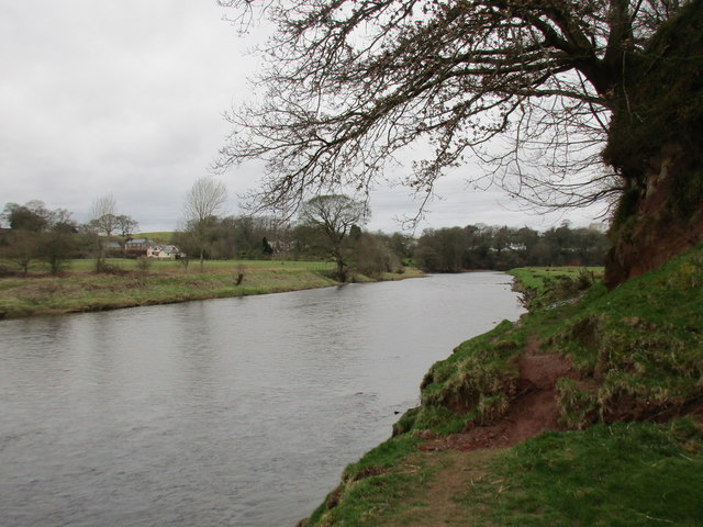
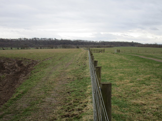
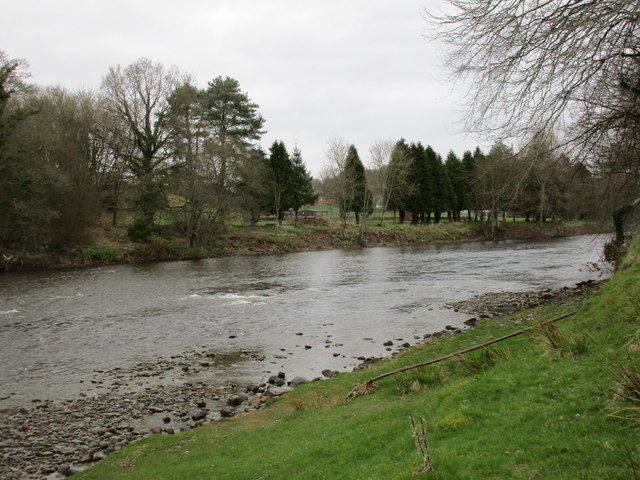
Mill Pool is a picturesque freshwater marsh located in Dumfriesshire, Scotland. Spanning an area of approximately 5 acres, it is nestled amidst the rolling hills and lush greenery of the region. The pool is fed by a small stream that meanders through the surrounding countryside, giving it a constant supply of fresh water.
The pool itself is characterized by its tranquil and serene ambiance. Surrounded by reeds and tall grasses, it provides a haven for a wide variety of flora and fauna. The marshy nature of the pool creates a rich and fertile habitat for numerous plant species, including water lilies, cattails, and various aquatic grasses.
The diverse ecosystem of Mill Pool also supports a range of animal life. It is home to numerous species of birds, including mallards, herons, and swans, which can often be seen gracefully gliding across the water's surface. The pool also serves as a breeding ground for several amphibians, such as frogs and newts, which thrive in the marshy environment.
The tranquil setting of Mill Pool makes it a popular destination for nature lovers and photographers alike. Visitors can enjoy leisurely walks along the pool's perimeter, taking in the breathtaking views and observing the abundant wildlife. The pool also offers opportunities for fishing, with anglers often trying their luck at catching trout and perch.
In conclusion, Mill Pool in Dumfriesshire is a captivating freshwater marsh that showcases the beauty of Scotland's natural landscape. Its diverse ecosystem and serene ambiance make it a haven for both flora and fauna, providing a peaceful retreat for visitors seeking solace in nature.
If you have any feedback on the listing, please let us know in the comments section below.
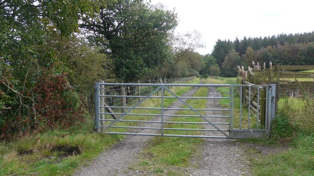
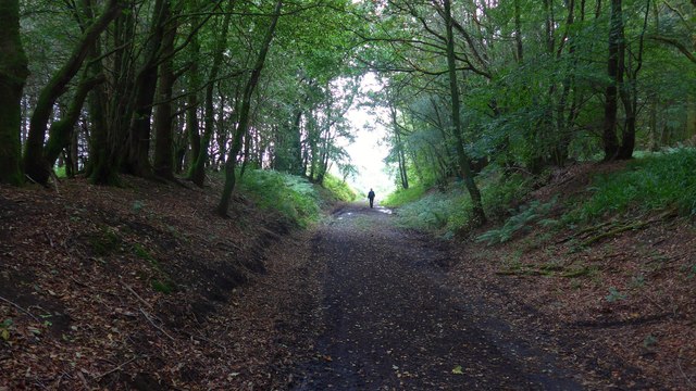
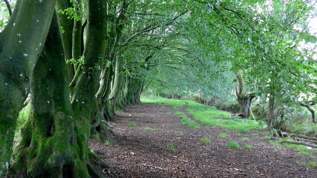
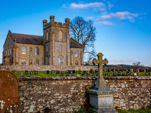
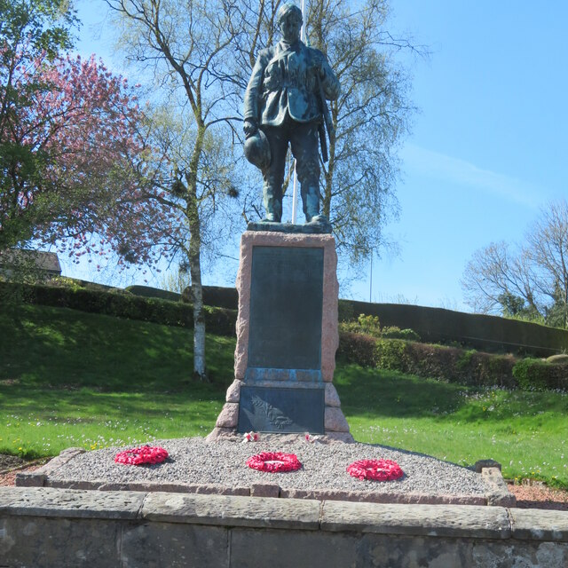
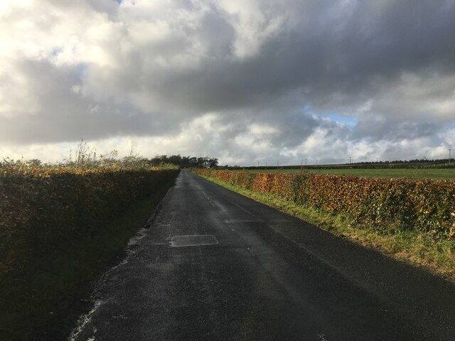
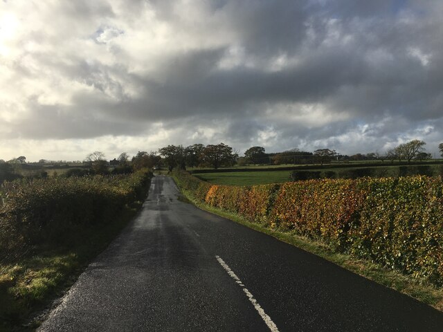
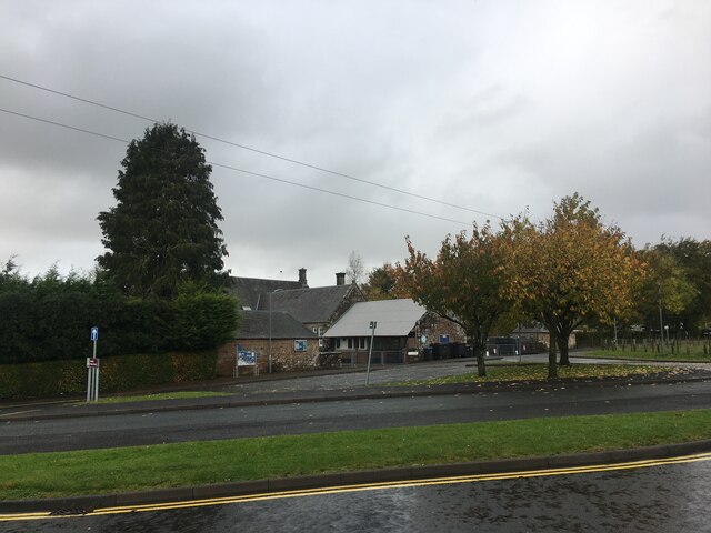
Mill Pool Images
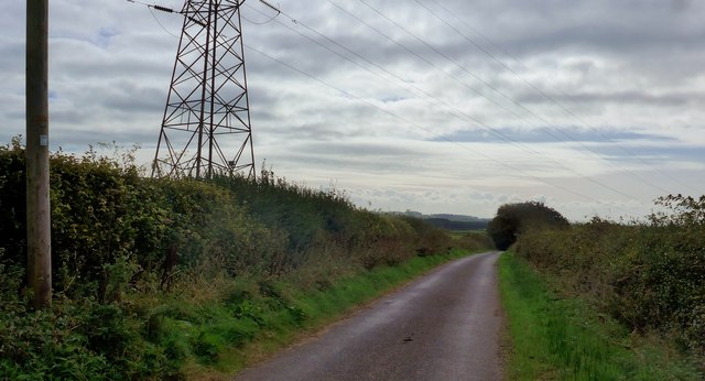
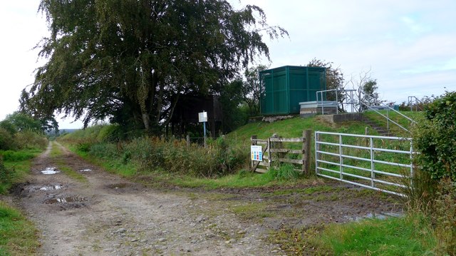
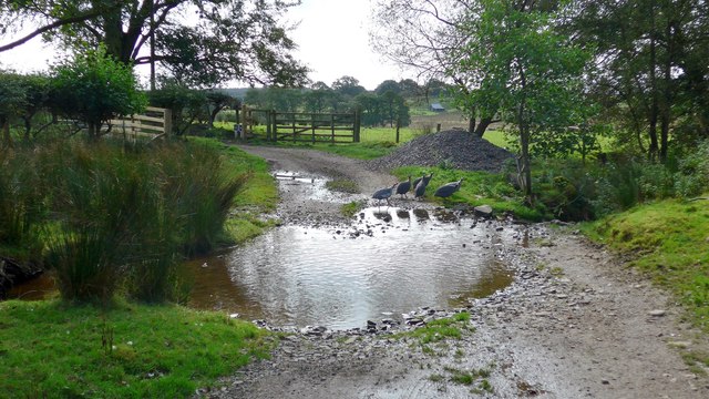
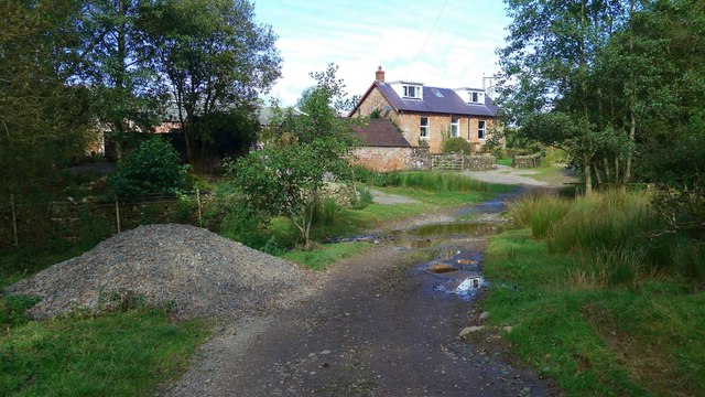
Images are sourced within 2km of 55.082625/-2.9535731 or Grid Reference NY3976. Thanks to Geograph Open Source API. All images are credited.
Mill Pool is located at Grid Ref: NY3976 (Lat: 55.082625, Lng: -2.9535731)
Unitary Authority: Dumfries and Galloway
Police Authority: Dumfries and Galloway
What 3 Words
///workroom.motivate.neat. Near Langholm, Dumfries & Galloway
Nearby Locations
Related Wikis
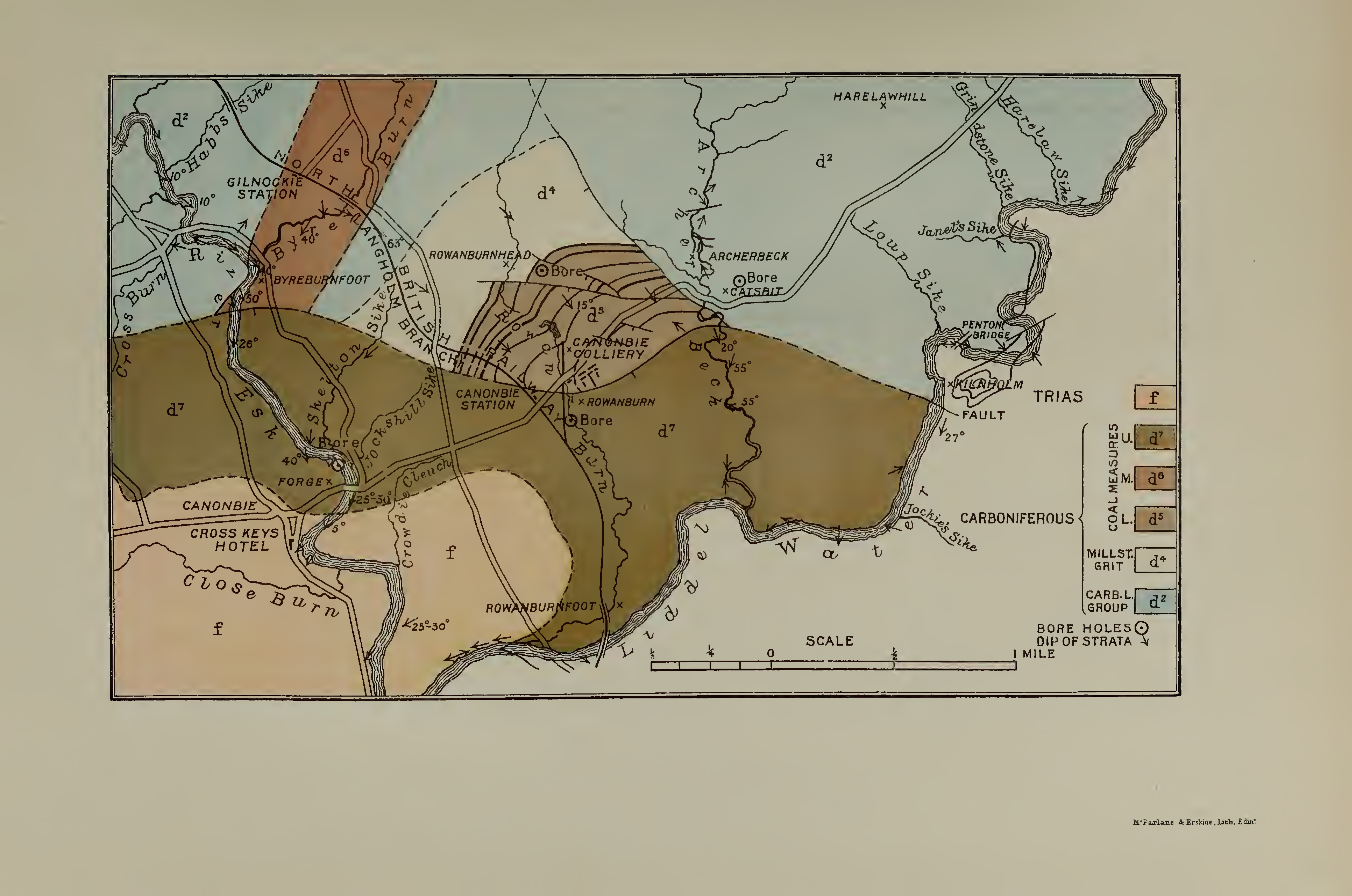
Canonbie Coalfield
The Canonbie Coalfield is a small and largely concealed coalfield at Canonbie in the south of Scotland. A comprehensive survey by Peach and Horne was published...

Canonbie
Canonbie (Scottish Gaelic: Canonbaidh) is a small village in Dumfriesshire within the local authority area of Dumfries and Galloway in Scotland, 6 miles...

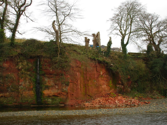
Fairy Loup
Fairy Loup is a waterfall located on Byre Burn, a tributary of River Esk, in Dumfries and Galloway, Scotland.The waterfall's name originates in a local...
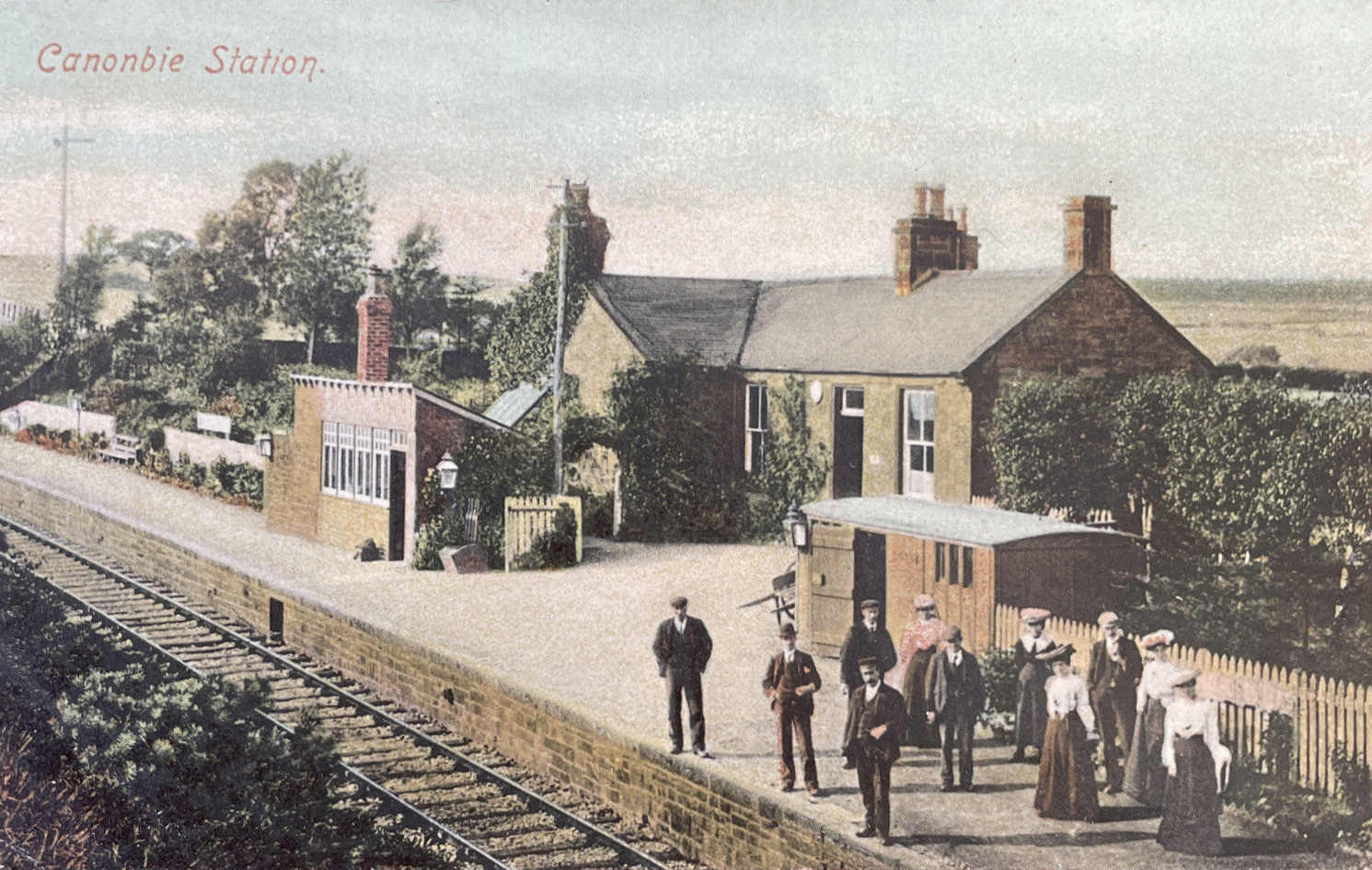
Canonbie railway station
Canonbie railway station served the village of Canonbie, Dumfries and Galloway, Scotland from 1862 to 1967 on the Border Union Railway. == History == The...
Gilnockie railway station
Gilnockie railway station served the hamlet of Hollows, Dumfries and Galloway, Scotland from 1864 to 1967 on the Border Union Railway. == History == The...
Rowanburn
Rowanburn is a hamlet in Eskdale, Dumfries and Galloway, Scotland. Located near Canonbie, it sits around 5 miles south-east of Langholm and about a mile...
Gilnockie Tower
Gilnockie Tower is a 16th-century tower house, located at the hamlet of Hollows, 2.3 km north of Canonbie, in Dumfriesshire, south-west Scotland. The tower...
Riddings Junction railway station
Riddings Junction railway station was a railway station in Cumbria, England, from 1862 to 1967 on the Border Union Railway. == History == The station opened...
Nearby Amenities
Located within 500m of 55.082625,-2.9535731Have you been to Mill Pool?
Leave your review of Mill Pool below (or comments, questions and feedback).